

Search results
282 results found for “1881”
-
 Sullivan Concession) 1881Sullivan Concession) 1881
- Regular price
-
$58.95 $131.95 - Regular price
-
$41.95 - Sale price
-
$58.95 $131.95
-
 Neue Karte De Staates Texas Für 1881Neue Karte De Staates Texas Für 1881
- Regular price
-
$51.95 $88.95 - Regular price
-
$32.95 - Sale price
-
$51.95 $88.95
-
 Map of the Richmond & Danville Railroad System In Virginia, North Carolina, South Carolina, Georgia, Tennessee, Alabama, Mississippi, Arkansas, & Texas 1881Map of the Richmond & Danville Railroad System In Virginia, North Carolina, South Carolina, Georgia, Tennessee, Alabama, Mississippi, Arkansas, & Texas 1881
- Regular price
-
$51.95 $127.95 - Regular price
-
$32.95 - Sale price
-
$51.95 $127.95
-
 Map Showing Lines and Connections of the Shenandoah Valley and Norfolk & Western Railways 1881Map Showing Lines and Connections of the Shenandoah Valley and Norfolk & Western Railways 1881
- Regular price
-
$51.95 $122.95 - Regular price
-
$38.95 - Sale price
-
$51.95 $122.95
-
 China and Japan 1881China and Japan 1881
- Regular price
-
$58.95 $99.95 - Regular price
-
$41.95 - Sale price
-
$58.95 $99.95
-
 North Adams, Massachusetts 1881North Adams, Massachusetts 1881
- Regular price
-
$51.95 $145.95 - Regular price
-
$32.95 - Sale price
-
$51.95 $145.95
-
 Map Showing the Southern Maryland Railroad and Its Connections North, South, East, and West 1881Map Showing the Southern Maryland Railroad and Its Connections North, South, East, and West 1881
- Regular price
-
$57.95 $99.95 - Regular price
-
$40.95 - Sale price
-
$57.95 $99.95
-
 Amsterdam & Port Jackson, New York 1881Amsterdam & Port Jackson, New York 1881
- Regular price
-
$51.95 $143.95 - Regular price
-
$32.95 - Sale price
-
$51.95 $143.95
-
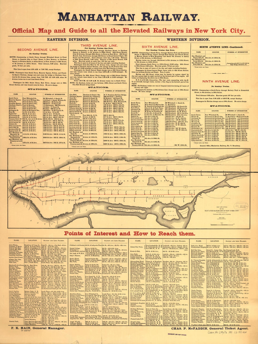 Map and Guide of the Elevated Railroads of New York City 1881Map and Guide of the Elevated Railroads of New York City 1881
- Regular price
-
$51.95 $91.95 - Regular price
-
$32.95 - Sale price
-
$51.95 $91.95
-
 Massachusetts - Continued from Historical Hand-atlas, Illustrated, Containing Large Scale Copper Plate Maps of Each State and Territory of the United States, and the Provinces of Canada, Together With a Complete Reference Map of the World, … 1881Massachusetts - Continued from Historical Hand-atlas, Illustrated, Containing Large Scale Copper Plate Maps of Each State and Territory of the United States, and the Provinces of Canada, Together With a Complete Reference Map of the World, … 1881
- Regular price
-
$49.95 $88.95 - Regular price
-
$24.95 - Sale price
-
$49.95 $88.95
-
 Map of New Mexico from Historical Hand-atlas, Illustrated, Containing Large Scale Copper Plate Maps of Each State and Territory of the United States, and the Provinces of Canada, Together With a Complete Reference Map of the World, … 1881Map of New Mexico from Historical Hand-atlas, Illustrated, Containing Large Scale Copper Plate Maps of Each State and Territory of the United States, and the Provinces of Canada, Together With a Complete Reference Map of the World, … 1881
- Regular price
-
$49.95 $99.95 - Regular price
-
$36.95 - Sale price
-
$49.95 $99.95
-
 Subdivision of Public Lands from Historical Hand-atlas, Illustrated, Containing Large Scale Copper Plate Maps of Each State and Territory of the United States, and the Provinces of Canada, Together With a Complete Reference Map of the World, … 1881Subdivision of Public Lands from Historical Hand-atlas, Illustrated, Containing Large Scale Copper Plate Maps of Each State and Territory of the United States, and the Provinces of Canada, Together With a Complete Reference Map of the World, … 1881
- Regular price
-
$49.95 $88.95 - Regular price
-
$23.95 - Sale price
-
$49.95 $88.95
-
 Sioux Falls, Minnehaha County, Dakota 1881Sioux Falls, Minnehaha County, Dakota 1881
- Regular price
-
$49.95 $203.95 - Regular price
-
$34.95 - Sale price
-
$49.95 $203.95
-
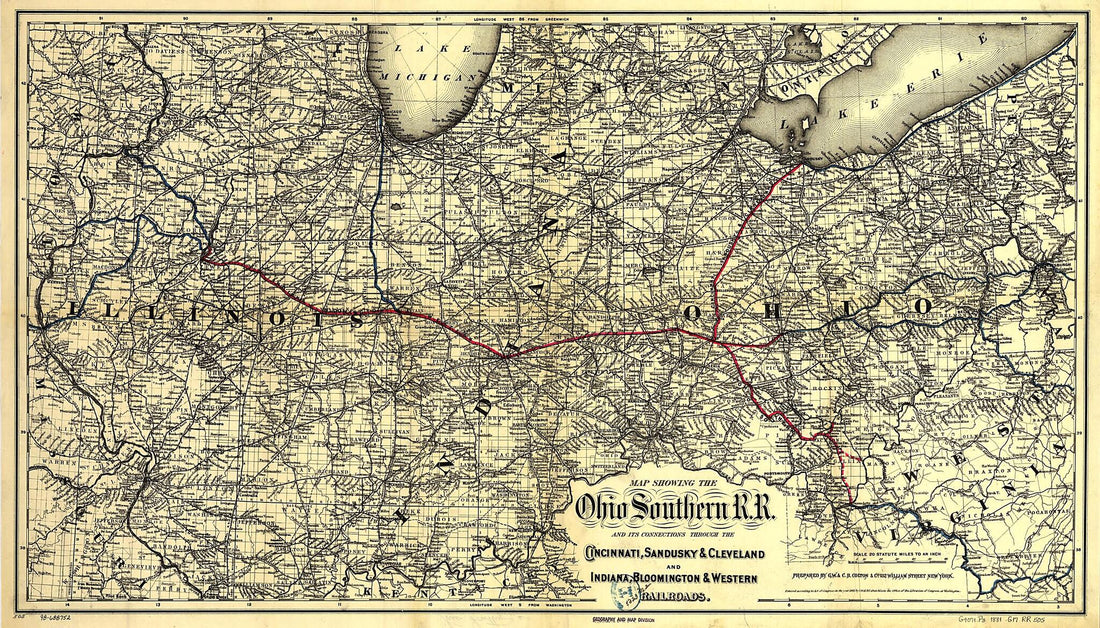 Map Showing the Ohio Southern Railroad and Its Connections Through the Cincinnati, Sandusky & Cleveland and Indiana, Bloomington & Western Railroads 1881Map Showing the Ohio Southern Railroad and Its Connections Through the Cincinnati, Sandusky & Cleveland and Indiana, Bloomington & Western Railroads 1881
- Regular price
-
$58.95 $140.95 - Regular price
-
$41.95 - Sale price
-
$58.95 $140.95
-
 New York from Historical Hand-atlas, Illustrated, Containing Large Scale Copper Plate Maps of Each State and Territory of the United States, and the Provinces of Canada, Together With a Complete Reference Map of the World, … 1881New York from Historical Hand-atlas, Illustrated, Containing Large Scale Copper Plate Maps of Each State and Territory of the United States, and the Provinces of Canada, Together With a Complete Reference Map of the World, … 1881
- Regular price
-
$49.95 $88.95 - Regular price
-
$25.95 - Sale price
-
$49.95 $88.95
-
 Europa Politisch 1881Europa Politisch 1881
- Regular price
-
$51.95 $88.95 - Regular price
-
$37.95 - Sale price
-
$51.95 $88.95


