Quick links
25001 products
-
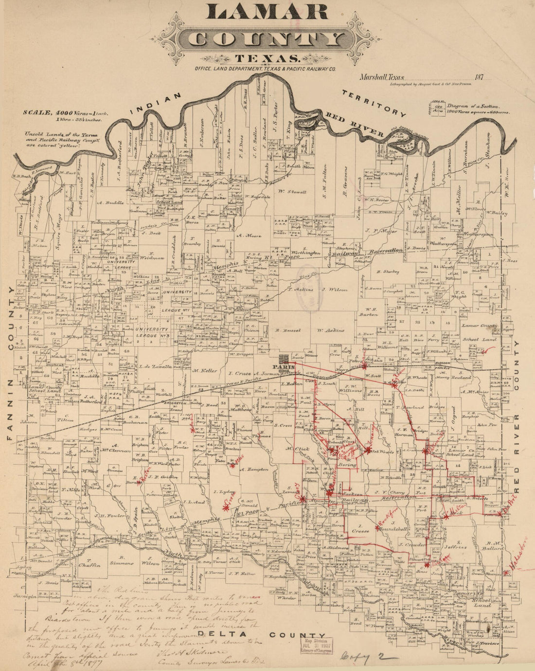 Lamar County, Texas 1870Lamar County, Texas 1870
- Regular price
-
$42.95 $83.95 - Regular price
-
$37.95 - Sale price
-
$42.95 $83.95
-
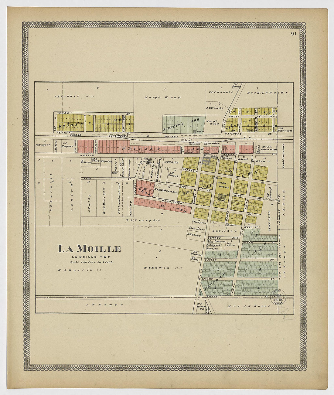 LaMoille from Atlas of Bureau County, Illinois 1905LaMoille from Atlas of Bureau County, Illinois 1905
- Regular price
-
$39.95 $116.95 - Regular price
-
$29.95 - Sale price
-
$39.95 $116.95
-
 Lamoine from Plat Book of McDonough County, Illinois 1893Lamoine from Plat Book of McDonough County, Illinois 1893
- Regular price
-
$43.95 $121.95 - Regular price
-
$31.95 - Sale price
-
$43.95 $121.95
-
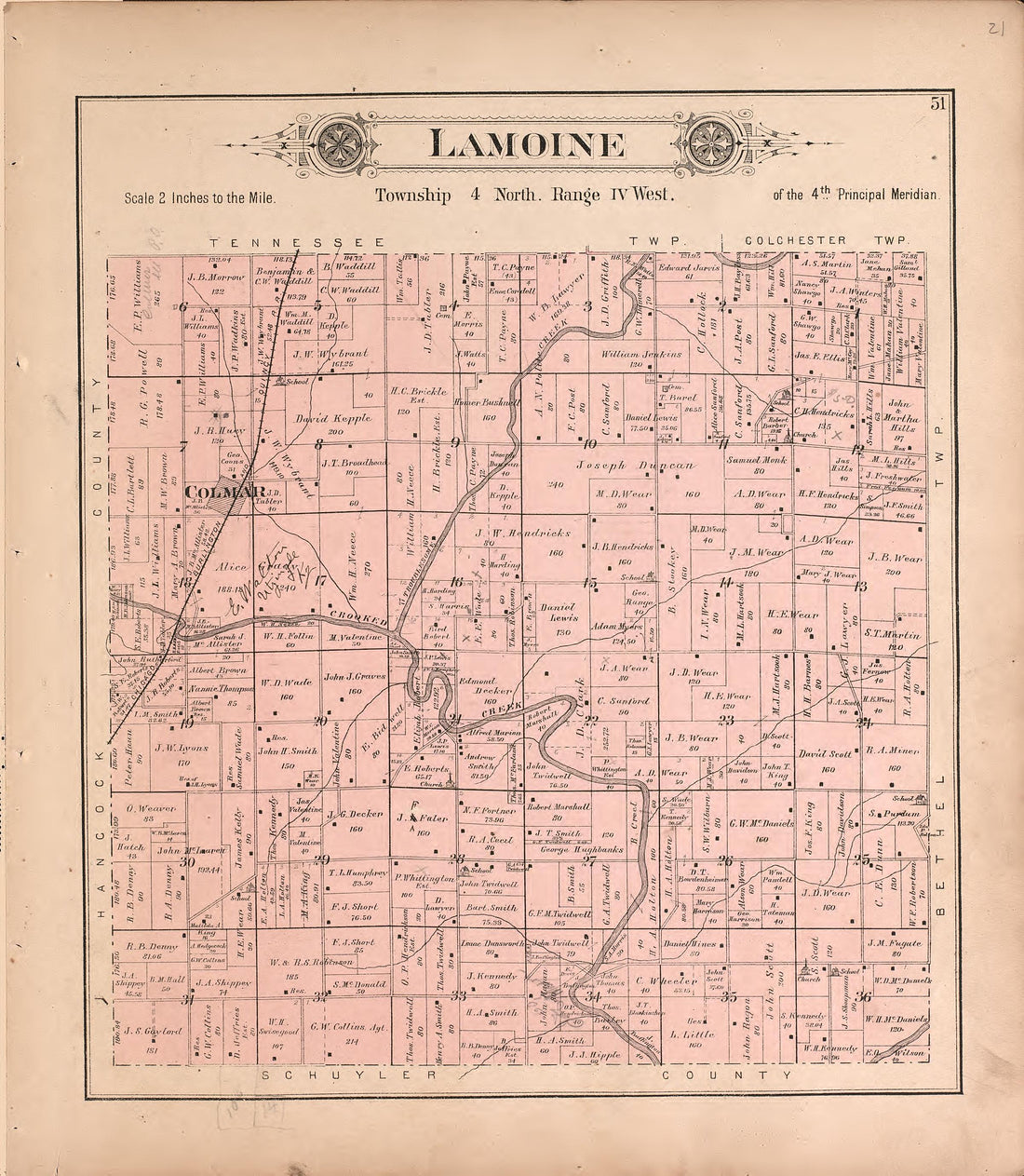 Lamoine from Plat Book of McDonough County, Illinois 1893Lamoine from Plat Book of McDonough County, Illinois 1893
- Regular price
-
$39.95 $83.95 - Regular price
-
$11.95 - Sale price
-
$39.95 $83.95
-
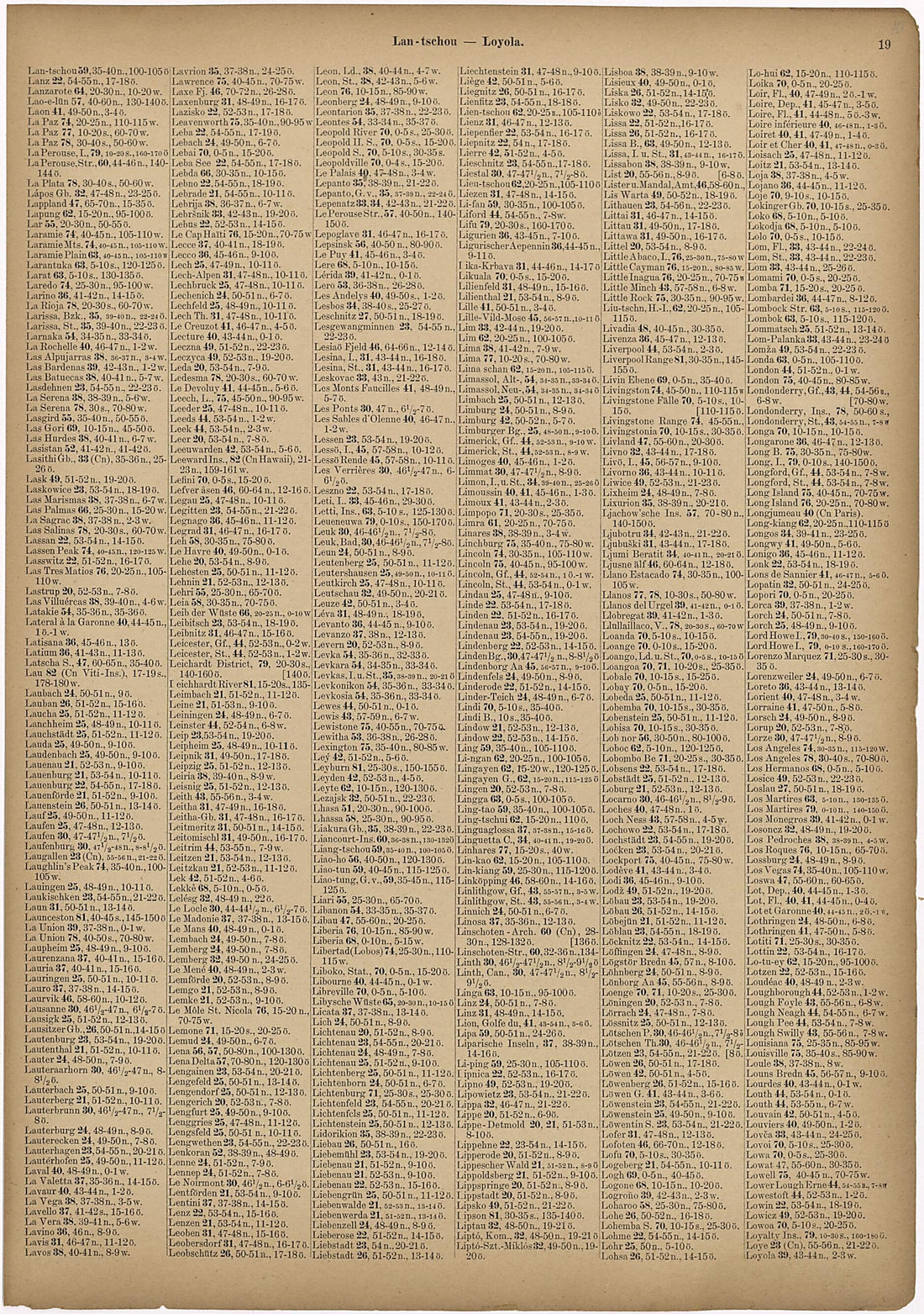 Lan - Tschon - Loyola from Neuer Grosser Hand-Atlas 1894Lan - Tschon - Loyola from Neuer Grosser Hand-Atlas 1894
- Regular price
-
$39.95 $99.95 - Regular price
-
$29.95 - Sale price
-
$39.95 $99.95
-
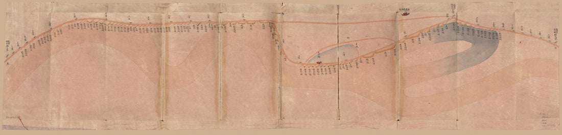 Lan, Yi, Sui San Ting Guangxu Er Nian Fen He Dao Qi Zhi Li Shu Gong Cheng Duan Luo Zhang Chi Zong He Tu (蘭,儀,睢三廳光绪二年分河道起止里數工程段落丈尺总河圖, Map of the Southern Embankment of the Yellow River In Henan Provinc...Lan, Yi, Sui San Ting Guangxu Er Nian Fen He Dao Qi Zhi Li Shu Gong Cheng Duan Luo Zhang Chi Zong He Tu (蘭,儀,睢三廳光绪二年分河道起止里數工程段落丈尺总河圖, Map of the Southern Embankment of the Yellow River In Henan Provinc...
- Regular price
-
$46.95 $99.95 - Regular price
-
$41.95 - Sale price
-
$46.95 $99.95
-
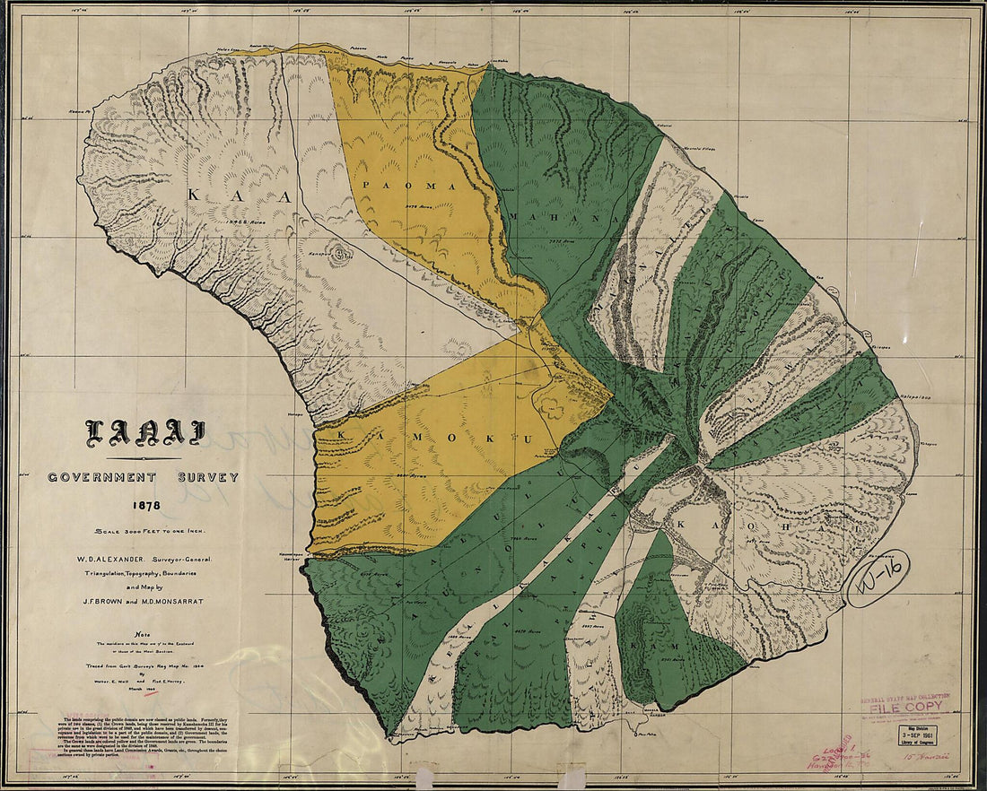 Lanai 1900Lanai 1900
- Regular price
-
$39.95 $210.95 - Regular price
-
$34.95 - Sale price
-
$39.95 $210.95
-
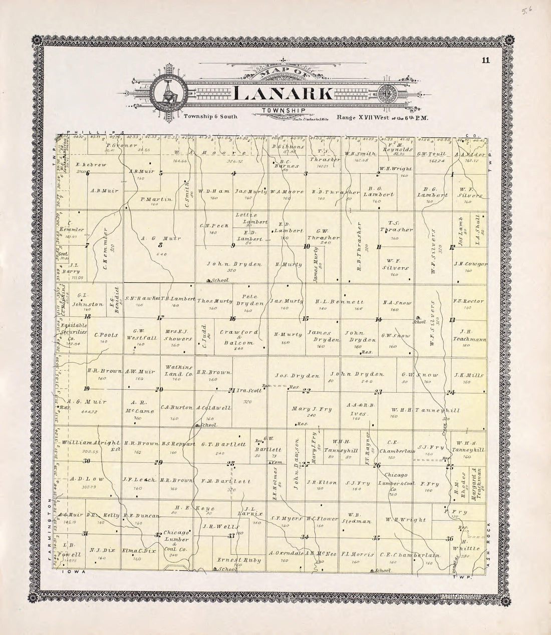 Lanark from Standard Atlas of Rooks County, Kansas 1904Lanark from Standard Atlas of Rooks County, Kansas 1904
- Regular price
-
$39.95 $120.95 - Regular price
-
$31.95 - Sale price
-
$39.95 $120.95
-
 Lanark from Standard Atlas of Rooks County, Kansas : Including a Plat Book of the Villages, Cities and Townships of the County, Map of the State, United States and World, Patrons Directory, Reference Business … 1904Lanark from Standard Atlas of Rooks County, Kansas : Including a Plat Book of the Villages, Cities and Townships of the County, Map of the State, United States and World, Patrons Directory, Reference Business … 1904
- Regular price
-
$39.95 $83.95 - Regular price
-
$11.95 - Sale price
-
$39.95 $83.95
-
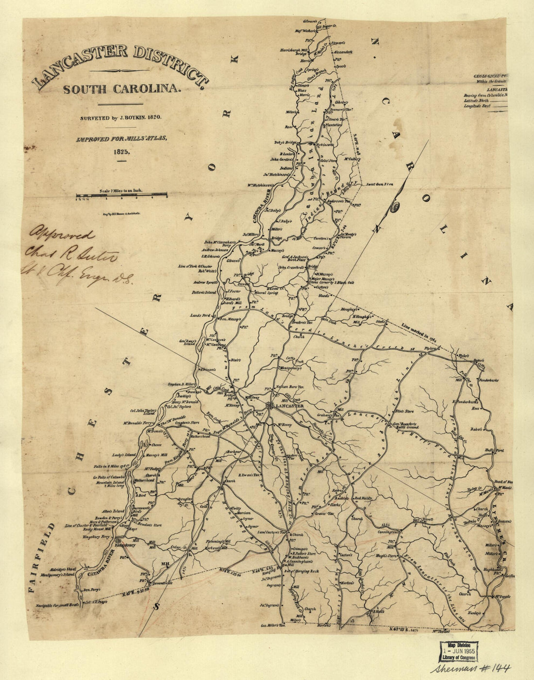 Lancaster District, South Carolina in 1820Lancaster District, South Carolina in 1820
- Regular price
-
$43.95 $83.95 - Regular price
-
$38.95 - Sale price
-
$43.95 $83.95
-
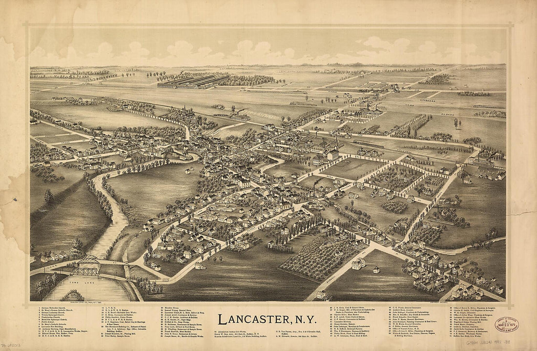 Lancaster, New York 1892Lancaster, New York 1892
- Regular price
-
$46.95 $152.95 - Regular price
-
$41.95 - Sale price
-
$46.95 $152.95


