42 products
-
Map of Onondaga County, New York : Showing Military Townships and Their Names, Lot Lines, Numbers, and Dimensions, With Names of First Proprietors ... Location of Farm Houses and Names of Owners, and Separate Plans of the City of Syracuse and All the ...
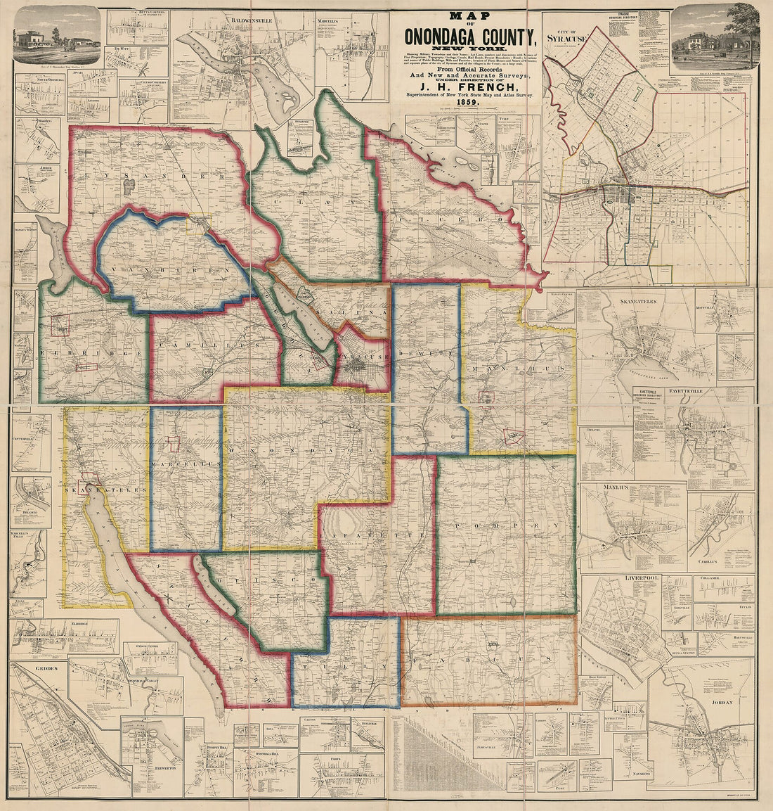 Map of Onondaga County, New York : Showing Military Townships and Their Names, Lot Lines, Numbers, and Dimensions, With Names of First Proprietors ... Location of Farm Houses and Names of Owners, and Separate Plans of the City of Syracuse and All the ...
- Regular price
-
$34.95 $273.95 - Regular price
-
$34.95 - Sale price
-
$34.95 $273.95
-
Attakapa Region Land Grants, Louisiana. (Louisiane, Attacapa, Louisiane, District Attacapa, Plan D'une Partie Du Vermillon, District Attacapa, Plan D'une Partie Du Vermillion, District Attacapas, Plan D'une Partie Du Vermillon, Plan D'une Partie Du Di...
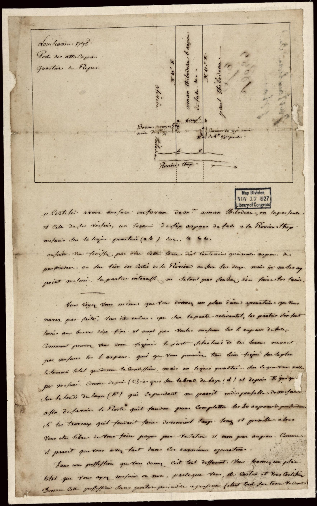 Attakapa Region Land Grants, Louisiana. (Louisiane, Attacapa, Louisiane, District Attacapa, Plan D'une Partie Du Vermillon, District Attacapa, Plan D'une Partie Du Vermillion, District Attacapas, Plan D'une Partie Du Vermillon, Plan D'une Partie Du Di...
- Regular price
-
$34.95 $94.95 - Regular price
-
$34.95 - Sale price
-
$34.95 $94.95
-
Map of Public Surveys In California & Nevada : to Accompany Report of Commissioner of the General Land Office, 1866
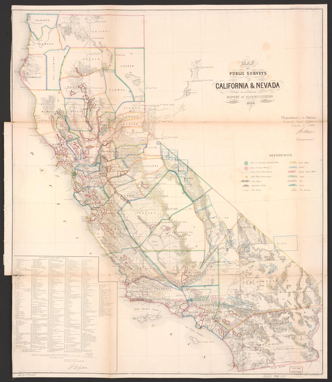 Map of Public Surveys In California & Nevada : to Accompany Report of Commissioner of the General Land Office, 1866
- Regular price
-
$38.95 $122.95 - Regular price
-
$38.95 - Sale price
-
$38.95 $122.95
-
Map of the Patent of Oriskany 1785
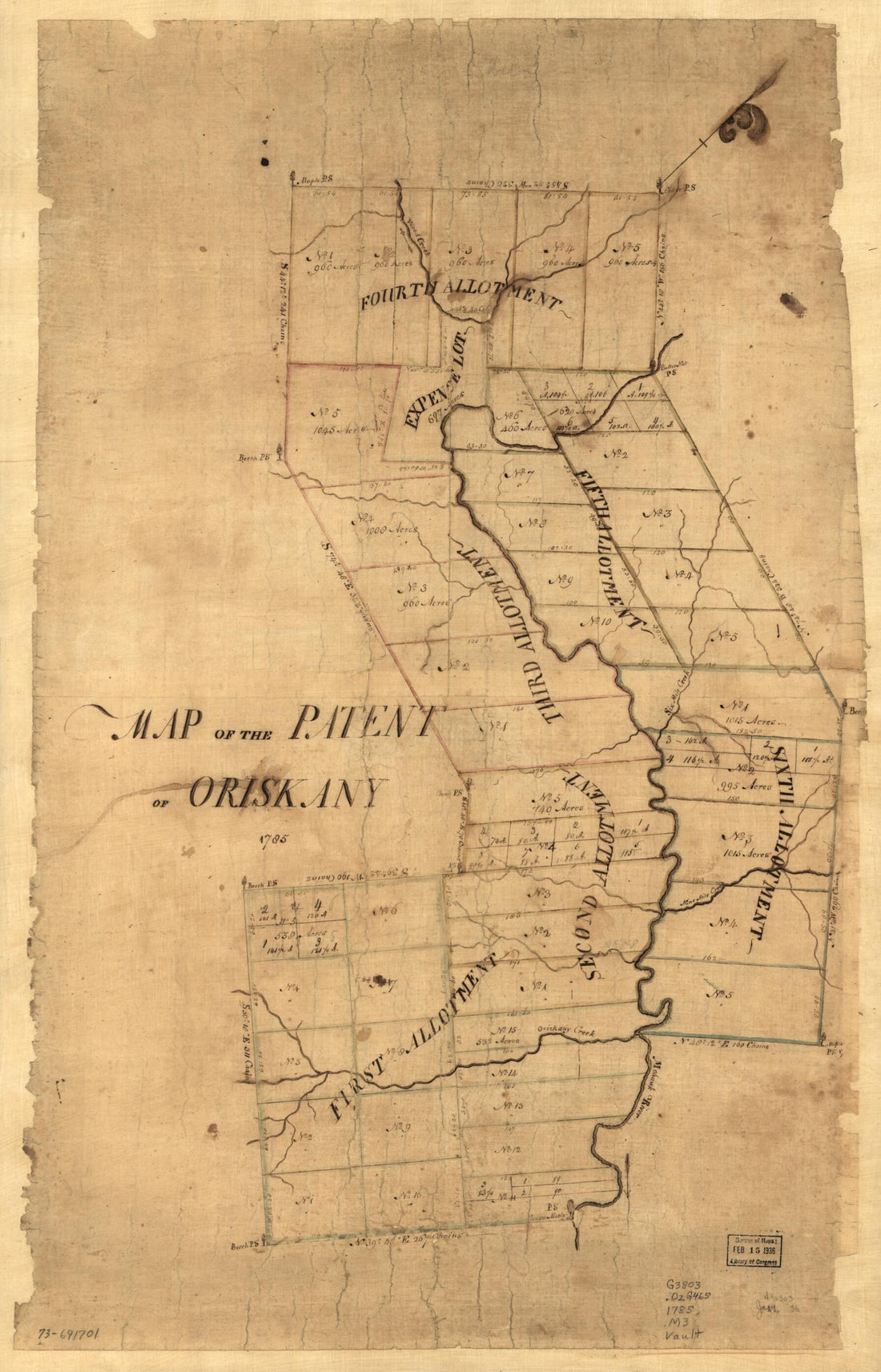 Map of the Patent of Oriskany 1785
- Regular price
-
$41.95 $94.95 - Regular price
-
$41.95 - Sale price
-
$41.95 $94.95
-
Plat of a Survey of 2,314 Acres of Land, Being the First Large Bottom On the East Side of the Ohio River, 3 Or 4 Miles Below the Mouth, a Portion of Which Is Divided Into 17 Lots 1771
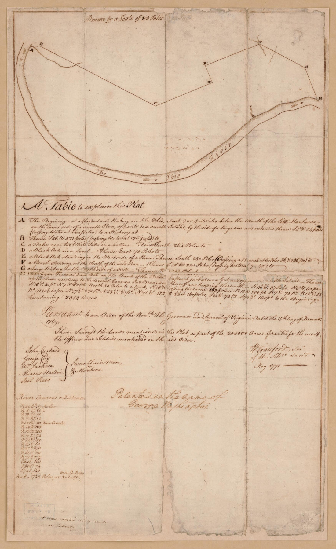 Plat of a Survey of 2,314 Acres of Land, Being the First Large Bottom On the East Side of the Ohio River, 3 Or 4 Miles Below the Mouth, a Portion of Which Is Divided Into 17 Lots 1771
- Regular price
-
$36.95 $94.95 - Regular price
-
$36.95 - Sale price
-
$36.95 $94.95
-
18th Century Map Including the Headwaters of the Big Cole River 03-30
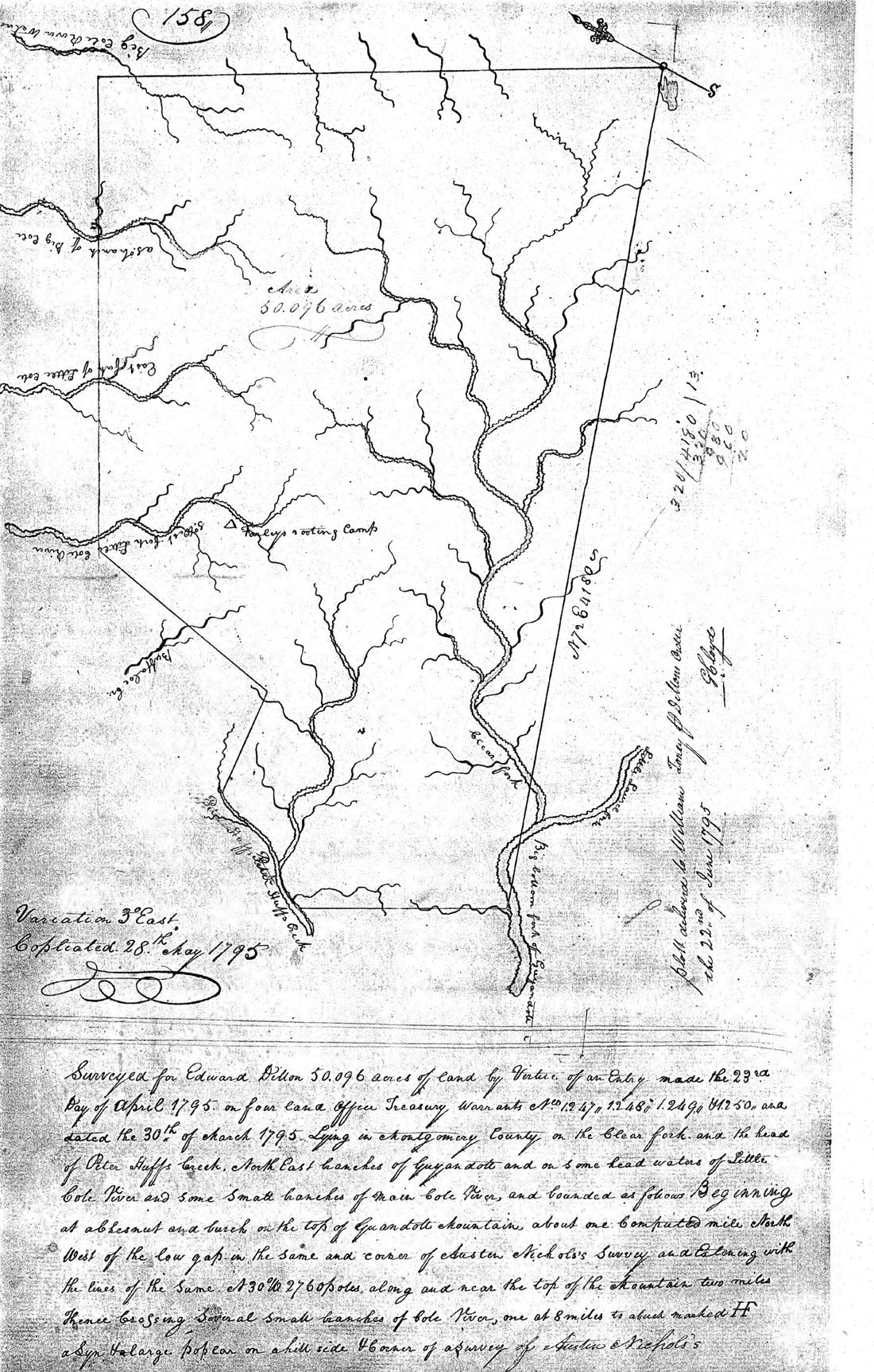 18th Century Map Including the Headwaters of the Big Cole River 03-30
- Regular price
-
$34.95 $94.95 - Regular price
-
$34.95 - Sale price
-
$34.95 $94.95
-
Map of the County of Cameron, Texas in 1884
 Map of the County of Cameron, Texas in 1884
- Regular price
-
$41.95 $186.95 - Regular price
-
$41.95 - Sale price
-
$41.95 $186.95
-
Topographical Map of Jersey City, Hoboken, and the Adjacent Country : Describing Minutely the Courses of Rivers and Brooks, the Township and Original Patent Lines, Railways, Turnpike, Carriage and Bridle Roads, the Present Farm Boundaries With the Nam...
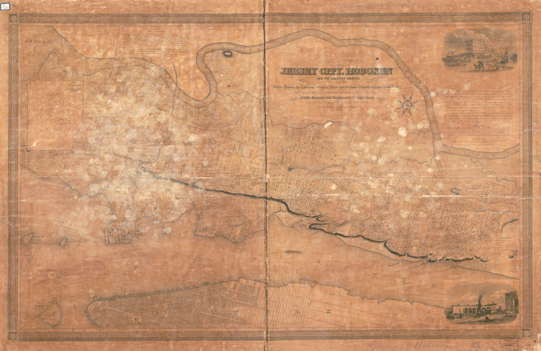 Topographical Map of Jersey City, Hoboken, and the Adjacent Country : Describing Minutely the Courses of Rivers and Brooks, the Township and Original Patent Lines, Railways, Turnpike, Carriage and Bridle Roads, the Present Farm Boundaries With the Nam...
- Regular price
-
$41.95 $187.95 - Regular price
-
$41.95 - Sale price
-
$41.95 $187.95
-
Map of Las Ormigas Grant, Sabine and DeSoto Parishes, Louisiana 1800
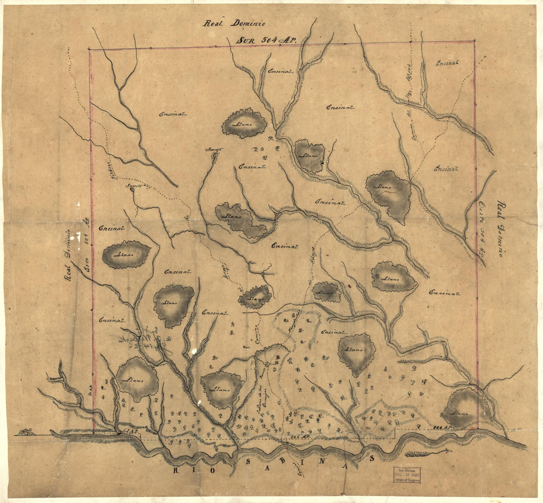 Map of Las Ormigas Grant, Sabine and DeSoto Parishes, Louisiana 1800
- Regular price
-
$38.95 $78.95 - Regular price
-
$38.95 - Sale price
-
$38.95 $78.95
-
Map of the County of Monterey,California in 1877
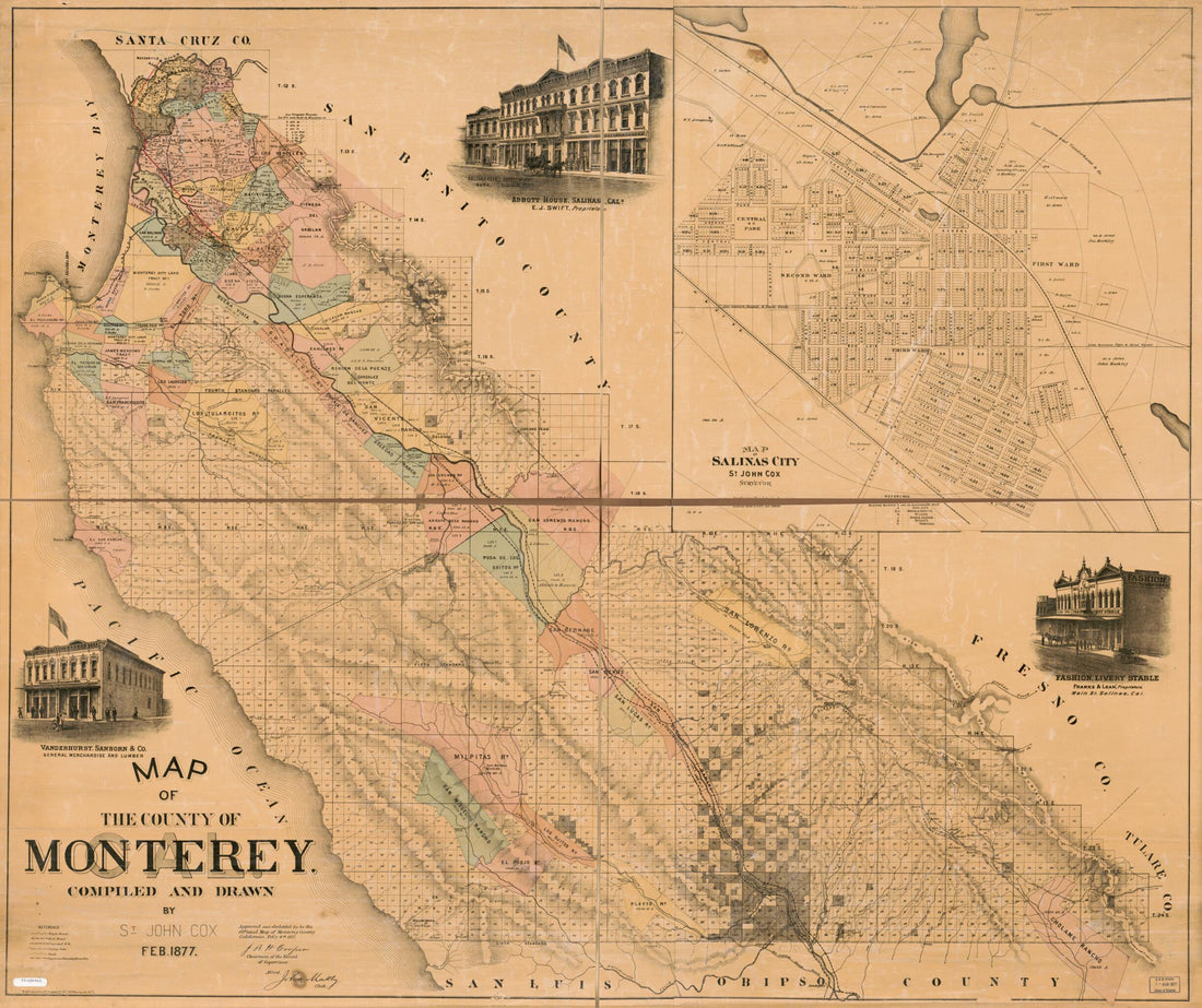 Map of the County of Monterey,California in 1877
- Regular price
-
$38.95 $201.95 - Regular price
-
$38.95 - Sale price
-
$38.95 $201.95
-
A Map of Wayne & Pike Counties, Pennsylvania : Shewing the Situations & Forms of the Warrantee Tracts, With the Numbers by Which the Respective Tracts Are Distinguished In the Maps & Books In the Office of the Commissioners of Places for Wayne County,...
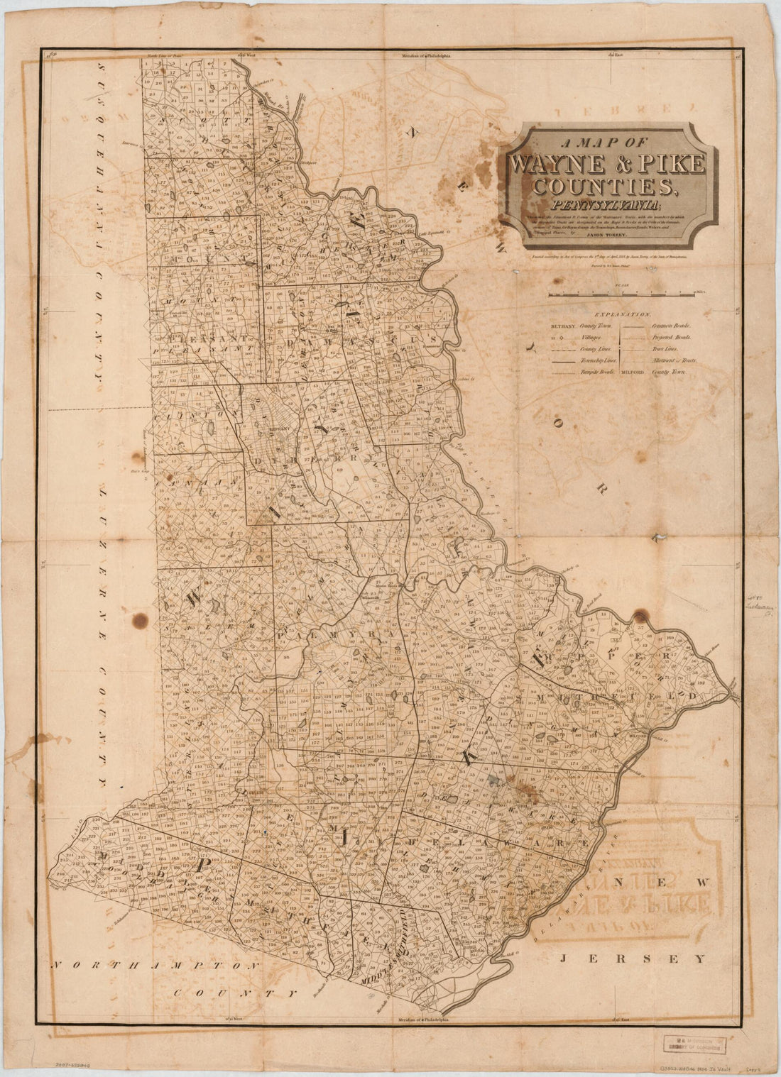 A Map of Wayne & Pike Counties, Pennsylvania : Shewing the Situations & Forms of the Warrantee Tracts, With the Numbers by Which the Respective Tracts Are Distinguished In the Maps & Books In the Office of the Commissioners of Places for Wayne County,...
- Regular price
-
$38.95 $83.95 - Regular price
-
$32.95 - Sale price
-
$38.95 $83.95
-
A Plan of Part of the Rivers Tombecbe, Alabama, Tensa, Perdido, & Scambia In the Province of West Florida; With a Sketch of the Boundary Between the Nation of Upper Creek Indians and That Part of the Province Which Is Contigious Thereto, As Settled at...
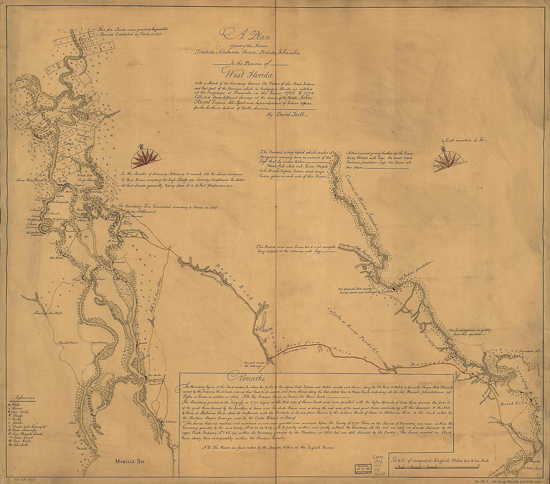 A Plan of Part of the Rivers Tombecbe, Alabama, Tensa, Perdido, & Scambia In the Province of West Florida; With a Sketch of the Boundary Between the Nation of Upper Creek Indians and That Part of the Province Which Is Contigious Thereto, As Settled at...
- Regular price
-
$34.95 $147.95 - Regular price
-
$34.95 - Sale price
-
$34.95 $147.95


