599 products
-
CA Drawer 181, Folder 01, Item 01 from Maps of California--counties San Bernardino to 1937 1853
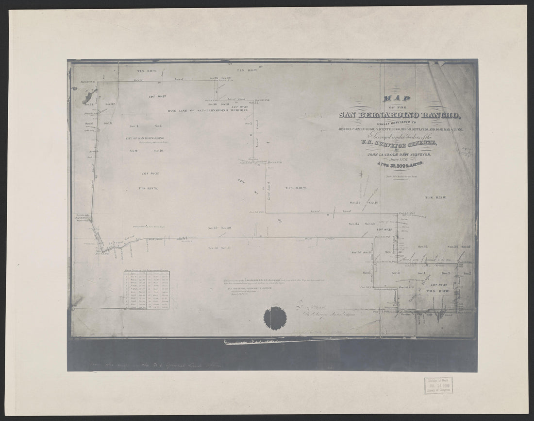 CA Drawer 181, Folder 01, Item 01 from Maps of California--counties San Bernardino to 1937 1853
- Regular price
-
From
$34.95 - Regular price
-
$36.95 - Sale price
-
From
$34.95
-
CA Drawer 181, Folder 06, Item 02 (Part 04) from Maps of California--counties San Bernardino to 1937 1853
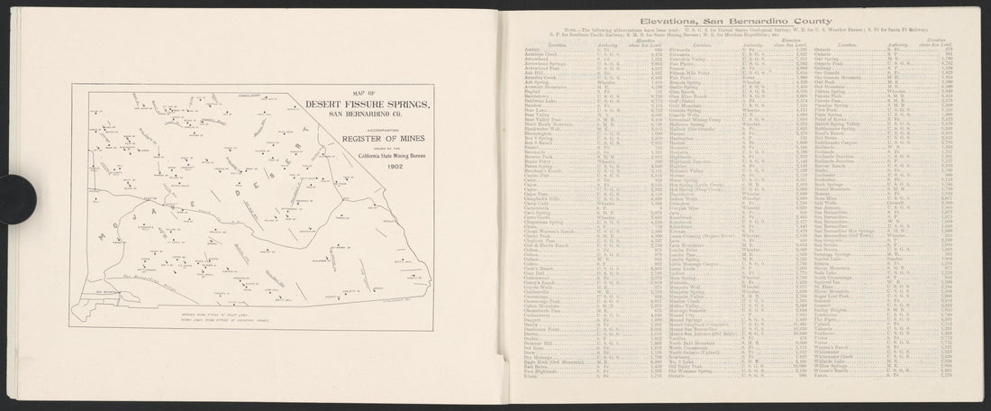 CA Drawer 181, Folder 06, Item 02 (Part 04) from Maps of California--counties San Bernardino to 1937 1853
- Regular price
-
From
$34.95 - Regular price
-
$36.95 - Sale price
-
From
$34.95
-
CA Drawer 181, Folder 06, Item 01 from Maps of California--counties San Bernardino to 1937 1853
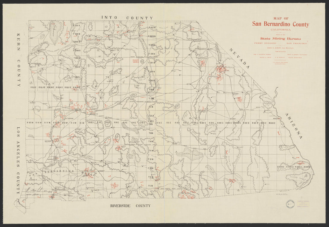 CA Drawer 181, Folder 06, Item 01 from Maps of California--counties San Bernardino to 1937 1853
- Regular price
-
From
$34.95 - Regular price
-
$36.95 - Sale price
-
From
$34.95
-
CA Drawer 181, Folder 06, Item 02 (Part 07) from Maps of California--counties San Bernardino to 1937 1853
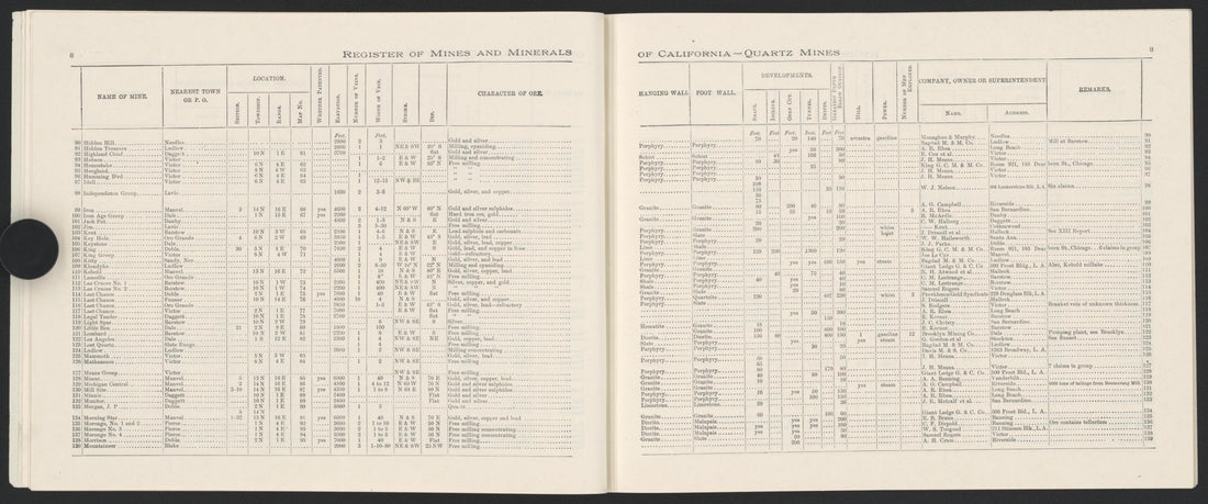 CA Drawer 181, Folder 06, Item 02 (Part 07) from Maps of California--counties San Bernardino to 1937 1853
- Regular price
-
From
$34.95 - Regular price
-
$36.95 - Sale price
-
From
$34.95
-
CA Drawer 181, Folder 10, Item 01 from Maps of California--counties San Bernardino to 1937 1853
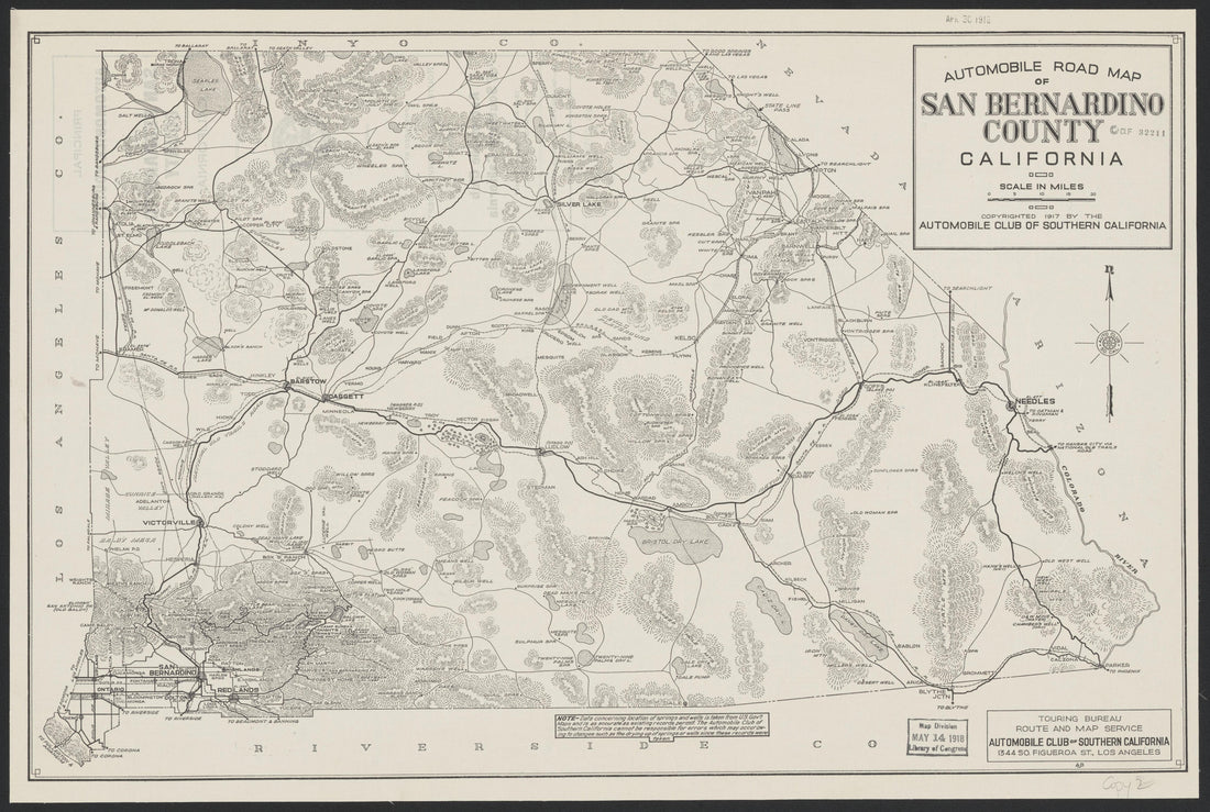 CA Drawer 181, Folder 10, Item 01 from Maps of California--counties San Bernardino to 1937 1853
- Regular price
-
From
$34.95 - Regular price
-
$36.95 - Sale price
-
From
$34.95
-
CA Drawer 181, Folder 06, Item 02 (Part 05) from Maps of California--counties San Bernardino to 1937 1853
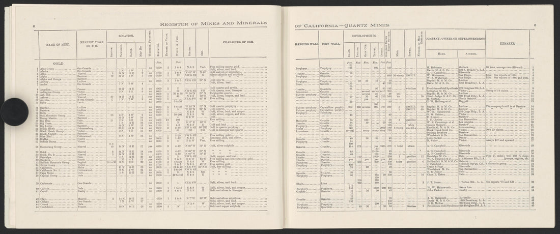 CA Drawer 181, Folder 06, Item 02 (Part 05) from Maps of California--counties San Bernardino to 1937 1853
- Regular price
-
From
$34.95 - Regular price
-
$36.95 - Sale price
-
From
$34.95
-
CA Drawer 181, Folder 08, Item 01 (Back) from Maps of California--counties San Bernardino to 1937 1853
 CA Drawer 181, Folder 08, Item 01 (Back) from Maps of California--counties San Bernardino to 1937 1853
- Regular price
-
From
$34.95 - Regular price
-
$36.95 - Sale price
-
From
$34.95
-
CA Drawer 181, Folder 06, Item 02 (Part 03) from Maps of California--counties San Bernardino to 1937 1853
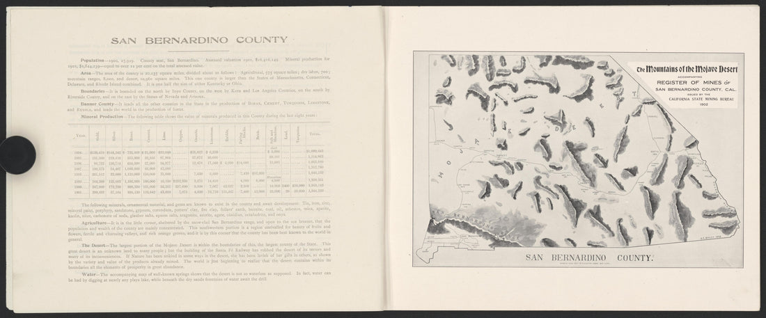 CA Drawer 181, Folder 06, Item 02 (Part 03) from Maps of California--counties San Bernardino to 1937 1853
- Regular price
-
From
$34.95 - Regular price
-
$36.95 - Sale price
-
From
$34.95
-
CA Drawer 181, Folder 05, Item 01 (Back) from Maps of California--counties San Bernardino to 1937 1853
 CA Drawer 181, Folder 05, Item 01 (Back) from Maps of California--counties San Bernardino to 1937 1853
- Regular price
-
From
$34.95 - Regular price
-
$36.95 - Sale price
-
From
$34.95
-
CA Drawer 181, Folder 07, Item 01 (Front) from Maps of California--counties San Bernardino to 1937 1853
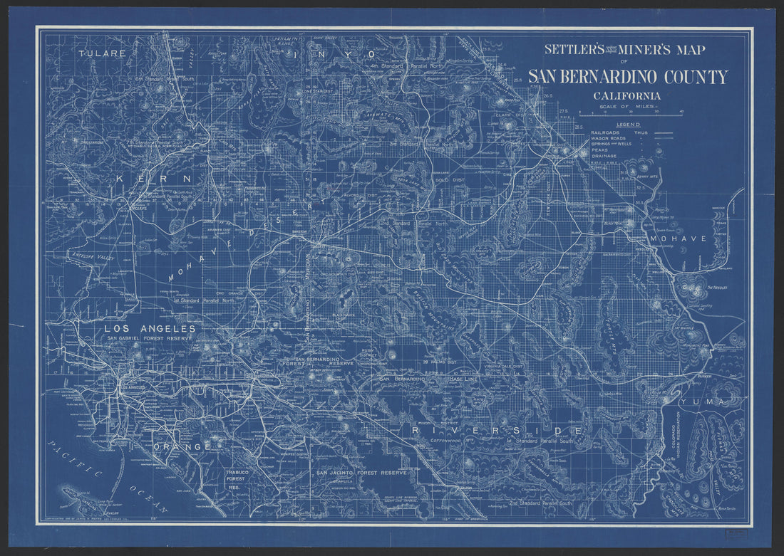 CA Drawer 181, Folder 07, Item 01 (Front) from Maps of California--counties San Bernardino to 1937 1853
- Regular price
-
From
$34.95 - Regular price
-
$36.95 - Sale price
-
From
$34.95
-
CA Drawer 181, Folder 06, Item 02 (Part 02) from Maps of California--counties San Bernardino to 1937 1853
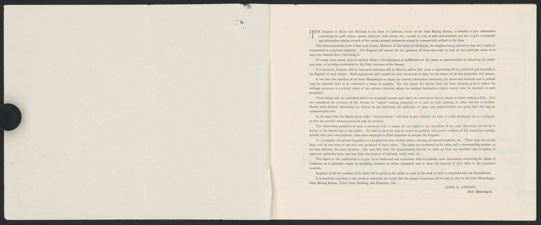 CA Drawer 181, Folder 06, Item 02 (Part 02) from Maps of California--counties San Bernardino to 1937 1853
- Regular price
-
From
$34.95 - Regular price
-
$36.95 - Sale price
-
From
$34.95
-
CA Drawer 181, Folder 06, Item 02 (Part 01) from Maps of California--counties San Bernardino to 1937 1853
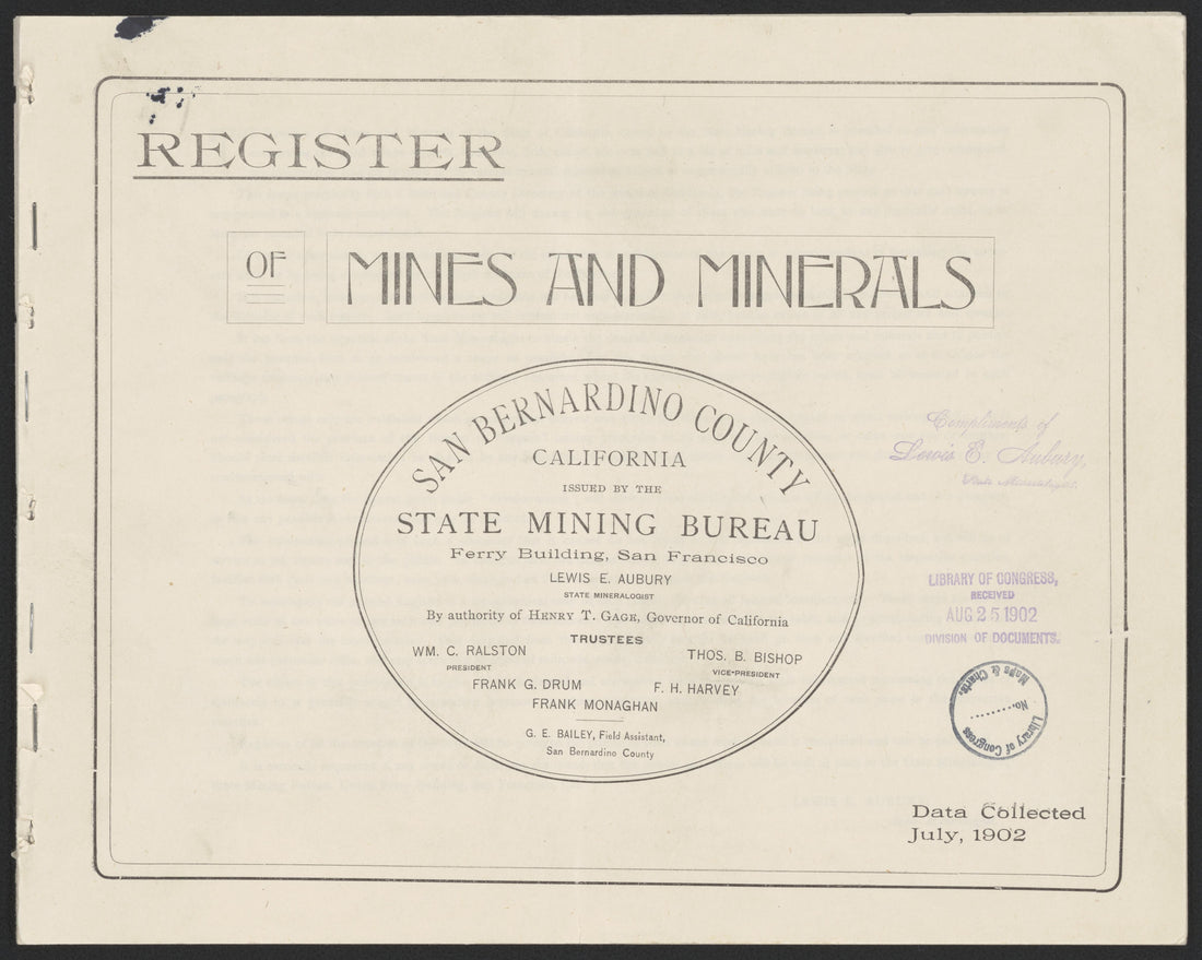 CA Drawer 181, Folder 06, Item 02 (Part 01) from Maps of California--counties San Bernardino to 1937 1853
- Regular price
-
$34.95 $78.95 - Regular price
-
$33.95 - Sale price
-
$34.95 $78.95


