135 products
-
 Map of the Canals and Railroads for Transporting Anthracite Coal from the Several Coal Fields to the City of New York; Drawn Under the Direction of J. Dutton Steele, C.E. by W. Lorenz, Asst. Eng. 1856Map of the Canals and Railroads for Transporting Anthracite Coal from the Several Coal Fields to the City of New York; Drawn Under the Direction of J. Dutton Steele, C.E. by W. Lorenz, Asst. Eng. 1856
- Regular price
-
$54.95 $146.95 - Regular price
-
$38.95 - Sale price
-
$54.95 $146.95
-
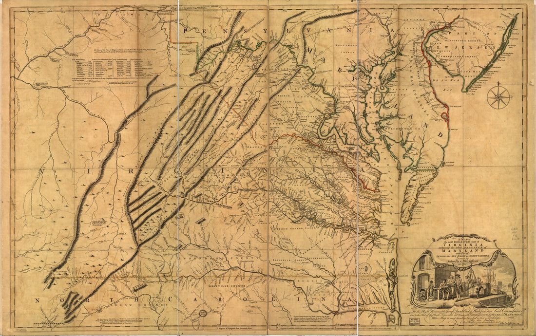 A Map of the Most Inhabited Part of Virginia Containing the Whole Province of Maryland With Part of Pensilvania, New Jersey and North Carolina 1755A Map of the Most Inhabited Part of Virginia Containing the Whole Province of Maryland With Part of Pensilvania, New Jersey and North Carolina 1755
- Regular price
-
$58.95 $165.95 - Regular price
-
$41.95 - Sale price
-
$58.95 $165.95
-
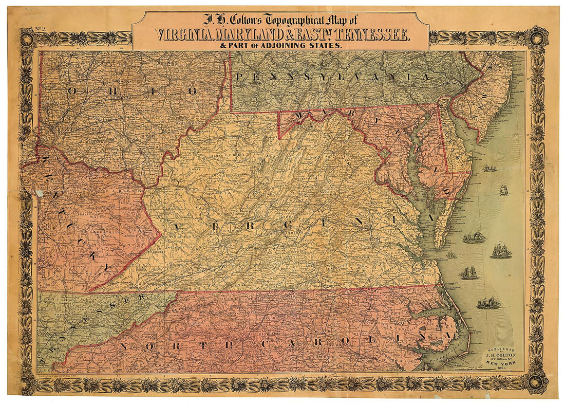 J.H. Colton's Topographical Map of Virginia, Maryland & Eastn. Tennessee : & Part of Adjoining States. (Topographical Map of Virginia, Maryland & Eastn. Tennessee) 1861J.H. Colton's Topographical Map of Virginia, Maryland & Eastn. Tennessee : & Part of Adjoining States. (Topographical Map of Virginia, Maryland & Eastn. Tennessee) 1861
- Regular price
-
$51.95 $135.95 - Regular price
-
$32.95 - Sale price
-
$51.95 $135.95
-
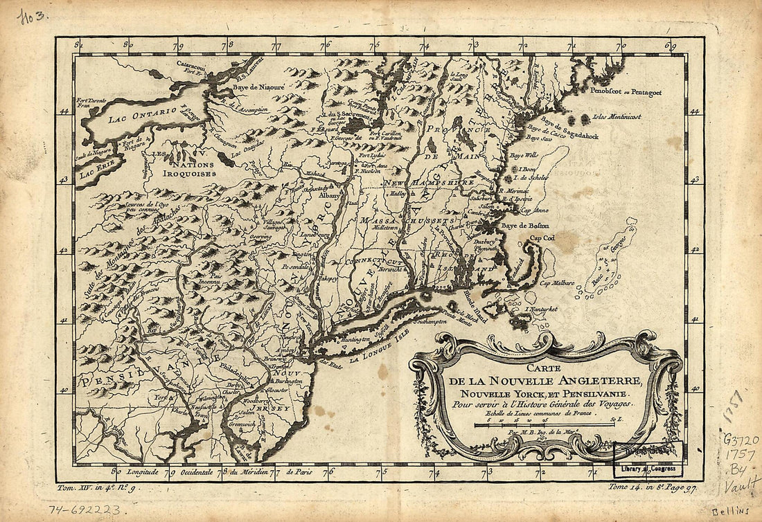 Carte De La Nouvelle Angleterre, Nouvelle Yorck, Et Pensilvanie : Pour Servir à L'histoire Générale Des Voyages 1757Carte De La Nouvelle Angleterre, Nouvelle Yorck, Et Pensilvanie : Pour Servir à L'histoire Générale Des Voyages 1757
- Regular price
-
$49.95 $99.95 - Regular price
-
$31.95 - Sale price
-
$49.95 $99.95
-
 Map of Virginia, Maryland and Delaware Exhibiting the Post Offices, Post Roads, Canals, Rail Roads &c. (Delaware, Maryland, Virginia) 1839Map of Virginia, Maryland and Delaware Exhibiting the Post Offices, Post Roads, Canals, Rail Roads &c. (Delaware, Maryland, Virginia) 1839
- Regular price
-
$51.95 $196.95 - Regular price
-
$38.95 - Sale price
-
$51.95 $196.95
-
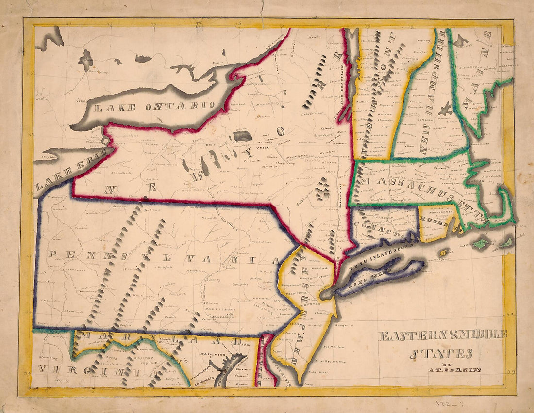 Eastern & Middle States (Eastern and Middle States) 1820Eastern & Middle States (Eastern and Middle States) 1820
- Regular price
-
$51.95 $96.95 - Regular price
-
$38.95 - Sale price
-
$51.95 $96.95
-
 Map of Virginia, Maryland and Delaware Exhibiting the Post Offices, Post Roads, Canals, Rail Roads &c. (Delaware, Maryland, Virginia) 1839Map of Virginia, Maryland and Delaware Exhibiting the Post Offices, Post Roads, Canals, Rail Roads &c. (Delaware, Maryland, Virginia) 1839
- Regular price
-
$51.95 $215.95 - Regular price
-
$38.95 - Sale price
-
$51.95 $215.95
-
 Eastern & Middle States (Eastern and Middle States) 1820Eastern & Middle States (Eastern and Middle States) 1820
- Regular price
-
$51.95 $88.95 - Regular price
-
$38.95 - Sale price
-
$51.95 $88.95
-
 Middle Atlantic States 1865Middle Atlantic States 1865
- Regular price
-
$51.95 $83.95 - Regular price
-
$38.95 - Sale price
-
$51.95 $83.95
-
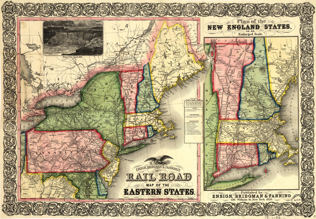 Ensign, Bridgman & Fanning's Rail Road Map of the Eastern States 1856Ensign, Bridgman & Fanning's Rail Road Map of the Eastern States 1856
- Regular price
-
$51.95 $99.95 - Regular price
-
$41.95 - Sale price
-
$51.95 $99.95
-
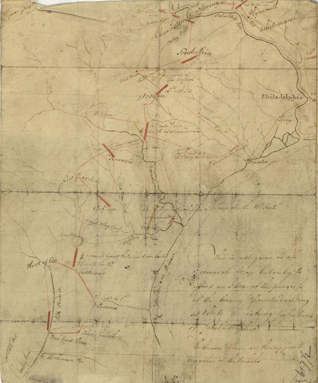 This Is Not Given As an Accurate Map, but Only to Afford an Idea of the Progress of the Army from the Landing at Elk to the Taking of Possession of Philadelphia. the Brown Lines Are the Supposed Marches of the Rebels 1777This Is Not Given As an Accurate Map, but Only to Afford an Idea of the Progress of the Army from the Landing at Elk to the Taking of Possession of Philadelphia. the Brown Lines Are the Supposed Marches of the Rebels 1777
- Regular price
-
$49.95 $83.95 - Regular price
-
$34.95 - Sale price
-
$49.95 $83.95
-
 Part of the United States In 1777 1910Part of the United States In 1777 1910
- Regular price
-
$49.95 $99.95 - Regular price
-
$34.95 - Sale price
-
$49.95 $99.95


