

150 products
-
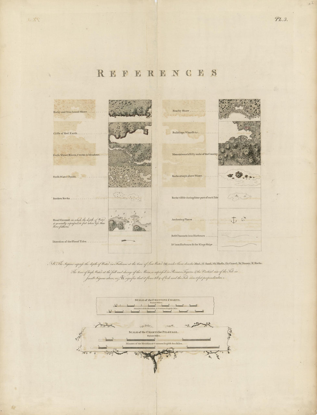 The Atlantic Neptune 1780The Atlantic Neptune 1780
- Regular price
-
$51.95 $88.95 - Regular price
-
$38.95 - Sale price
-
$51.95 $88.95
-
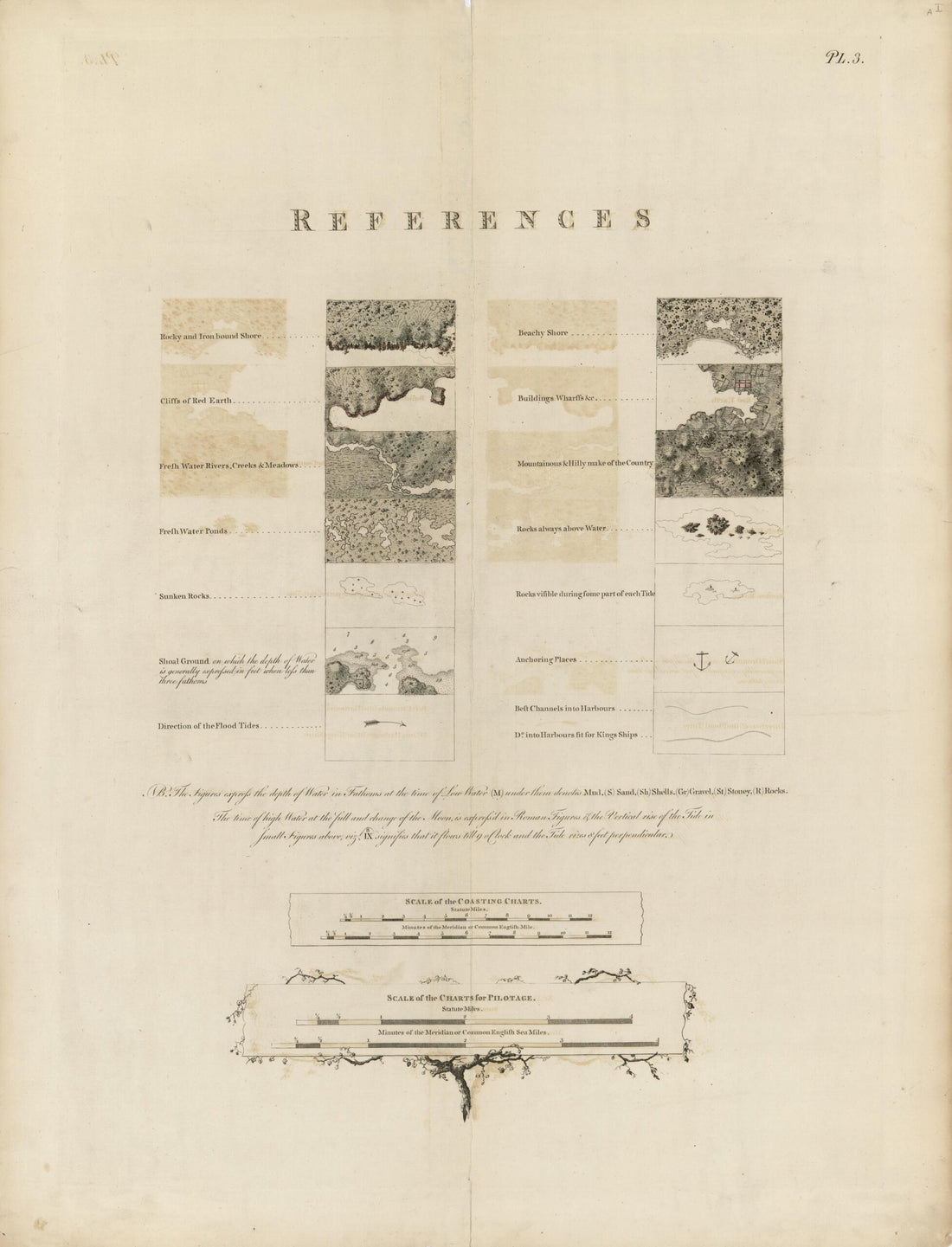 The Atlantic Neptune 1780The Atlantic Neptune 1780
- Regular price
-
$51.95 $90.95 - Regular price
-
$38.95 - Sale price
-
$51.95 $90.95
-
 The Atlantic Neptune, Published for the Use of the Royal Navy of Great Britain 1800The Atlantic Neptune, Published for the Use of the Royal Navy of Great Britain 1800
- Regular price
-
$51.95 $88.95 - Regular price
-
$38.95 - Sale price
-
$51.95 $88.95
-
 The Atlantic Neptune 1800The Atlantic Neptune 1800
- Regular price
-
$51.95 $88.95 - Regular price
-
$38.95 - Sale price
-
$51.95 $88.95
-
 The Atlantic Neptune 1800The Atlantic Neptune 1800
- Regular price
-
$51.95 $88.95 - Regular price
-
$38.95 - Sale price
-
$51.95 $88.95
-
 The Atlantic Neptune 1800The Atlantic Neptune 1800
- Regular price
-
$58.95 $99.95 - Regular price
-
$41.95 - Sale price
-
$58.95 $99.95
-
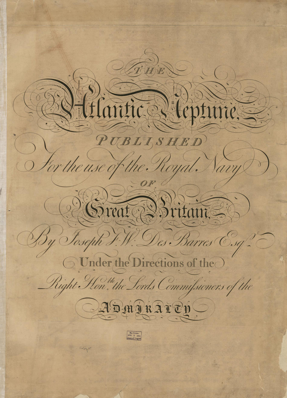 The Atlantic Neptune, Published for the Use of the Royal Navy of Great Britain 1780The Atlantic Neptune, Published for the Use of the Royal Navy of Great Britain 1780
- Regular price
-
$51.95 $88.95 - Regular price
-
$38.95 - Sale price
-
$51.95 $88.95
-
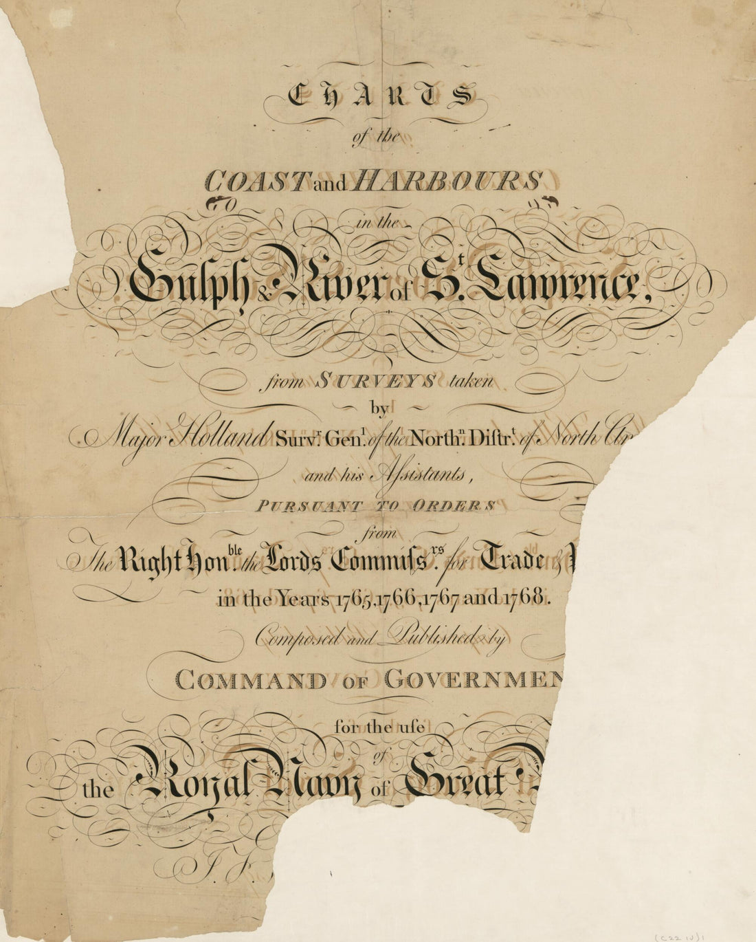 The Atlantic Neptune, Published for the Use of the Royal Navy of Great Britain 1780The Atlantic Neptune, Published for the Use of the Royal Navy of Great Britain 1780
- Regular price
-
$54.95 $83.95 - Regular price
-
$38.95 - Sale price
-
$54.95 $83.95
-
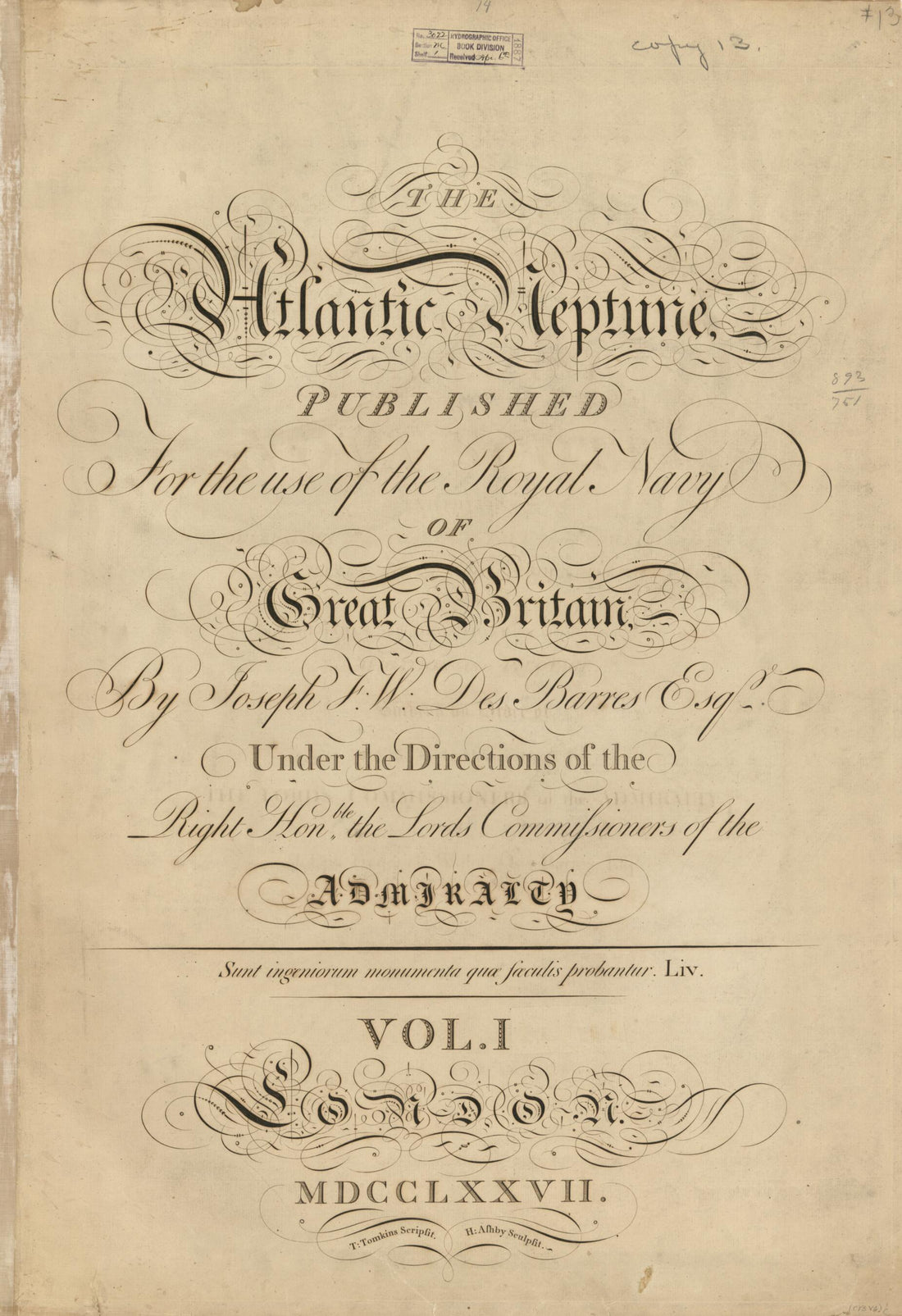 The Atlantic Neptune 1777The Atlantic Neptune 1777
- Regular price
-
$58.95 $99.95 - Regular price
-
$41.95 - Sale price
-
$58.95 $99.95
-
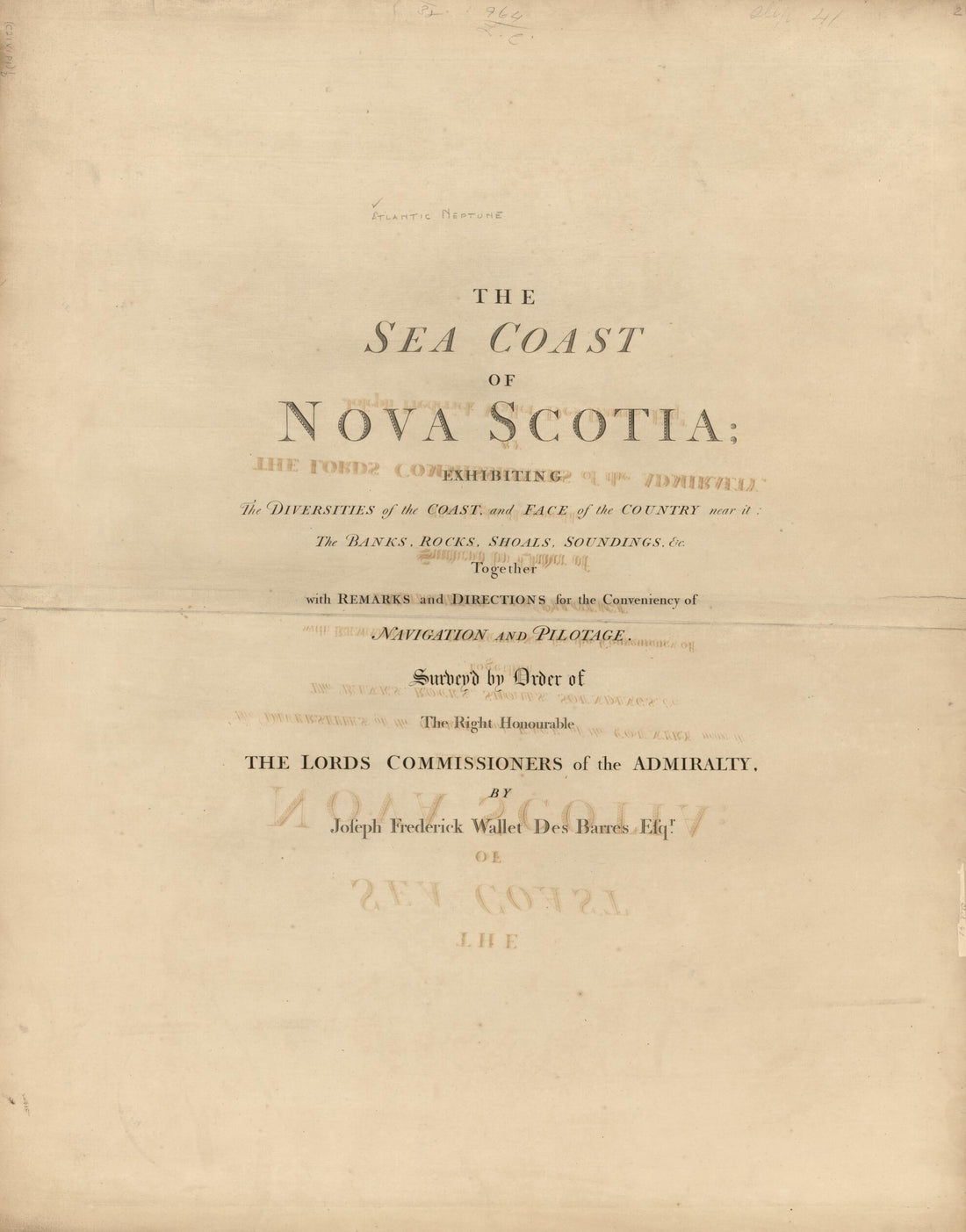 The Sea Coast of Nova Scotia; Exhibiting the Diversities of the Coast, and the Face of the Country Near It: the Banks, Rocks, Shoals, Soundings, &c. Together With Remarks and Directions for the Conveniency of Navigation and Pilotage 1777The Sea Coast of Nova Scotia; Exhibiting the Diversities of the Coast, and the Face of the Country Near It: the Banks, Rocks, Shoals, Soundings, &c. Together With Remarks and Directions for the Conveniency of Navigation and Pilotage 1777
- Regular price
-
$54.95 $83.95 - Regular price
-
$38.95 - Sale price
-
$54.95 $83.95
-
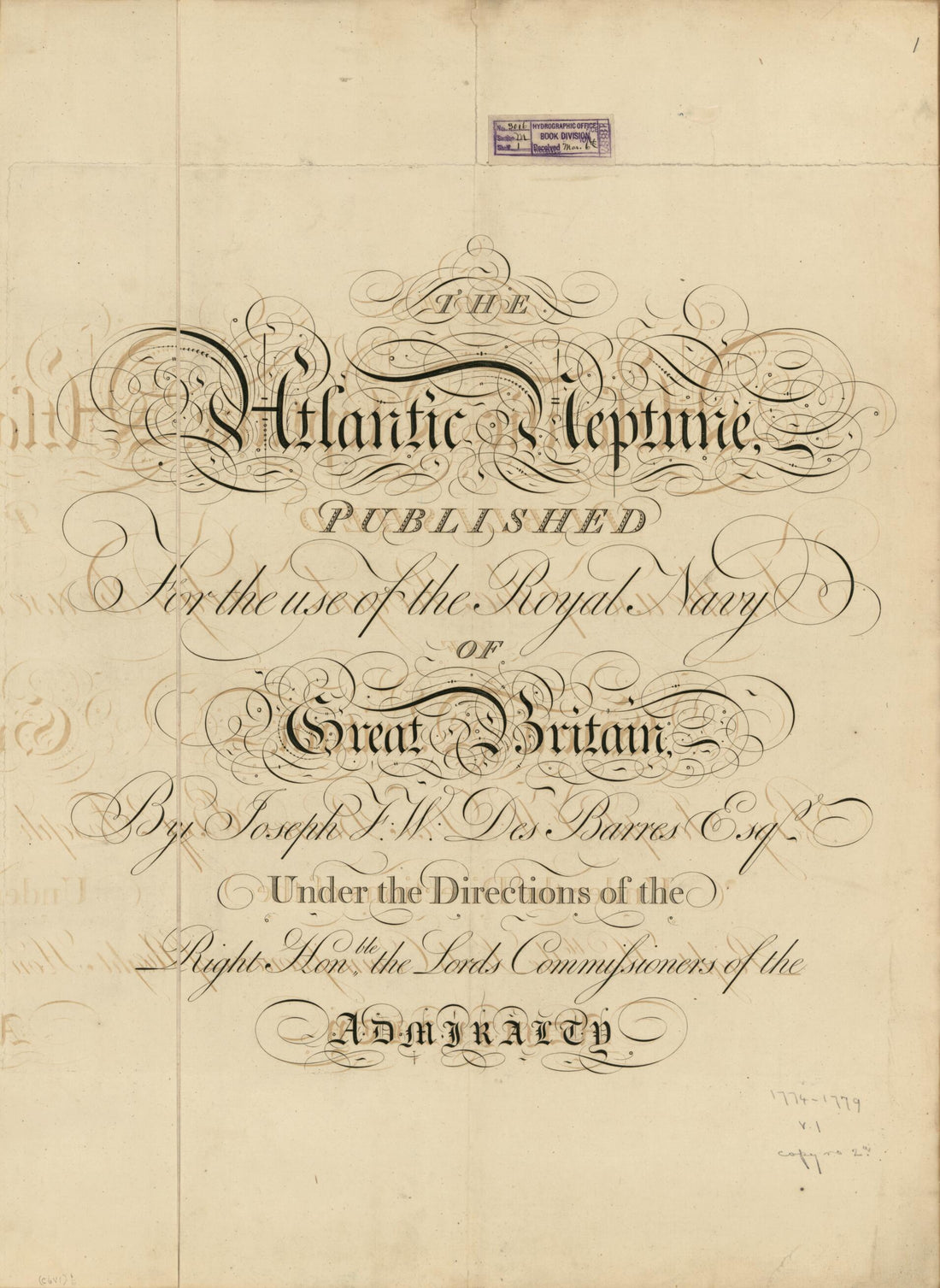 The Atlantic Neptune Published for the Use of the Royal Navy of Great Britain 1800The Atlantic Neptune Published for the Use of the Royal Navy of Great Britain 1800
- Regular price
-
$51.95 $88.95 - Regular price
-
$38.95 - Sale price
-
$51.95 $88.95
-
 The Atlantic Neptune 1800The Atlantic Neptune 1800
- Regular price
-
$58.95 $99.95 - Regular price
-
$41.95 - Sale price
-
$58.95 $99.95


