

23 products
-
 Karte Von Der Bay Chesapeack Und Den Benachbarten Landen Zur Allegemeinen Historie Der Reisen Aus Den Besten Englændischen Karten Gezogen 1758Karte Von Der Bay Chesapeack Und Den Benachbarten Landen Zur Allegemeinen Historie Der Reisen Aus Den Besten Englændischen Karten Gezogen 1758
- Regular price
-
$49.95 $88.95 - Regular price
-
$29.95 - Sale price
-
$49.95 $88.95
-
 План Харьковского наместничества городу Белополью in 1859План Харьковского наместничества городу Белополью in 1859
- Regular price
-
$54.95 $83.95 - Regular price
-
$38.95 - Sale price
-
$54.95 $83.95
-
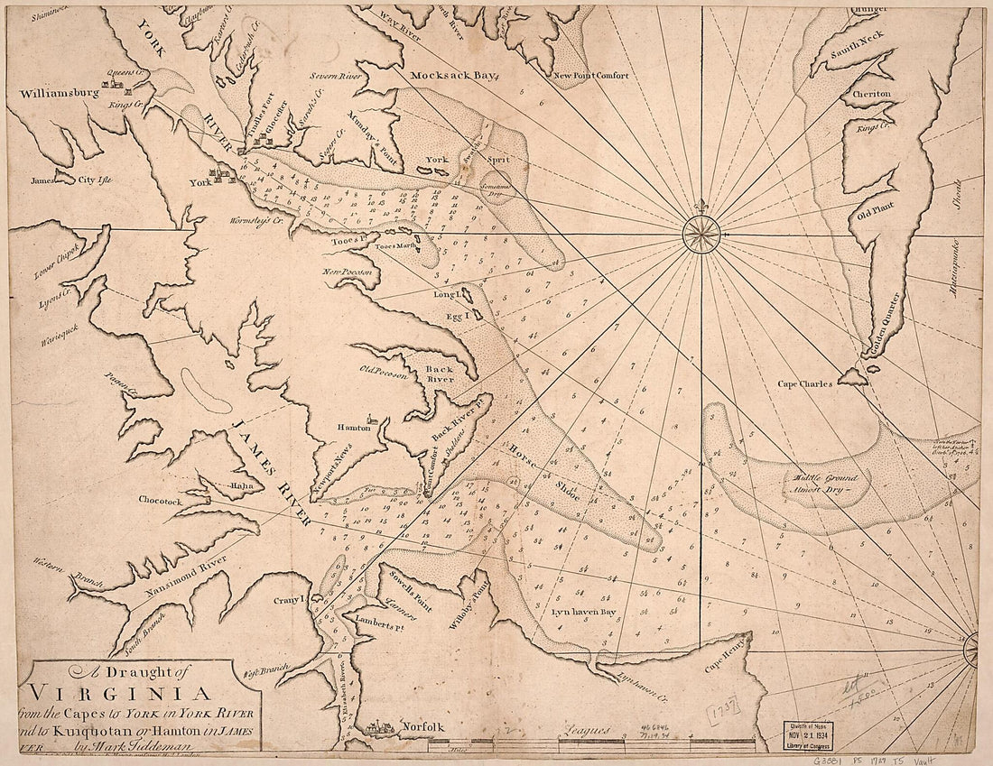 A Draught of Virginia from the Capes to York In York River and to Kuiquotan Or Hamton In James River 1737A Draught of Virginia from the Capes to York In York River and to Kuiquotan Or Hamton In James River 1737
- Regular price
-
$50.95 $98.95 - Regular price
-
$38.95 - Sale price
-
$50.95 $98.95
-
 A Draught of Virginia from the Capes to York In York River and to Kuiquotan Or Hamton In James River 1737A Draught of Virginia from the Capes to York In York River and to Kuiquotan Or Hamton In James River 1737
- Regular price
-
$50.95 $88.95 - Regular price
-
$38.95 - Sale price
-
$50.95 $88.95
-
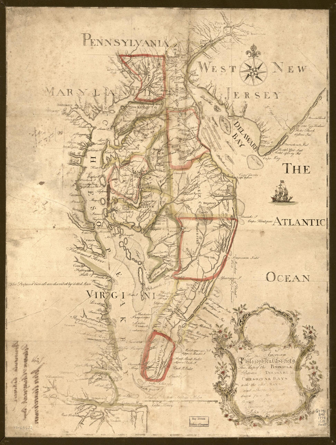 To the American Philosophical Society, This Map of the Peninsula Between Delaware & Chesopeak Bays, With the Said Bays and Shores Adjacent Drawn from the Most Accurate Surveys Is humbly Inscribed by John Churchman 1778To the American Philosophical Society, This Map of the Peninsula Between Delaware & Chesopeak Bays, With the Said Bays and Shores Adjacent Drawn from the Most Accurate Surveys Is humbly Inscribed by John Churchman 1778
- Regular price
-
$51.95 $88.95 - Regular price
-
$38.95 - Sale price
-
$51.95 $88.95
-
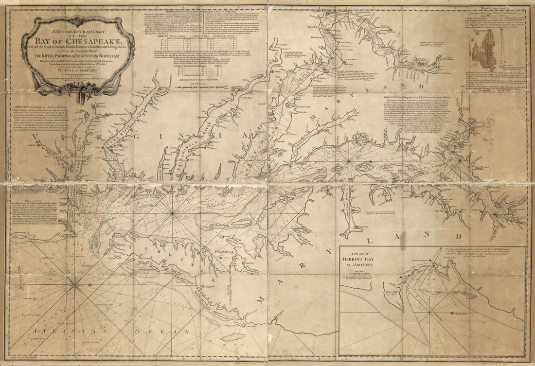 Marks, As Far As the Navigable Part of the Rivers Patowmack, Patapsco and North-east in 1776Marks, As Far As the Navigable Part of the Rivers Patowmack, Patapsco and North-east in 1776
- Regular price
-
$58.95 $210.95 - Regular price
-
$41.95 - Sale price
-
$58.95 $210.95
-
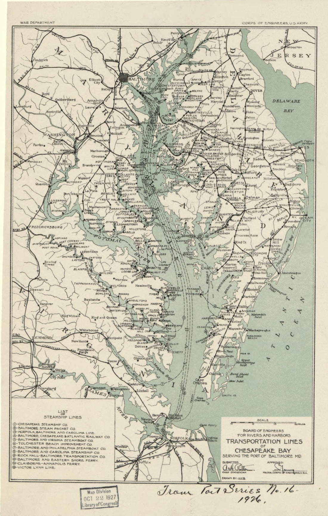 Transportation Lines of Chesapeake Bay Serving the Port of Baltimore MD in 1926Transportation Lines of Chesapeake Bay Serving the Port of Baltimore MD in 1926
- Regular price
-
$49.95 $99.95 - Regular price
-
$34.95 - Sale price
-
$49.95 $99.95
-
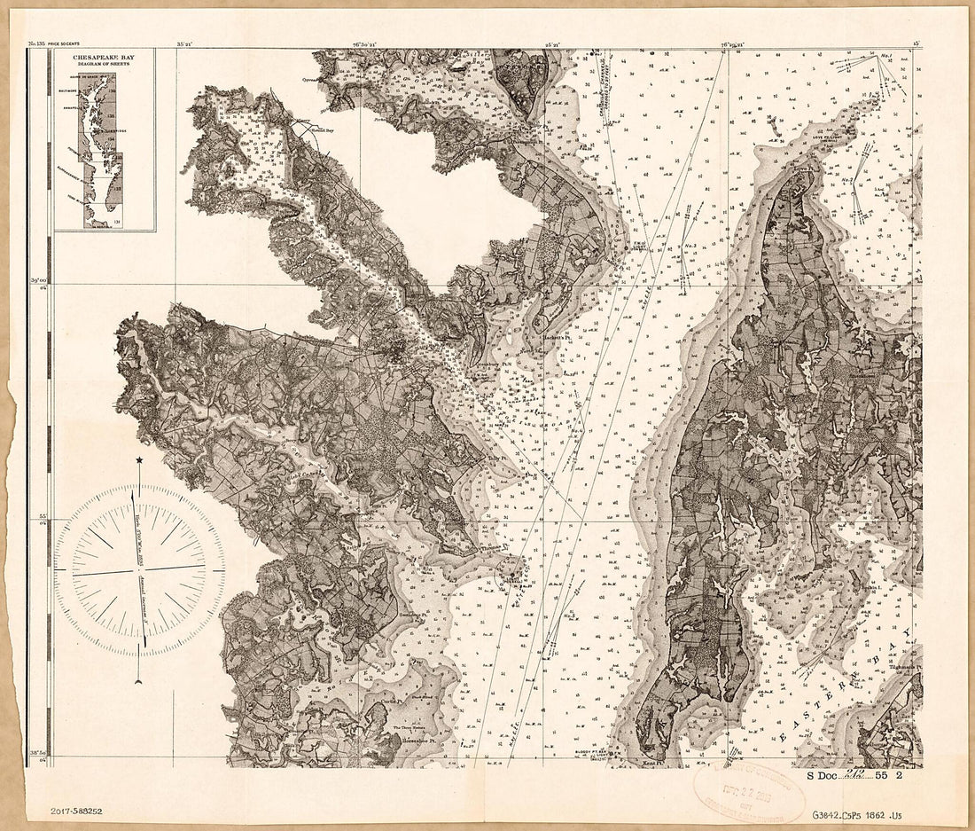
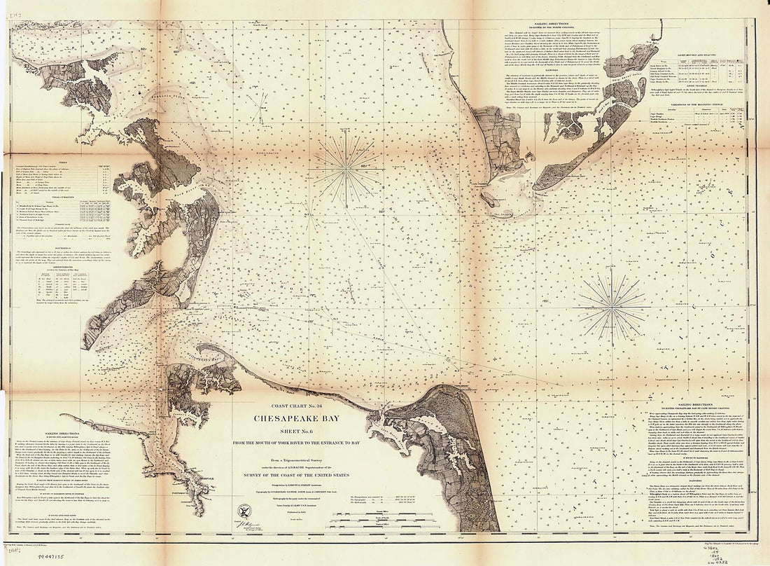 Chesapeake Bay. Sheet 6, from the Mouth of York River to the Entrance to Bay 1863Chesapeake Bay. Sheet 6, from the Mouth of York River to the Entrance to Bay 1863
- Regular price
-
$51.95 $157.95 - Regular price
-
$38.95 - Sale price
-
$51.95 $157.95
-
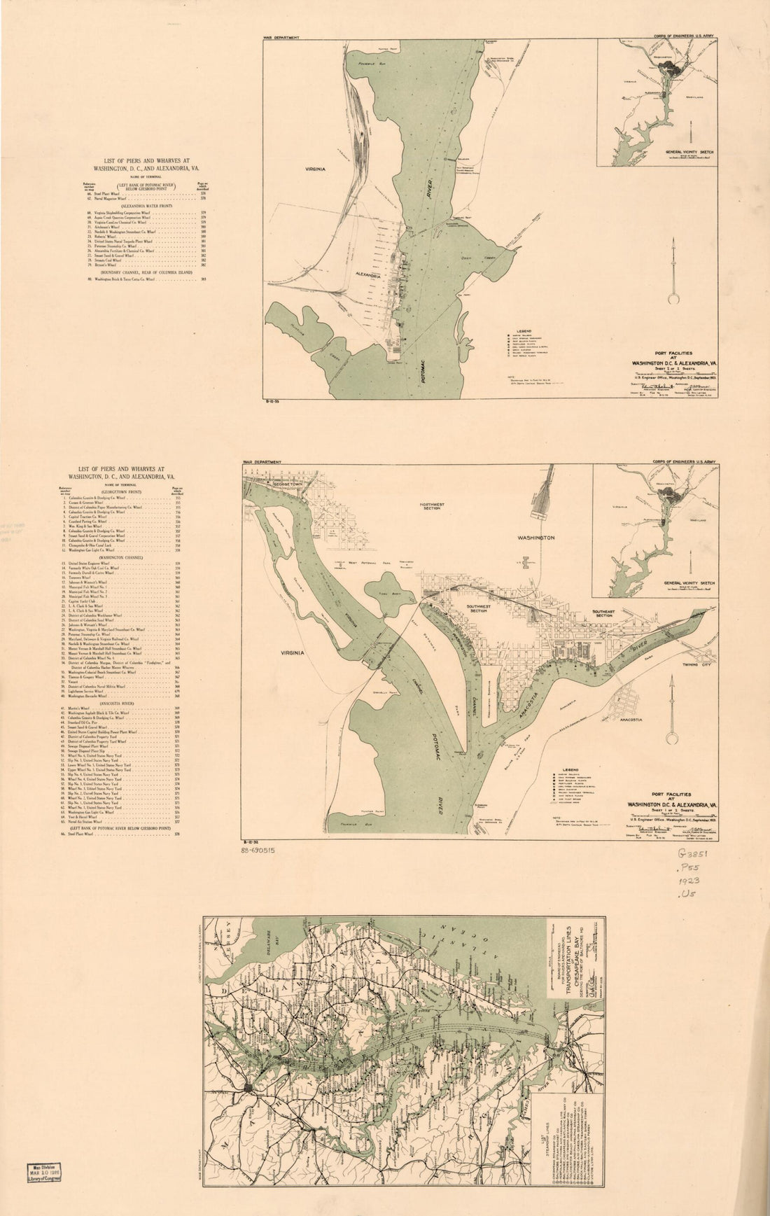 Port Facilities at Washington D.C. & Alexandria, Va in 1923Port Facilities at Washington D.C. & Alexandria, Va in 1923
- Regular price
-
$58.95 $99.95 - Regular price
-
$41.95 - Sale price
-
$58.95 $99.95
-
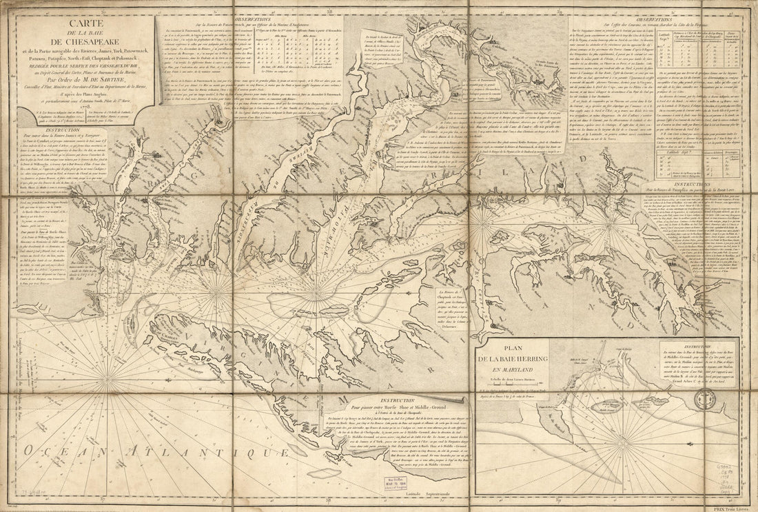 East, Choptank Et Pokomack in 1778East, Choptank Et Pokomack in 1778
- Regular price
-
$58.95 $99.95 - Regular price
-
$41.95 - Sale price
-
$58.95 $99.95
-
 Route Map of the Norfolk & Washington Steamboat Company : Showing the Potomac River, Chesapeake Bay, and Adjacent Territory In Maryland and Virginia 1920Route Map of the Norfolk & Washington Steamboat Company : Showing the Potomac River, Chesapeake Bay, and Adjacent Territory In Maryland and Virginia 1920
- Regular price
-
$49.95 $99.95 - Regular price
-
$34.95 - Sale price
-
$49.95 $99.95
-
 Chesapeake Bay from Its Head to Potomac River 1861Chesapeake Bay from Its Head to Potomac River 1861
- Regular price
-
$54.95 $128.95 - Regular price
-
$38.95 - Sale price
-
$54.95 $128.95


