

24 products
-
 Birdseye View of Tennessee River, Pittsburg Landing, and the Battlefield of Shiloh, April 6, 1862 1917Birdseye View of Tennessee River, Pittsburg Landing, and the Battlefield of Shiloh, April 6, 1862 1917
- Regular price
-
$49.95 $88.95 - Regular price
-
$29.95 - Sale price
-
$49.95 $88.95
-
 United States of America 1818United States of America 1818
- Regular price
-
$49.95 $83.95 - Regular price
-
$31.95 - Sale price
-
$49.95 $83.95
-
 Map Showing the Metropolitan Street Railway System and Lines Operated In Connection Therewith : 232.07 Miles : borough of Manhattan, New York City 1899Map Showing the Metropolitan Street Railway System and Lines Operated In Connection Therewith : 232.07 Miles : borough of Manhattan, New York City 1899
- Regular price
-
$58.95 $99.95 - Regular price
-
$41.95 - Sale price
-
$58.95 $99.95
-
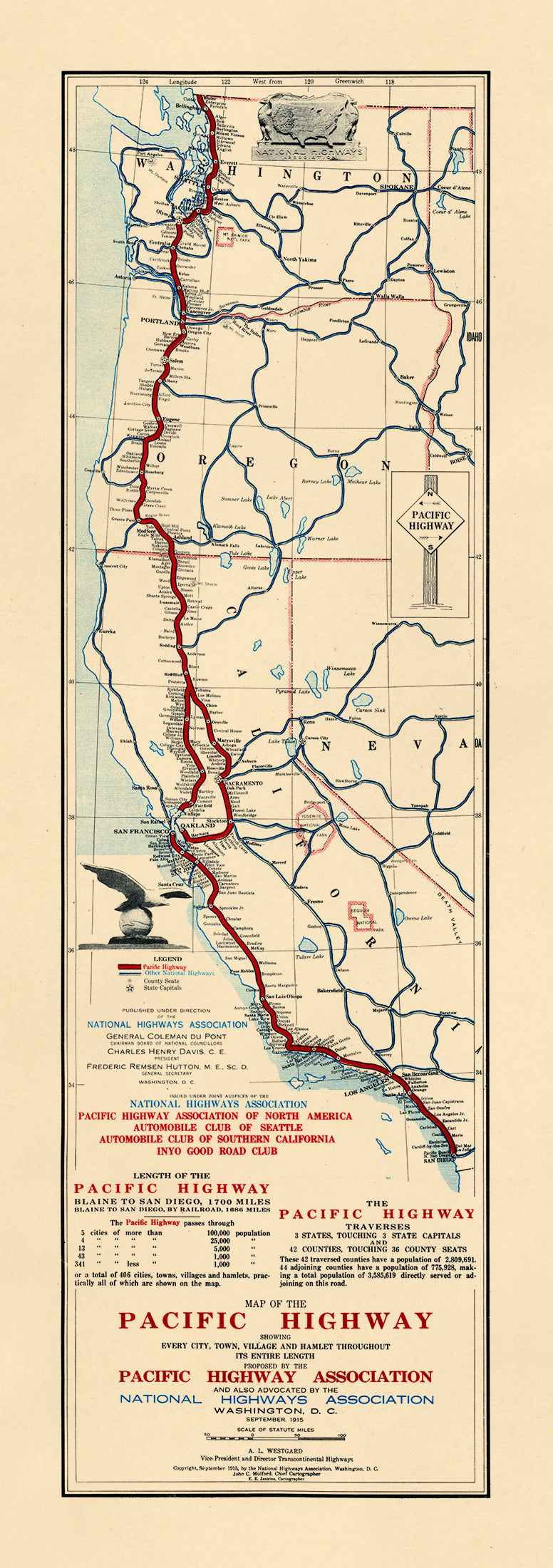 Map of the Pacific Highway. (Map of the Pacific Highway: Showing Every Town, Village and Hamlet Throughout Its Entire Length) 1915Map of the Pacific Highway. (Map of the Pacific Highway: Showing Every Town, Village and Hamlet Throughout Its Entire Length) 1915
- Regular price
-
$49.95 $99.95 - Regular price
-
$34.95 - Sale price
-
$49.95 $99.95
-
 A Map of the Seat of War at New Orleans 1815A Map of the Seat of War at New Orleans 1815
- Regular price
-
$49.95 $88.95 - Regular price
-
$29.95 - Sale price
-
$49.95 $88.95
-
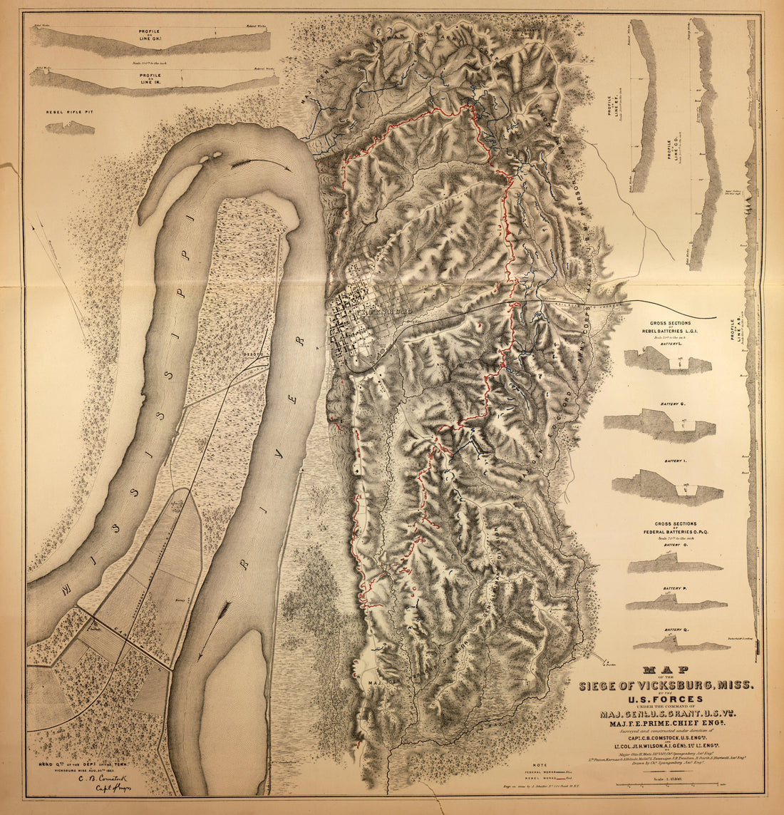 Map of the Siege of Vicksburg, Miss., 1863 from Military Maps of the United States 1883Map of the Siege of Vicksburg, Miss., 1863 from Military Maps of the United States 1883
- Regular price
-
$49.95 $92.95 - Regular price
-
$36.95 - Sale price
-
$49.95 $92.95
-
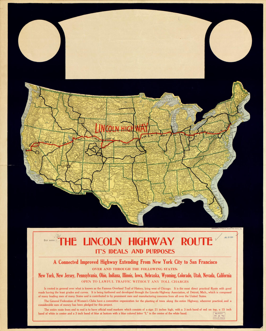 The Lincoln Highway Route : It's Ideals and Purposes : a Connected Improved Highway Extending from New York City to San Francisco 1914The Lincoln Highway Route : It's Ideals and Purposes : a Connected Improved Highway Extending from New York City to San Francisco 1914
- Regular price
-
$54.95 $83.95 - Regular price
-
$38.95 - Sale price
-
$54.95 $83.95
-
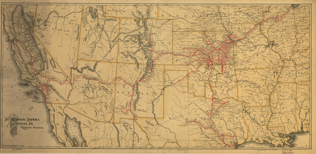 The Atchison, Topeka and the Santa Fe Railroad System, 1899The Atchison, Topeka and the Santa Fe Railroad System, 1899
- Regular price
-
$58.95 $99.95 - Regular price
-
$41.95 - Sale price
-
$58.95 $99.95
-
 Lewis and Clark Map, With Annotations In Brown Ink by Meriwether Lewis, Tracing Showing the Mississippi, the Missouri for a Short Distance Above Kansas, Lakes Michigan, Superior, and Winnipeg, and the Country Onwards to the Pacific 1803Lewis and Clark Map, With Annotations In Brown Ink by Meriwether Lewis, Tracing Showing the Mississippi, the Missouri for a Short Distance Above Kansas, Lakes Michigan, Superior, and Winnipeg, and the Country Onwards to the Pacific 1803
- Regular price
-
$58.95 $155.95 - Regular price
-
$41.95 - Sale price
-
$58.95 $155.95
-
 Plan of Yorktown and Glucester, Virginia, October 1781 from Atlas of the Battles of the American Revolution, Together With Maps Shewing the Routes of the British and American Armies, Plans of Cities, Surveys of Harbors, &c 1845Plan of Yorktown and Glucester, Virginia, October 1781 from Atlas of the Battles of the American Revolution, Together With Maps Shewing the Routes of the British and American Armies, Plans of Cities, Surveys of Harbors, &c 1845
- Regular price
-
$49.95 $92.95 - Regular price
-
$36.95 - Sale price
-
$49.95 $92.95
-
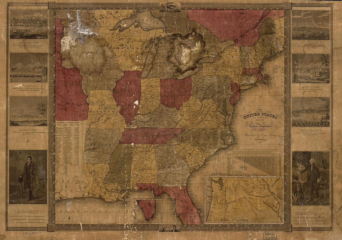 The United States 1837The United States 1837
- Regular price
-
$58.95 $251.95 - Regular price
-
$41.95 - Sale price
-
$58.95 $251.95
-
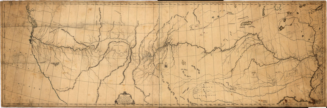 A Map of the Discoveries of Capt. Lewis & Clark From the Rockey Mountain and the River Lewis to the Cap of Disappointement Or the Coloumbia River at the North Pacific Ocean in 1807A Map of the Discoveries of Capt. Lewis & Clark From the Rockey Mountain and the River Lewis to the Cap of Disappointement Or the Coloumbia River at the North Pacific Ocean in 1807
- Regular price
-
$58.95 $189.95 - Regular price
-
$41.95 - Sale price
-
$58.95 $189.95


