898 products
-
 CA Drawer 171, Folder 09, Item 01 from Maps of California--counties New-Orange to 1937 1889CA Drawer 171, Folder 09, Item 01 from Maps of California--counties New-Orange to 1937 1889
- Regular price
-
$39.95 $83.95 - Regular price
-
$36.95 - Sale price
-
$39.95 $83.95
-
 CA Drawer 180, Folder 01, Item 02 from Maps of California--counties San Benito 1850|1874CA Drawer 180, Folder 01, Item 02 from Maps of California--counties San Benito 1850|1874
- Regular price
-
$39.95 $83.95 - Regular price
-
$36.95 - Sale price
-
$39.95 $83.95
-
 CA Drawer 180, Folder 01, Item 01 (Front) from Maps of California--counties San Benito 1850|1874CA Drawer 180, Folder 01, Item 01 (Front) from Maps of California--counties San Benito 1850|1874
- Regular price
-
$39.95 $83.95 - Regular price
-
$36.95 - Sale price
-
$39.95 $83.95
-
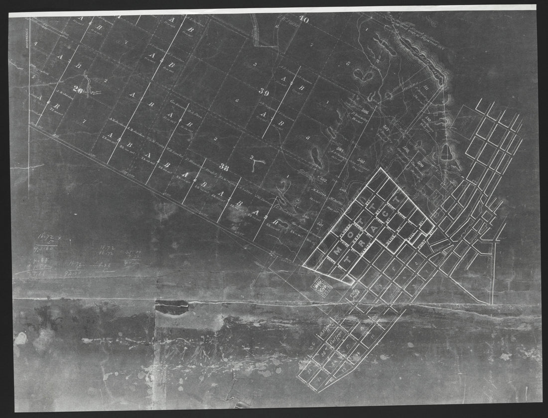
 CA Drawer 151, Folder 09, Item 01 (Front) from Maps of California--counties Los Angeles 1850-1910CA Drawer 151, Folder 09, Item 01 (Front) from Maps of California--counties Los Angeles 1850-1910
- Regular price
-
$39.95 $99.95 - Regular price
-
$36.95 - Sale price
-
$39.95 $99.95
-
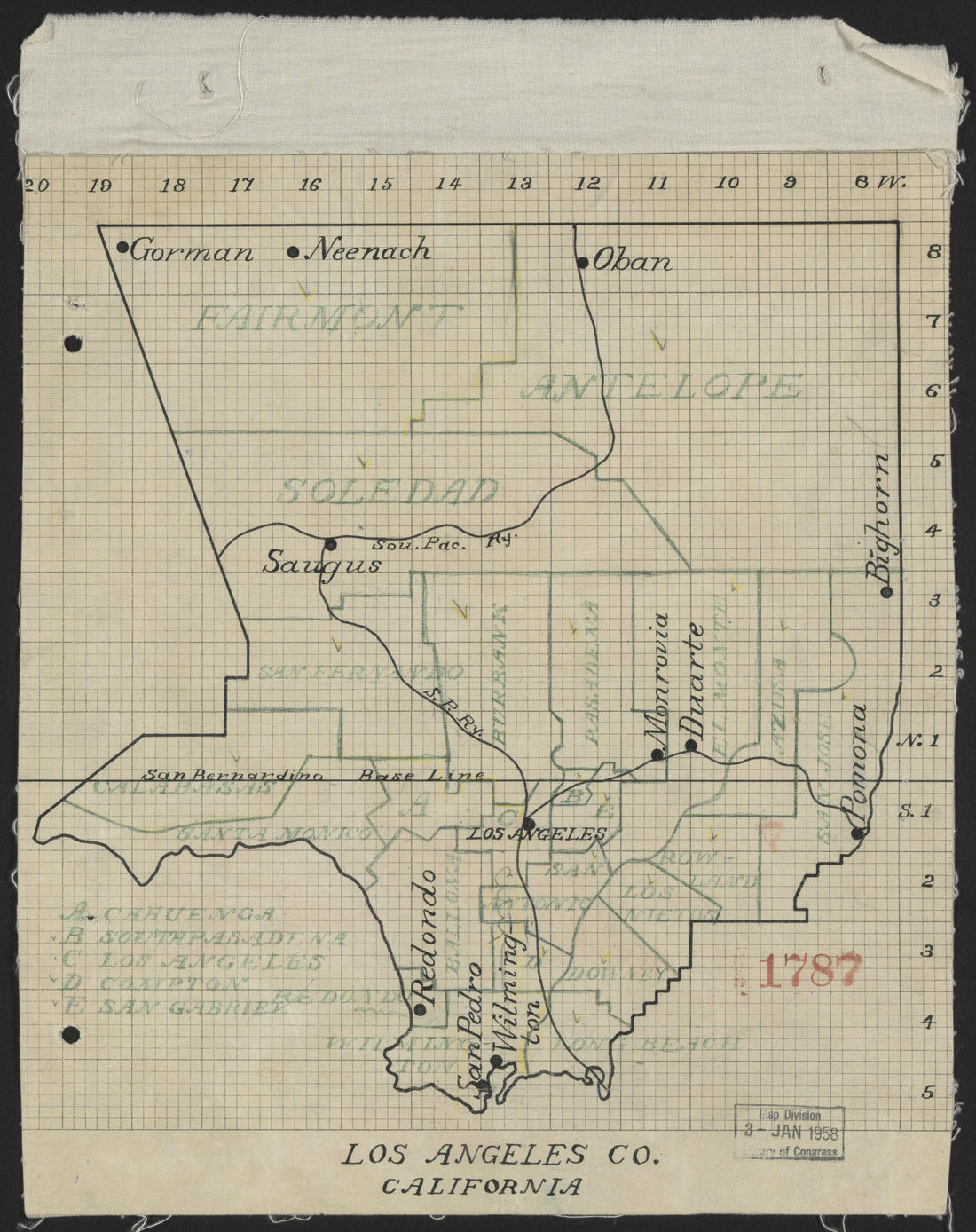
 CA Drawer 151, Folder 13, Item 01 (Front) from Maps of California--counties Los Angeles 1850-1910CA Drawer 151, Folder 13, Item 01 (Front) from Maps of California--counties Los Angeles 1850-1910
- Regular price
-
$39.95 $88.95 - Regular price
-
$36.95 - Sale price
-
$39.95 $88.95
-
 CA Drawer 151, Folder 23, Item 01 from Maps of California--counties Los Angeles 1850-1910CA Drawer 151, Folder 23, Item 01 from Maps of California--counties Los Angeles 1850-1910
- Regular price
-
$39.95 $88.95 - Regular price
-
$36.95 - Sale price
-
$39.95 $88.95
-
 CA Drawer 151, Folder 20, Item 01 from Maps of California--counties Los Angeles 1850-1910CA Drawer 151, Folder 20, Item 01 from Maps of California--counties Los Angeles 1850-1910
- Regular price
-
$39.95 $83.95 - Regular price
-
$36.95 - Sale price
-
$39.95 $83.95
-
 CA Drawer 151, Folder 19, Item 01 (Front) from Maps of California--counties Los Angeles 1850-1910CA Drawer 151, Folder 19, Item 01 (Front) from Maps of California--counties Los Angeles 1850-1910
- Regular price
-
$39.95 $99.95 - Regular price
-
$36.95 - Sale price
-
$39.95 $99.95
-
 CA Drawer 151, Folder 01, Item 01 from Maps of California--counties Los Angeles 1850-1910CA Drawer 151, Folder 01, Item 01 from Maps of California--counties Los Angeles 1850-1910
- Regular price
-
$39.95 $83.95 - Regular price
-
$36.95 - Sale price
-
$39.95 $83.95
-
 CA Drawer 151, Folder 05, Item 01 from Maps of California--counties Los Angeles 1850-1910CA Drawer 151, Folder 05, Item 01 from Maps of California--counties Los Angeles 1850-1910
- Regular price
-
$39.95 $83.95 - Regular price
-
$36.95 - Sale price
-
$39.95 $83.95
-
 CA Drawer 151, Folder 13, Item 02 (Front) from Maps of California--counties Los Angeles 1850-1910CA Drawer 151, Folder 13, Item 02 (Front) from Maps of California--counties Los Angeles 1850-1910
- Regular price
-
$39.95 $88.95 - Regular price
-
$36.95 - Sale price
-
$39.95 $88.95
-
 CA Drawer 151, Folder 26, Item 01 from Maps of California--counties Los Angeles 1850-1910CA Drawer 151, Folder 26, Item 01 from Maps of California--counties Los Angeles 1850-1910
- Regular price
-
$39.95 $83.95 - Regular price
-
$23.95 - Sale price
-
$39.95 $83.95


