467 products
-
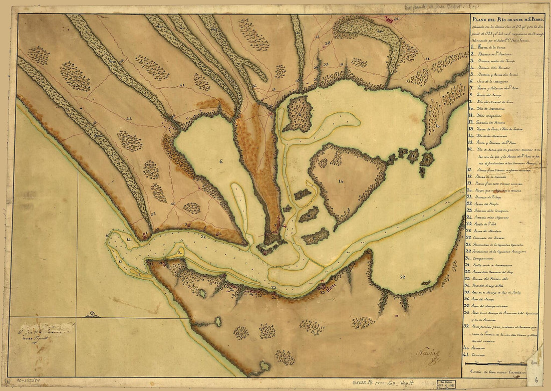 Plano Del Rio Grande De S. Pedro Situado En La Latitud Sur De 32 Grs. Y En La Longitud De 325 Grs. 45 Mins., Meridiano De Tenerife 1733Plano Del Rio Grande De S. Pedro Situado En La Latitud Sur De 32 Grs. Y En La Longitud De 325 Grs. 45 Mins., Meridiano De Tenerife 1733
- Regular price
-
$43.95 $141.95 - Regular price
-
$38.95 - Sale price
-
$43.95 $141.95
-
 Plano De Manila, Este Plano Contiene Una Pte. De La Ya. De Lubzon Y Otra De La De Mindoro Y En La Primero Esta, La Bahía De Manila Cituada En Desta Ciudad En Los 14 Gs. 30 Ms. N. Y Longd. De 135 Gs. 21 Ms. Segun El Meridiano De Tenerife Consta De La ...Plano De Manila, Este Plano Contiene Una Pte. De La Ya. De Lubzon Y Otra De La De Mindoro Y En La Primero Esta, La Bahía De Manila Cituada En Desta Ciudad En Los 14 Gs. 30 Ms. N. Y Longd. De 135 Gs. 21 Ms. Segun El Meridiano De Tenerife Consta De La ...
- Regular price
-
$43.95 $143.95 - Regular price
-
$38.95 - Sale price
-
$43.95 $143.95
-
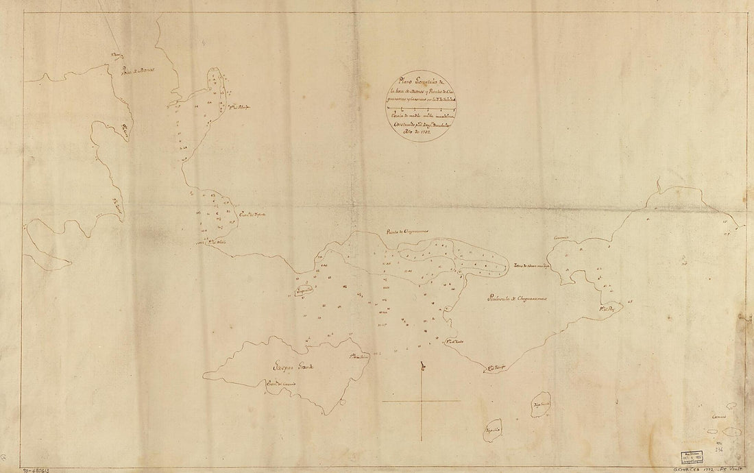 Plano Geométrico De La Boca De Monos Y Puertos De Charguaramas Y Carenero En La Ya. De Trinidad 1792Plano Geométrico De La Boca De Monos Y Puertos De Charguaramas Y Carenero En La Ya. De Trinidad 1792
- Regular price
-
$46.95 $180.95 - Regular price
-
$41.95 - Sale price
-
$46.95 $180.95
-
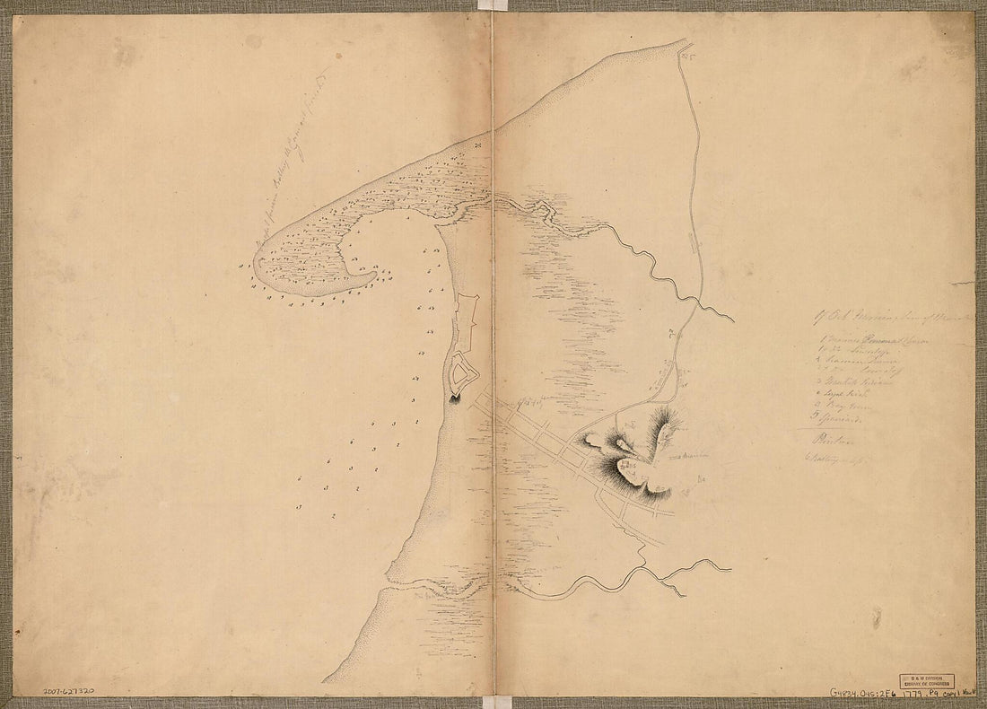 Puerto De Omoa Honduras 1779Puerto De Omoa Honduras 1779
- Regular price
-
$43.95 $151.95 - Regular price
-
$38.95 - Sale price
-
$43.95 $151.95
-
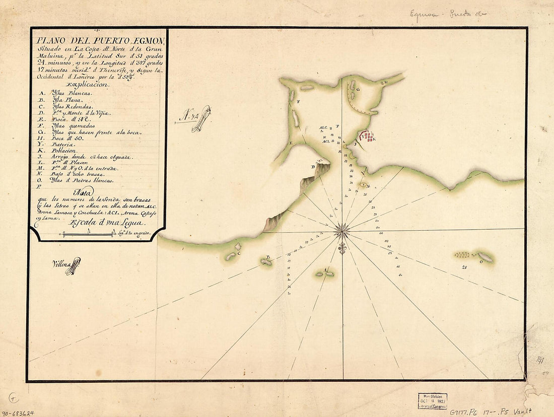 Plano Del Puerto Egmon Situado En La Costa Dl. Norte D. La Gran Malvina Pr. La Latitud Sur D. 51 Grados 24 Minutos Y En La Longitud D. 317 Grados 17 Minutos, Merido. D. Thenerife Y Segun La Occidental D. Londres Por La D. 59 Gs 1700Plano Del Puerto Egmon Situado En La Costa Dl. Norte D. La Gran Malvina Pr. La Latitud Sur D. 51 Grados 24 Minutos Y En La Longitud D. 317 Grados 17 Minutos, Merido. D. Thenerife Y Segun La Occidental D. Londres Por La D. 59 Gs 1700
- Regular price
-
$39.95 $88.95 - Regular price
-
$34.95 - Sale price
-
$39.95 $88.95
-
 Coast of Massachusetts from Cape Ann to Manomet Point, Including Northern Tip of Cape Cod 1776Coast of Massachusetts from Cape Ann to Manomet Point, Including Northern Tip of Cape Cod 1776
- Regular price
-
$46.95 $127.95 - Regular price
-
$41.95 - Sale price
-
$46.95 $127.95
-
 Plano Del Puerto De Nipe Situado En La Costa Del N. De La De La sic Ya. De La Havana En La Latd. De 21 Gs. 10 Ms. Sepc. Y En La Longd. De 301 Gs. 33 Ms. Segn. El Meridio. De Thenerife 1700Plano Del Puerto De Nipe Situado En La Costa Del N. De La De La sic Ya. De La Havana En La Latd. De 21 Gs. 10 Ms. Sepc. Y En La Longd. De 301 Gs. 33 Ms. Segn. El Meridio. De Thenerife 1700
- Regular price
-
$39.95 $99.95 - Regular price
-
$34.95 - Sale price
-
$39.95 $99.95
-
 Carta Esférica Que Comprehende La Ysla De Trinidad Con Sus Adyacentes, Bajos, Sondas Y Veriles 1793Carta Esférica Que Comprehende La Ysla De Trinidad Con Sus Adyacentes, Bajos, Sondas Y Veriles 1793
- Regular price
-
$46.95 $206.95 - Regular price
-
$41.95 - Sale price
-
$46.95 $206.95
-
 Republic of Liberia 1853Republic of Liberia 1853
- Regular price
-
$46.95 $265.95 - Regular price
-
$41.95 - Sale price
-
$46.95 $265.95
-
 Neuve 1784Neuve 1784
- Regular price
-
$46.95 $99.95 - Regular price
-
$41.95 - Sale price
-
$46.95 $99.95
-
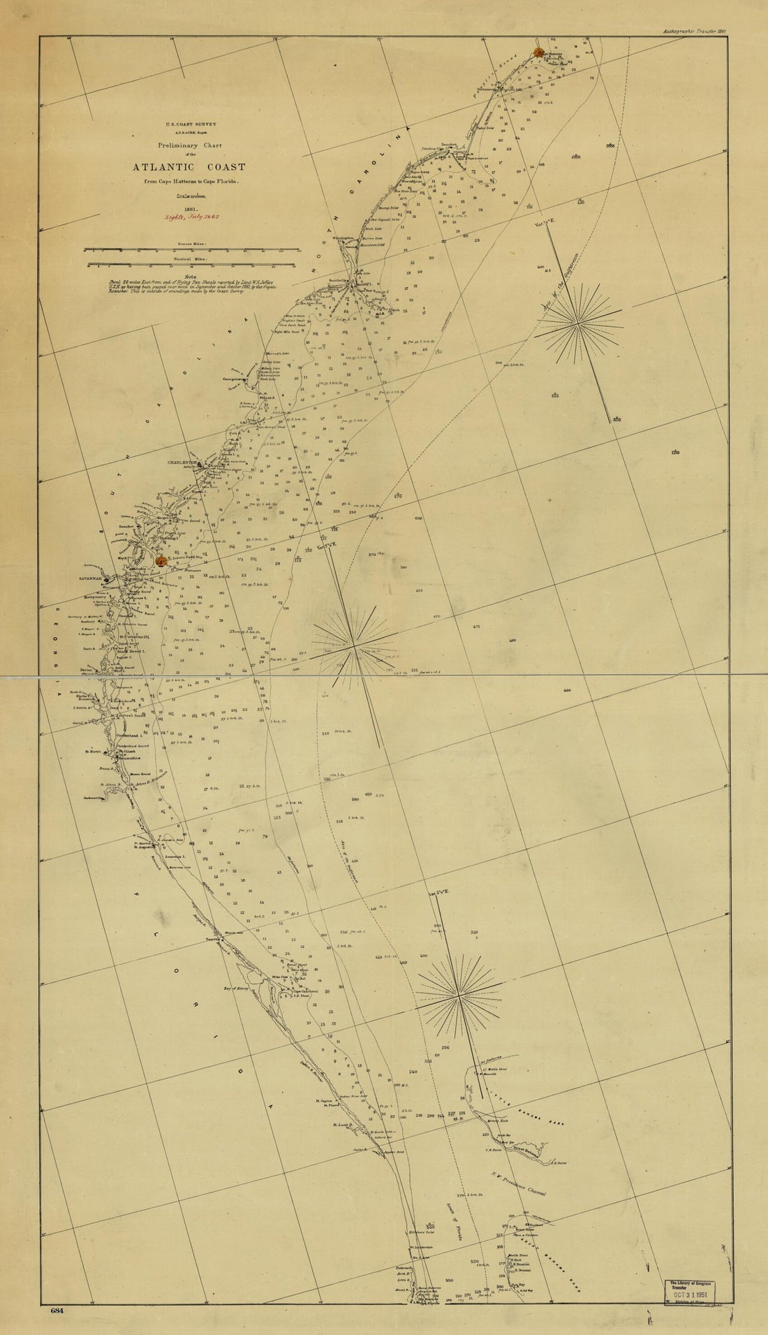 Preliminary Chart of the Atlantic Coast from Cape Hateras to Cape Florida. Autographic Transfer 1861Preliminary Chart of the Atlantic Coast from Cape Hateras to Cape Florida. Autographic Transfer 1861
- Regular price
-
$46.95 $99.95 - Regular price
-
$41.95 - Sale price
-
$46.95 $99.95
-
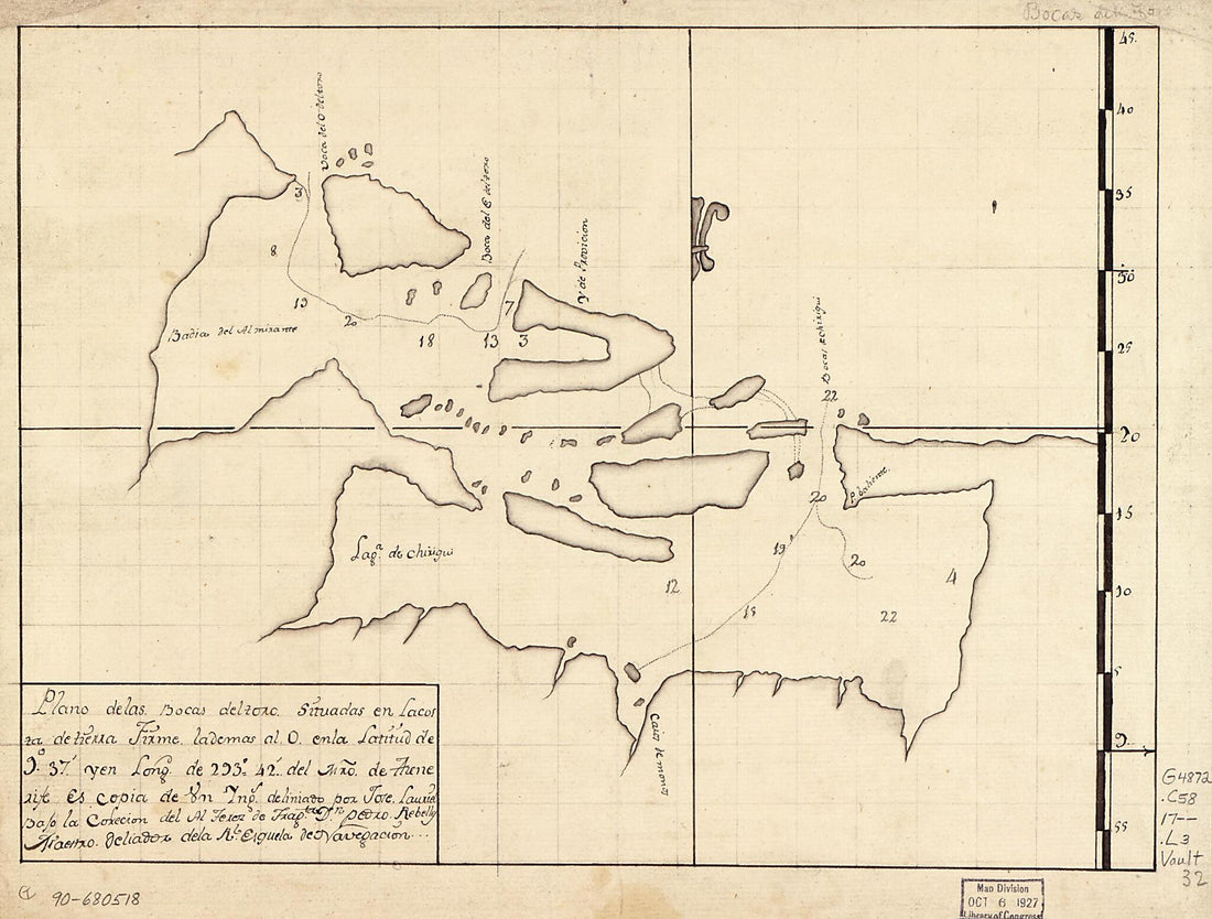 Plano De Las Bocas Del Toro Situadas En La Costa De Tierra Firme, La De Mas Al O. En La Latitud De 9⁰37ʹ Y En Longd. De 293⁰42ʹ Del Mro. De Thenerife 1700Plano De Las Bocas Del Toro Situadas En La Costa De Tierra Firme, La De Mas Al O. En La Latitud De 9⁰37ʹ Y En Longd. De 293⁰42ʹ Del Mro. De Thenerife 1700
- Regular price
-
$39.95 $88.95 - Regular price
-
$34.95 - Sale price
-
$39.95 $88.95


