Quick links
16597 products
-
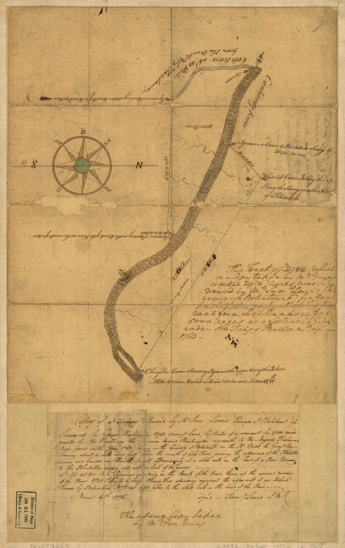 Copy of a Survey Return'd by Mr. Sam Lewis, Surveyor of Botetourt County. Surveyed for George Washington 2950 Acres of Land (by Virtue of a Warrant for 5,000 Acres Granted by His Excellency the Governor to Said Washington Agreeable to His Majesty Proc...Copy of a Survey Return'd by Mr. Sam Lewis, Surveyor of Botetourt County. Surveyed for George Washington 2950 Acres of Land (by Virtue of a Warrant for 5,000 Acres Granted by His Excellency the Governor to Said Washington Agreeable to His Majesty Proc...
- Regular price
-
$49.95 $99.95 - Regular price
-
$34.95 - Sale price
-
$49.95 $99.95
-
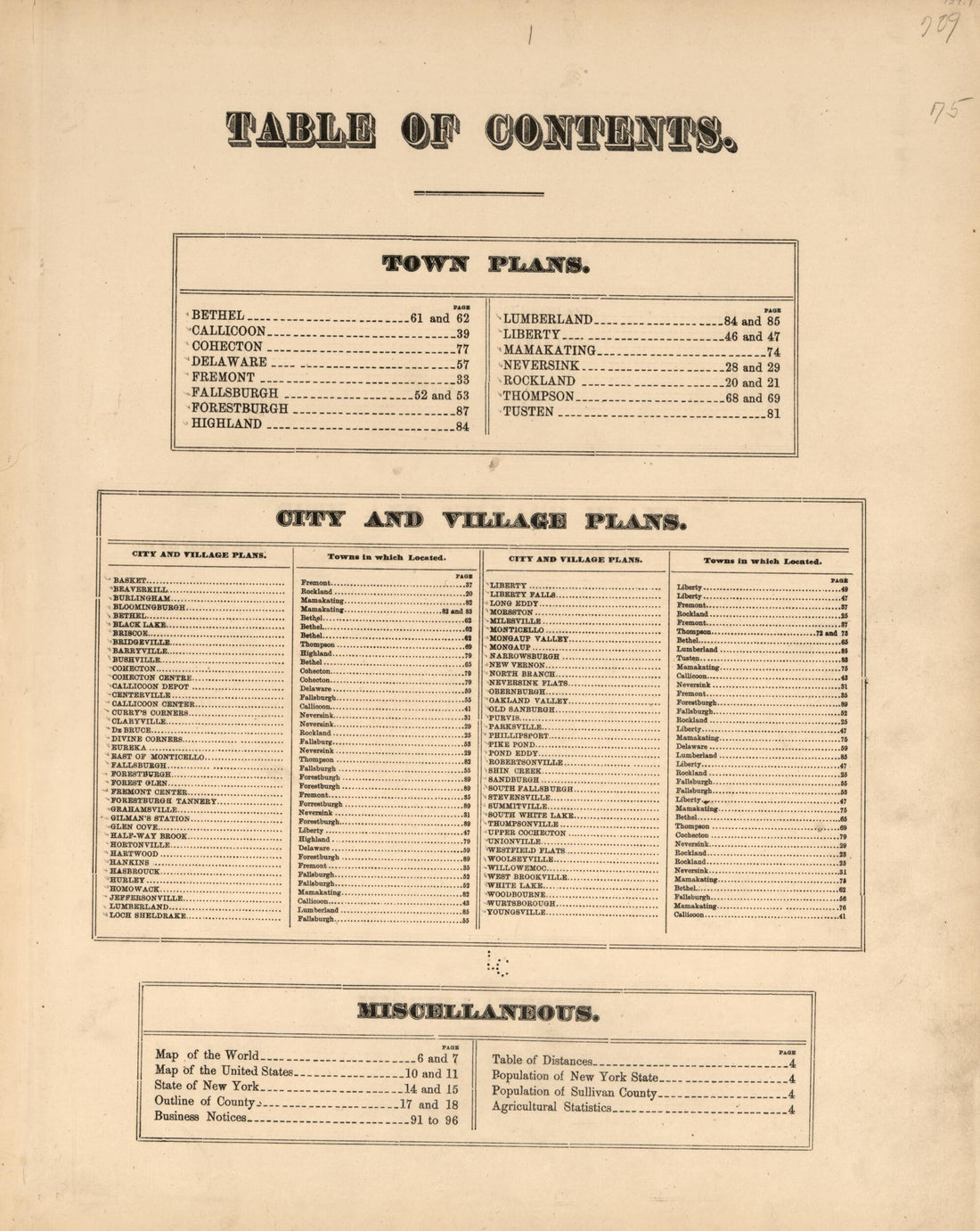 County Atlas of Sullivan, New York 1875County Atlas of Sullivan, New York 1875
- Regular price
-
$49.95 $83.95 - Regular price
-
$34.95 - Sale price
-
$49.95 $83.95
-
 Cobb County, Georgia in 1864Cobb County, Georgia in 1864
- Regular price
-
$49.95 $88.95 - Regular price
-
$34.95 - Sale price
-
$49.95 $88.95
-
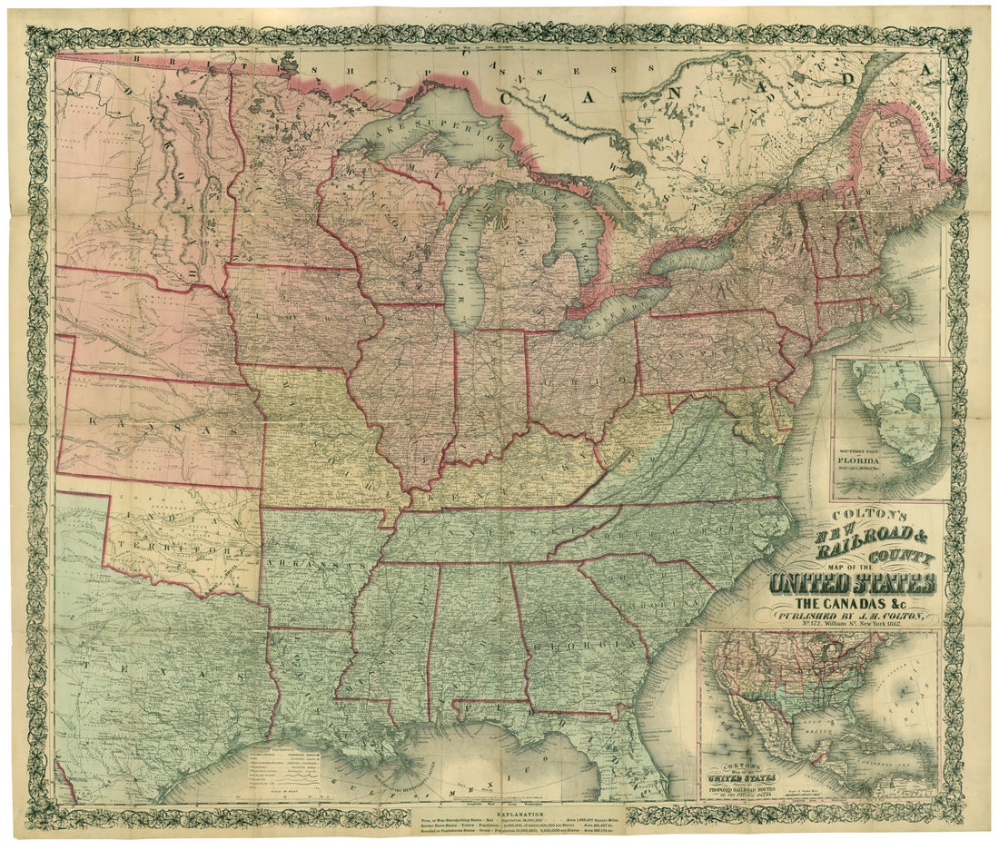 Colton's New Railroad & County Map of the United States, the Canadas &c 1862Colton's New Railroad & County Map of the United States, the Canadas &c 1862
- Regular price
-
$49.95 $147.95 - Regular price
-
$34.95 - Sale price
-
$49.95 $147.95
-
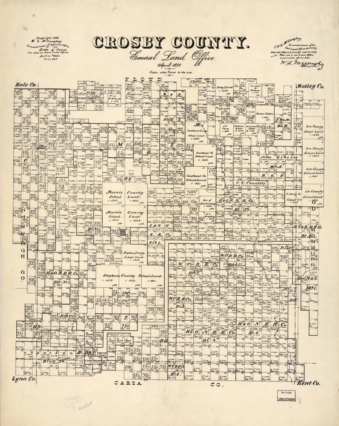 Crosby County : General Land Office, April 1892Crosby County : General Land Office, April 1892
- Regular price
-
$49.95 $85.95 - Regular price
-
$34.95 - Sale price
-
$49.95 $85.95
-
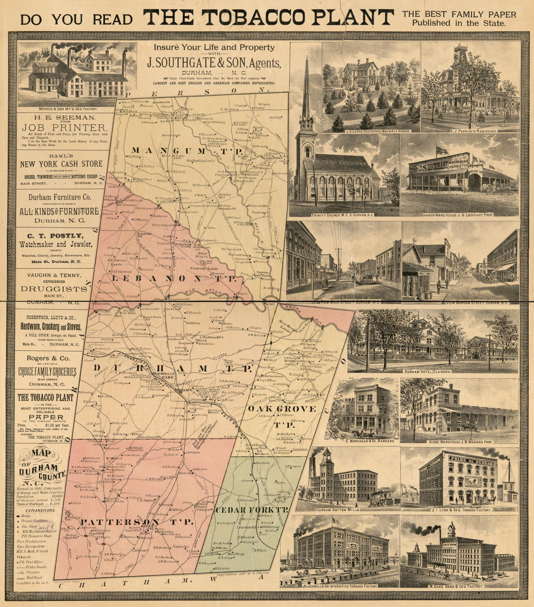 Durham County, North Carolina in 1887Durham County, North Carolina in 1887
- Regular price
-
$49.95 $100.95 - Regular price
-
$34.95 - Sale price
-
$49.95 $100.95
-
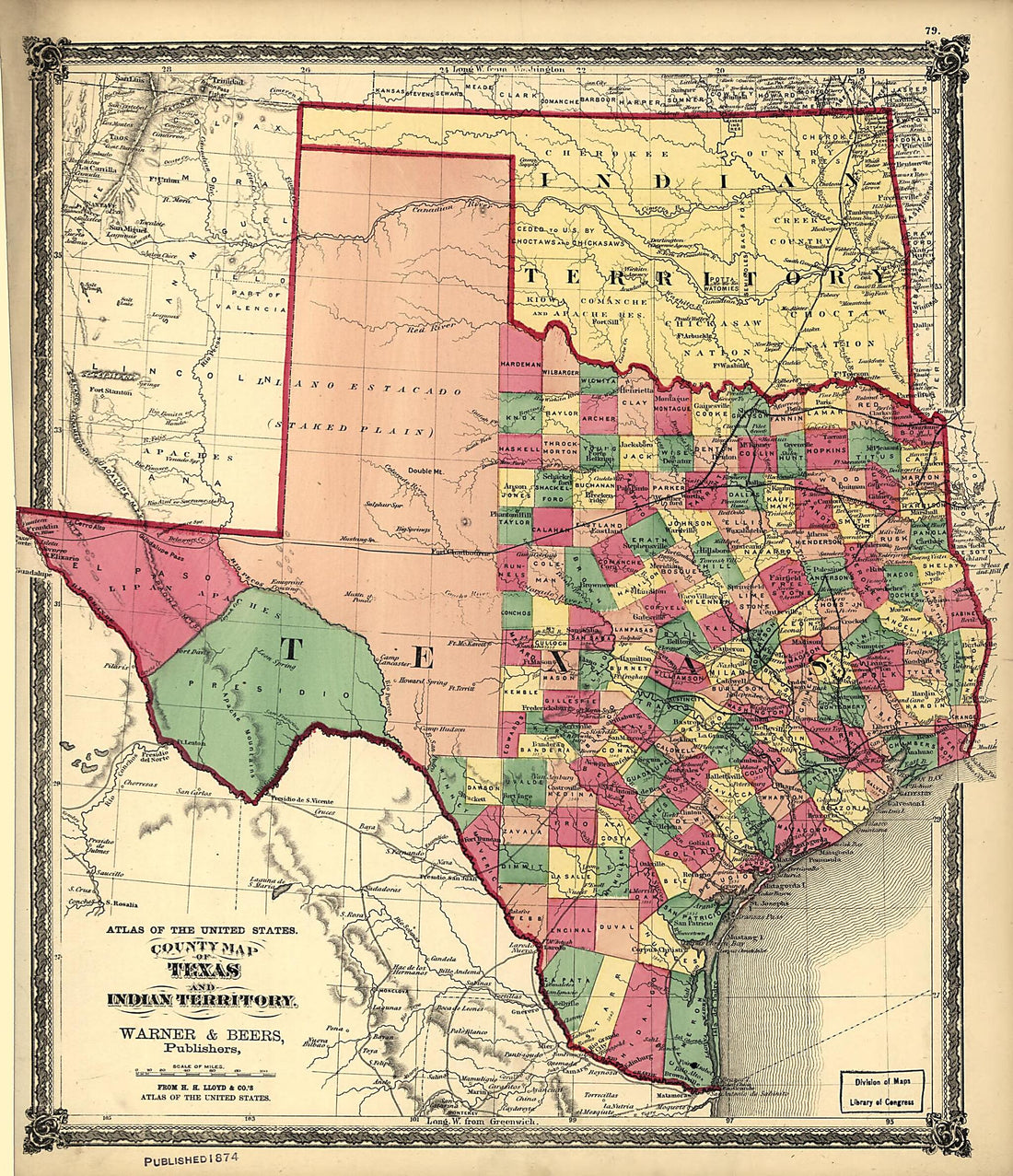 County Map of Texas, and Indian Territory 1875County Map of Texas, and Indian Territory 1875
- Regular price
-
$49.95 $83.95 - Regular price
-
$29.95 - Sale price
-
$49.95 $83.95
-
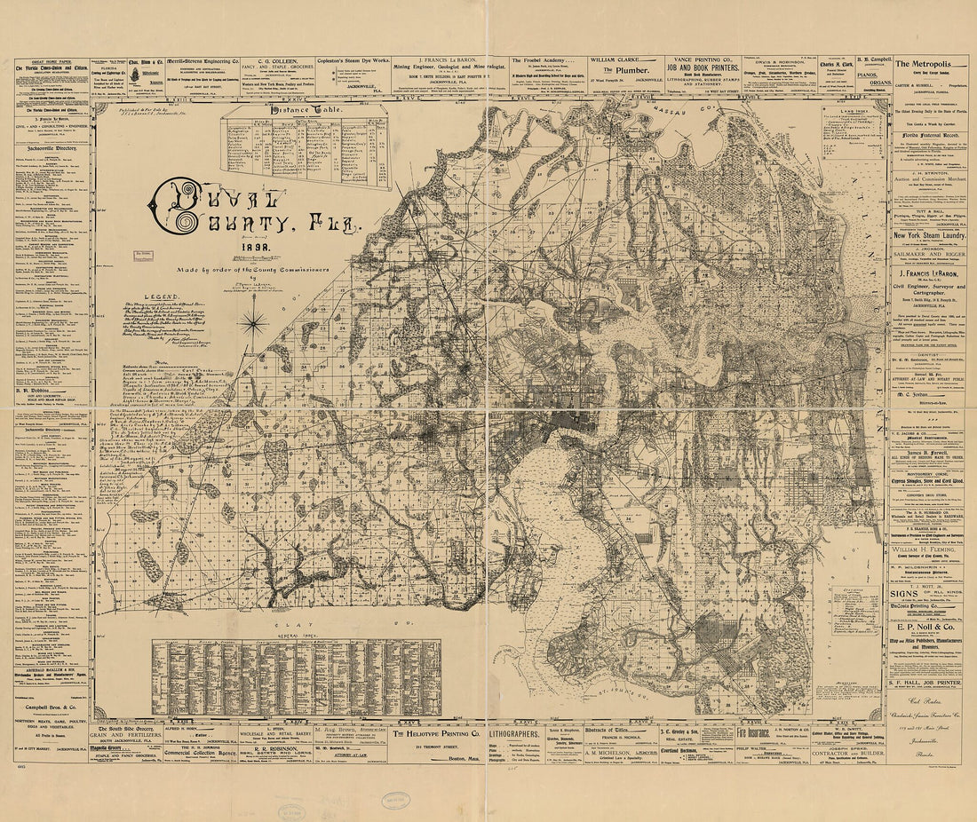 Duval County, Florida 1898Duval County, Florida 1898
- Regular price
-
$49.95 $204.95 - Regular price
-
$34.95 - Sale price
-
$49.95 $204.95
-
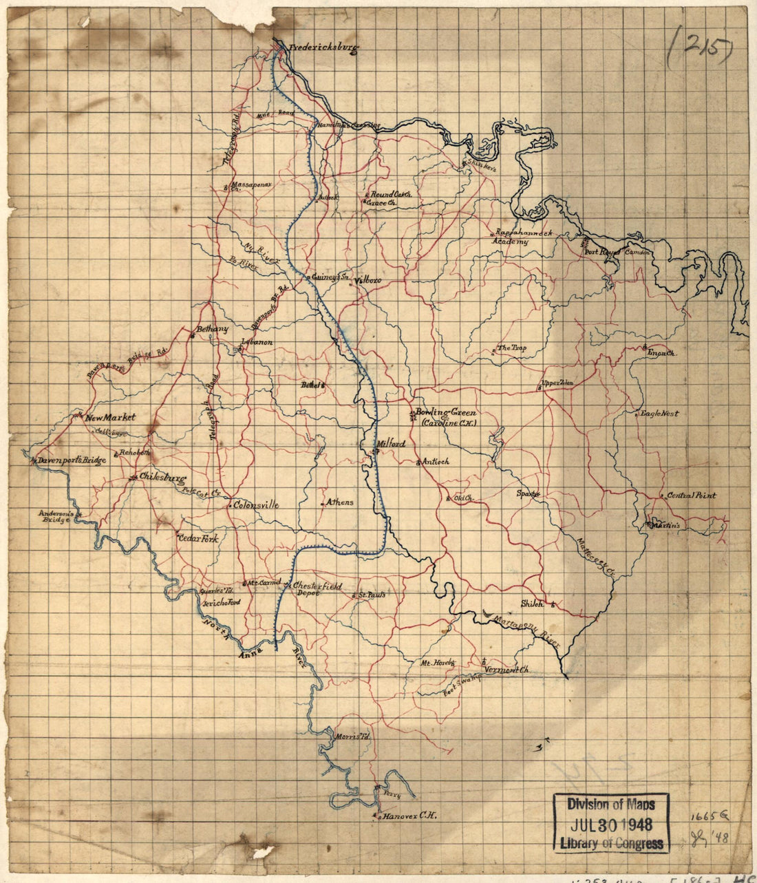 Caroline County, Virginia, Map of the Area Between Fredericksburg and Hanover, Va., Including Caroline County, and the Eastern Part of Spotsylvania County in 1860Caroline County, Virginia, Map of the Area Between Fredericksburg and Hanover, Va., Including Caroline County, and the Eastern Part of Spotsylvania County in 1860
- Regular price
-
$49.95 $83.95 - Regular price
-
$29.95 - Sale price
-
$49.95 $83.95
-
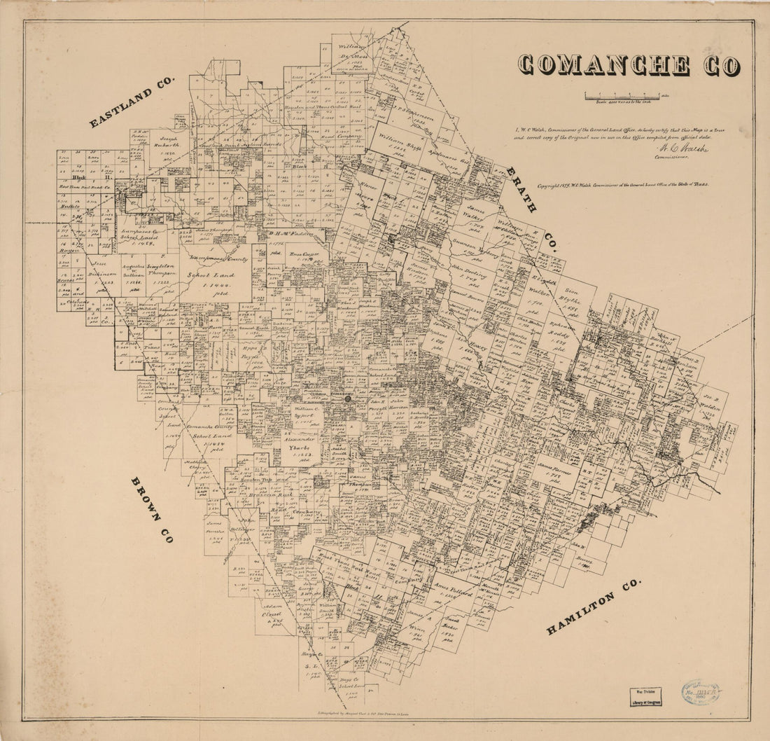 Comanche Co. (Comanche County) 1879Comanche Co. (Comanche County) 1879
- Regular price
-
$49.95 $83.95 - Regular price
-
$34.95 - Sale price
-
$49.95 $83.95
-
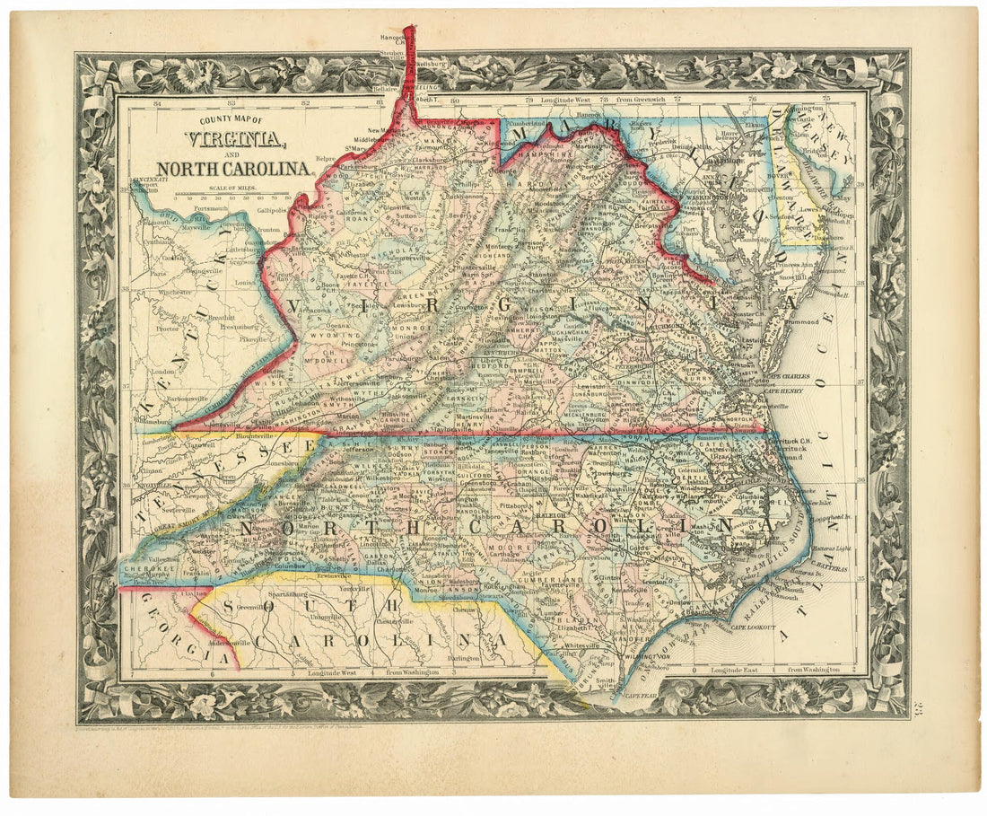 County Map of Virginia, and North Carolina 1860County Map of Virginia, and North Carolina 1860
- Regular price
-
$49.95 $83.95 - Regular price
-
$29.95 - Sale price
-
$49.95 $83.95
-
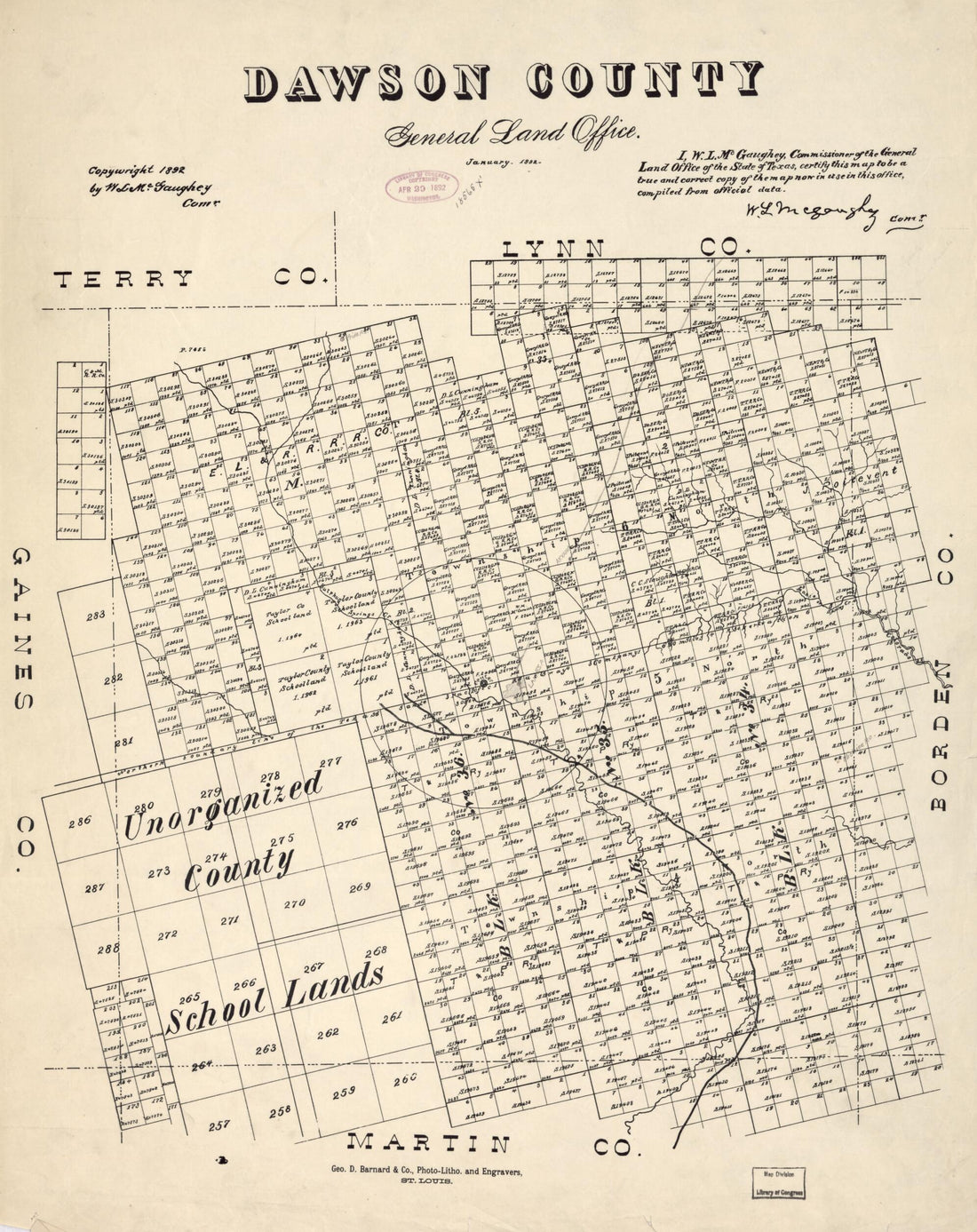 Dawson County 1892Dawson County 1892
- Regular price
-
$49.95 $83.95 - Regular price
-
$34.95 - Sale price
-
$49.95 $83.95


