241 products
-
Map of the Defeat of the Confederate Ship Alabama by the U.S. Steamer Kearsarge On June 19, 1864, Off Cherbourg, France
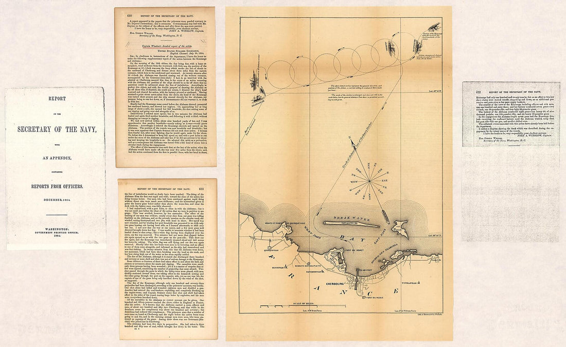 Map of the Defeat of the Confederate Ship Alabama by the U.S. Steamer Kearsarge On June 19, 1864, Off Cherbourg, France
- Regular price
-
$46.95 $140.95 - Regular price
-
$41.95 - Sale price
-
$46.95 $140.95
-
Plan of the Town and Citadel of Fort Royal, the Capital of Martinico With the Bay of Cul De Sac Royal in 1760
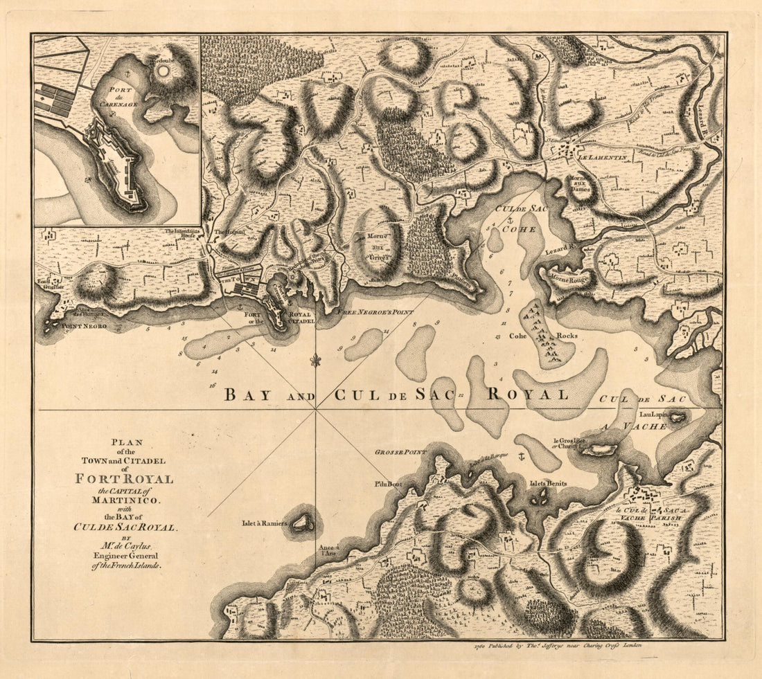 Plan of the Town and Citadel of Fort Royal, the Capital of Martinico With the Bay of Cul De Sac Royal in 1760
- Regular price
-
$39.95 $83.95 - Regular price
-
$34.95 - Sale price
-
$39.95 $83.95
-
Carte Figurative Et Approximative Des Quantités De Céréales Qui Ont Circulé En in 1853 Sur Les Voies D'eau Et De Fer De L'Empire Francais
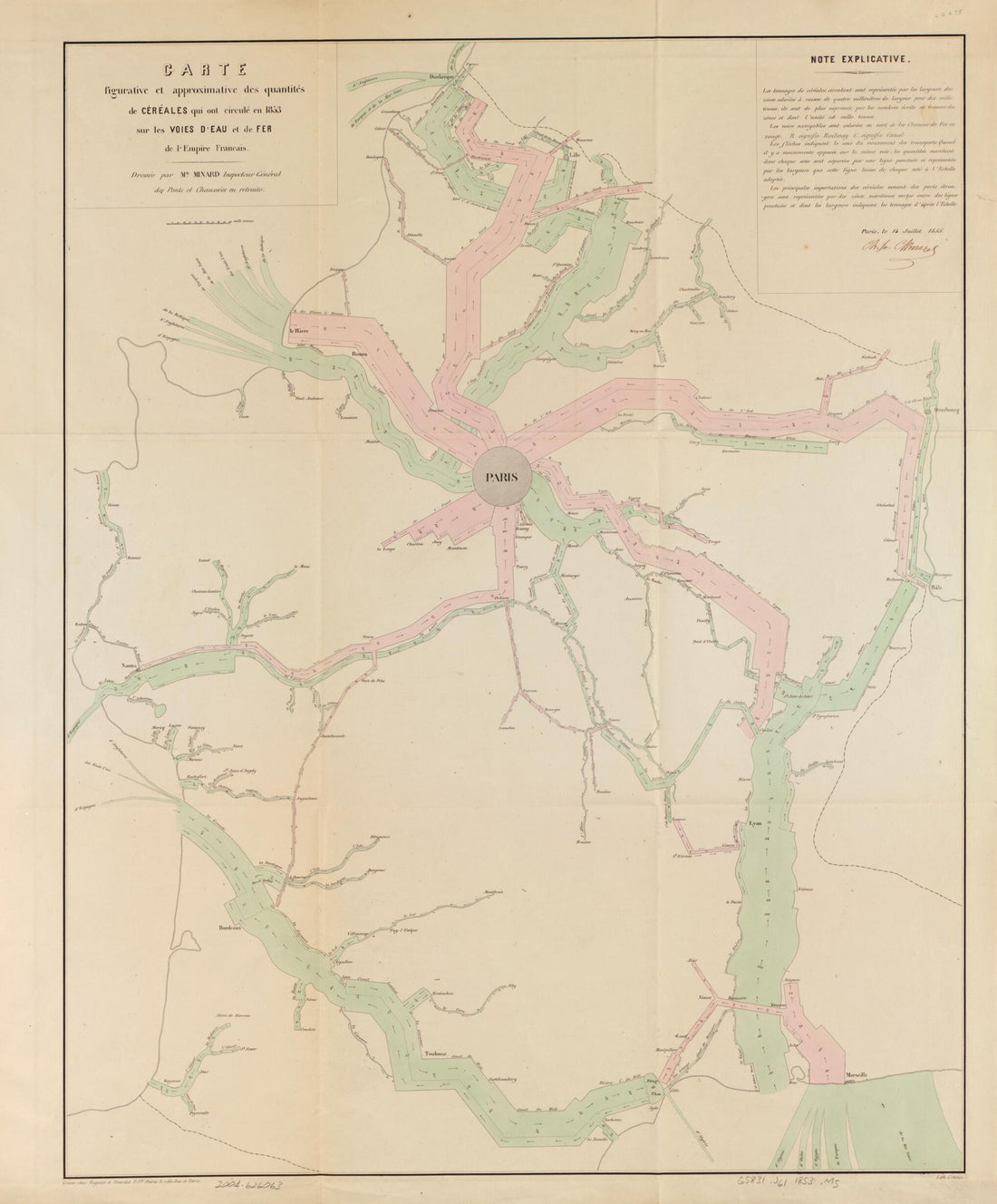 Carte Figurative Et Approximative Des Quantités De Céréales Qui Ont Circulé En in 1853 Sur Les Voies D'eau Et De Fer De L'Empire Francais
- Regular price
-
$39.95 $94.95 - Regular price
-
$34.95 - Sale price
-
$39.95 $94.95
-
Plan of the Circle Battle Between the U.S. Ship Keasarge, Capt. Winslow, and the Confederate Cruiser Alabama, Capt. Raphael Semmes, Off the Harbor of Cherbourg, France : Forenoon of Sunday June 19th 1864 06-19
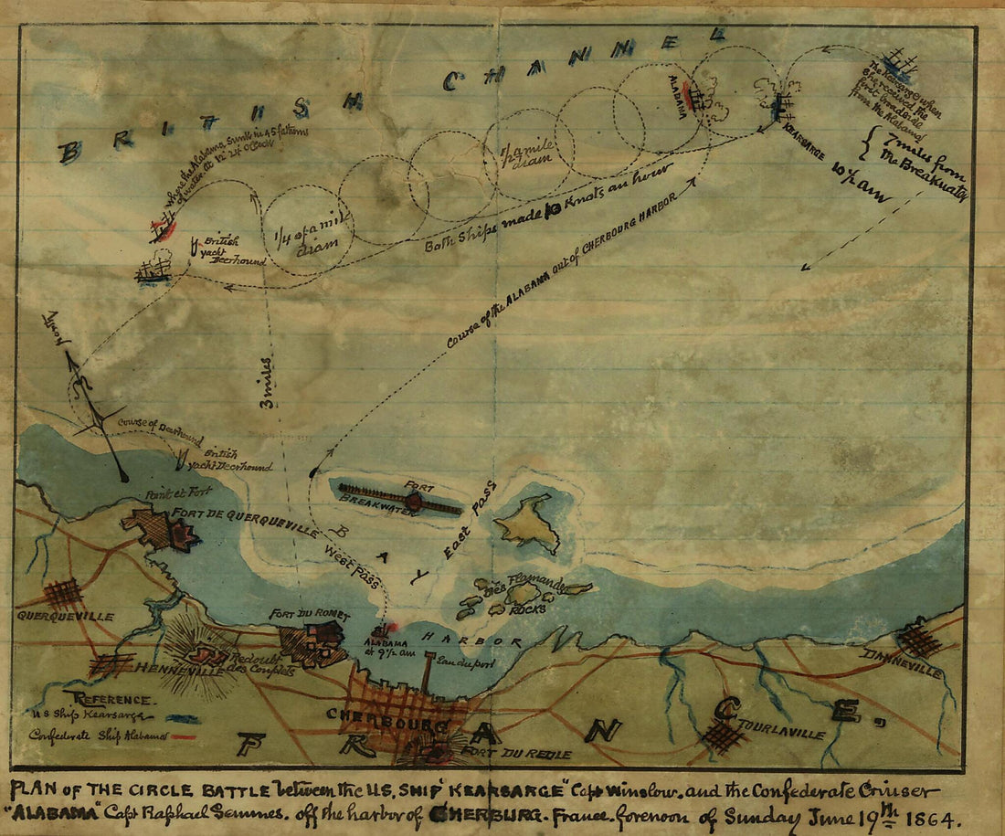 Plan of the Circle Battle Between the U.S. Ship Keasarge, Capt. Winslow, and the Confederate Cruiser Alabama, Capt. Raphael Semmes, Off the Harbor of Cherbourg, France : Forenoon of Sunday June 19th 1864 06-19
- Regular price
-
$39.95 $83.95 - Regular price
-
$29.95 - Sale price
-
$39.95 $83.95
-
Carte Speciale Des Chemins De Fer De La France Et De L'Allemagne a L'usage Des Voyageurs Indiquant Toutes Les Stations Qui Desservent Les Villes, Bourgs Et Communes Situés Sûr Ile Parcours Des Lignes Exploitées (Routes De France) 1865
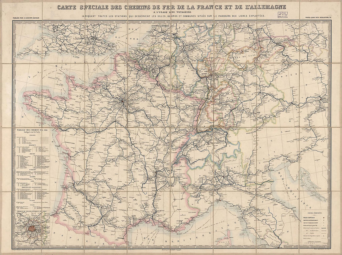 Carte Speciale Des Chemins De Fer De La France Et De L'Allemagne a L'usage Des Voyageurs Indiquant Toutes Les Stations Qui Desservent Les Villes, Bourgs Et Communes Situés Sûr Ile Parcours Des Lignes Exploitées (Routes De France) 1865
- Regular price
-
$43.95 $206.95 - Regular price
-
$32.95 - Sale price
-
$43.95 $206.95
-
Jeu Géographique De La République Française : Présenté à La Convention Nationale in 1795
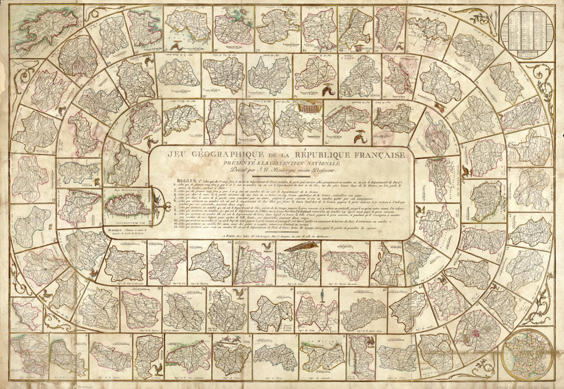 Jeu Géographique De La République Française : Présenté à La Convention Nationale in 1795
- Regular price
-
$46.95 $99.95 - Regular price
-
$41.95 - Sale price
-
$46.95 $99.95
-
A Map of the Present Seat of War On the Northern Part of France, Including the Netherlands, Part of Germany &c in 1793
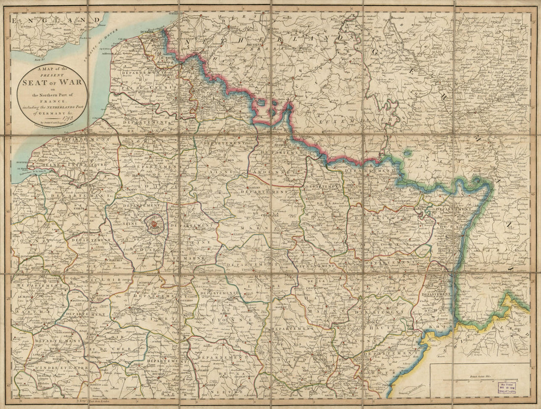 A Map of the Present Seat of War On the Northern Part of France, Including the Netherlands, Part of Germany &c in 1793
- Regular price
-
$43.95 $88.95 - Regular price
-
$32.95 - Sale price
-
$43.95 $88.95
-
Huitieme Plan De Paris Divisé En Ses Vingts Quartiers in 1705
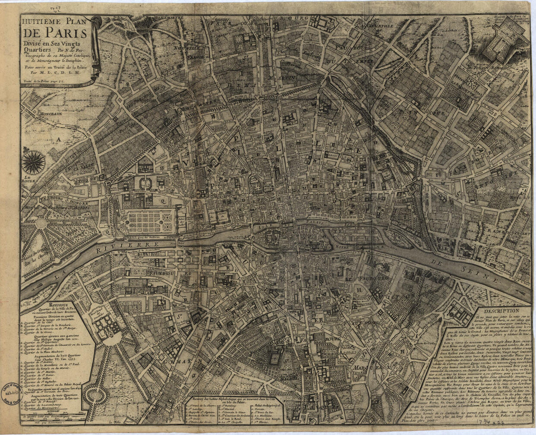 Huitieme Plan De Paris Divisé En Ses Vingts Quartiers in 1705
- Regular price
-
$39.95 $83.95 - Regular price
-
$34.95 - Sale price
-
$39.95 $83.95
-
Carte De France 1756
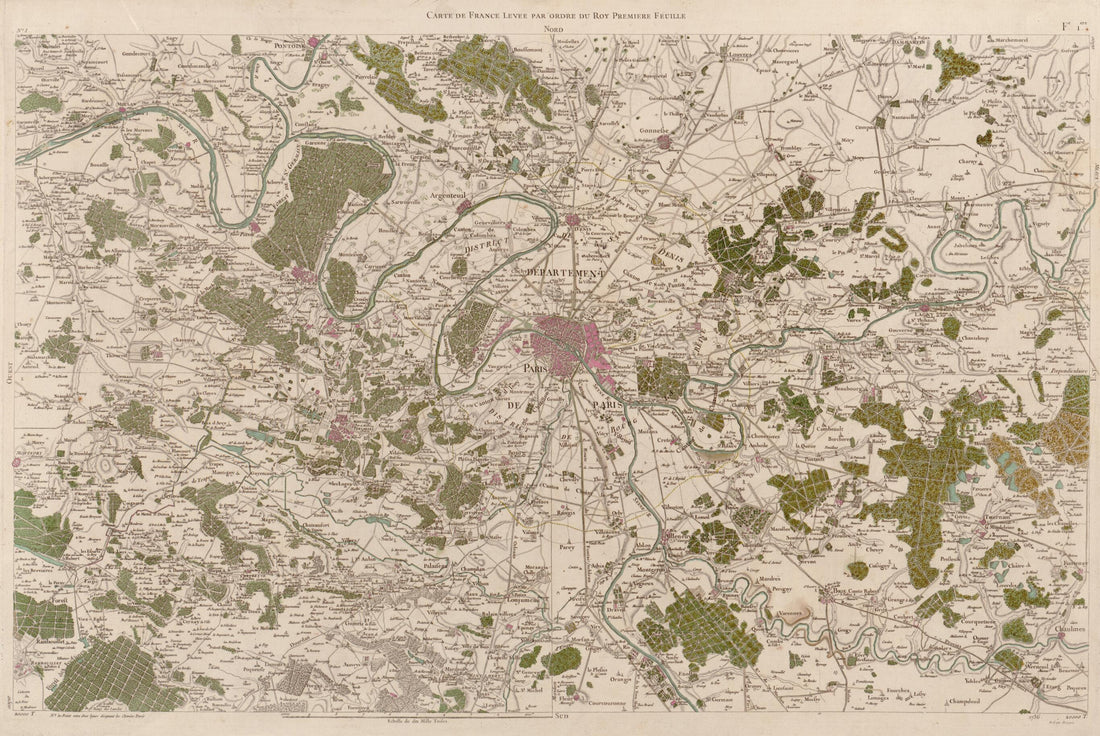 Carte De France 1756
- Regular price
-
$46.95 $99.95 - Regular price
-
$41.95 - Sale price
-
$46.95 $99.95
-
Nouvelle Carte Qui Comprend Les Principaux Triangles Qui Servent De Fondement à La Description Géométrique De La France 1744
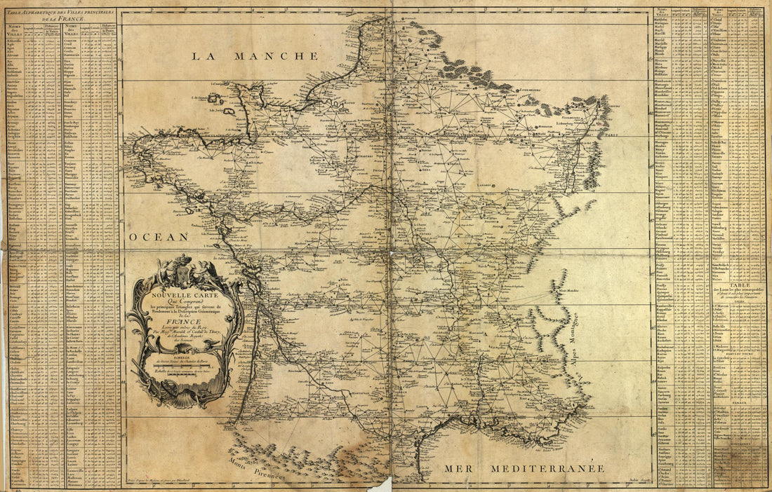 Nouvelle Carte Qui Comprend Les Principaux Triangles Qui Servent De Fondement à La Description Géométrique De La France 1744
- Regular price
-
$46.95 $99.95 - Regular price
-
$41.95 - Sale price
-
$46.95 $99.95
-
Plan of the Great Bay of Cul De Sac Royal, With the Town, and Environs of Port Royal, In the Island of Martinique, In Which Are Correctly Laid Down the Shoals, Soundings, Depths of Water, & Anchorage 1763
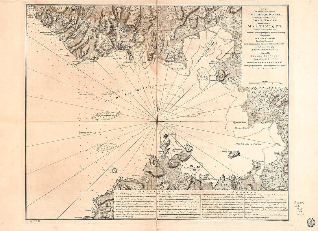 Plan of the Great Bay of Cul De Sac Royal, With the Town, and Environs of Port Royal, In the Island of Martinique, In Which Are Correctly Laid Down the Shoals, Soundings, Depths of Water, & Anchorage 1763
- Regular price
-
$43.95 $192.95 - Regular price
-
$32.95 - Sale price
-
$43.95 $192.95
-
Map Showing Position of German Army Geologic Stations, St. Mihiel Sector 1918
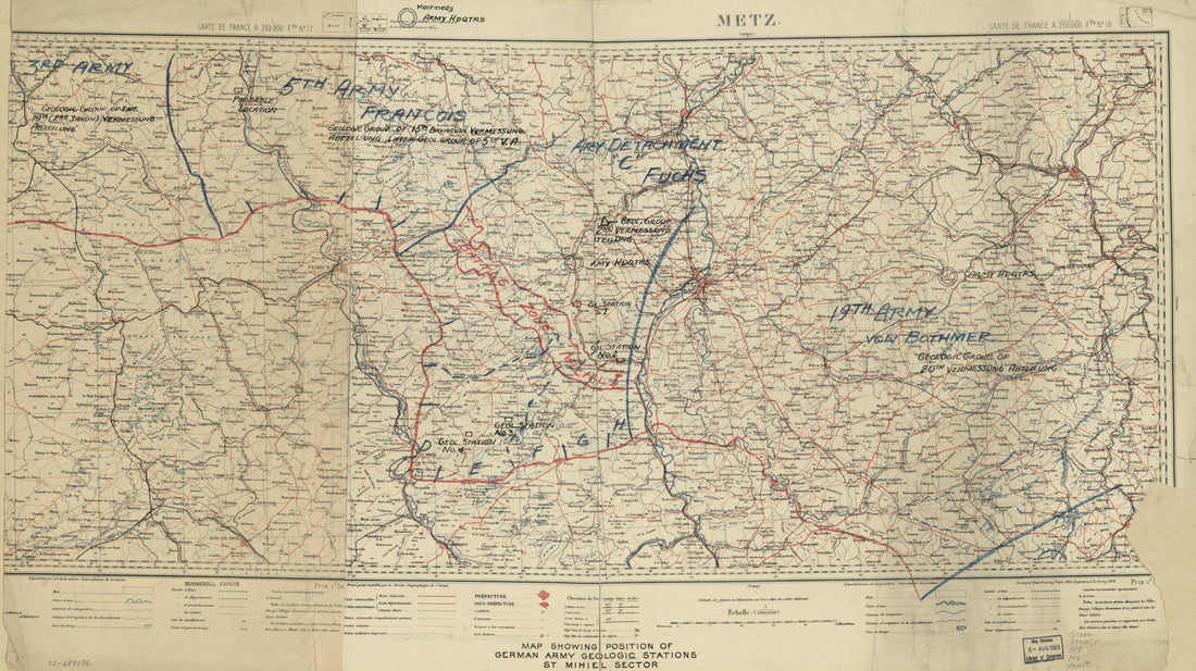 Map Showing Position of German Army Geologic Stations, St. Mihiel Sector 1918
- Regular price
-
$46.95 $99.95 - Regular price
-
$41.95 - Sale price
-
$46.95 $99.95


