1429 products
-
E. & G. W. Blunt's Corrected Map of the Seat of War Near Richmond, July 10th, in 1862
 E. & G. W. Blunt's Corrected Map of the Seat of War Near Richmond, July 10th, in 1862
- Regular price
-
From
$29.95 - Regular price
-
$46.95 - Sale price
-
From
$29.95
-
Map Showing the Operations of the Army of the Potomac Under Command of Mag. sic Gen. George G. Meade, : From March 29th to April 9th, in 1865
 Map Showing the Operations of the Army of the Potomac Under Command of Mag. sic Gen. George G. Meade, : From March 29th to April 9th, in 1865
- Regular price
-
From
$41.95 - Regular price
-
$66.99 - Sale price
-
From
$41.95
-
Topographical Map of the Original District of Columbia and Environs Showing the Fortifications Around the City of Washington 1862
 Topographical Map of the Original District of Columbia and Environs Showing the Fortifications Around the City of Washington 1862
- Regular price
-
From
$34.95 - Regular price
-
$49.99 - Sale price
-
From
$34.95
-
Plan of St. Lucia, In the West Indies: Shewing the Positions of the English and French Forces With the Attacks Made at Its Reduction In Decr. in 1778
 Plan of St. Lucia, In the West Indies: Shewing the Positions of the English and French Forces With the Attacks Made at Its Reduction In Decr. in 1778
- Regular price
-
From
$19.95 - Regular price
-
$29.95 - Sale price
-
From
$19.95
-
Map of a Part of the City of Richmond Showing the Burnt Districts in 1865
 Map of a Part of the City of Richmond Showing the Burnt Districts in 1865
- Regular price
-
From
$20.95 - Regular price
-
$32.95 - Sale price
-
From
$20.95
-
Plan Der Belagerung Von Maynz : Nebst Den Vorhergegangenen Positionen Bey Wickert Und Hochheim Im Jahr 1793 (Environs of Mayenz)
 Plan Der Belagerung Von Maynz : Nebst Den Vorhergegangenen Positionen Bey Wickert Und Hochheim Im Jahr 1793 (Environs of Mayenz)
- Regular price
-
From
$41.95 - Regular price
-
$66.99 - Sale price
-
From
$41.95
-
Plan of the Attack Made by Major Gen. Jackson On a Division of the British Army Commanded by Major Gen J. Keane On the 23rd December in 1814 at 7 O'clock at Night
 Plan of the Attack Made by Major Gen. Jackson On a Division of the British Army Commanded by Major Gen J. Keane On the 23rd December in 1814 at 7 O'clock at Night
- Regular price
-
From
$22.95 - Regular price
-
$36.95 - Sale price
-
From
$22.95
-
Plan of Fort Donelson and Its Outworks. Feb. 1862 in 1875
 Plan of Fort Donelson and Its Outworks. Feb. 1862 in 1875
- Regular price
-
From
$34.95 - Regular price
-
$49.99 - Sale price
-
From
$34.95
-
Military Map of the Middle and Southern States Showing the Seat of War During the Great Rebellion In 1861 in 1860
 Military Map of the Middle and Southern States Showing the Seat of War During the Great Rebellion In 1861 in 1860
- Regular price
-
From
$32.95 - Regular price
-
$51.99 - Sale price
-
From
$32.95
-
Map of the Region East and North of Baton Rouge, Showing Batteries On the Mississippi North of Port Hudson in 1863
 Map of the Region East and North of Baton Rouge, Showing Batteries On the Mississippi North of Port Hudson in 1863
- Regular price
-
From
$34.95 - Regular price
-
$49.99 - Sale price
-
From
$34.95
-
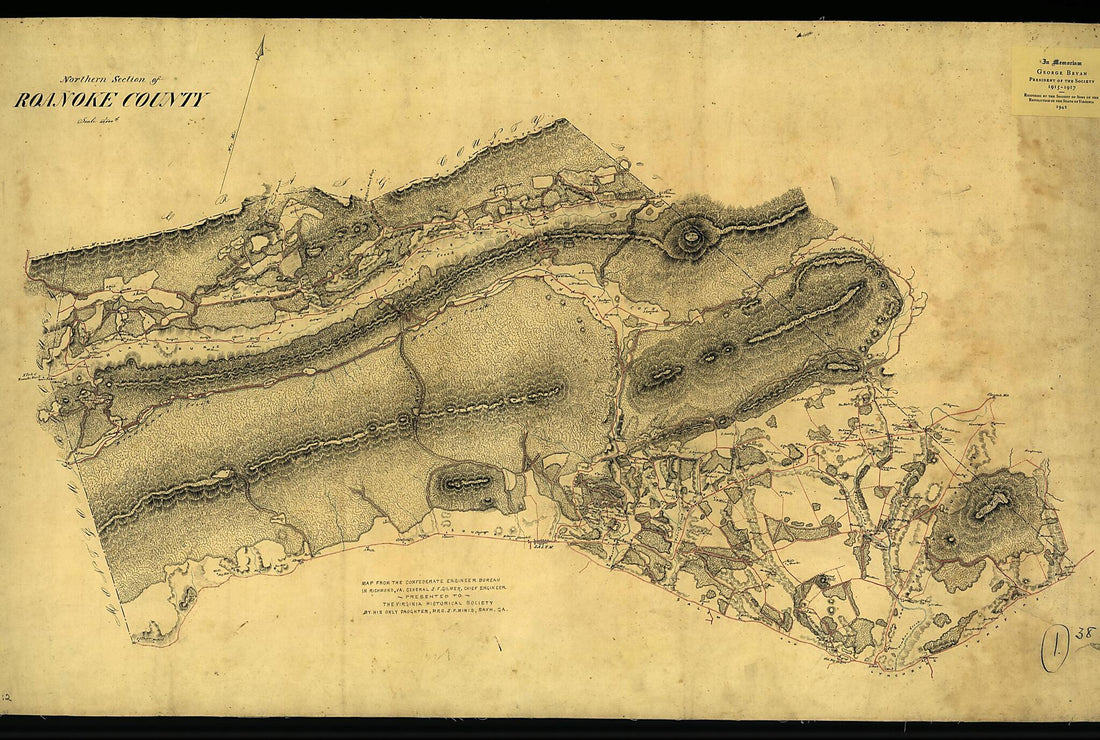
Northern Section of Roanoke County 1864
 Northern Section of Roanoke County 1864
- Regular price
-
From
$41.95 - Regular price
-
$66.99 - Sale price
-
From
$41.95
-
Rebel Defences, Mobile, Alabama, Occupied by Union Forces Under Maj. Gen. E.R.S. Canby Comdg 1866
 Rebel Defences, Mobile, Alabama, Occupied by Union Forces Under Maj. Gen. E.R.S. Canby Comdg 1866
- Regular price
-
From
$29.95 - Regular price
-
$46.95 - Sale price
-
From
$29.95


