4889 products
-
Civil War Proof Maps : United States 1862
 Civil War Proof Maps : United States 1862
- Regular price
-
$32.95 $83.95 - Regular price
-
$32.95 - Sale price
-
$32.95 $83.95
-
Tomlinson's Map of Port Hudson, Showing All of the Batteries, Strongholds, Principal Plantations &c 1863
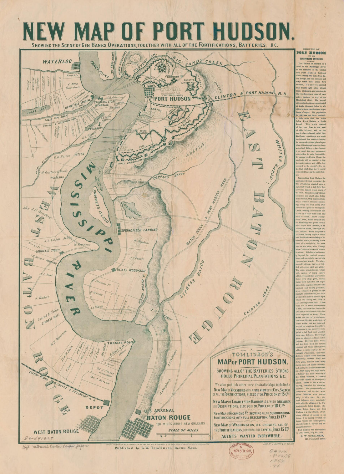 Tomlinson's Map of Port Hudson, Showing All of the Batteries, Strongholds, Principal Plantations &c 1863
- Regular price
-
$32.95 $83.95 - Regular price
-
$32.95 - Sale price
-
$32.95 $83.95
-
Combination Atlas Map of Logan County, Ohio 1875
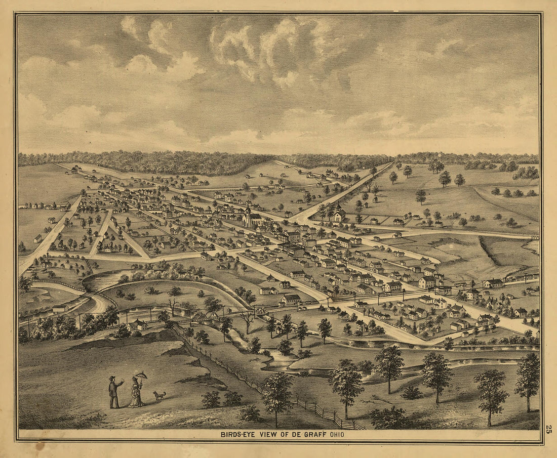 Combination Atlas Map of Logan County, Ohio 1875
- Regular price
-
$29.95 $78.95 - Regular price
-
$29.95 - Sale price
-
$29.95 $78.95
-
View of Vicksburg and Plan of the Canal, Fortifications & Vicinity 1863
 View of Vicksburg and Plan of the Canal, Fortifications & Vicinity 1863
- Regular price
-
$32.95 $83.95 - Regular price
-
$32.95 - Sale price
-
$32.95 $83.95
-
A. T. Andreas' Illustrated Historical Atlas of the State of Iowa. (Illustrated Historical Atlas of the State of Iowa) 1875
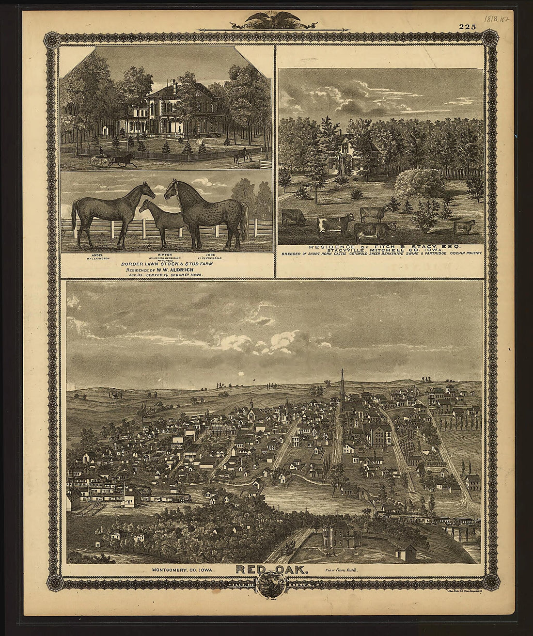 A. T. Andreas' Illustrated Historical Atlas of the State of Iowa. (Illustrated Historical Atlas of the State of Iowa) 1875
- Regular price
-
$30.95 $113.95 - Regular price
-
$30.95 - Sale price
-
$30.95 $113.95


