52 products
-
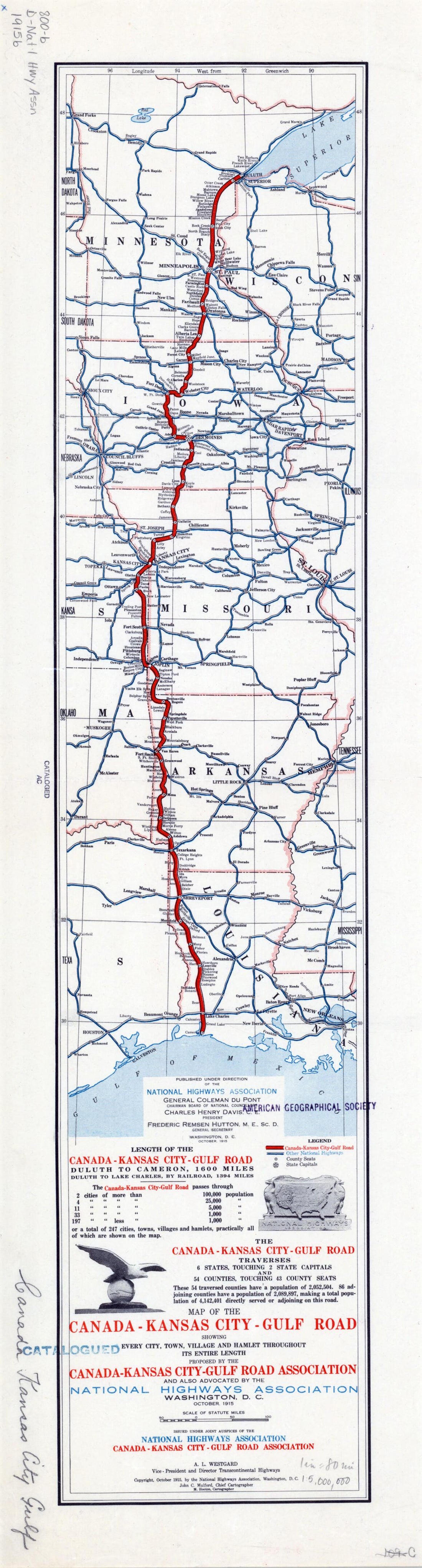 Kansas City--Gulf Road. (Kansas City-Gulf Road: Showing Every City, Town, Village and Hamlet Throughout Its Entire Length) 1915Kansas City--Gulf Road. (Kansas City-Gulf Road: Showing Every City, Town, Village and Hamlet Throughout Its Entire Length) 1915
- Regular price
-
$39.95 $99.95 - Regular price
-
$34.95 - Sale price
-
$39.95 $99.95
-
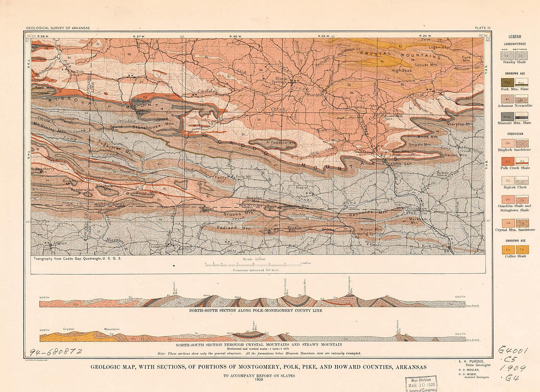 Geologic Map, With Sections, of Portions of Montgomery, Polk, Pike, and Howard Counties, Arkansas 1909Geologic Map, With Sections, of Portions of Montgomery, Polk, Pike, and Howard Counties, Arkansas 1909
- Regular price
-
$39.95 $88.95 - Regular price
-
$34.95 - Sale price
-
$39.95 $88.95
-
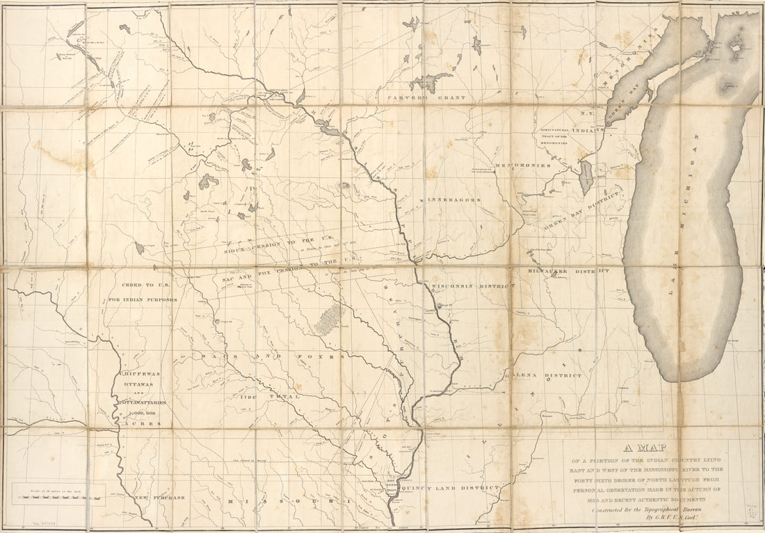 A Map of a Portion of the Indian Country Lying East and West of the Mississippi River to the Forty Sixth Degree of North Latitude From Personal Observation Made In the Autumn of 1835 and Recent Authentic Documents in 1836A Map of a Portion of the Indian Country Lying East and West of the Mississippi River to the Forty Sixth Degree of North Latitude From Personal Observation Made In the Autumn of 1835 and Recent Authentic Documents in 1836
- Regular price
-
$46.95 $187.95 - Regular price
-
$41.95 - Sale price
-
$46.95 $187.95
-
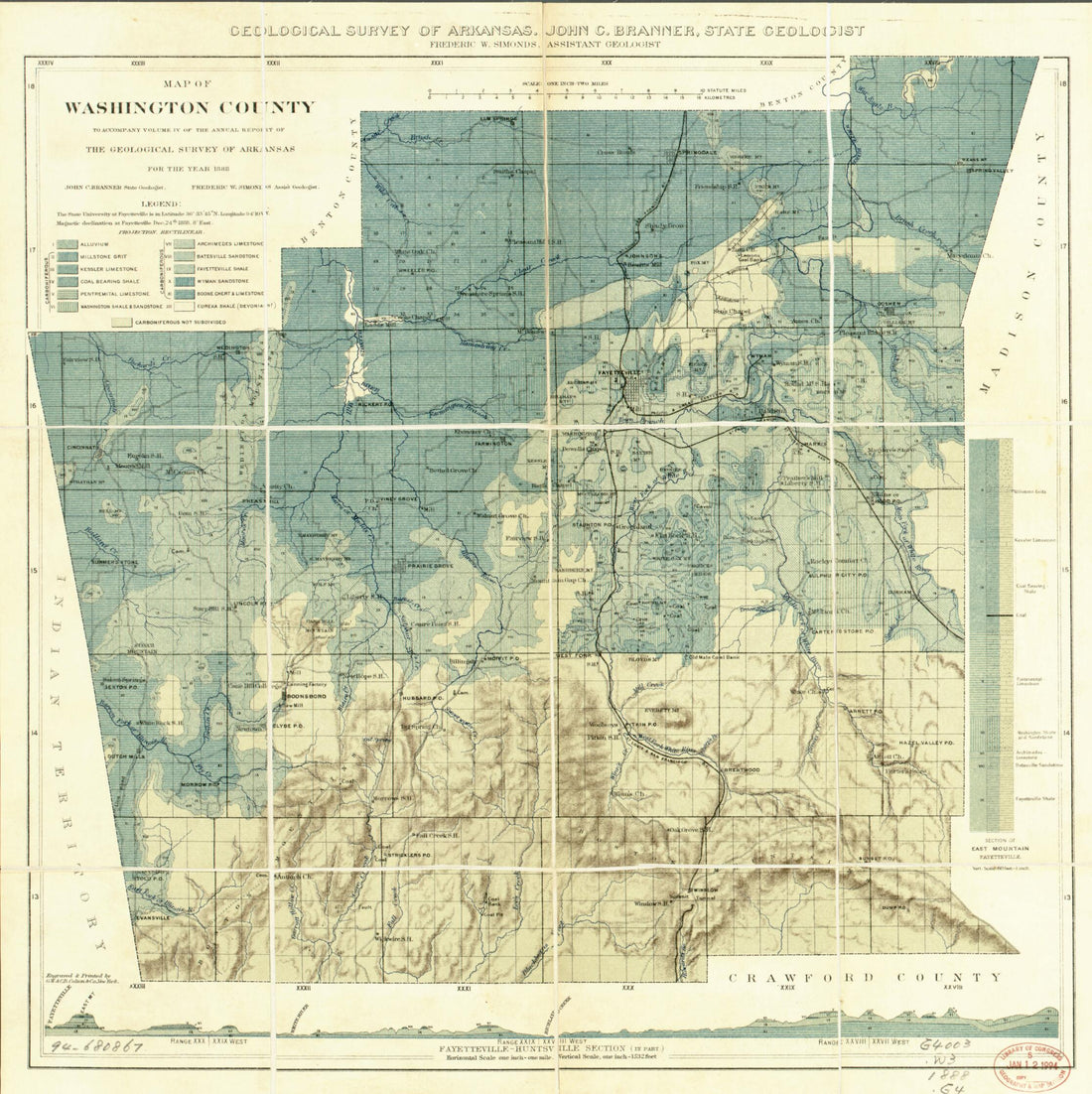 Map of Washington County in 1888Map of Washington County in 1888
- Regular price
-
$43.95 $83.95 - Regular price
-
$38.95 - Sale price
-
$43.95 $83.95
-
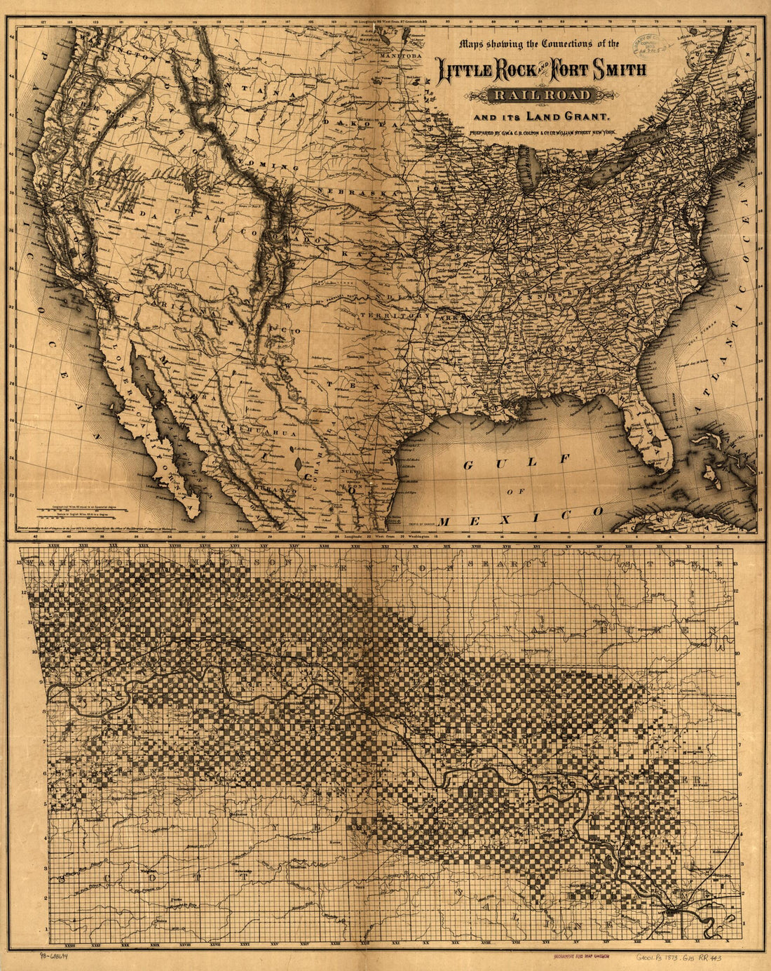 Maps Showing the Connections of the Little Rock and Fort Smith Railroad and Its Land Grant 1873Maps Showing the Connections of the Little Rock and Fort Smith Railroad and Its Land Grant 1873
- Regular price
-
$43.95 $87.95 - Regular price
-
$38.95 - Sale price
-
$43.95 $87.95
-
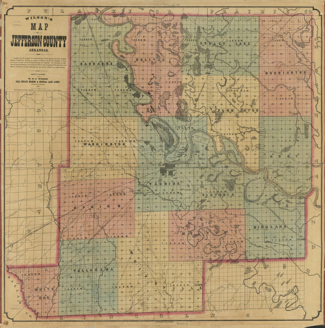 Wilson's Map of Jefferson County, Arkansas / Drawn and Published by W.H.D. Wilson, Real Estate Broker & General Land Agent. (Map of Jefferson County, Arkansas) 1872Wilson's Map of Jefferson County, Arkansas / Drawn and Published by W.H.D. Wilson, Real Estate Broker & General Land Agent. (Map of Jefferson County, Arkansas) 1872
- Regular price
-
$43.95 $149.95 - Regular price
-
$38.95 - Sale price
-
$43.95 $149.95
-
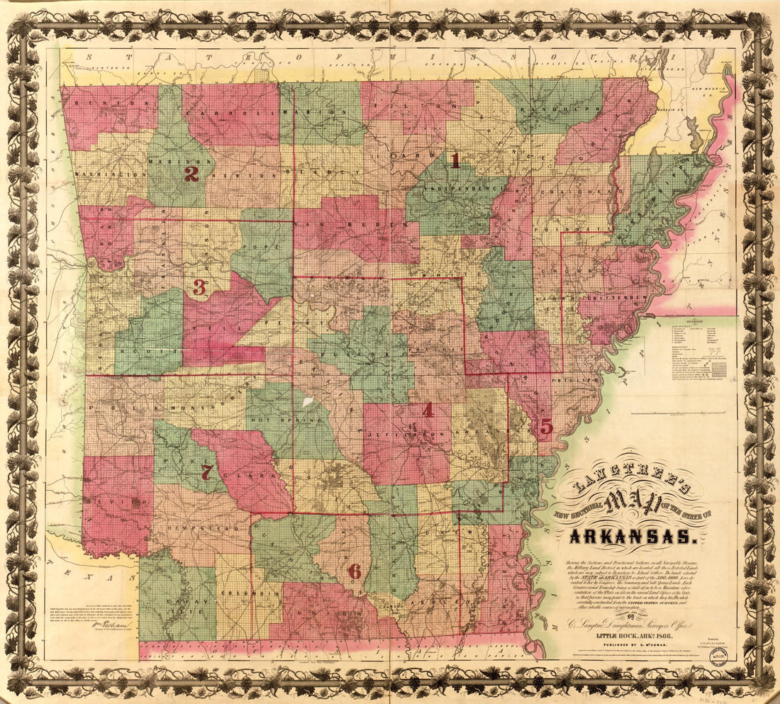 Langtree's New Sectional Map of the State of Arkansas in 1866Langtree's New Sectional Map of the State of Arkansas in 1866
- Regular price
-
$43.95 $161.95 - Regular price
-
$38.95 - Sale price
-
$43.95 $161.95
-
 Map of Franklin County, Arkansas; Showing the Land Grant of the Little Rock & Fort Smith Railway 1893Map of Franklin County, Arkansas; Showing the Land Grant of the Little Rock & Fort Smith Railway 1893
- Regular price
-
$46.95 $102.95 - Regular price
-
$41.95 - Sale price
-
$46.95 $102.95
-
 Cram's Township and Rail Road Map of Arkansas 1895Cram's Township and Rail Road Map of Arkansas 1895
- Regular price
-
$43.95 $95.95 - Regular price
-
$38.95 - Sale price
-
$43.95 $95.95
-
 State of Arkansas 1886State of Arkansas 1886
- Regular price
-
$43.95 $214.95 - Regular price
-
$38.95 - Sale price
-
$43.95 $214.95
-
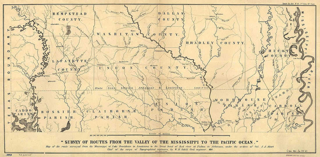 Map of the Route Surveyed from the Mississippi at Lake Providence In Louisiana to the Great Bend of Red River at Fulton In Arkansas 1850Map of the Route Surveyed from the Mississippi at Lake Providence In Louisiana to the Great Bend of Red River at Fulton In Arkansas 1850
- Regular price
-
$46.95 $111.95 - Regular price
-
$41.95 - Sale price
-
$46.95 $111.95
-
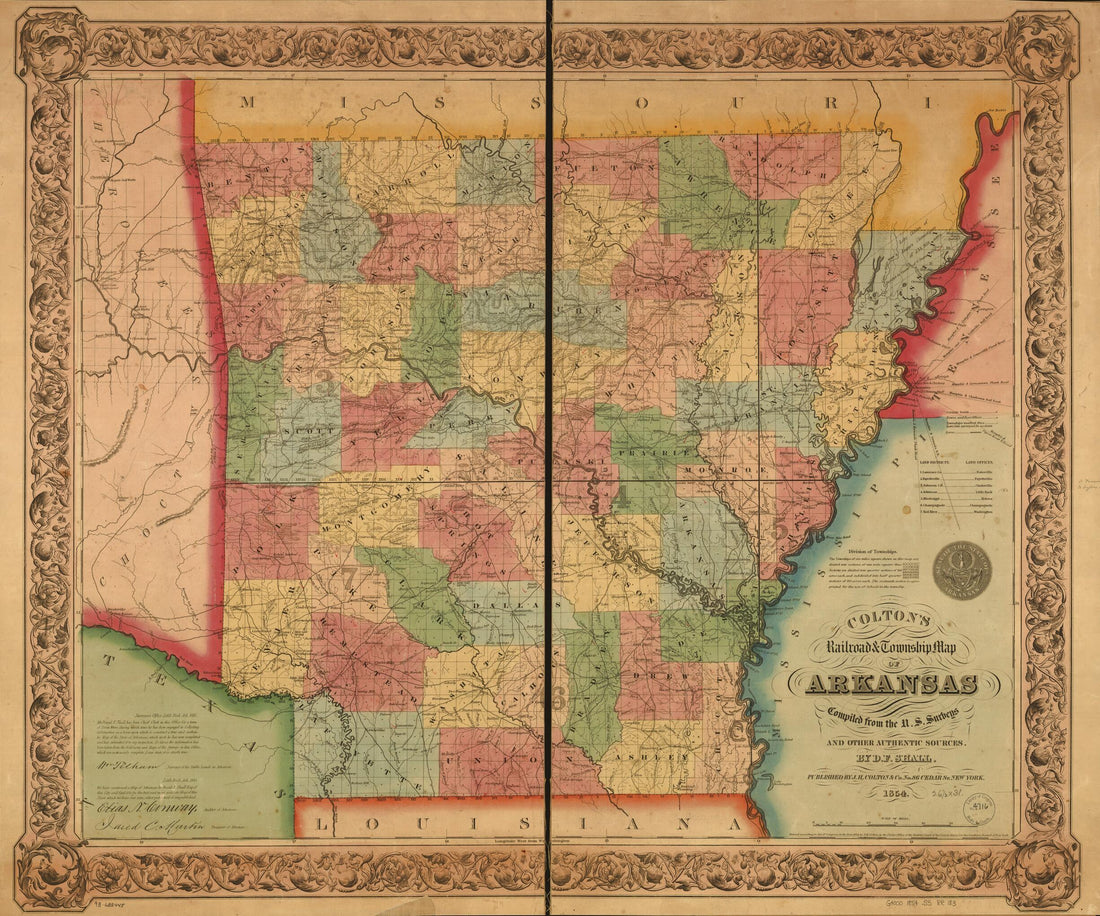 Colton's Railroad & Township Map of Arkansas Compiled from the U.S. Surveys and Other Authentic Sources 1854Colton's Railroad & Township Map of Arkansas Compiled from the U.S. Surveys and Other Authentic Sources 1854
- Regular price
-
$43.95 $95.95 - Regular price
-
$38.95 - Sale price
-
$43.95 $95.95


