725 products
-
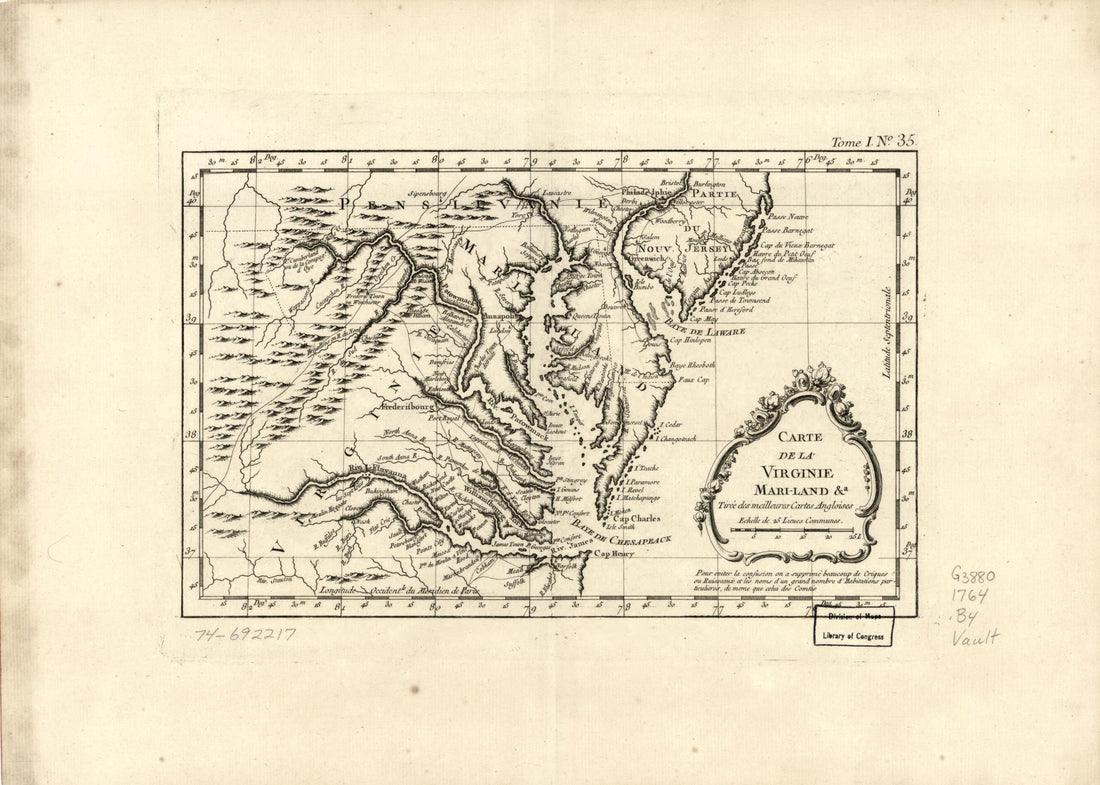 Land &a 1764Land &a 1764
- Regular price
-
$39.95 $88.95 - Regular price
-
$29.95 - Sale price
-
$39.95 $88.95
-
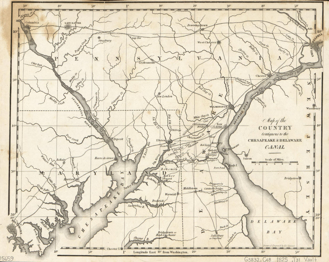 Map of the Country Contiguous to the Chesapeake & Delaware Canal 1825Map of the Country Contiguous to the Chesapeake & Delaware Canal 1825
- Regular price
-
$39.95 $83.95 - Regular price
-
$29.95 - Sale price
-
$39.95 $83.95
-
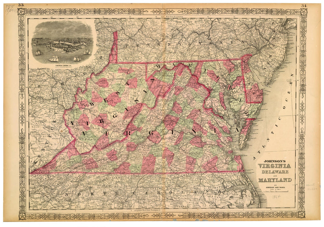 Johnson's Virginia, Delaware and Maryland 1864Johnson's Virginia, Delaware and Maryland 1864
- Regular price
-
$46.95 $99.95 - Regular price
-
$41.95 - Sale price
-
$46.95 $99.95
-
 Maps of the Environs of Forts Franklin, Alexander, and Ripley, In Montgomery County, Maryland 1860Maps of the Environs of Forts Franklin, Alexander, and Ripley, In Montgomery County, Maryland 1860
- Regular price
-
$39.95 $83.95 - Regular price
-
$34.95 - Sale price
-
$39.95 $83.95
-
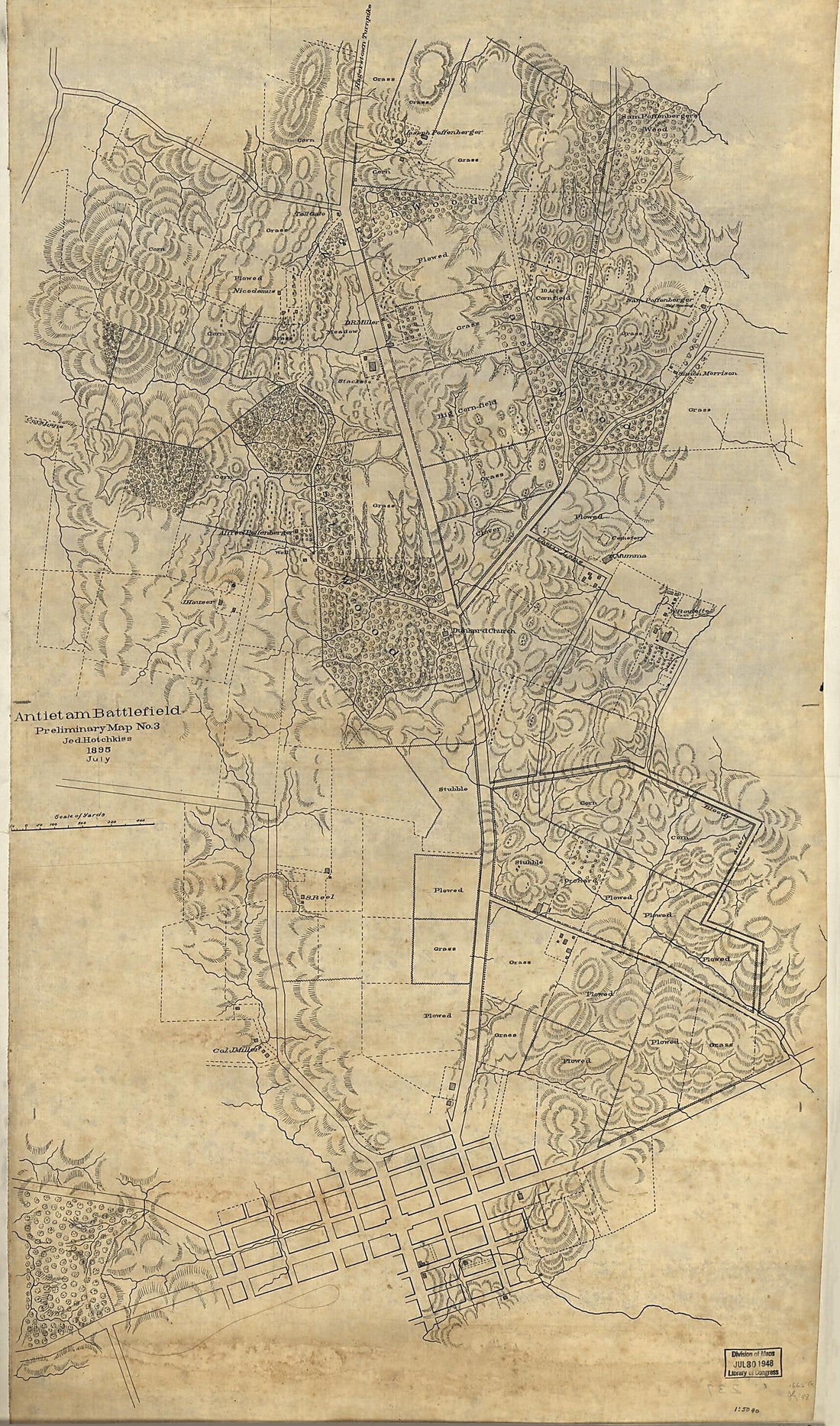 Antietam Battlefield : Preliminary Map No. 3 1895Antietam Battlefield : Preliminary Map No. 3 1895
- Regular price
-
$46.95 $172.95 - Regular price
-
$41.95 - Sale price
-
$46.95 $172.95
-
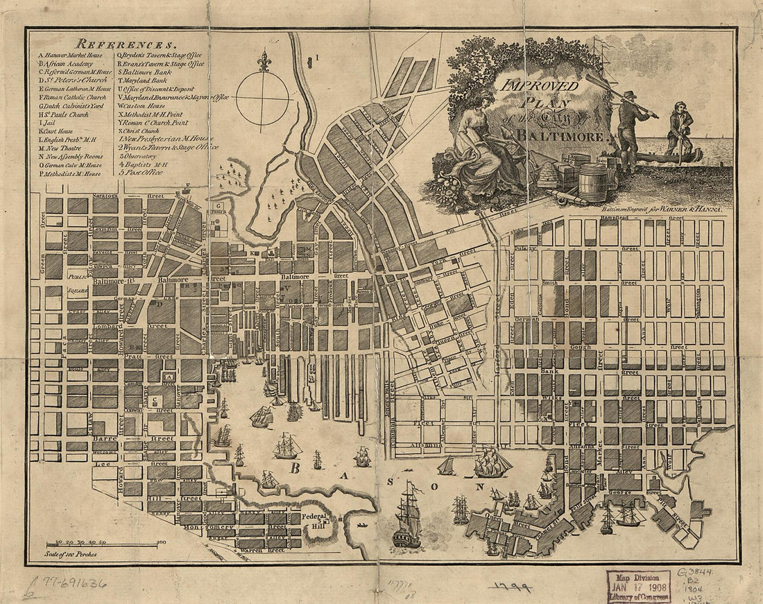 Improved Plan of the City of Baltimore 1804Improved Plan of the City of Baltimore 1804
- Regular price
-
$39.95 $83.95 - Regular price
-
$29.95 - Sale price
-
$39.95 $83.95
-
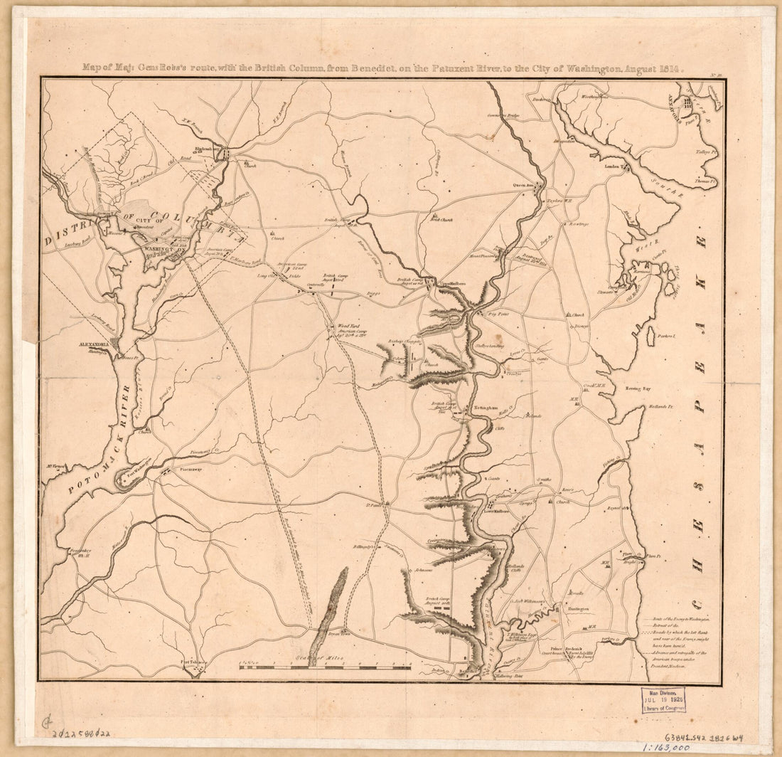 Map of Maj. Gen. Ross's Route With the British Column From Benedict On the Patuxent River to the City of Washington August in 1814Map of Maj. Gen. Ross's Route With the British Column From Benedict On the Patuxent River to the City of Washington August in 1814
- Regular price
-
$39.95 $83.95 - Regular price
-
$32.95 - Sale price
-
$39.95 $83.95
-
 Birds' Eye View of the Camp of the 67th Reg't P.V. Annapolis, Md. : On the Ground Occupied by the Troops of Washington & Lafayette 1863Birds' Eye View of the Camp of the 67th Reg't P.V. Annapolis, Md. : On the Ground Occupied by the Troops of Washington & Lafayette 1863
- Regular price
-
$43.95 $88.95 - Regular price
-
$32.95 - Sale price
-
$43.95 $88.95
-
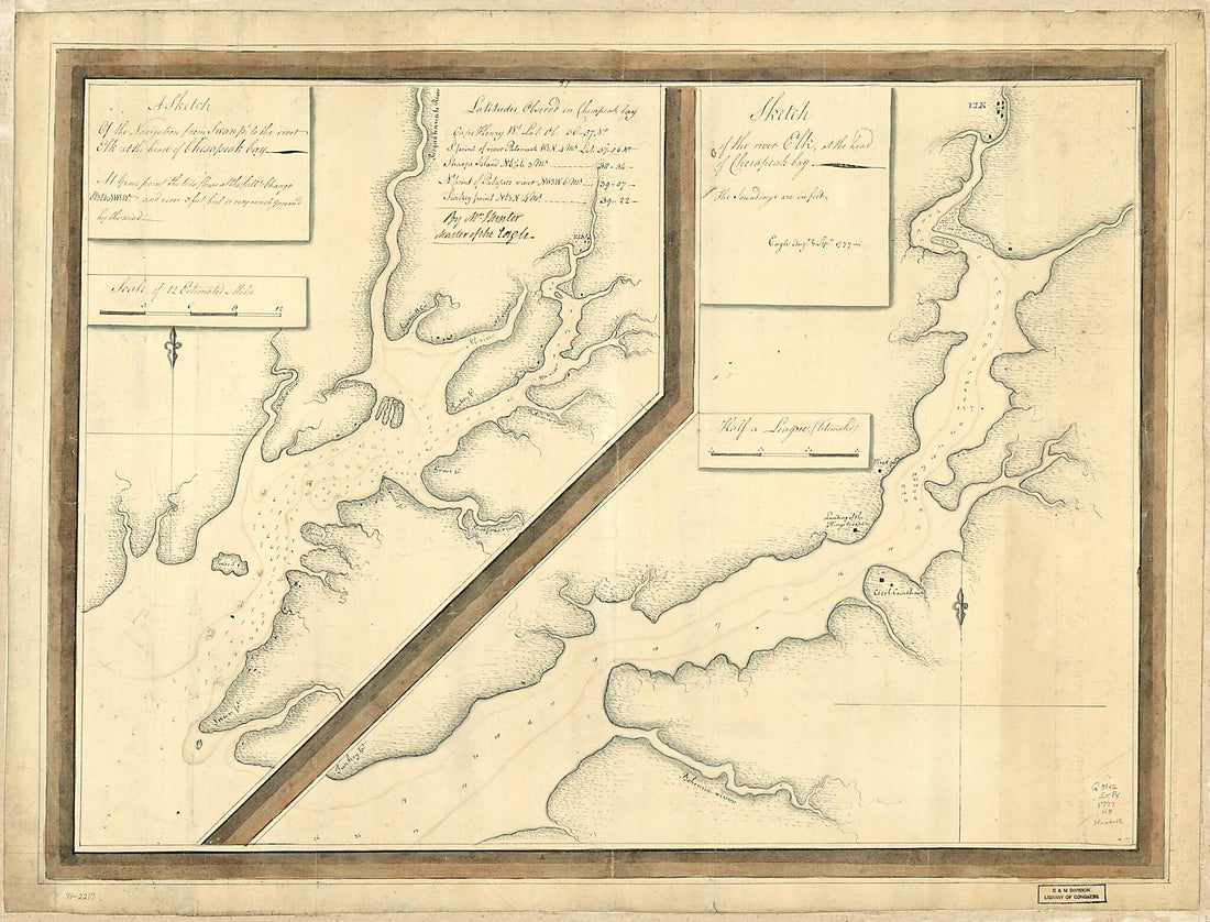 A Sketch of the Navigation from Swan Pt. to the River Elk at the Head of Chesapeak Bay. Sketch of the River Elk, at the Head of Chesapeak Bay 1777A Sketch of the Navigation from Swan Pt. to the River Elk at the Head of Chesapeak Bay. Sketch of the River Elk, at the Head of Chesapeak Bay 1777
- Regular price
-
$43.95 $156.95 - Regular price
-
$32.95 - Sale price
-
$43.95 $156.95
-
 A Map of Washington County, Maryland. Exhibiting the Farms, Election Districts, Towns, Villages, Roads, Etc., Etc 1859A Map of Washington County, Maryland. Exhibiting the Farms, Election Districts, Towns, Villages, Roads, Etc., Etc 1859
- Regular price
-
$39.95 $207.95 - Regular price
-
$34.95 - Sale price
-
$39.95 $207.95
-
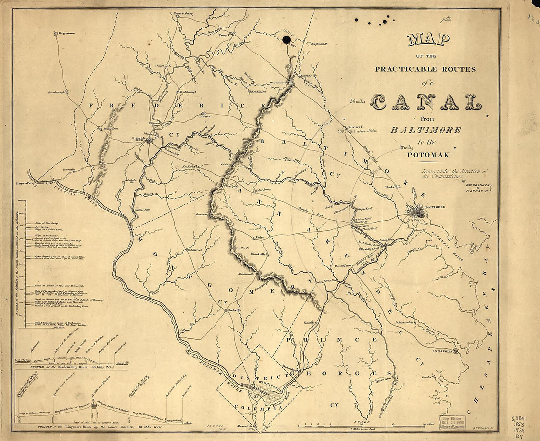 Map of the Practicable Routes of a Canal from Baltimore to the Potomak 1838Map of the Practicable Routes of a Canal from Baltimore to the Potomak 1838
- Regular price
-
$39.95 $83.95 - Regular price
-
$34.95 - Sale price
-
$39.95 $83.95
-
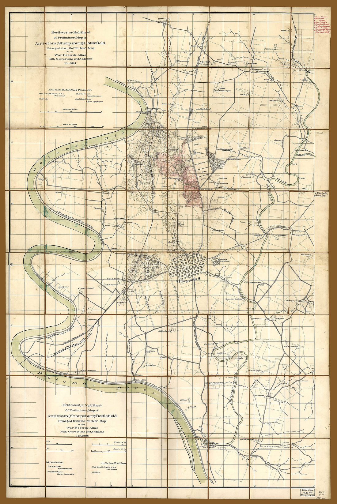 Northwest, Or No. 1 Sheet of Preliminary Map of Antietam (Sharpsburg) Battlefield ; Southwest, Or No. 2 Sheet of Preliminary Map of Antietam (Sharpsburg) Battlefield (5) 1894Northwest, Or No. 1 Sheet of Preliminary Map of Antietam (Sharpsburg) Battlefield ; Southwest, Or No. 2 Sheet of Preliminary Map of Antietam (Sharpsburg) Battlefield (5) 1894
- Regular price
-
$46.95 $152.95 - Regular price
-
$41.95 - Sale price
-
$46.95 $152.95


