90 products
-
The North American Indian In the World War in 1925
 The North American Indian In the World War in 1925
- Regular price
-
From
$34.95 - Regular price
-
$49.99 - Sale price
-
From
$34.95
-
Atlas and Farmers' Directory of Fillmore County, Minnesota : Containing Plats of All Townships With Owners' Names, Also an Outline Map of the County, Compiled from Latest Data On Record 1928
 Atlas and Farmers' Directory of Fillmore County, Minnesota : Containing Plats of All Townships With Owners' Names, Also an Outline Map of the County, Compiled from Latest Data On Record 1928
- Regular price
-
From
$19.95 - Regular price
-
$29.95 - Sale price
-
From
$19.95
-
General Map of Redwood County, Minnesota in 1898
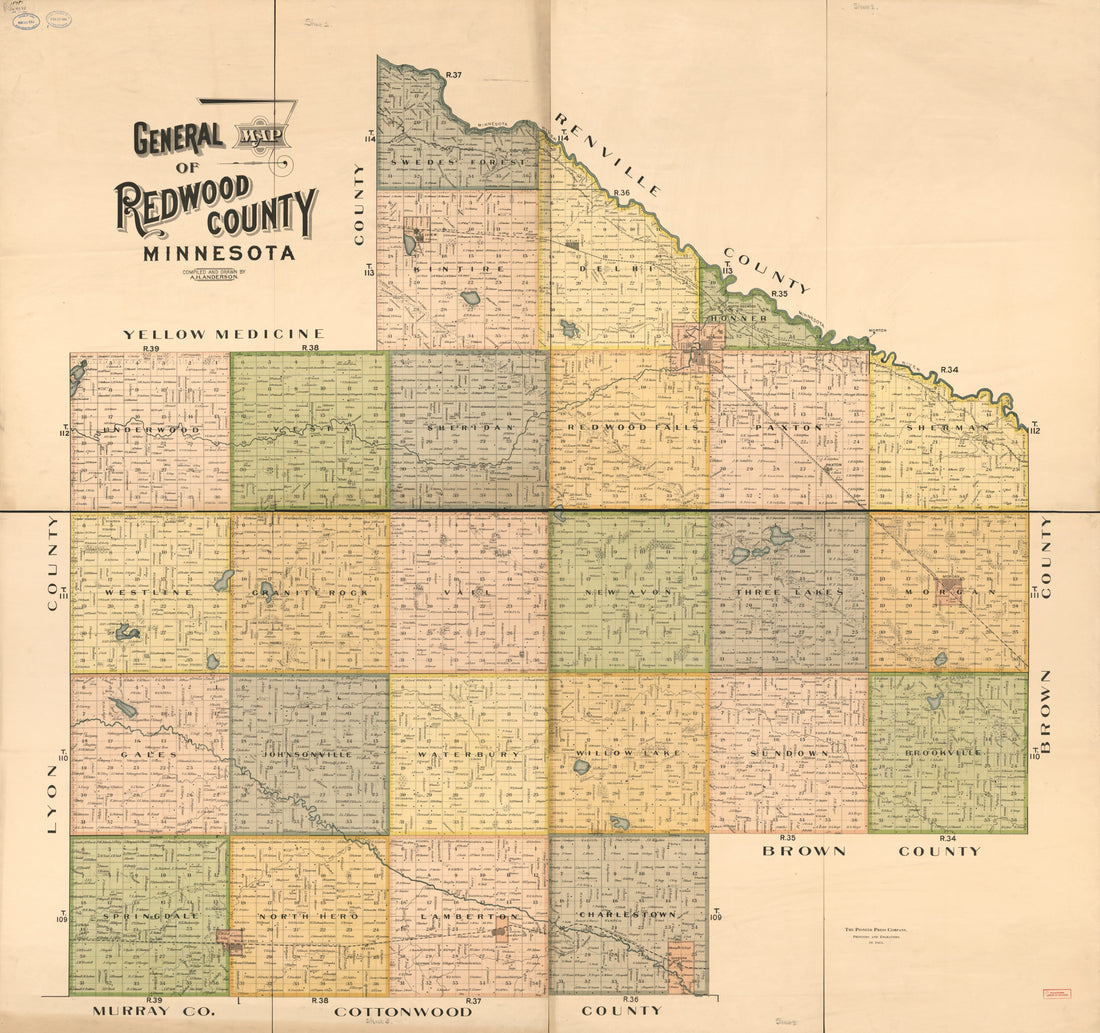 General Map of Redwood County, Minnesota in 1898
- Regular price
-
From
$34.95 - Regular price
-
$49.99 - Sale price
-
From
$34.95
-
Map of Watonwan County, Minnesota : Compiled and Drawn From a Special Survey and Official Records in 1898
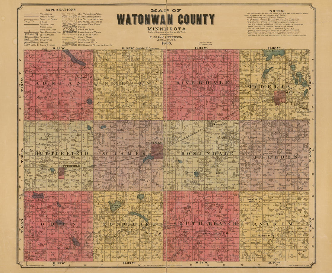 Map of Watonwan County, Minnesota : Compiled and Drawn From a Special Survey and Official Records in 1898
- Regular price
-
From
$34.95 - Regular price
-
$49.99 - Sale price
-
From
$34.95
-
Map of Minnesota Territority (Map of Minnesota) 1852
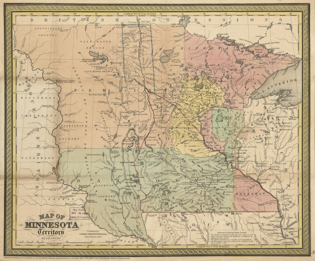 Map of Minnesota Territority (Map of Minnesota) 1852
- Regular price
-
From
$23.95 - Regular price
-
$37.95 - Sale price
-
From
$23.95
-
Map of Ramsey and Washington Counties : With Adjacent Portions of Anoka, Dakota & Hennepin Counties, Minnesota, and Parts of St. Croix & Pierce Counties, Minnesota in 1887
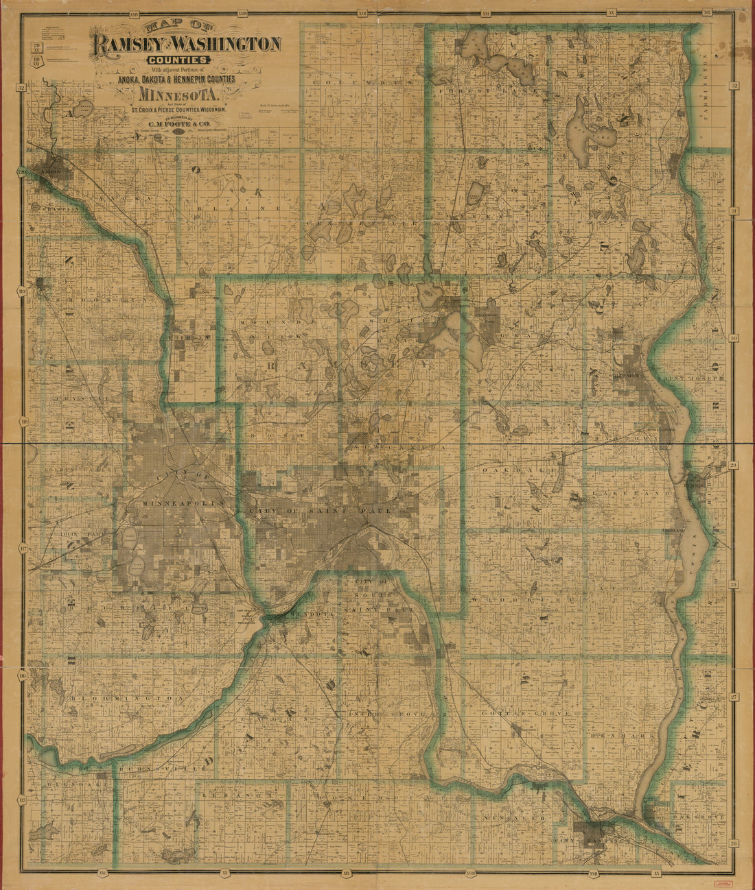 Map of Ramsey and Washington Counties : With Adjacent Portions of Anoka, Dakota & Hennepin Counties, Minnesota, and Parts of St. Croix & Pierce Counties, Minnesota in 1887
- Regular price
-
From
$34.95 - Regular price
-
$49.99 - Sale price
-
From
$34.95
-
Curtice & Potts' Standard Map of Ramsey Co., Minnesota in 1885
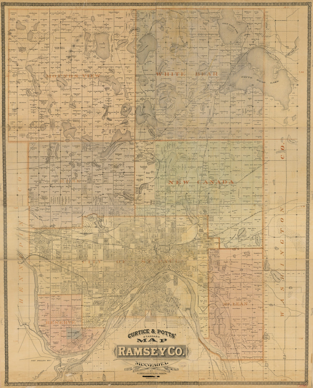 Curtice & Potts' Standard Map of Ramsey Co., Minnesota in 1885
- Regular price
-
From
$34.95 - Regular price
-
$49.99 - Sale price
-
From
$34.95
-
Map of Isanti County : With Adjacent Portions of Chisago, Anoka, Sherburne, and Mille Lacs Counties, Minnesota in 1898
 Map of Isanti County : With Adjacent Portions of Chisago, Anoka, Sherburne, and Mille Lacs Counties, Minnesota in 1898
- Regular price
-
From
$34.95 - Regular price
-
$49.99 - Sale price
-
From
$34.95
-
Division Plats, County Map, Government Surveys, Patrons Directory, Minnesota History, County Officers, City and Village Officers, Etc 1928
 Division Plats, County Map, Government Surveys, Patrons Directory, Minnesota History, County Officers, City and Village Officers, Etc 1928
- Regular price
-
From
$19.95 - Regular price
-
$29.95 - Sale price
-
From
$19.95
-
National Highways Preliminary Map of the State of Minnesota. (six Hundred Miles of National Highways) 1916
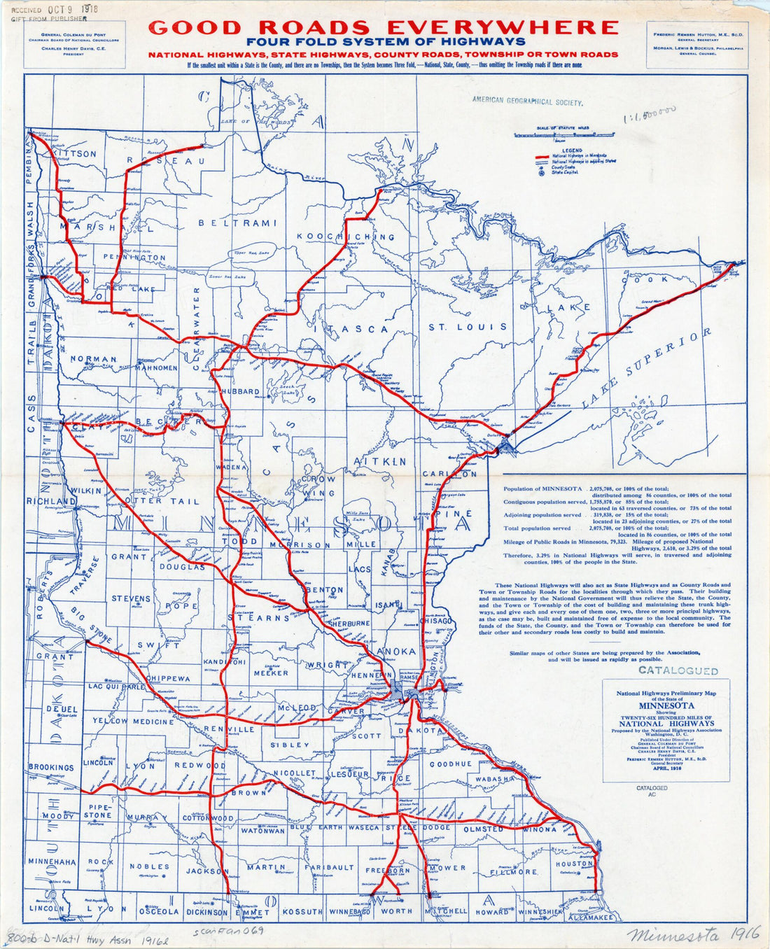 National Highways Preliminary Map of the State of Minnesota. (six Hundred Miles of National Highways) 1916
- Regular price
-
From
$34.95 - Regular price
-
$49.99 - Sale price
-
From
$34.95
-
Brainerd, City of Mines. 1914
 Brainerd, City of Mines. 1914
- Regular price
-
From
$32.95 - Regular price
-
$51.99 - Sale price
-
From
$32.95
-
Map of the City of Saint Paul, Capital of Minnesota 1852
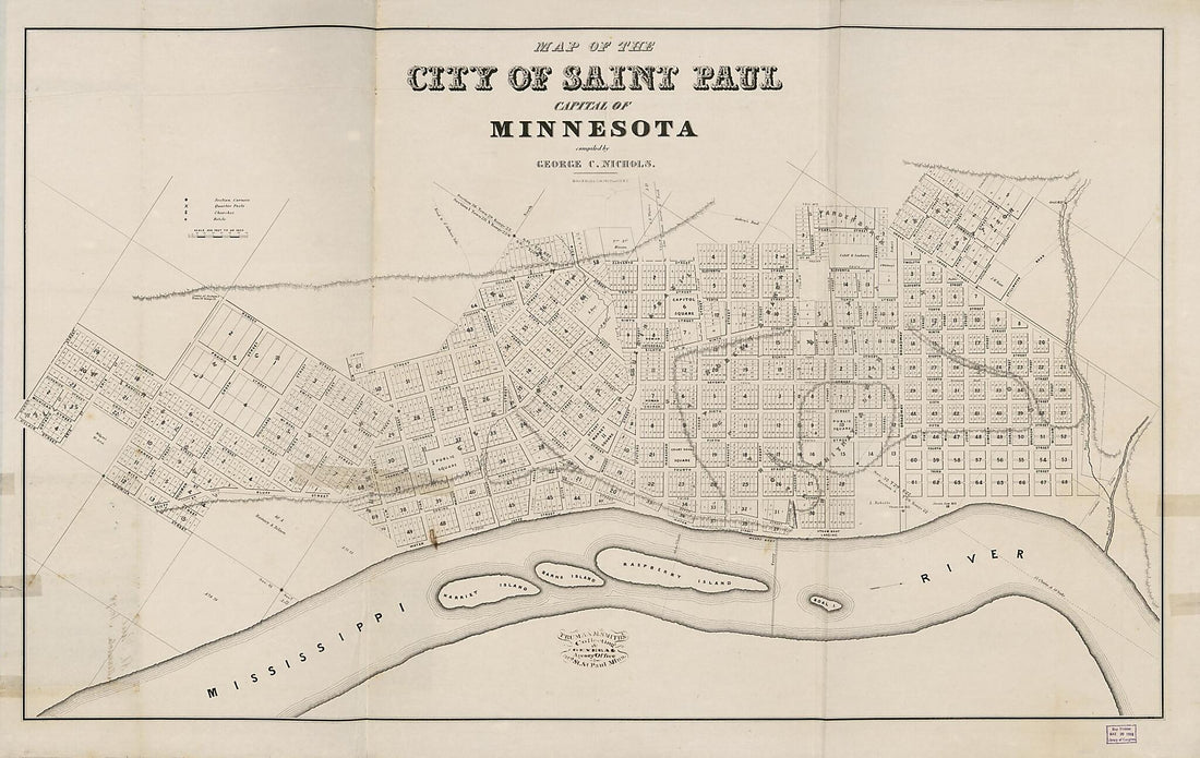 Map of the City of Saint Paul, Capital of Minnesota 1852
- Regular price
-
From
$41.95 - Regular price
-
$66.99 - Sale price
-
From
$41.95


