747 products
-
Plan of Forts Green, Laurence & Swift and Lines of Intrenchments Constructed In the Vicinity of Brooklyn for the Defence of the City of New York 1814
 Plan of Forts Green, Laurence & Swift and Lines of Intrenchments Constructed In the Vicinity of Brooklyn for the Defence of the City of New York 1814
- Regular price
-
From
$34.95 - Regular price
-
$49.99 - Sale price
-
From
$34.95
-
York. (New York City Map) 1862
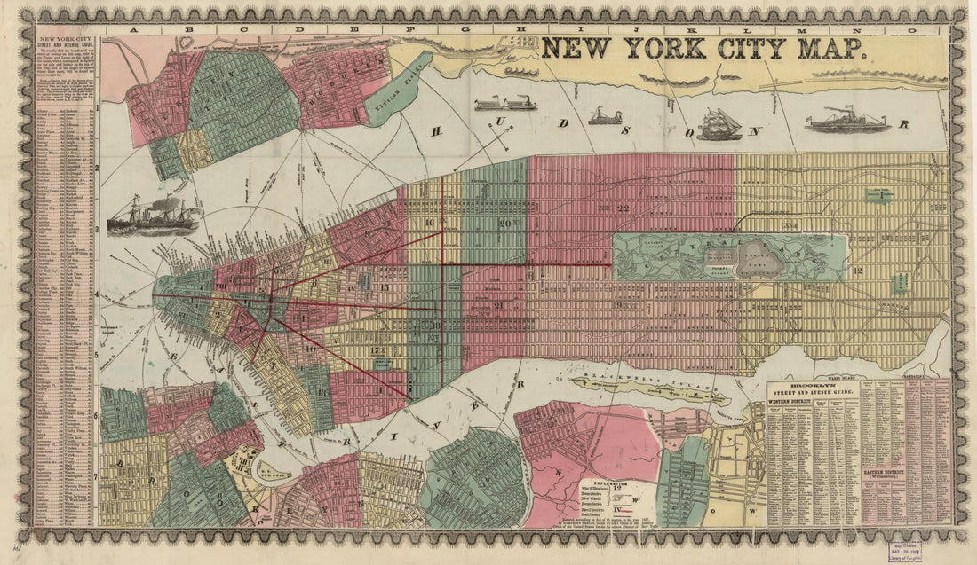 York. (New York City Map) 1862
- Regular price
-
From
$41.95 - Regular price
-
$66.99 - Sale price
-
From
$41.95
-
Map of the State of New York With Part of the States of Pennsylvania, New Jersey &c in 1817
 Map of the State of New York With Part of the States of Pennsylvania, New Jersey &c in 1817
- Regular price
-
From
$34.95 - Regular price
-
$49.99 - Sale price
-
From
$34.95
-
Chester Hill, Mount Vernon, Westchester Co., New York; 13 Miles from the Grand Central Depot, 42nd St., New York, On the Line of the New Haven Rail Road 1890
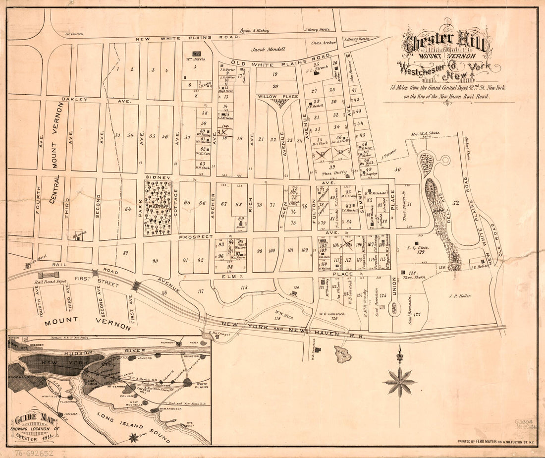 Chester Hill, Mount Vernon, Westchester Co., New York; 13 Miles from the Grand Central Depot, 42nd St., New York, On the Line of the New Haven Rail Road 1890
- Regular price
-
From
$34.95 - Regular price
-
$49.99 - Sale price
-
From
$34.95
-
Map of St. Lawrence Co. New York in 1858
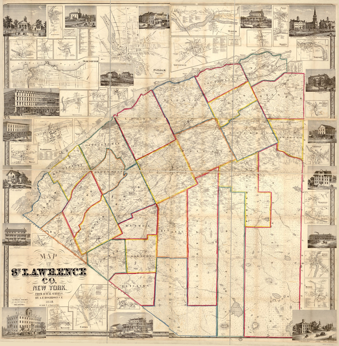 Map of St. Lawrence Co. New York in 1858
- Regular price
-
From
$34.95 - Regular price
-
$49.99 - Sale price
-
From
$34.95
-
Map of the Business Portion of New York City Below Madison Square : 1870. (Map Showing the Location of the Different Steamship, Steamboat, and Railroad Piers)
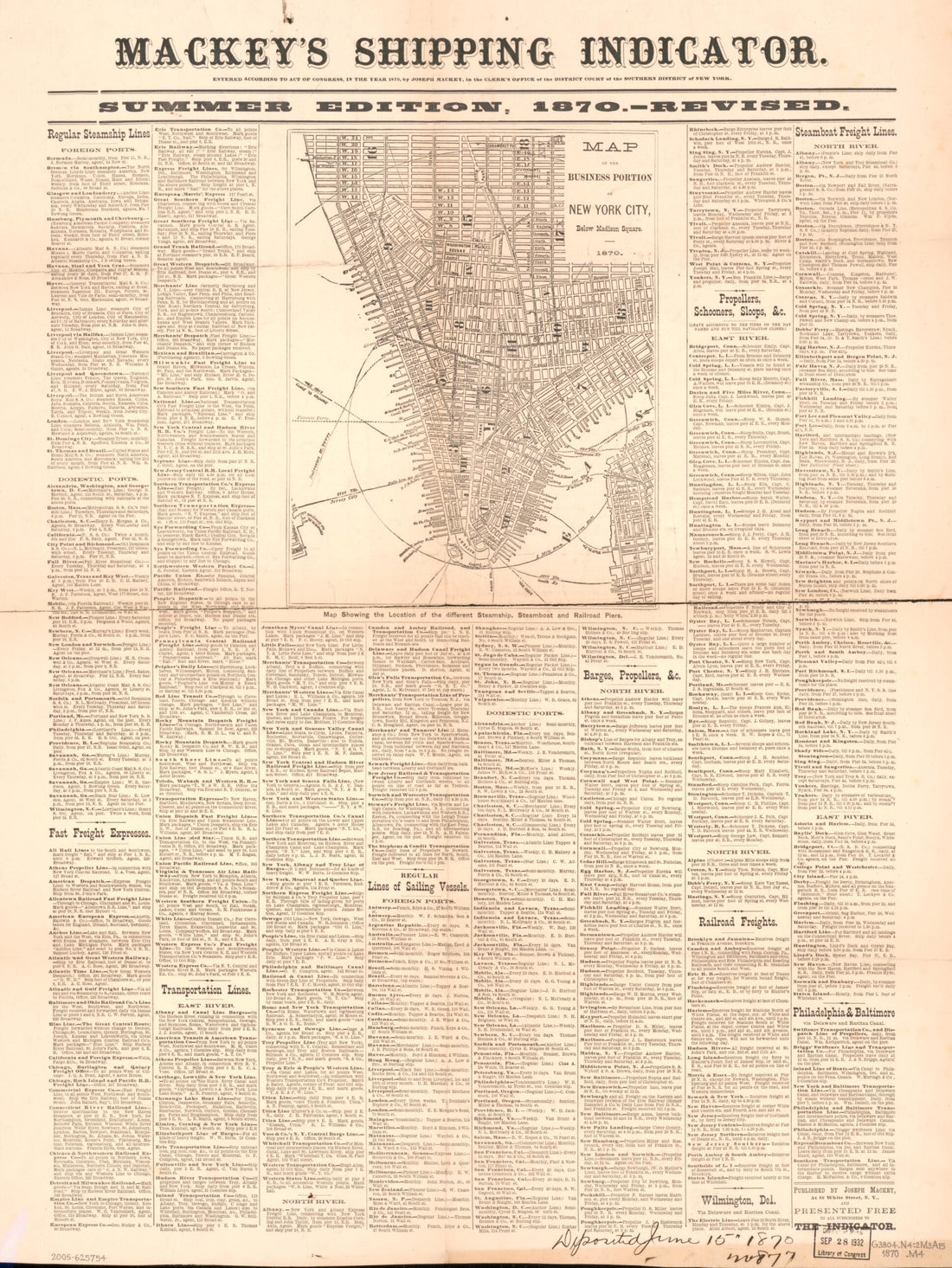 Map of the Business Portion of New York City Below Madison Square : 1870. (Map Showing the Location of the Different Steamship, Steamboat, and Railroad Piers)
- Regular price
-
From
$32.95 - Regular price
-
$51.99 - Sale price
-
From
$32.95
-
Railroad Map of the State of New York to Accompany the Twelfth Annual Report of the Board of Railroad Commissioners of the State of New York, 1894
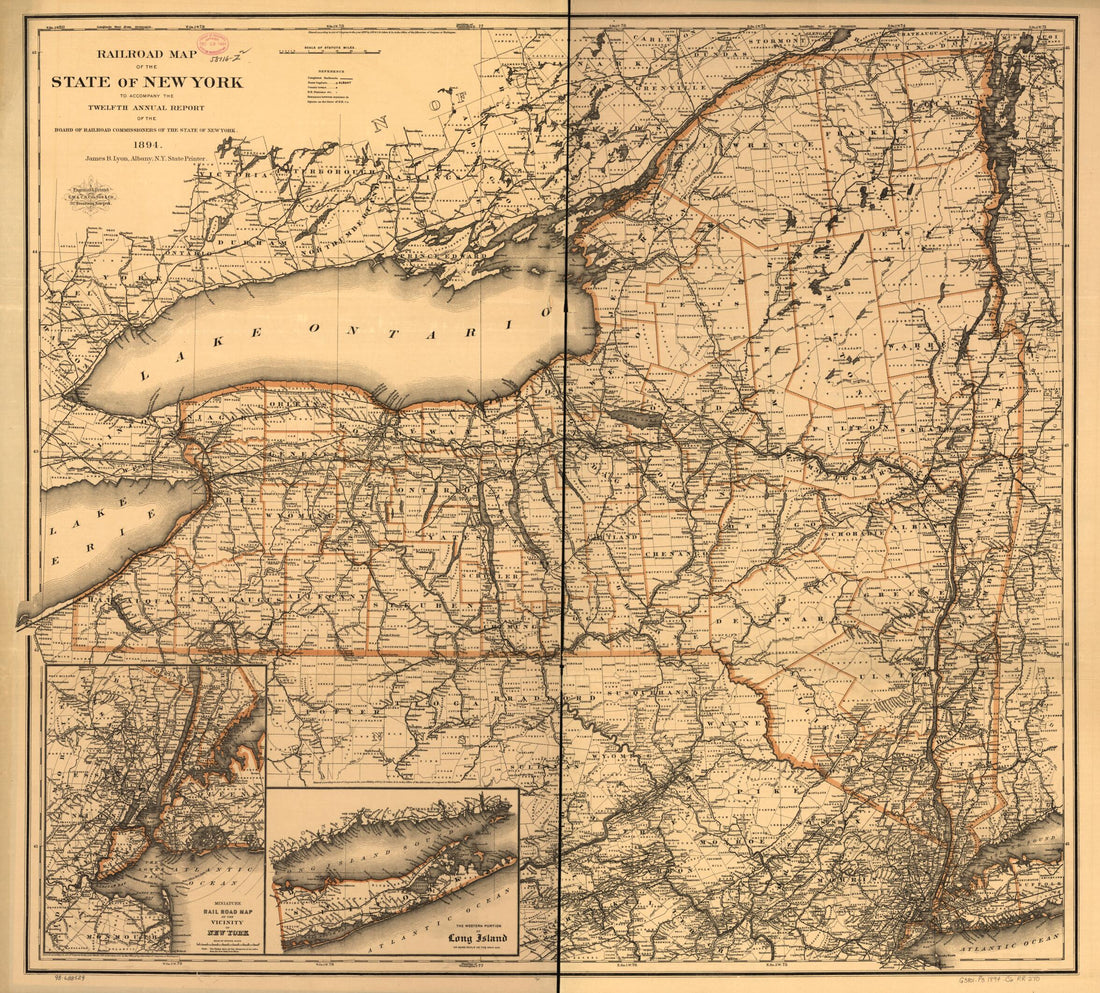 Railroad Map of the State of New York to Accompany the Twelfth Annual Report of the Board of Railroad Commissioners of the State of New York, 1894
- Regular price
-
From
$34.95 - Regular price
-
$49.99 - Sale price
-
From
$34.95
-
Map of the Niagara Falls Region, Including the Niagara River and the Niagara Peninsula in 1790
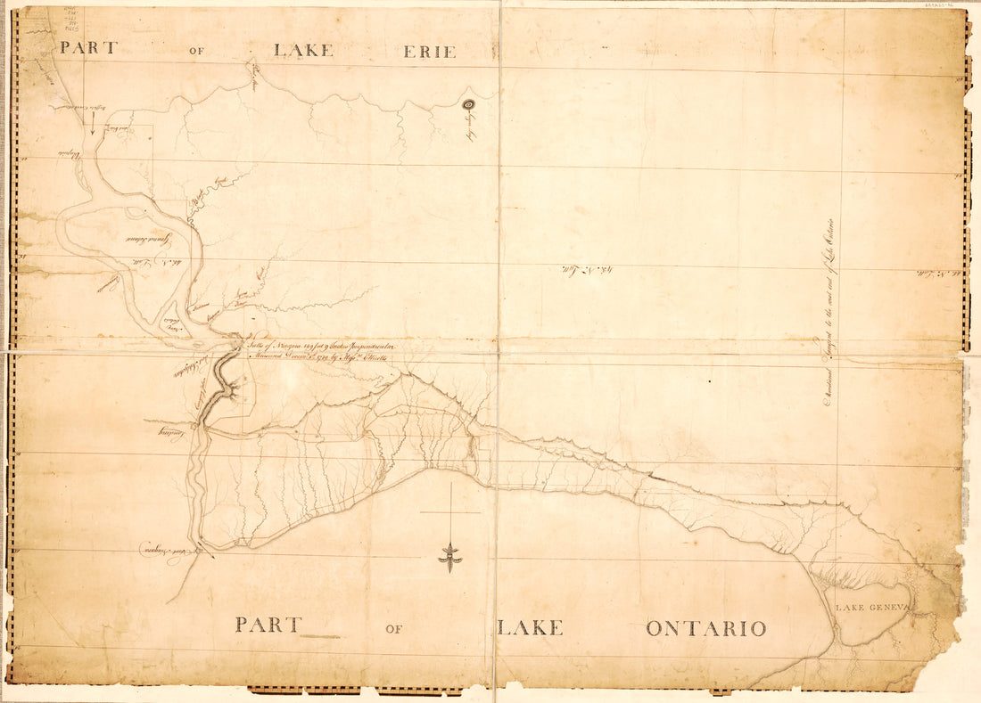 Map of the Niagara Falls Region, Including the Niagara River and the Niagara Peninsula in 1790
- Regular price
-
From
$32.95 - Regular price
-
$51.99 - Sale price
-
From
$32.95
-
Map of New York Island and Vicinity 1840
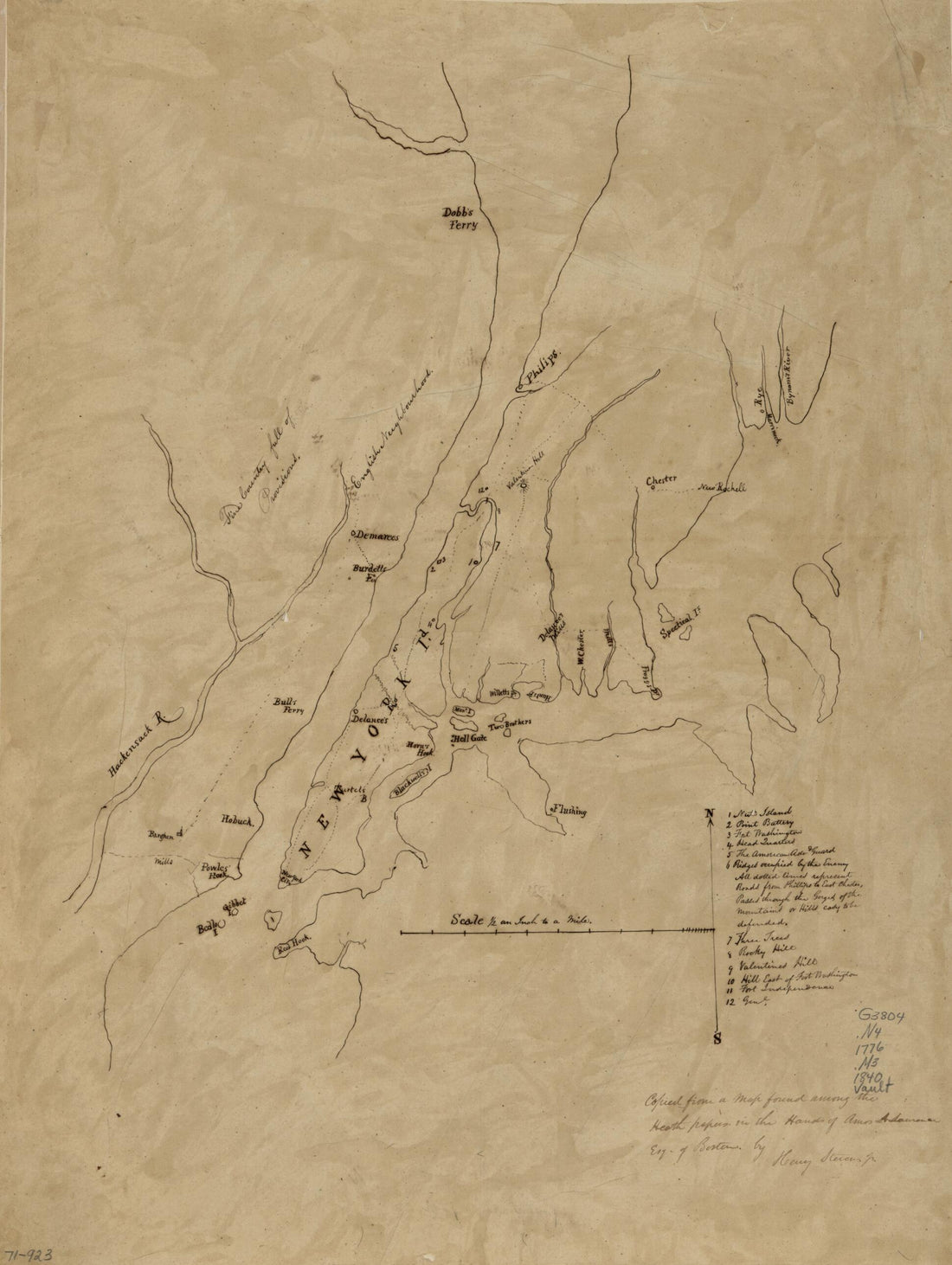 Map of New York Island and Vicinity 1840
- Regular price
-
From
$32.95 - Regular price
-
$51.99 - Sale price
-
From
$32.95
-
Topographical Map of Seneca County, New York in 1852
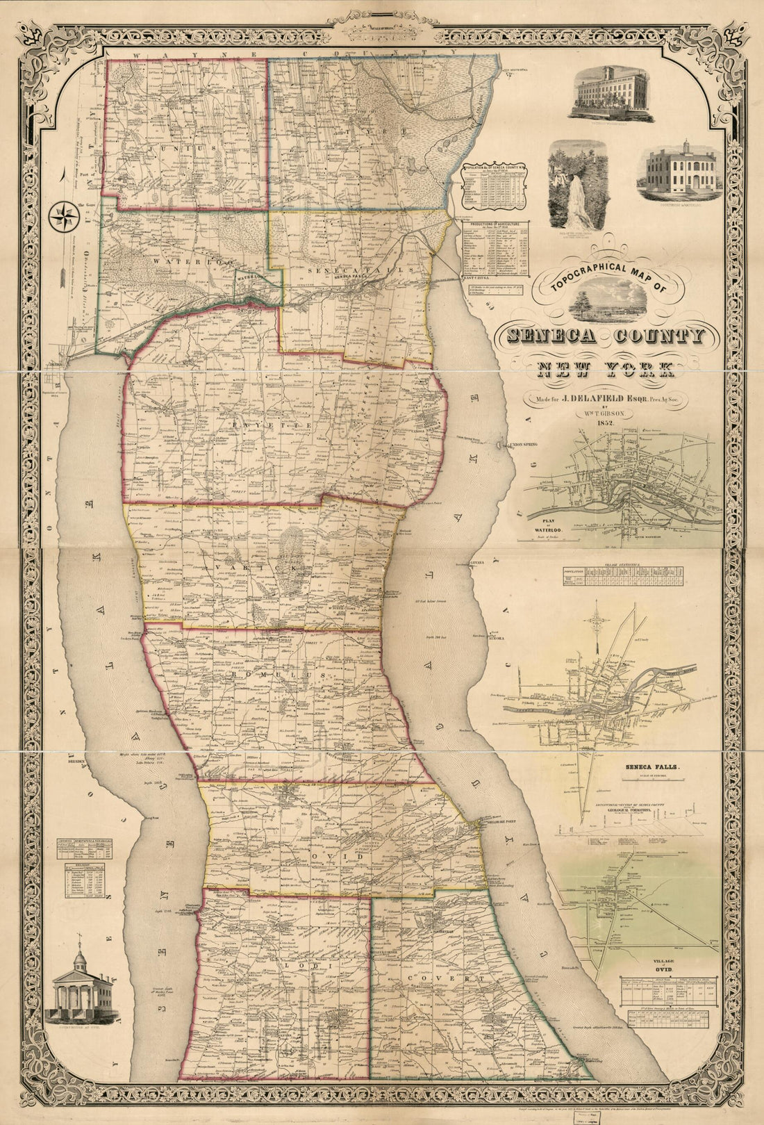 Topographical Map of Seneca County, New York in 1852
- Regular price
-
From
$41.95 - Regular price
-
$66.99 - Sale price
-
From
$41.95
-
A Map of the Province of New York, With Part of Pensilvania, and New England in 1777
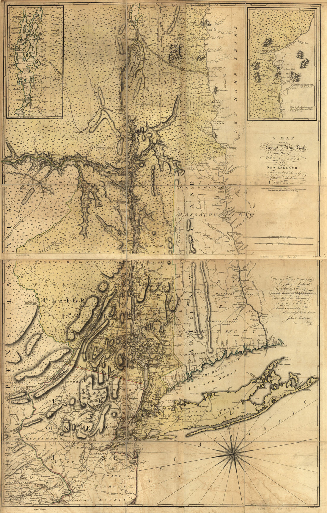 A Map of the Province of New York, With Part of Pensilvania, and New England in 1777
- Regular price
-
From
$41.95 - Regular price
-
$66.99 - Sale price
-
From
$41.95
-
A Profile of the Ground Between Fort Green On the Jacksons Hill Southeast of the Wall About to Cobble Hill Fort Near Gowannes Creek Aug. 10th in 1814
 A Profile of the Ground Between Fort Green On the Jacksons Hill Southeast of the Wall About to Cobble Hill Fort Near Gowannes Creek Aug. 10th in 1814
- Regular price
-
From
$41.95 - Regular price
-
$66.99 - Sale price
-
From
$41.95


