2057 products
-
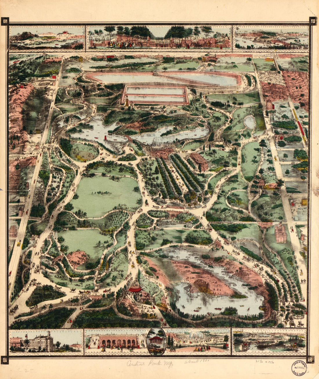 Central Park, New York in 1860Central Park, New York in 1860
- Regular price
-
$39.95 $83.95 - Regular price
-
$34.95 - Sale price
-
$39.95 $83.95
-
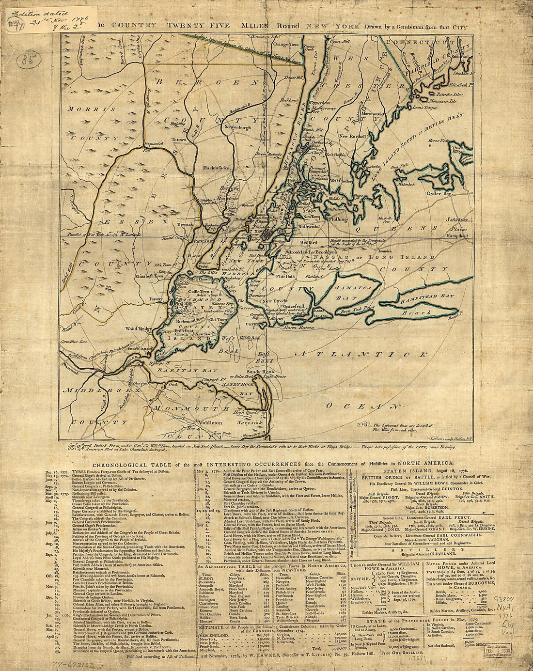 The Country Twenty Five Miles Round New York 1776The Country Twenty Five Miles Round New York 1776
- Regular price
-
$39.95 $83.95 - Regular price
-
$34.95 - Sale price
-
$39.95 $83.95
-
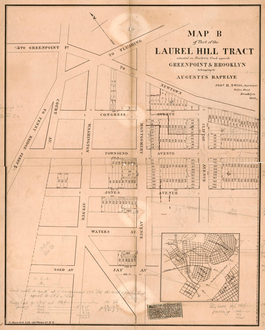 Map B of Part of the Laurel Hill Tract : Situated On Newtown Creek Opposite Greenpoint & Brooklyn, Belonging to Augustus Rapelye in 1856Map B of Part of the Laurel Hill Tract : Situated On Newtown Creek Opposite Greenpoint & Brooklyn, Belonging to Augustus Rapelye in 1856
- Regular price
-
$39.95 $83.95 - Regular price
-
$34.95 - Sale price
-
$39.95 $83.95
-
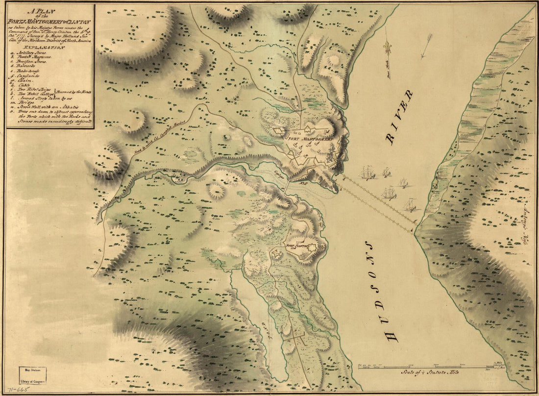 A Plan of the Forts Montgomery & Clinton As Taken by His Majesty's Forces Under the Command of Genl. Sr. Henry Clinton the 6th. of Octr. 1777A Plan of the Forts Montgomery & Clinton As Taken by His Majesty's Forces Under the Command of Genl. Sr. Henry Clinton the 6th. of Octr. 1777
- Regular price
-
$39.95 $88.95 - Regular price
-
$29.95 - Sale price
-
$39.95 $88.95
-
 Map of the City of New York 1860Map of the City of New York 1860
- Regular price
-
$39.95 $99.95 - Regular price
-
$29.95 - Sale price
-
$39.95 $99.95
-
 Map of the Business Portion of New York City Below Madison Square : 1870Map of the Business Portion of New York City Below Madison Square : 1870
- Regular price
-
$43.95 $88.95 - Regular price
-
$32.95 - Sale price
-
$43.95 $88.95
-
 Map of the Town of Morrisania 1868Map of the Town of Morrisania 1868
- Regular price
-
$46.95 $120.95 - Regular price
-
$41.95 - Sale price
-
$46.95 $120.95
-
 Sketch of New York, Narrows & Part of Long Island With the Roads 1776Sketch of New York, Narrows & Part of Long Island With the Roads 1776
- Regular price
-
$46.95 $99.95 - Regular price
-
$41.95 - Sale price
-
$46.95 $99.95
-
 Island Made the 10th August 1774Island Made the 10th August 1774
- Regular price
-
$39.95 $83.95 - Regular price
-
$29.95 - Sale price
-
$39.95 $83.95
-
 Reconnoissance De King's Bridge. I 1781Reconnoissance De King's Bridge. I 1781
- Regular price
-
$39.95 $83.95 - Regular price
-
$29.95 - Sale price
-
$39.95 $83.95
-
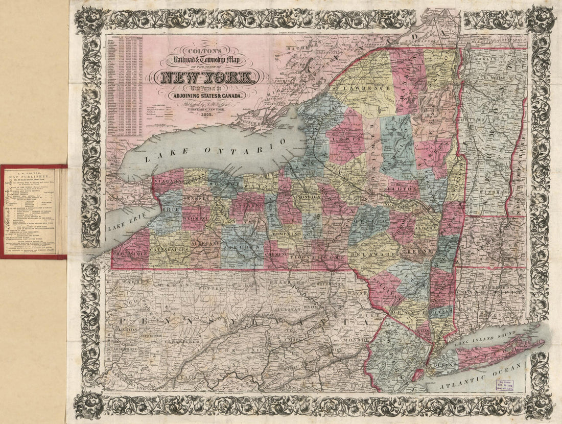 Colton's Railroad & Township Map of the State of New York : With Parts of the Adjoining States & Canada (Colton's Railroad and Township Map of the State of New York, Railroad & Township Map of the State of New York, Township Map of the State of New Yo...Colton's Railroad & Township Map of the State of New York : With Parts of the Adjoining States & Canada (Colton's Railroad and Township Map of the State of New York, Railroad & Township Map of the State of New York, Township Map of the State of New Yo...
- Regular price
-
$43.95 $90.95 - Regular price
-
$32.95 - Sale price
-
$43.95 $90.95
-
 York Island Showing a Plan of Fort Washington, Now Call'd Ft. Kniphausen With the Rebels Lines On the South Part, from Which They Were Driven On the 16th of November 1776 by the Troupes Under the Orders of the Earl of PercyYork Island Showing a Plan of Fort Washington, Now Call'd Ft. Kniphausen With the Rebels Lines On the South Part, from Which They Were Driven On the 16th of November 1776 by the Troupes Under the Orders of the Earl of Percy
- Regular price
-
$41.95 $99.95 - Regular price
-
$36.95 - Sale price
-
$41.95 $99.95


