747 products
-
Hook, New York and Bay to Fort Edward, Also the Communication With Canada by Lake George and Lake Champlain, As High As Fort Chambly On Sorel River. 1776 1777
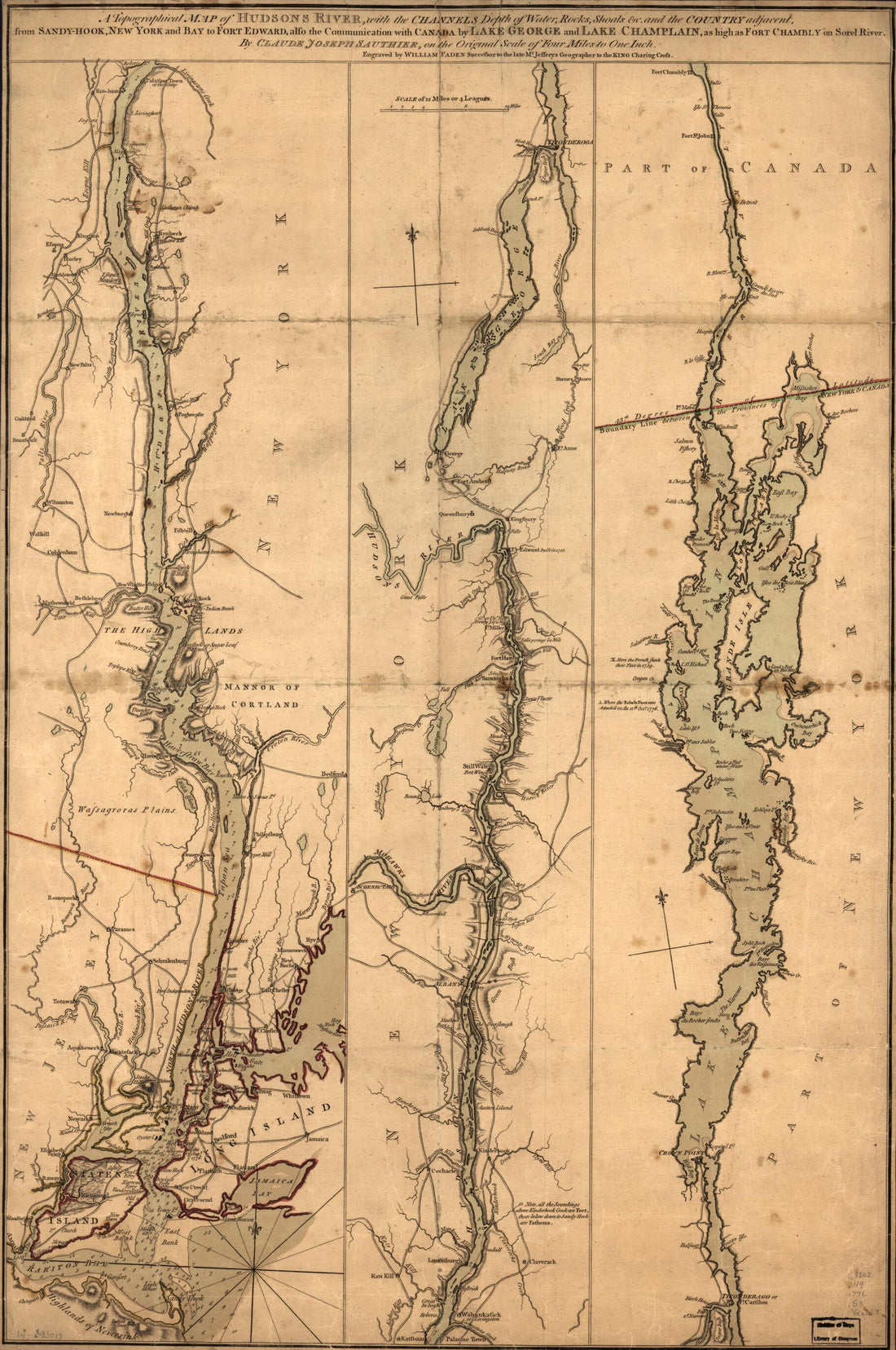 Hook, New York and Bay to Fort Edward, Also the Communication With Canada by Lake George and Lake Champlain, As High As Fort Chambly On Sorel River. 1776 1777
- Regular price
-
From
$41.95 - Regular price
-
$66.99 - Sale price
-
From
$41.95
-
Map of Arverne : 1908
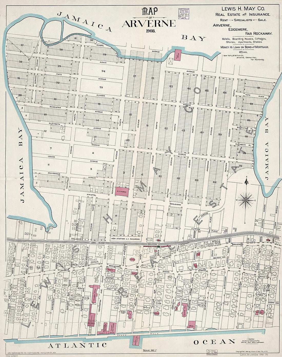 Map of Arverne : 1908
- Regular price
-
From
$34.95 - Regular price
-
$49.99 - Sale price
-
From
$34.95
-
Sketch of Forts Clinton & Montgomery, Stormed the 6th Octob. 1777 by the Troops Under the Command of Sir Henry Clinton, K.B., Lt. General of H. Maj. Forces and Commander In Chief of New Yorck and Its Dependencies 1776
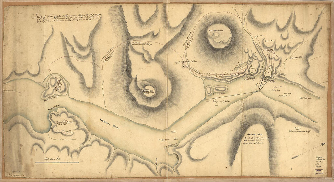 Sketch of Forts Clinton & Montgomery, Stormed the 6th Octob. 1777 by the Troops Under the Command of Sir Henry Clinton, K.B., Lt. General of H. Maj. Forces and Commander In Chief of New Yorck and Its Dependencies 1776
- Regular price
-
From
$41.95 - Regular price
-
$66.99 - Sale price
-
From
$41.95
-
A Plan of Fort Pike at Sackets Harbour : On a Scale of Ten Yards to an Inch, Sackets Harbour June 20th 1814
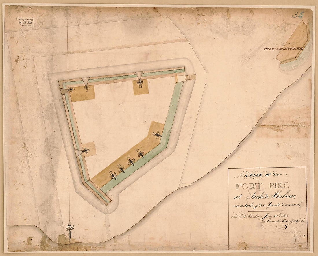 A Plan of Fort Pike at Sackets Harbour : On a Scale of Ten Yards to an Inch, Sackets Harbour June 20th 1814
- Regular price
-
From
$34.95 - Regular price
-
$49.99 - Sale price
-
From
$34.95
-
Maps of the Expedition from Canada of Gen. Burgoyne 1780
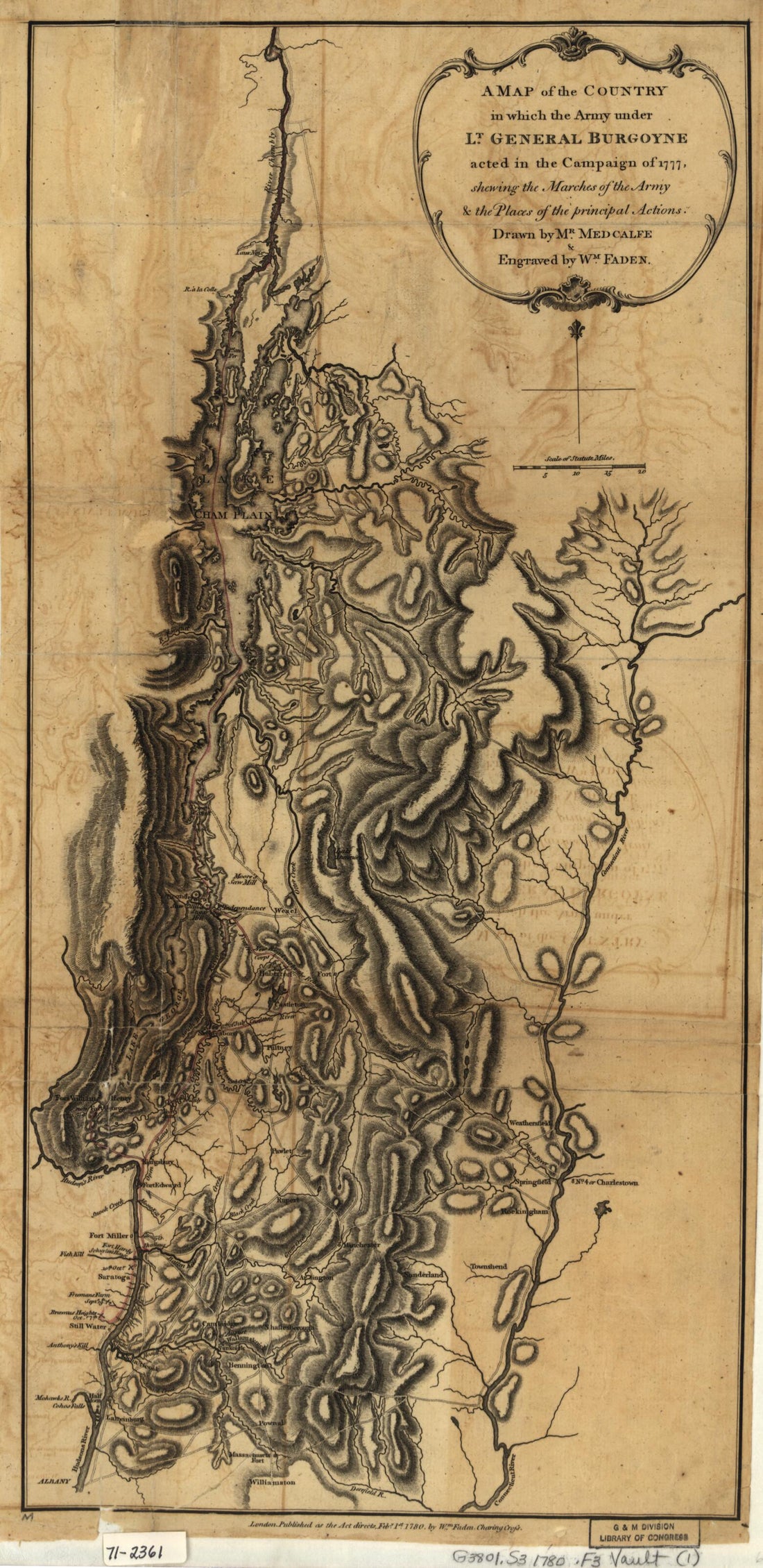 Maps of the Expedition from Canada of Gen. Burgoyne 1780
- Regular price
-
From
$19.95 - Regular price
-
$31.95 - Sale price
-
From
$19.95
-
Pointe Du Nord Levé a Vue 1782
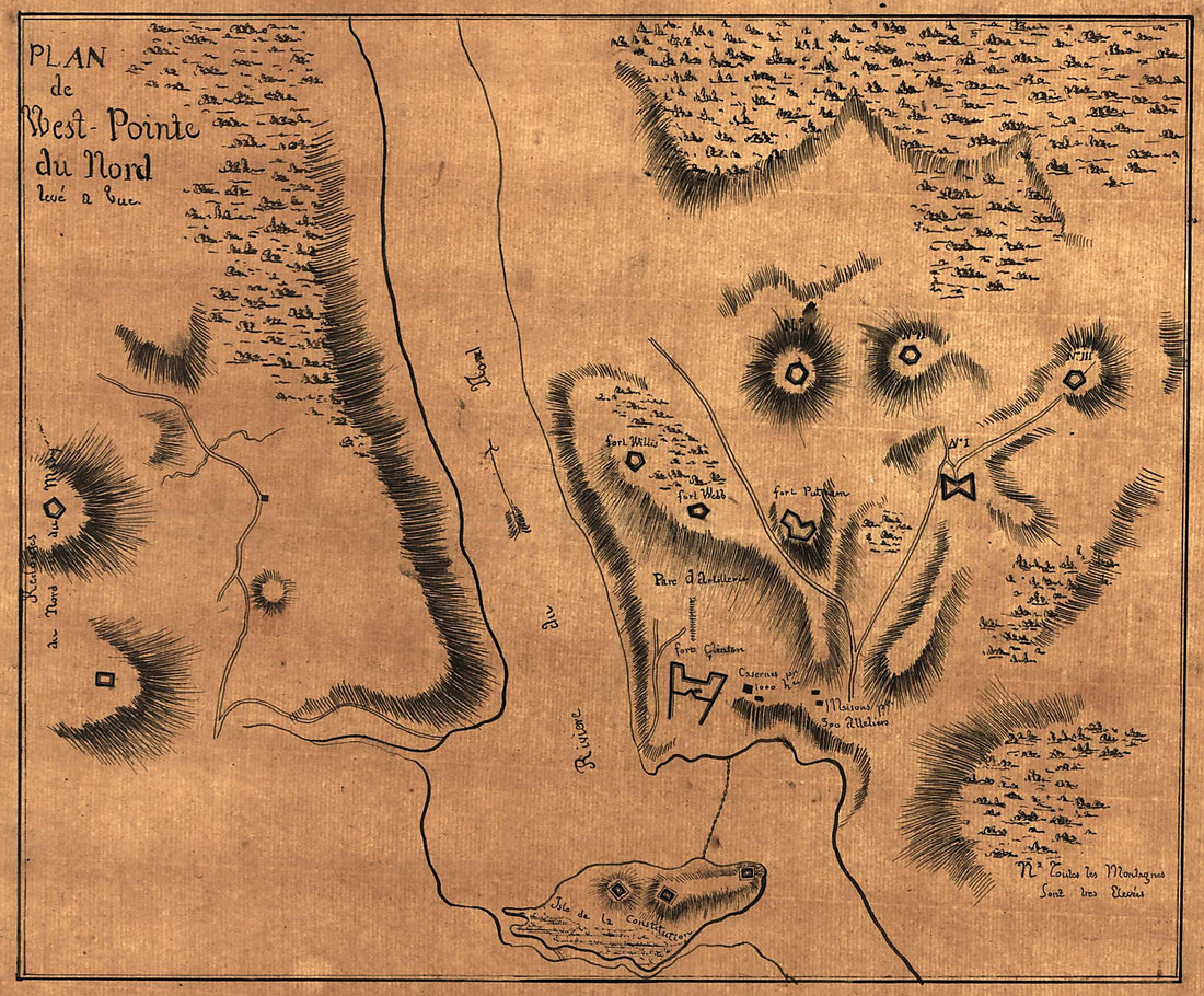 Pointe Du Nord Levé a Vue 1782
- Regular price
-
From
$19.95 - Regular price
-
$29.95 - Sale price
-
From
$19.95
-
Blackwell's, Ward's and Randall's Islands and Adjacent Shores of East and Harlem Rivers From 51st St. New York to Lawrence's Pt in 1885
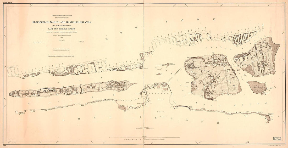 Blackwell's, Ward's and Randall's Islands and Adjacent Shores of East and Harlem Rivers From 51st St. New York to Lawrence's Pt in 1885
- Regular price
-
From
$41.95 - Regular price
-
$66.99 - Sale price
-
From
$41.95
-
Manatvs Gelegen Op De Noot sic Riuier 1670
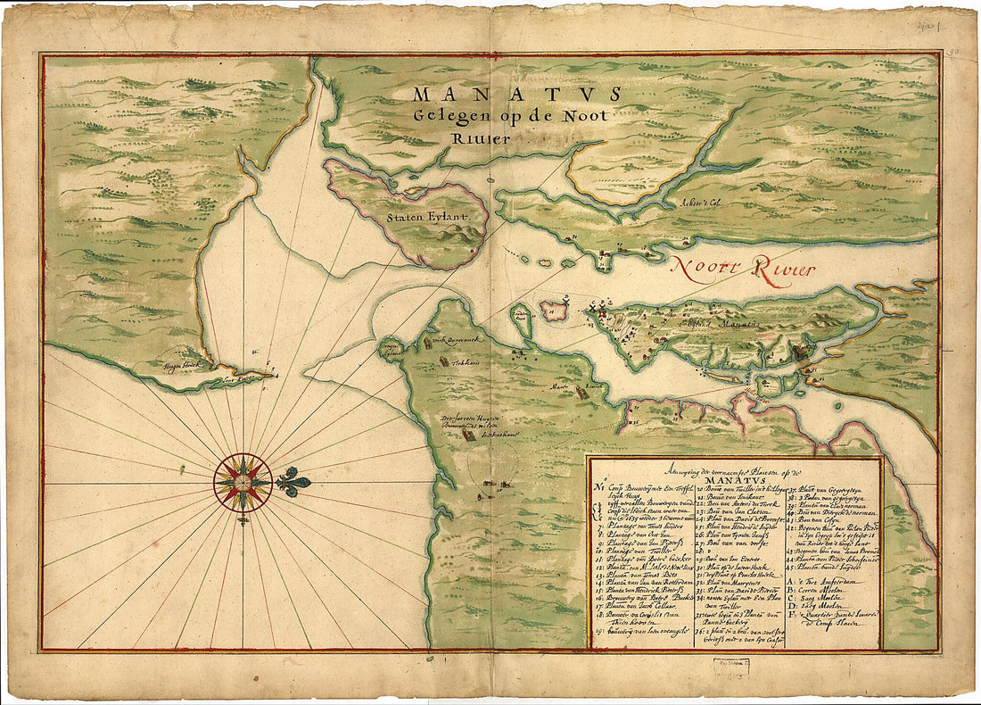 Manatvs Gelegen Op De Noot sic Riuier 1670
- Regular price
-
From
$32.95 - Regular price
-
$51.99 - Sale price
-
From
$32.95
-
Plan of the Attack On Fort William Henry and Ticonderoga; Showing the Road from Fort Edward, Montcalm's Camp and Wharf of Landing, &c 1757
 Plan of the Attack On Fort William Henry and Ticonderoga; Showing the Road from Fort Edward, Montcalm's Camp and Wharf of Landing, &c 1757
- Regular price
-
From
$19.95 - Regular price
-
$29.95 - Sale price
-
From
$19.95
-
Map of Property Situated In the Village of Flushing, Queens County, L.I., Belonging to Gabriel Winter 1850
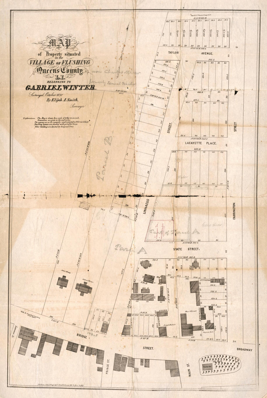 Map of Property Situated In the Village of Flushing, Queens County, L.I., Belonging to Gabriel Winter 1850
- Regular price
-
From
$41.95 - Regular price
-
$66.99 - Sale price
-
From
$41.95
-
A Plan of the City and Environs of New York In North America 1776
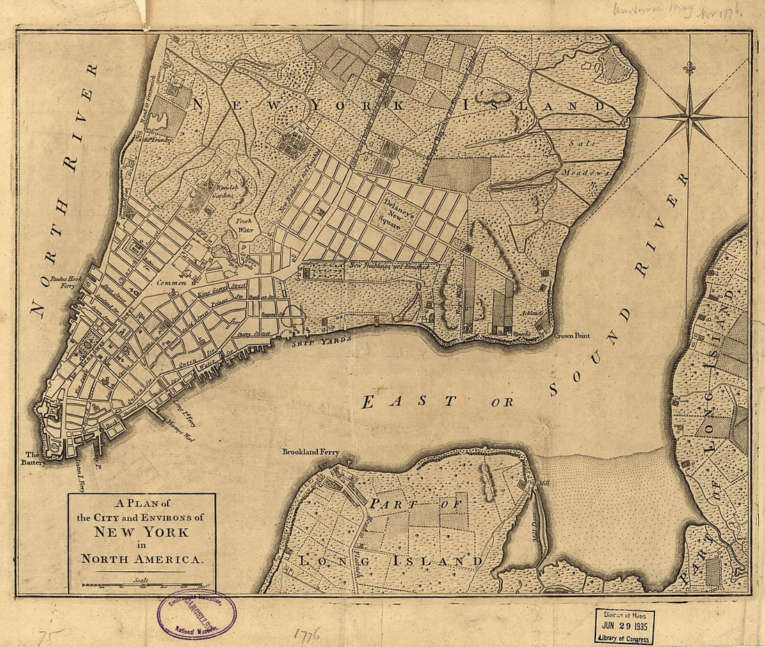 A Plan of the City and Environs of New York In North America 1776
- Regular price
-
From
$19.95 - Regular price
-
$29.95 - Sale price
-
From
$19.95
-
Map of the Route of the Proposed New York & Erie Railroad, As Surveyed In in 1834, Reduced From the Plans As Returned by Benjn. Wright, Civil Engineer, D. R. Harrison, Sc
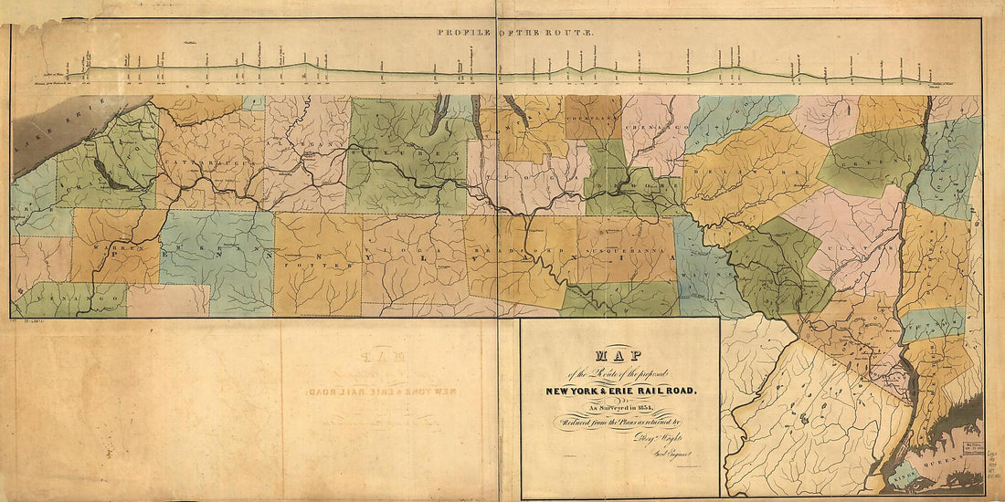 Map of the Route of the Proposed New York & Erie Railroad, As Surveyed In in 1834, Reduced From the Plans As Returned by Benjn. Wright, Civil Engineer, D. R. Harrison, Sc
- Regular price
-
From
$41.95 - Regular price
-
$66.99 - Sale price
-
From
$41.95


