150 products
-
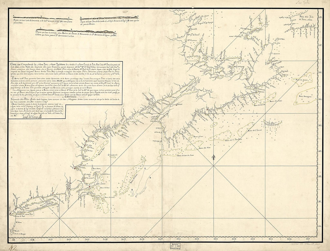 Carta Que Comprehende La Neuva York, Nueva Ynglaterra, La Acadia ò Neuva Escocia La Ysla Real, La De Sn. Juan, Con Parte De La De Terra Noba: 1781Carta Que Comprehende La Neuva York, Nueva Ynglaterra, La Acadia ò Neuva Escocia La Ysla Real, La De Sn. Juan, Con Parte De La De Terra Noba: 1781
- Regular price
-
$43.95 $184.95 - Regular price
-
$38.95 - Sale price
-
$43.95 $184.95
-
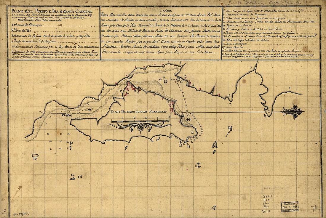 Plano Del Puerto E Ysla De Sancta Catalina En La Costa Del Brasil Cituada Su Mediania En La Latitud De 27 Gs. 42 Minutos S. Y Longitu De 327 Gs. 40 Minute. Del Meridiano De Tenerife 1700Plano Del Puerto E Ysla De Sancta Catalina En La Costa Del Brasil Cituada Su Mediania En La Latitud De 27 Gs. 42 Minutos S. Y Longitu De 327 Gs. 40 Minute. Del Meridiano De Tenerife 1700
- Regular price
-
$39.95 $99.95 - Regular price
-
$34.95 - Sale price
-
$39.95 $99.95
-
 A Chart Exhibiting the Lighthouses and Lightvessels On the Coasts of the United States of America : from Virginia Exclusive to Texas Inclusive (Chart Exhibiting the Lighthouses and Lightvessels from Virginia Exclusive to Texas Inclusive) 1848A Chart Exhibiting the Lighthouses and Lightvessels On the Coasts of the United States of America : from Virginia Exclusive to Texas Inclusive (Chart Exhibiting the Lighthouses and Lightvessels from Virginia Exclusive to Texas Inclusive) 1848
- Regular price
-
$46.95 $258.95 - Regular price
-
$41.95 - Sale price
-
$46.95 $258.95
-
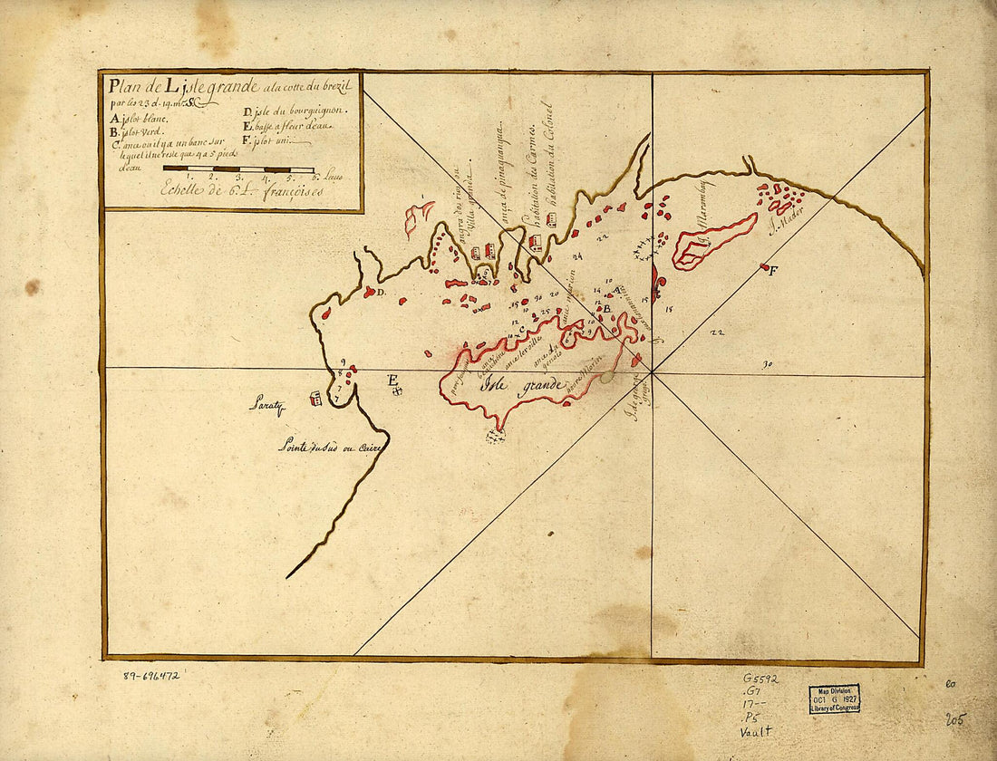 Plan De L'Isle Grande a La Cotte Du Brezil Par Les 23 D. 14 M. S 1700Plan De L'Isle Grande a La Cotte Du Brezil Par Les 23 D. 14 M. S 1700
- Regular price
-
$43.95 $88.95 - Regular price
-
$31.95 - Sale price
-
$43.95 $88.95
-
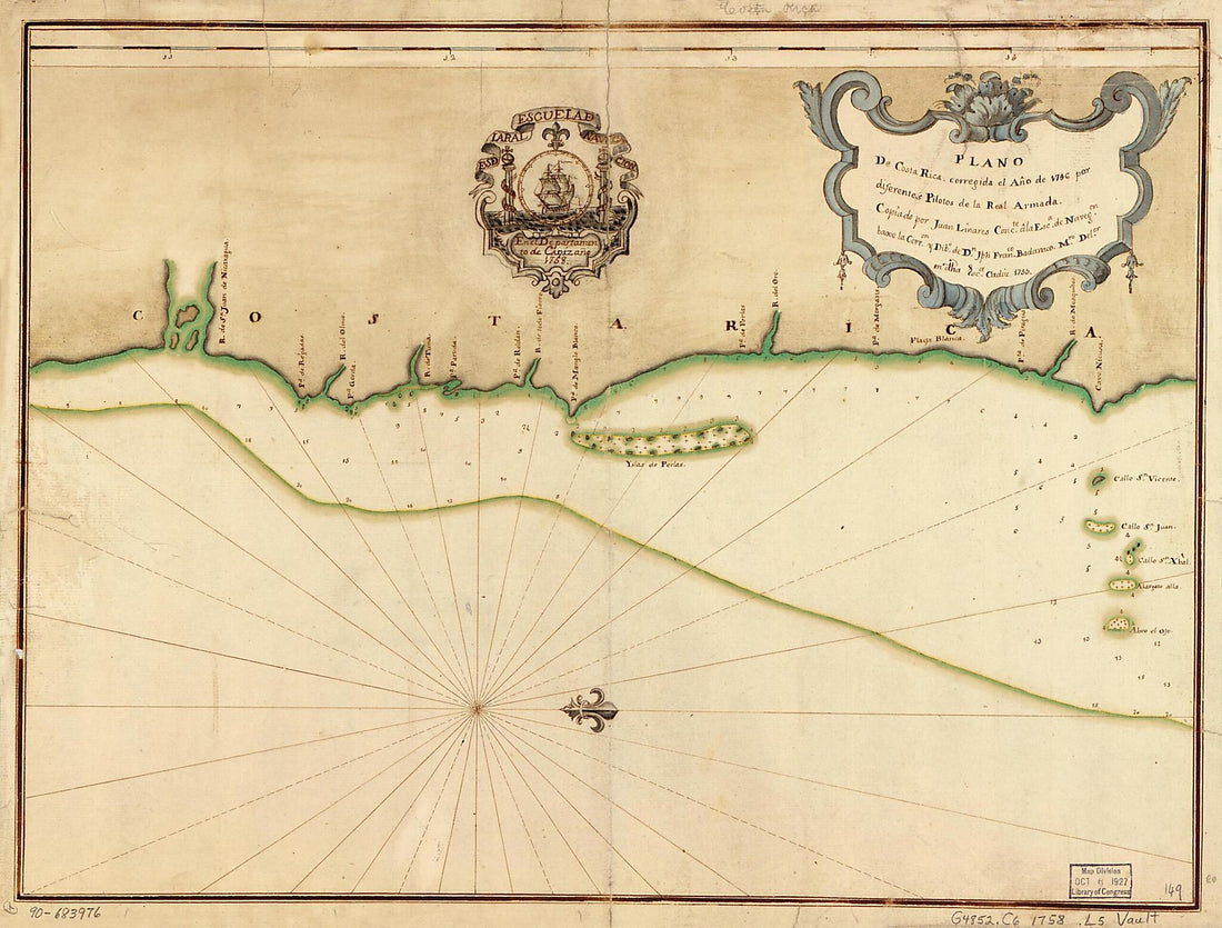 Plano De Costa Rica 1758Plano De Costa Rica 1758
- Regular price
-
$43.95 $88.95 - Regular price
-
$38.95 - Sale price
-
$43.95 $88.95
-
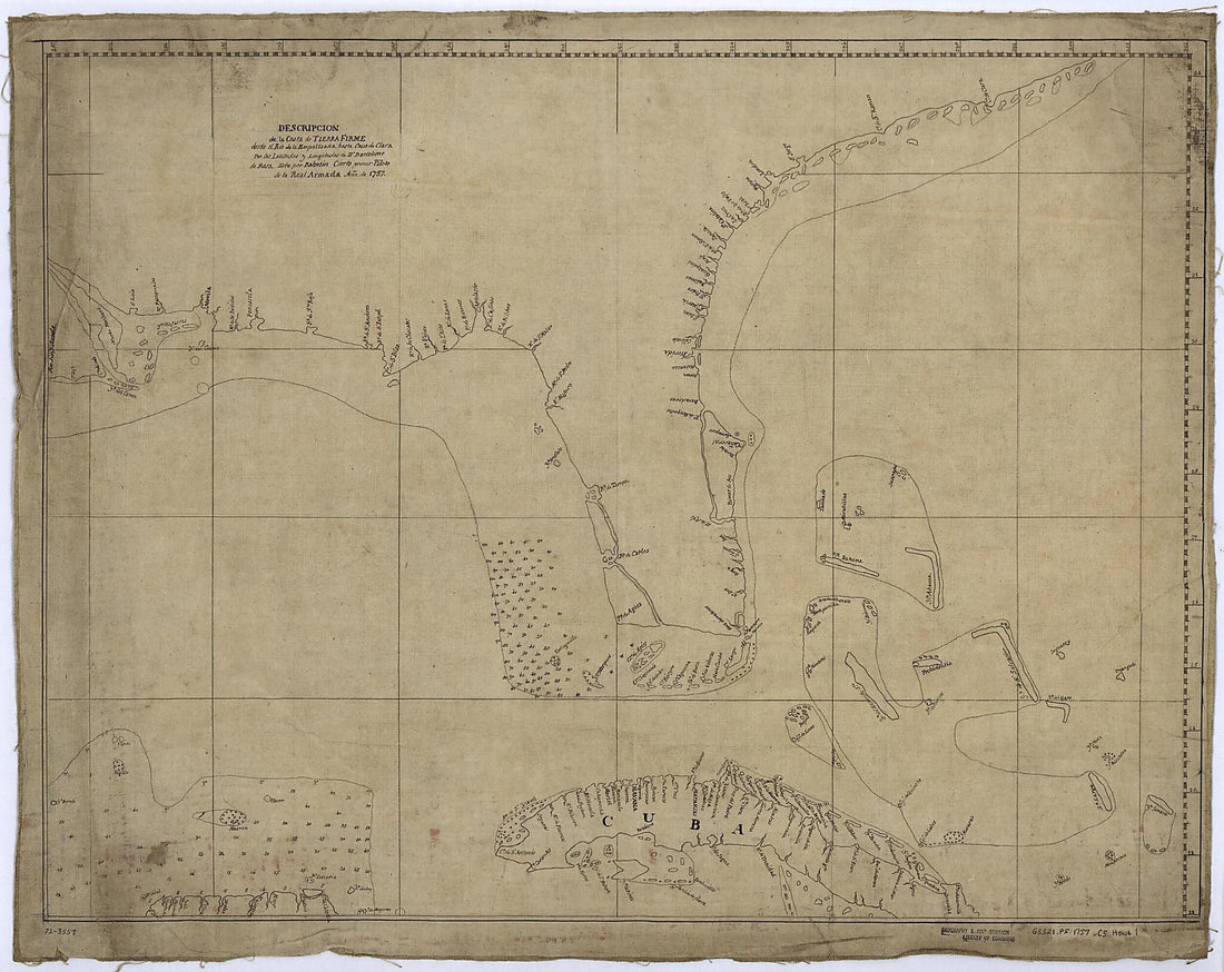 Descripcion De La Costa De Tierra Firme Desde El Rio De La Empalizada Hasta Cavo De Clara. Por Las Latitudes Y Longitudes De Dn. Bartolome De Rosa 1757Descripcion De La Costa De Tierra Firme Desde El Rio De La Empalizada Hasta Cavo De Clara. Por Las Latitudes Y Longitudes De Dn. Bartolome De Rosa 1757
- Regular price
-
$43.95 $117.95 - Regular price
-
$38.95 - Sale price
-
$43.95 $117.95
-
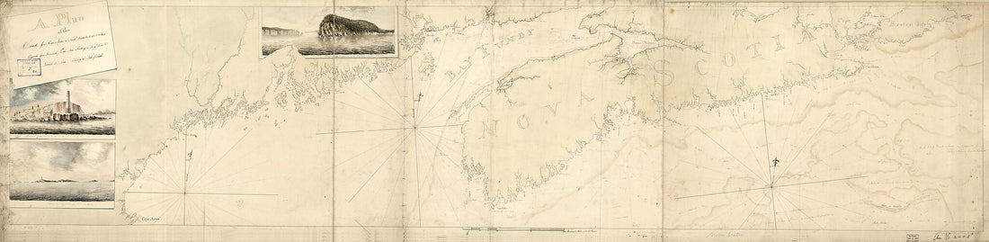 A Plan of the Coast From Cape Anne In North Latitude 42⁰42ʹ & 70⁰33ʹ West Longitude From Greenwich: ... to Isle Scattery In Long. 50⁰40ʹ & Latitude 46⁰ 0ʹ North, ... Including the Isle of Sable in 1775A Plan of the Coast From Cape Anne In North Latitude 42⁰42ʹ & 70⁰33ʹ West Longitude From Greenwich: ... to Isle Scattery In Long. 50⁰40ʹ & Latitude 46⁰ 0ʹ North, ... Including the Isle of Sable in 1775
- Regular price
-
$46.95 $222.95 - Regular price
-
$41.95 - Sale price
-
$46.95 $222.95
-
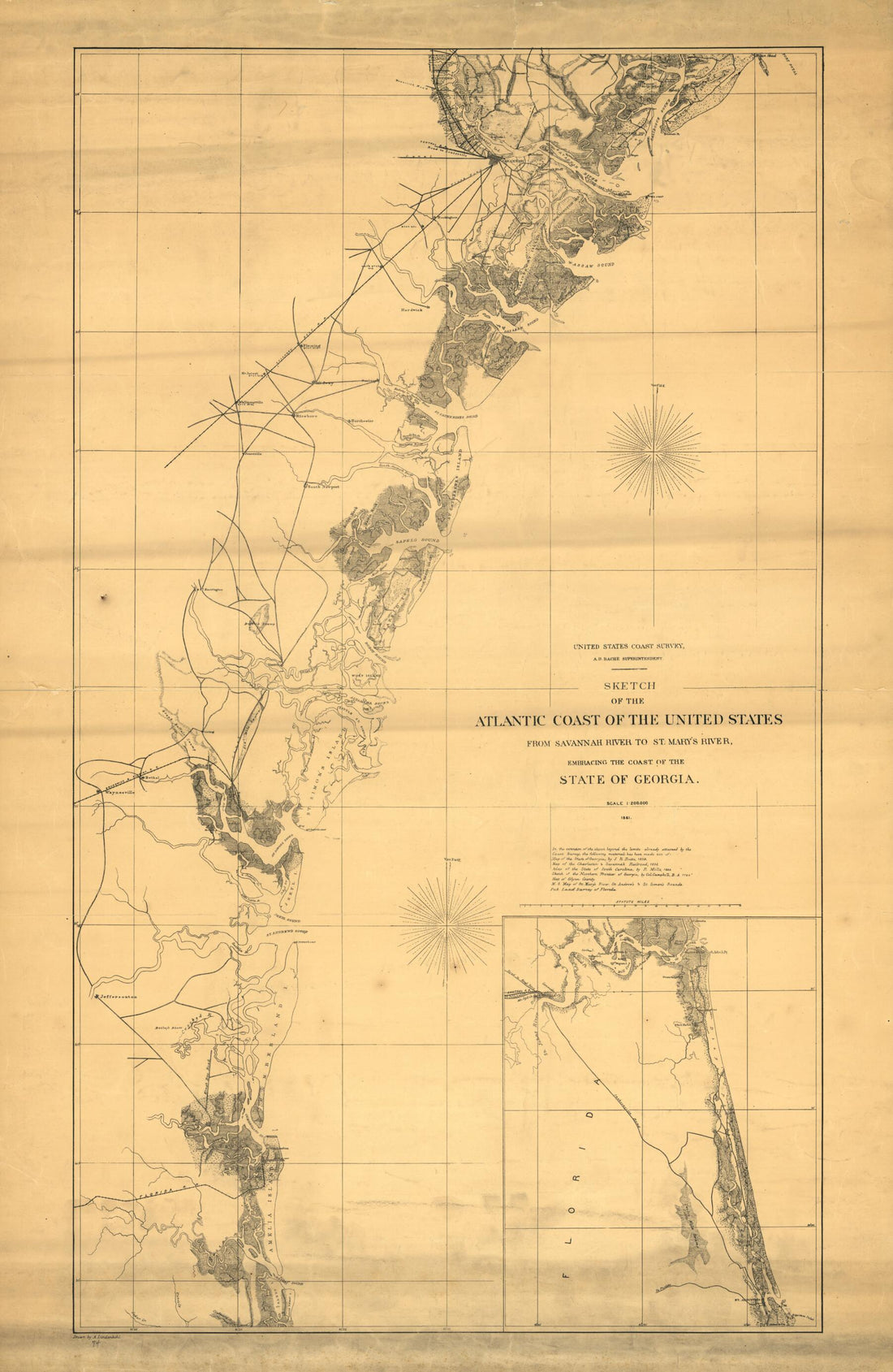 Sketch of the Atlantic Coast of the United States from Savannah River to St. Mary's River, Embracing the Coast of the State of Georgia 1861Sketch of the Atlantic Coast of the United States from Savannah River to St. Mary's River, Embracing the Coast of the State of Georgia 1861
- Regular price
-
$46.95 $114.95 - Regular price
-
$41.95 - Sale price
-
$46.95 $114.95
-
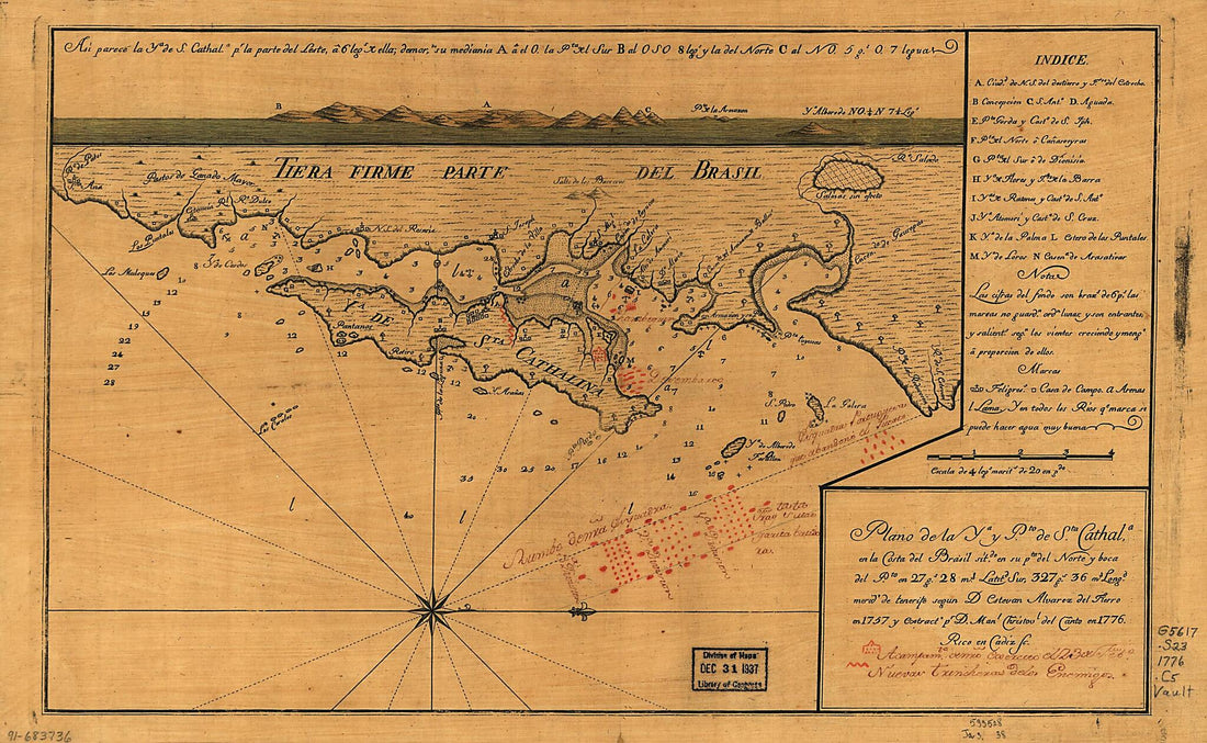 Plano De La Ya. Y Pto. De Sta. Cathala. En La Costa Del Brasil Sitdo. En Su Pta. Del Norte Y Boca Del Pto. En 27 Gs. 28 Ms. Latitd. Sur, 327 Gs. 36 Ms. Longd., Merido. De Tenerife 1776Plano De La Ya. Y Pto. De Sta. Cathala. En La Costa Del Brasil Sitdo. En Su Pta. Del Norte Y Boca Del Pto. En 27 Gs. 28 Ms. Latitd. Sur, 327 Gs. 36 Ms. Longd., Merido. De Tenerife 1776
- Regular price
-
$39.95 $99.95 - Regular price
-
$34.95 - Sale price
-
$39.95 $99.95
-
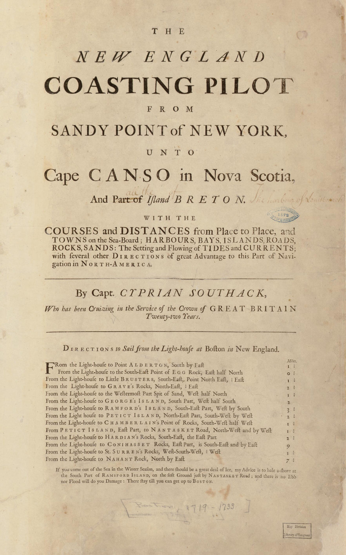 Board : Harbours, Bays, Islands, Roads, Rocks, Sands, the Setting and Flowing of Tides and Currents, With Several Other Directions of Great Advantage to This Part of Navigation In North America 1734Board : Harbours, Bays, Islands, Roads, Rocks, Sands, the Setting and Flowing of Tides and Currents, With Several Other Directions of Great Advantage to This Part of Navigation In North America 1734
- Regular price
-
$39.95 $99.95 - Regular price
-
$34.95 - Sale price
-
$39.95 $99.95
-
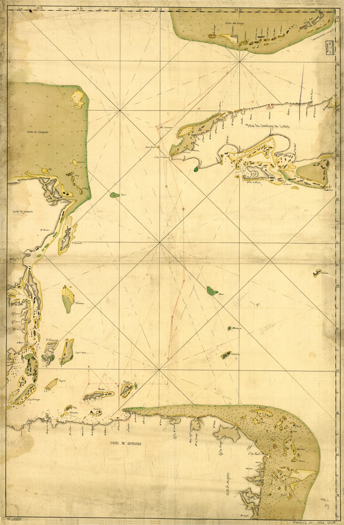 Map Showing Portion of the Caribbean Sea from Florida Keys to Nicaragua 1700Map Showing Portion of the Caribbean Sea from Florida Keys to Nicaragua 1700
- Regular price
-
$46.95 $99.95 - Regular price
-
$41.95 - Sale price
-
$46.95 $99.95
-
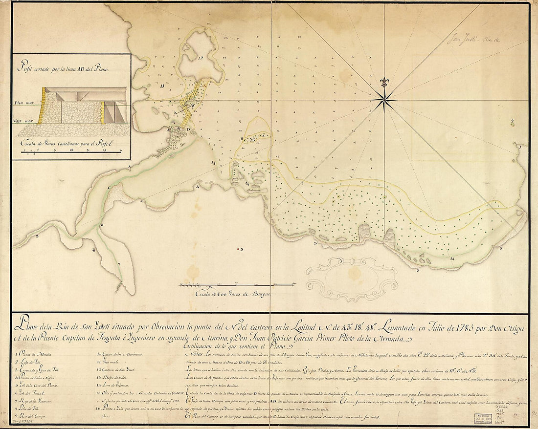 Plano De La Ría De San Yusti Situado Por Obsevación sic La Punta Del N. Del Castrón En La Latitud N. De 43⁰18ʹ48ʺ 1785Plano De La Ría De San Yusti Situado Por Obsevación sic La Punta Del N. Del Castrón En La Latitud N. De 43⁰18ʹ48ʺ 1785
- Regular price
-
$43.95 $175.95 - Regular price
-
$38.95 - Sale price
-
$43.95 $175.95


