69 products
-
Map Showing Coast of Northern Yucatán Peninsula in 1700
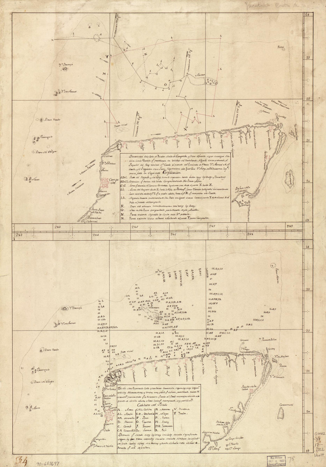 Map Showing Coast of Northern Yucatán Peninsula in 1700
- Regular price
-
$41.95 $94.95 - Regular price
-
$41.95 - Sale price
-
$41.95 $94.95
-
Le Mississipi Ou La Louisiane Dans L'Amérique Septentrionale 1770
 Le Mississipi Ou La Louisiane Dans L'Amérique Septentrionale 1770
- Regular price
-
$29.95 $94.95 - Regular price
-
$29.95 - Sale price
-
$29.95 $94.95
-
A Chart Exhibiting the Lighthouses and Lightvessels On the Coasts of the United States of America : from Virginia Exclusive to Texas Inclusive (Chart Exhibiting the Lighthouses and Lightvessels from Virginia Exclusive to Texas Inclusive) 1848
 A Chart Exhibiting the Lighthouses and Lightvessels On the Coasts of the United States of America : from Virginia Exclusive to Texas Inclusive (Chart Exhibiting the Lighthouses and Lightvessels from Virginia Exclusive to Texas Inclusive) 1848
- Regular price
-
$41.95 $253.95 - Regular price
-
$41.95 - Sale price
-
$41.95 $253.95
-
Map Showing Coast of Veracruz State, Mexico, Between Tampico and Antón Lizardo 1760
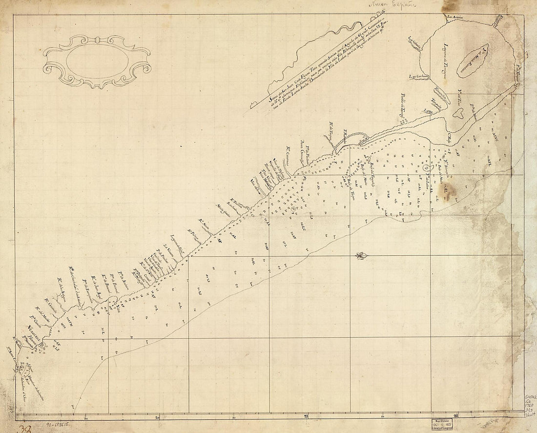 Map Showing Coast of Veracruz State, Mexico, Between Tampico and Antón Lizardo 1760
- Regular price
-
$34.95 $121.95 - Regular price
-
$34.95 - Sale price
-
$34.95 $121.95
-
Carte Réduite Des Costes De La Louisiane Et De La Floride 1764
 Carte Réduite Des Costes De La Louisiane Et De La Floride 1764
- Regular price
-
$41.95 $181.95 - Regular price
-
$41.95 - Sale price
-
$41.95 $181.95
-
The Coast of West Florida and Louisiana. the Peninsula and Gulf of Florida Or Channel of Bahama With the Bahama Islands in 1775
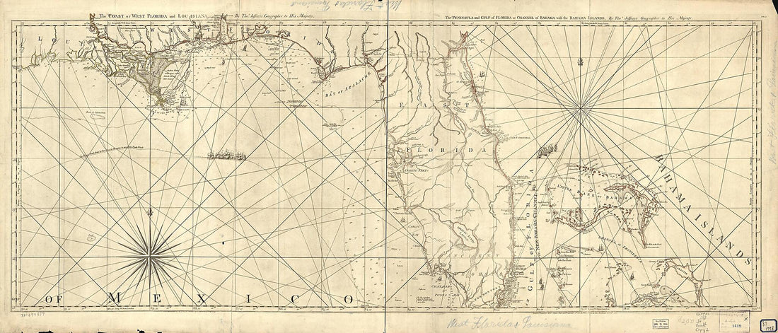 The Coast of West Florida and Louisiana. the Peninsula and Gulf of Florida Or Channel of Bahama With the Bahama Islands in 1775
- Regular price
-
$41.95 $204.95 - Regular price
-
$41.95 - Sale price
-
$41.95 $204.95
-
Gulf Coast of the United States, Key West to Rio Grande in 1863
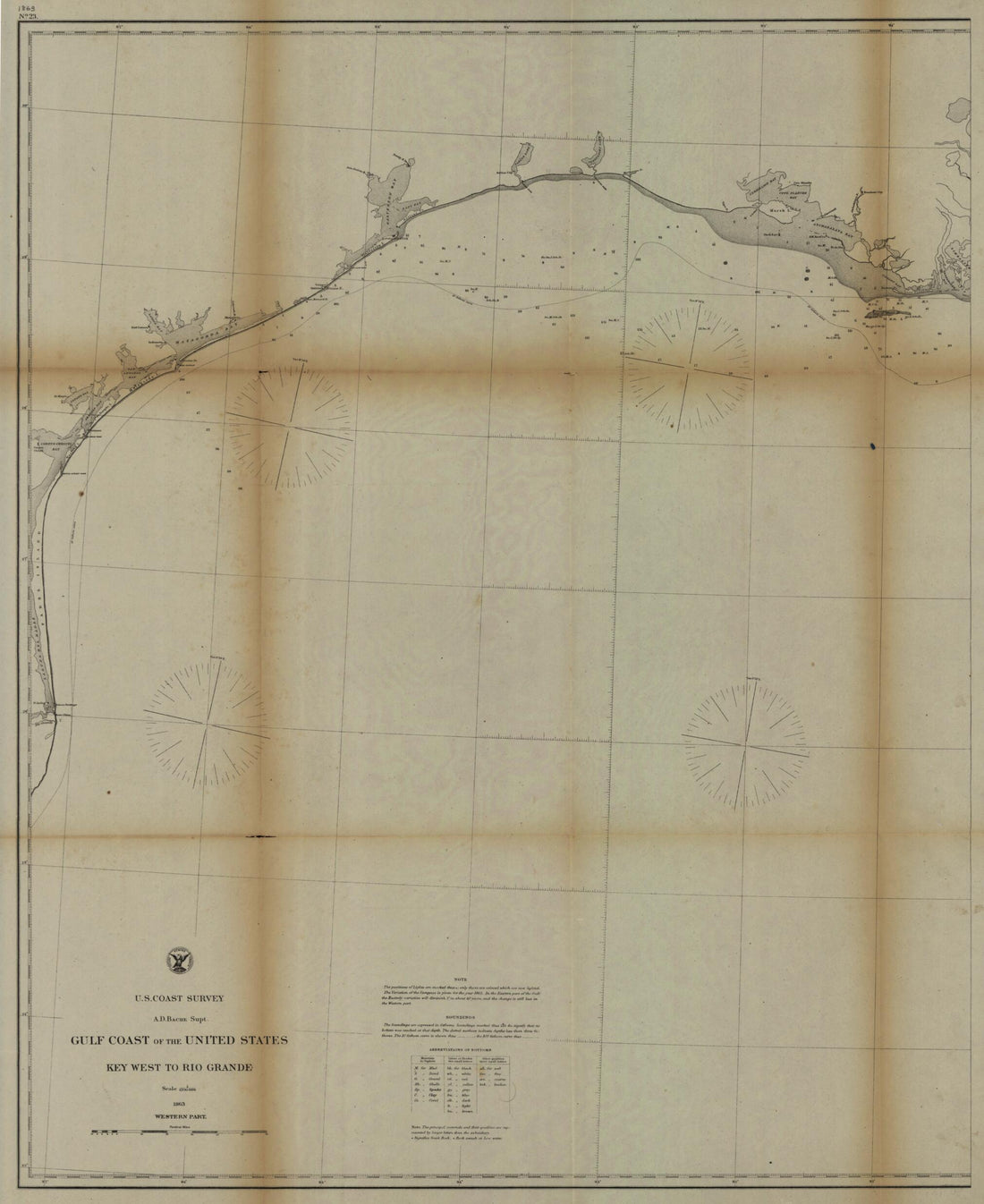 Gulf Coast of the United States, Key West to Rio Grande in 1863
- Regular price
-
$41.95 $139.95 - Regular price
-
$41.95 - Sale price
-
$41.95 $139.95
-
Plano Borrador De La Parte De La Florida Occidental Contenida Entre El Rio Mississipi Y Bahia De La Mobila Inclusives 1820
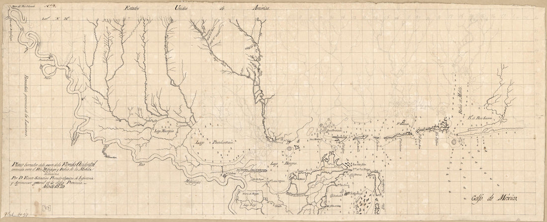 Plano Borrador De La Parte De La Florida Occidental Contenida Entre El Rio Mississipi Y Bahia De La Mobila Inclusives 1820
- Regular price
-
$41.95 $94.95 - Regular price
-
$41.95 - Sale price
-
$41.95 $94.95
-
Descripción De La Costa De La Luciana Y Entrada En El Río De Micisipi Con Sus Sondas Y Bajos Nuebamte. Corregido Y Enmendado Pr. Los Pilotos De La Rl. Armada En El Año De 1769 1786
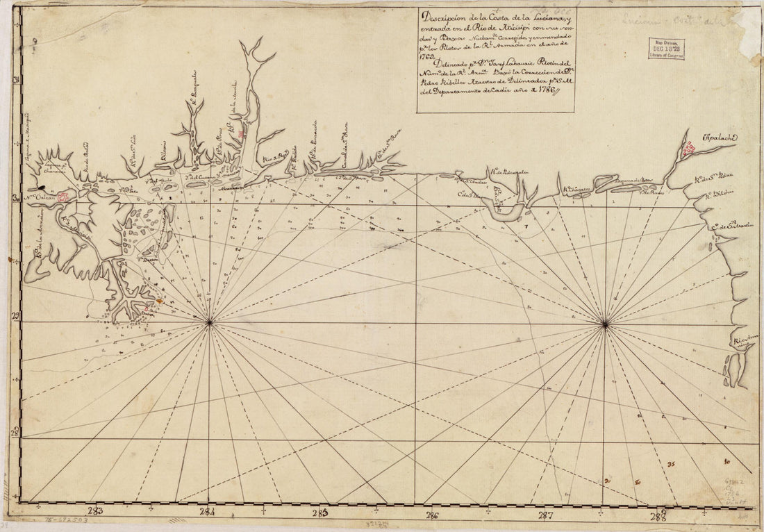 Descripción De La Costa De La Luciana Y Entrada En El Río De Micisipi Con Sus Sondas Y Bajos Nuebamte. Corregido Y Enmendado Pr. Los Pilotos De La Rl. Armada En El Año De 1769 1786
- Regular price
-
$34.95 $94.95 - Regular price
-
$34.95 - Sale price
-
$34.95 $94.95
-
Plano Del Puerto Y Ciudad De Vera Cruz En La Costa Occidental Del Reyno De Nueva España, Situada En La Lattd. N. De 19⁰13ʹ Y En 278⁰40ʹ De Longd. Del Mro. De Tenerife 1777
 Plano Del Puerto Y Ciudad De Vera Cruz En La Costa Occidental Del Reyno De Nueva España, Situada En La Lattd. N. De 19⁰13ʹ Y En 278⁰40ʹ De Longd. Del Mro. De Tenerife 1777
- Regular price
-
$41.95 $214.95 - Regular price
-
$41.95 - Sale price
-
$41.95 $214.95
-
Plano Del Desembarcadero Del Río Misipipi En El Seno Megicano Con Parte Del Territorio De La Mobila, El Qual Yncluien Los Franceses En La Probincia Qe. Han Nombrado La Luisiana 1780
 Plano Del Desembarcadero Del Río Misipipi En El Seno Megicano Con Parte Del Territorio De La Mobila, El Qual Yncluien Los Franceses En La Probincia Qe. Han Nombrado La Luisiana 1780
- Regular price
-
$29.95 $83.95 - Regular price
-
$29.95 - Sale price
-
$29.95 $83.95
-
Descripsión De La Costa De La Luciana Y Entrada En El Río De Micisipi Con Sus Zonds. Y Baxos, Nuebamte. Correjido Y Enmendo Por Los Pilos. De La Armada, El Año 1769 1784
 Descripsión De La Costa De La Luciana Y Entrada En El Río De Micisipi Con Sus Zonds. Y Baxos, Nuebamte. Correjido Y Enmendo Por Los Pilos. De La Armada, El Año 1769 1784
- Regular price
-
$33.95 $94.95 - Regular price
-
$33.95 - Sale price
-
$33.95 $94.95


