1822 products
-
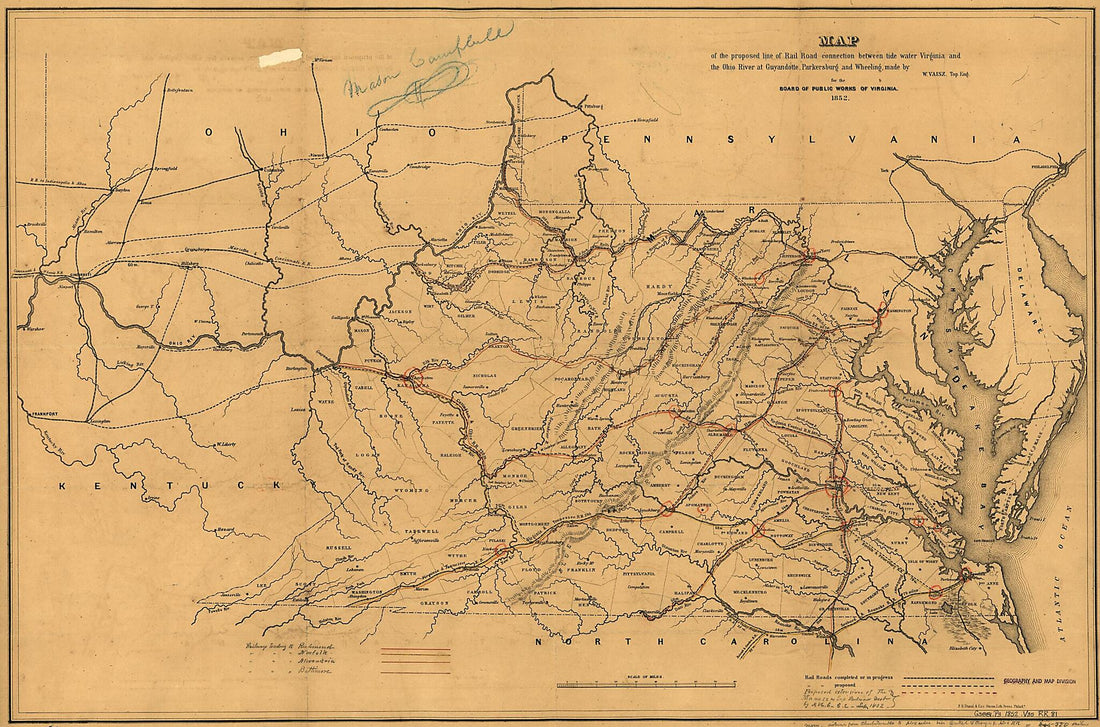 Map of the Proposed Line of Rail Road Connection Between Tide Water Virginia and the Ohio River at Guyandotte, Parkersburg and Wheeling 1852Map of the Proposed Line of Rail Road Connection Between Tide Water Virginia and the Ohio River at Guyandotte, Parkersburg and Wheeling 1852
- Regular price
-
$46.95 $119.95 - Regular price
-
$41.95 - Sale price
-
$46.95 $119.95
-
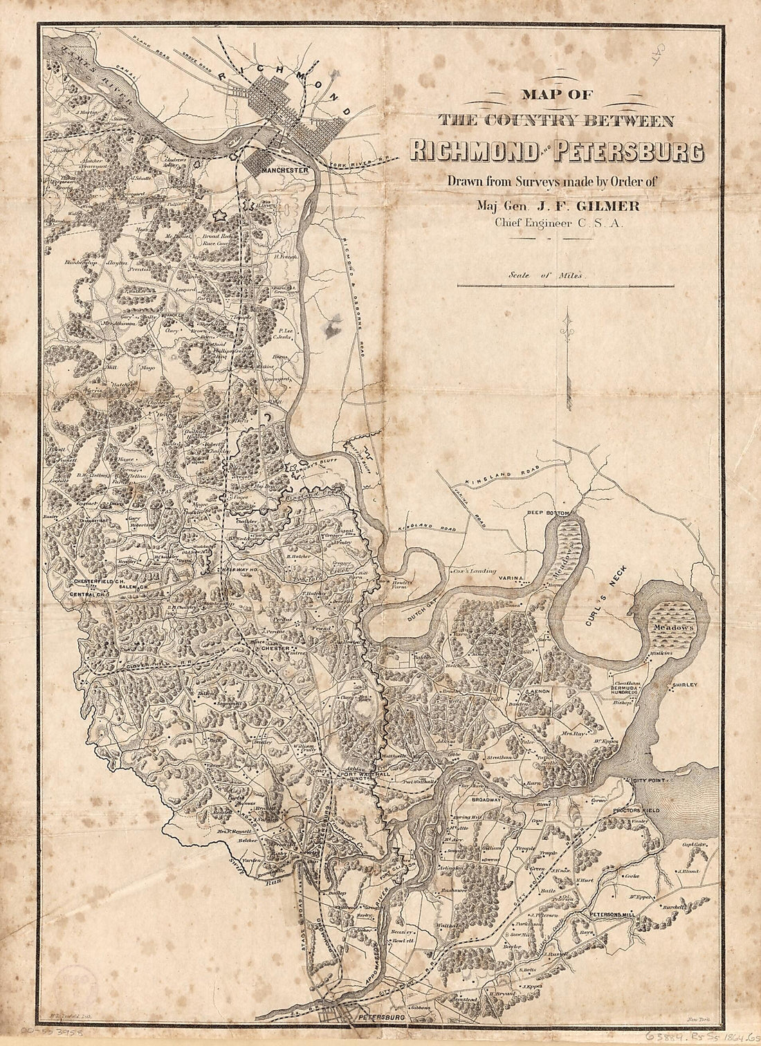 Map of the Country Between Richmond and Petersburg 1864Map of the Country Between Richmond and Petersburg 1864
- Regular price
-
$43.95 $108.95 - Regular price
-
$32.95 - Sale price
-
$43.95 $108.95
-
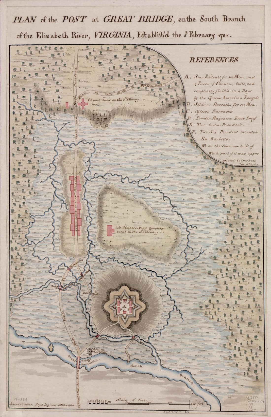 Plan of the Post at Great Bridge, On the South Branch of the Elizabeth River, Virginia, Establish'd the 5th February 1781 1788Plan of the Post at Great Bridge, On the South Branch of the Elizabeth River, Virginia, Establish'd the 5th February 1781 1788
- Regular price
-
$39.95 $99.95 - Regular price
-
$29.95 - Sale price
-
$39.95 $99.95
-
 Map of Dr. Dellinger's Mill Property With 153 Acres of Land Showing Proposed Changes of Public Roads, Bridge Site &c 1867Map of Dr. Dellinger's Mill Property With 153 Acres of Land Showing Proposed Changes of Public Roads, Bridge Site &c 1867
- Regular price
-
$39.95 $83.95 - Regular price
-
$29.95 - Sale price
-
$39.95 $83.95
-
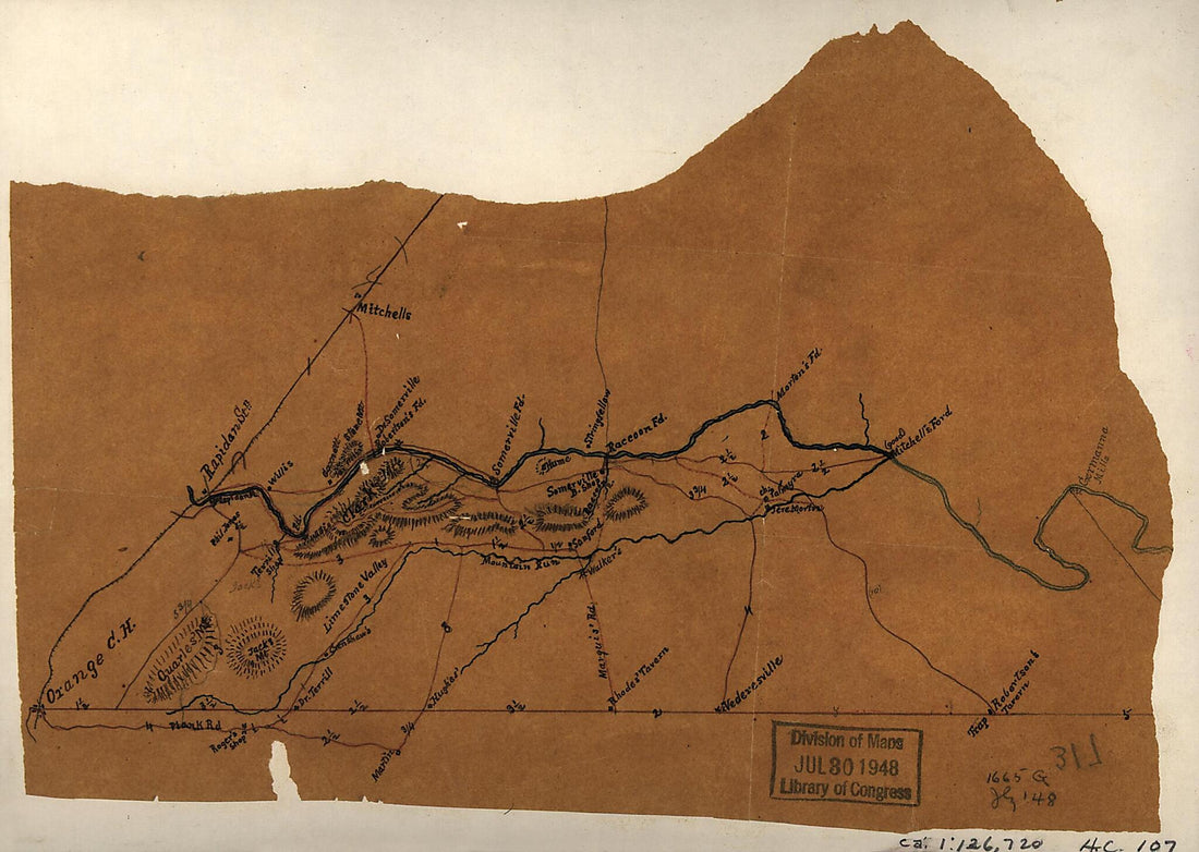 Sketch of a Portion of Orange County, North and East of Orange Showing the Rapidan River from Rapidan Station to Germanna Mills and the Plank Road to Robertson's Tavern at Trap 1862Sketch of a Portion of Orange County, North and East of Orange Showing the Rapidan River from Rapidan Station to Germanna Mills and the Plank Road to Robertson's Tavern at Trap 1862
- Regular price
-
$39.95 $88.95 - Regular price
-
$29.95 - Sale price
-
$39.95 $88.95
-
 Map of Spotsylvania and Caroline Counties, Virginia 1860Map of Spotsylvania and Caroline Counties, Virginia 1860
- Regular price
-
$46.95 $99.95 - Regular price
-
$41.95 - Sale price
-
$46.95 $99.95
-
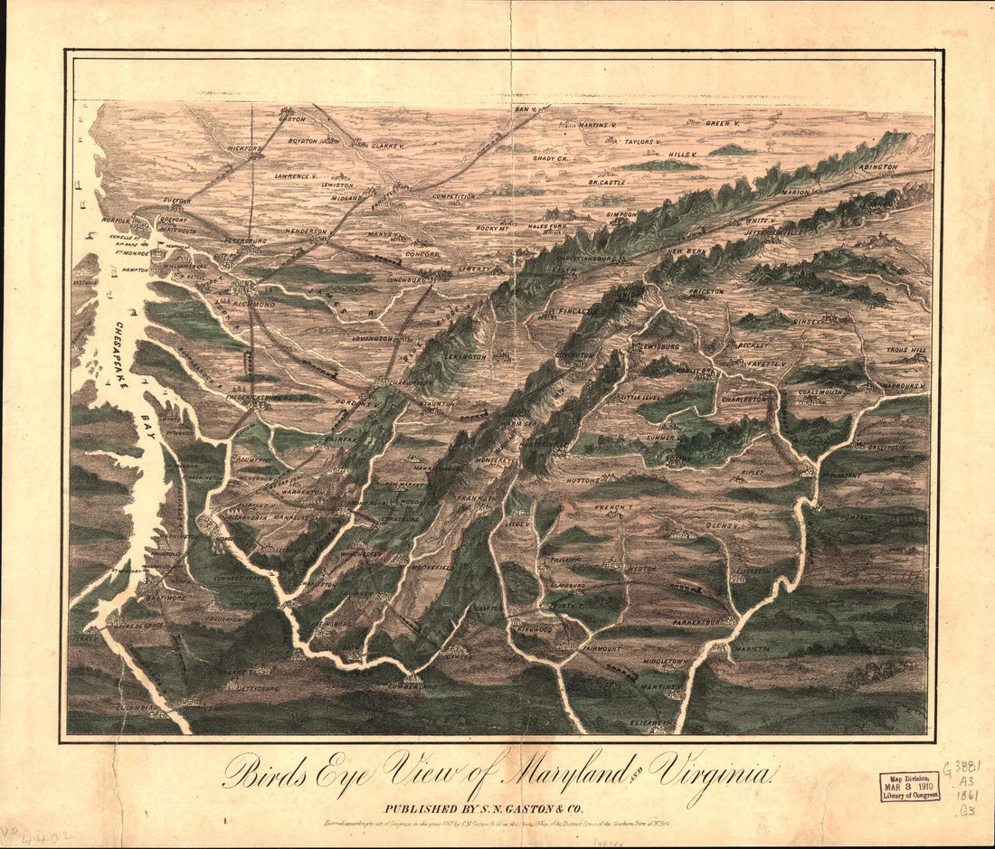 Bird's Eye View of Maryland and Virginia 1861Bird's Eye View of Maryland and Virginia 1861
- Regular price
-
$39.95 $83.95 - Regular price
-
$29.95 - Sale price
-
$39.95 $83.95
-
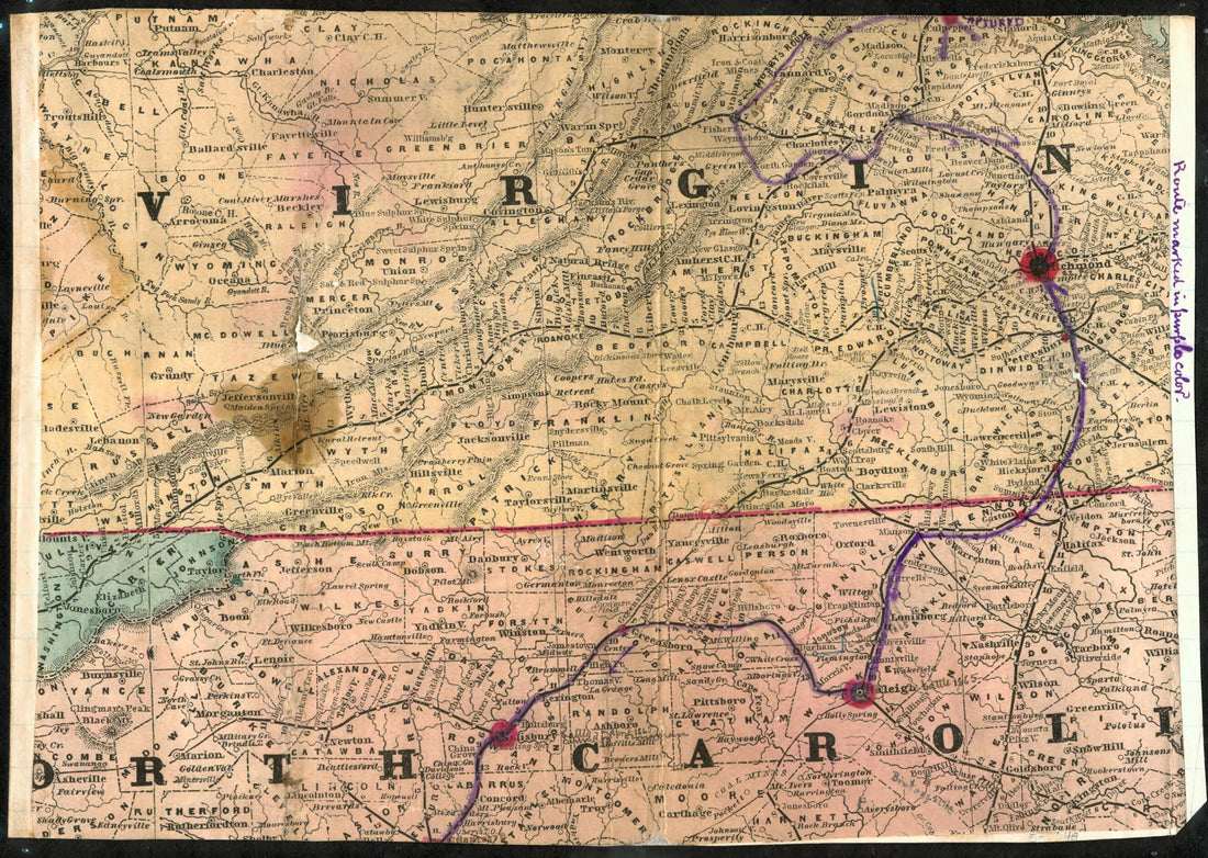 Map of Mosby's Route Through Virginia and North Carolina 1863Map of Mosby's Route Through Virginia and North Carolina 1863
- Regular price
-
$39.95 $88.95 - Regular price
-
$29.95 - Sale price
-
$39.95 $88.95
-
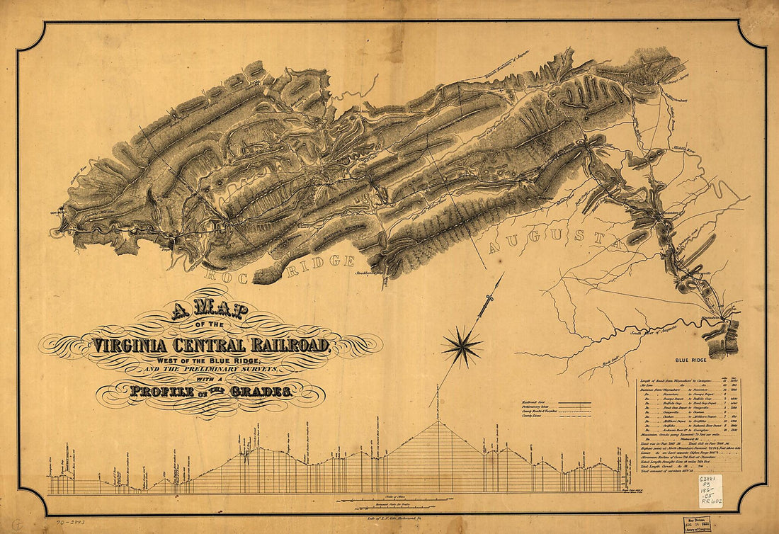 A Map of the Virginia Central Railroad, West of the Blue Ridge, and the Preliminary Surveys, With a Profile of the Grades 1860A Map of the Virginia Central Railroad, West of the Blue Ridge, and the Preliminary Surveys, With a Profile of the Grades 1860
- Regular price
-
$46.95 $131.95 - Regular price
-
$41.95 - Sale price
-
$46.95 $131.95
-
 Northern Virginia With Adjacent Parts of Maryland and West Virginia 1864Northern Virginia With Adjacent Parts of Maryland and West Virginia 1864
- Regular price
-
$39.95 $83.95 - Regular price
-
$34.95 - Sale price
-
$39.95 $83.95
-
 Geological Section Crossing Blue Ridge at White's Gap, Rockbridge County Va. & Extending 10 Miles Beyond Hunterville sic, Pocahontas County, W. Va 1880Geological Section Crossing Blue Ridge at White's Gap, Rockbridge County Va. & Extending 10 Miles Beyond Hunterville sic, Pocahontas County, W. Va 1880
- Regular price
-
$46.95 $300.95 - Regular price
-
$41.95 - Sale price
-
$46.95 $300.95
-
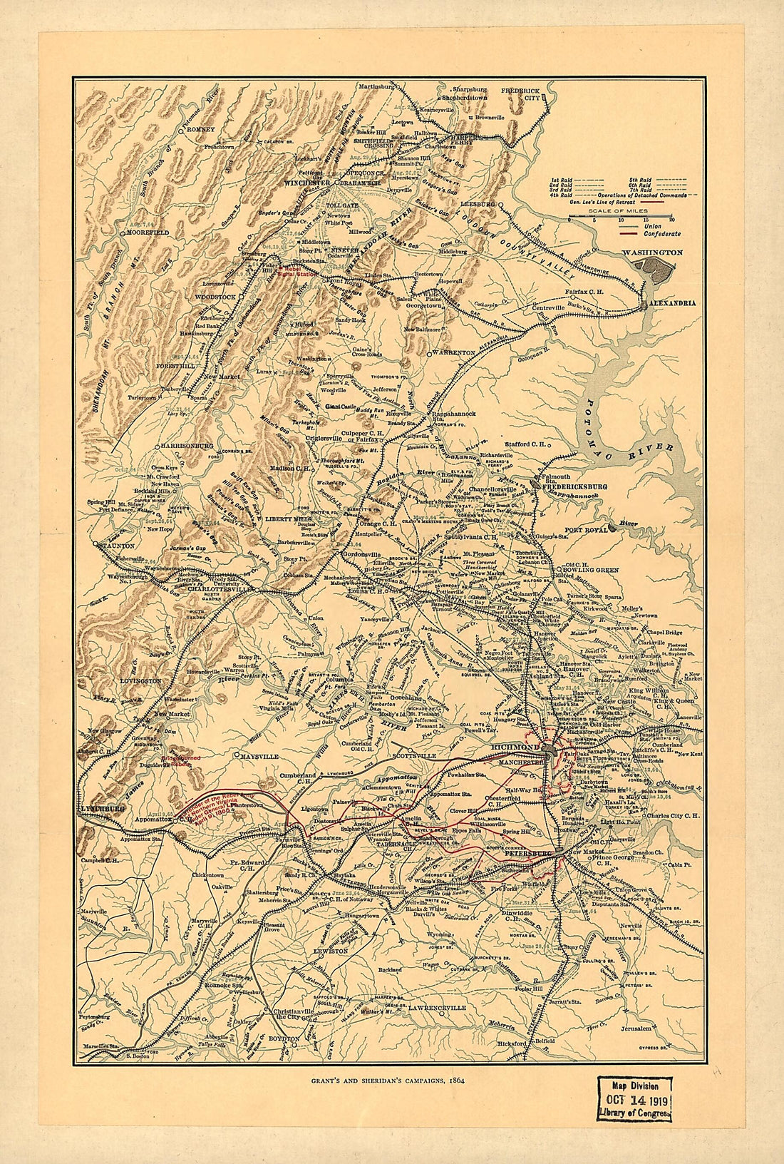 Grant's and Sheridan's Campaigns, 1864 and 1865 1917Grant's and Sheridan's Campaigns, 1864 and 1865 1917
- Regular price
-
$39.95 $99.95 - Regular price
-
$29.95 - Sale price
-
$39.95 $99.95


