890 products
-
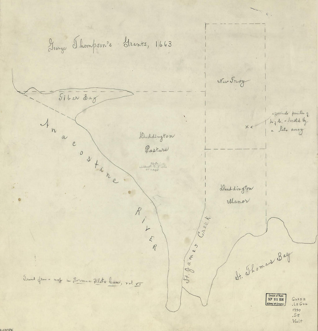 Landholdings 1790Landholdings 1790
- Regular price
-
$39.95 $83.95 - Regular price
-
$34.95 - Sale price
-
$39.95 $83.95
-
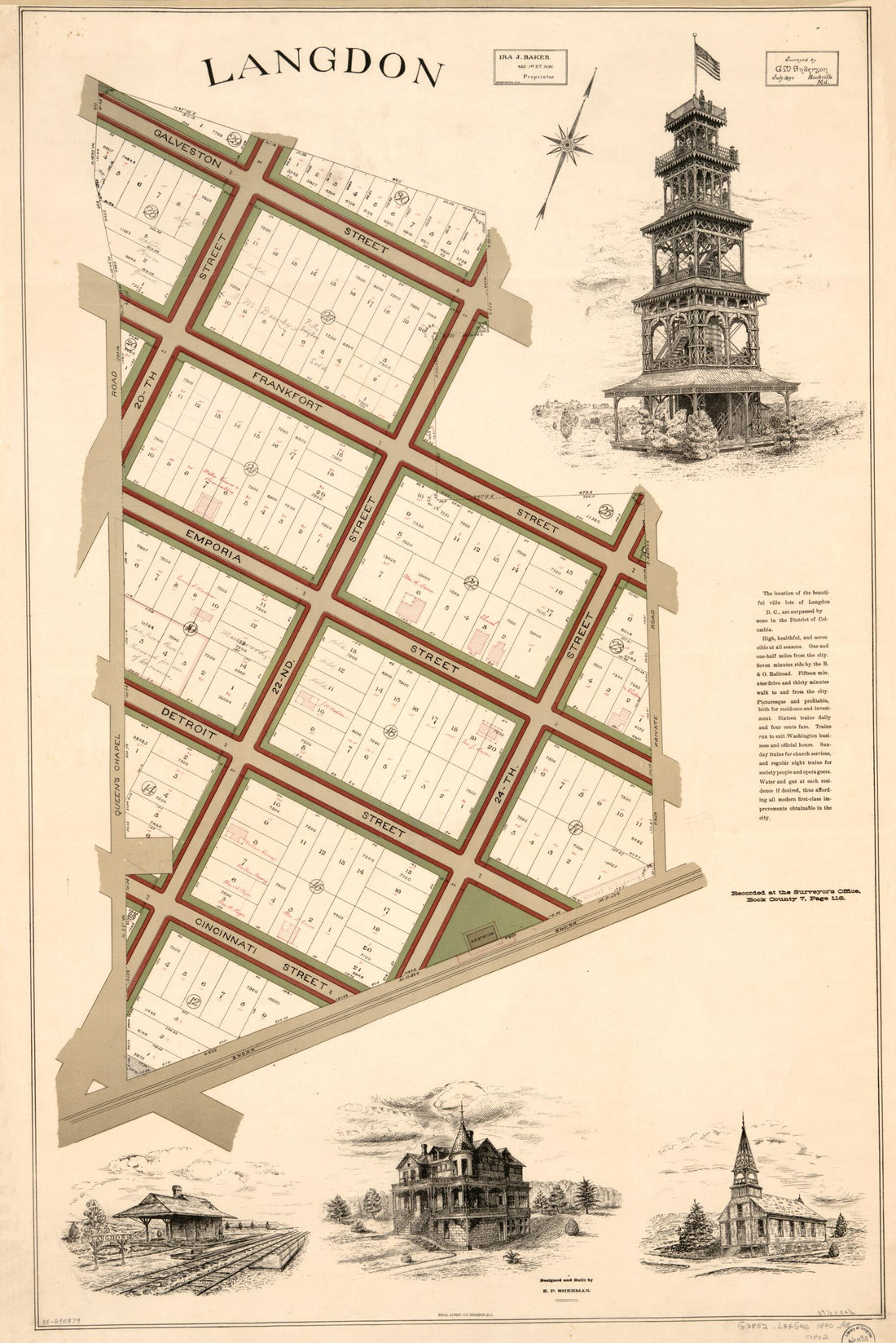 Langdon : part of N.E. Washington D.C. 1890Langdon : part of N.E. Washington D.C. 1890
- Regular price
-
$46.95 $101.95 - Regular price
-
$41.95 - Sale price
-
$46.95 $101.95
-
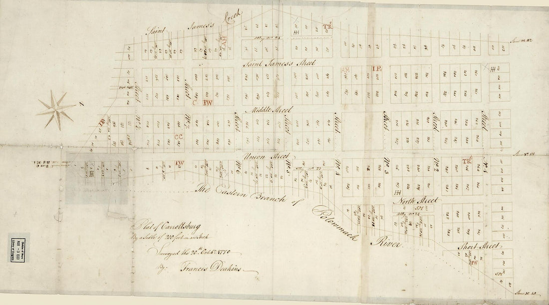 Plat of Carrollsburg 1770Plat of Carrollsburg 1770
- Regular price
-
$46.95 $99.95 - Regular price
-
$41.95 - Sale price
-
$46.95 $99.95
-
 Army Map of the Seat of War In Virginia, Showing the Battle Fields, Fortifications, Etc. On & Near the Potomac River 1862Army Map of the Seat of War In Virginia, Showing the Battle Fields, Fortifications, Etc. On & Near the Potomac River 1862
- Regular price
-
$39.95 $213.95 - Regular price
-
$34.95 - Sale price
-
$39.95 $213.95
-
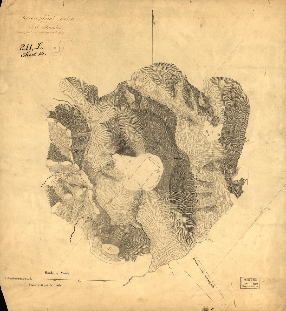 Topographical Sketch Near Fort Staunton from Points Not Under Fire of Its Guns : Washington D.C. 1860Topographical Sketch Near Fort Staunton from Points Not Under Fire of Its Guns : Washington D.C. 1860
- Regular price
-
$39.95 $83.95 - Regular price
-
$34.95 - Sale price
-
$39.95 $83.95
-
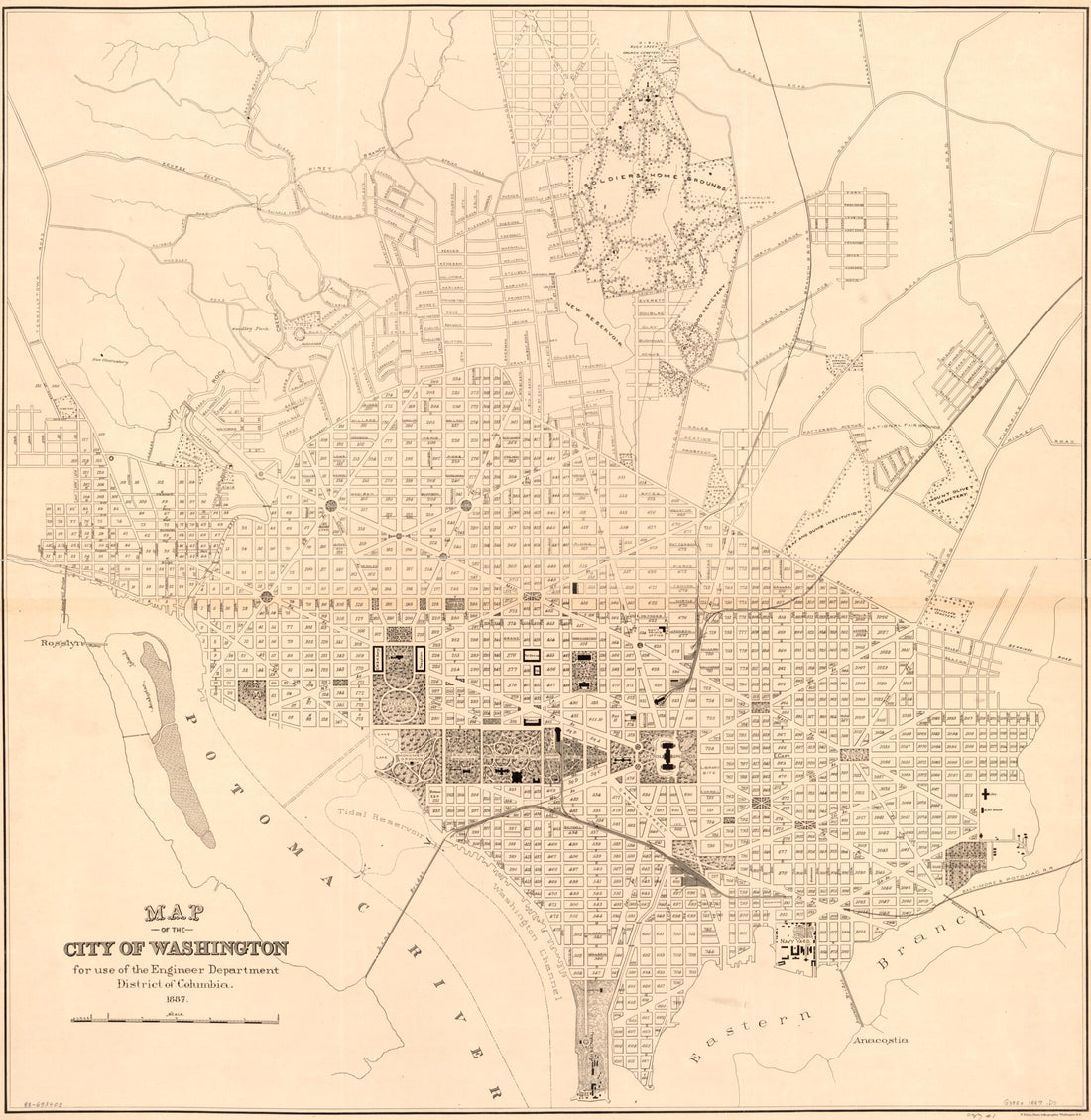 Map of the City of Washington : for Use of the Engineer Department, District of Columbia 1887Map of the City of Washington : for Use of the Engineer Department, District of Columbia 1887
- Regular price
-
$39.95 $151.95 - Regular price
-
$34.95 - Sale price
-
$39.95 $151.95
-
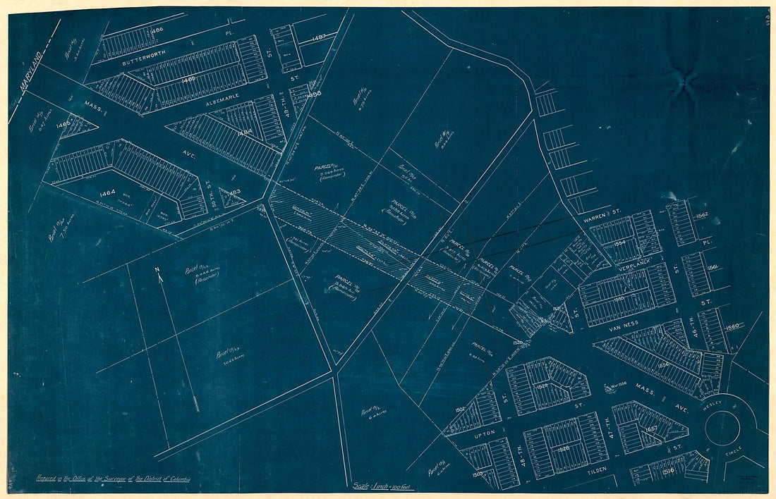 Cadastral Map of Massachusetts Avenue N.W. and Adjacent Parts of American University Park and Spring Valley, Washington D.C. 1910Cadastral Map of Massachusetts Avenue N.W. and Adjacent Parts of American University Park and Spring Valley, Washington D.C. 1910
- Regular price
-
$46.95 $218.95 - Regular price
-
$41.95 - Sale price
-
$46.95 $218.95
-
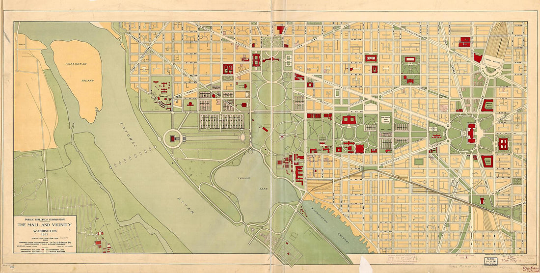 The Mall and Vicinity, Washington : 1927The Mall and Vicinity, Washington : 1927
- Regular price
-
$46.95 $262.95 - Regular price
-
$41.95 - Sale price
-
$46.95 $262.95
-
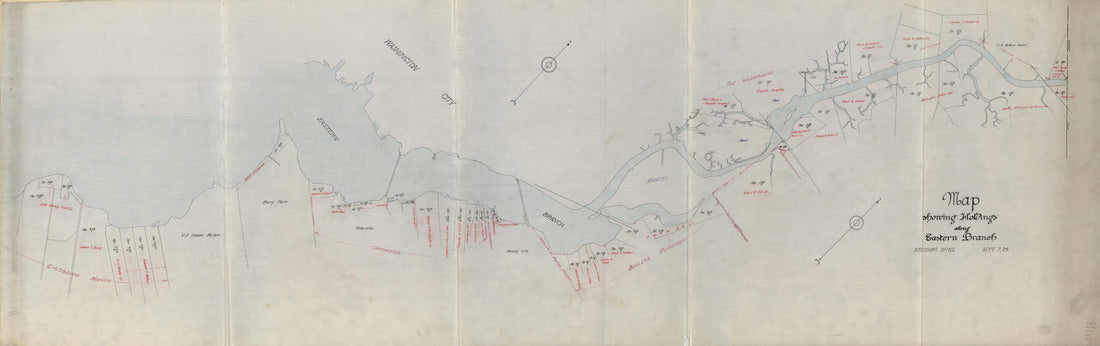 Map Showing Holdings Along Eastern Branch 1909Map Showing Holdings Along Eastern Branch 1909
- Regular price
-
$46.95 $228.95 - Regular price
-
$41.95 - Sale price
-
$46.95 $228.95
-
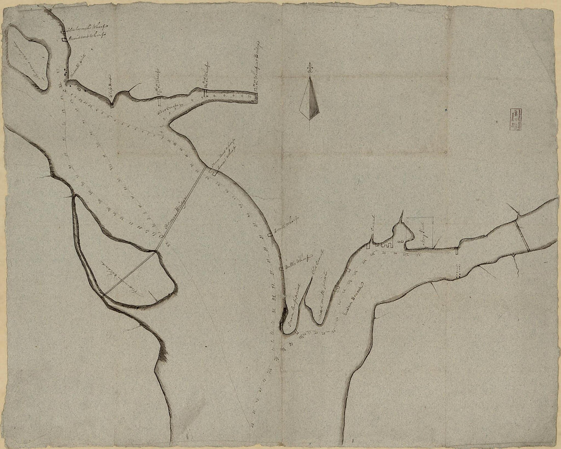 Manuscript Sketch of the Potomac River and Eastern Branch Bounding the City of Washington 1830Manuscript Sketch of the Potomac River and Eastern Branch Bounding the City of Washington 1830
- Regular price
-
$39.95 $127.95 - Regular price
-
$34.95 - Sale price
-
$39.95 $127.95
-
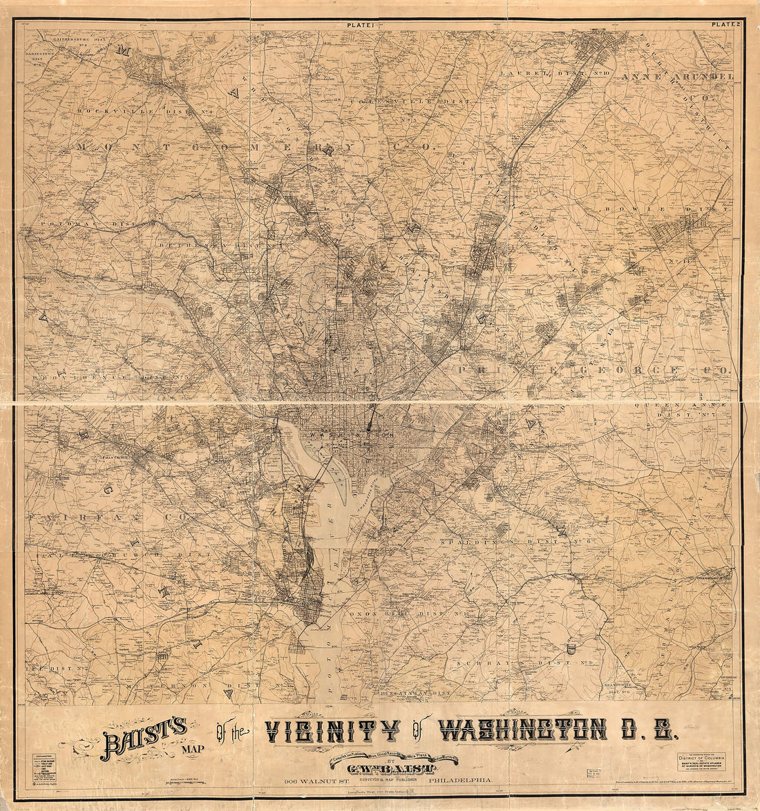 Baist's Map of the Vicinity of Washington D.C 1918Baist's Map of the Vicinity of Washington D.C 1918
- Regular price
-
$39.95 $210.95 - Regular price
-
$34.95 - Sale price
-
$39.95 $210.95
-
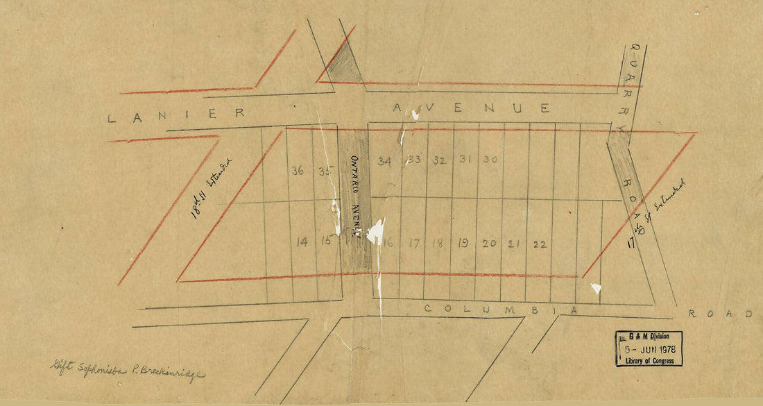 Drawing of Part of Lanier Heights, Washington, D.C., Showing Residential Lots 1890Drawing of Part of Lanier Heights, Washington, D.C., Showing Residential Lots 1890
- Regular price
-
$39.95 $99.95 - Regular price
-
$29.95 - Sale price
-
$39.95 $99.95


