428 products
-
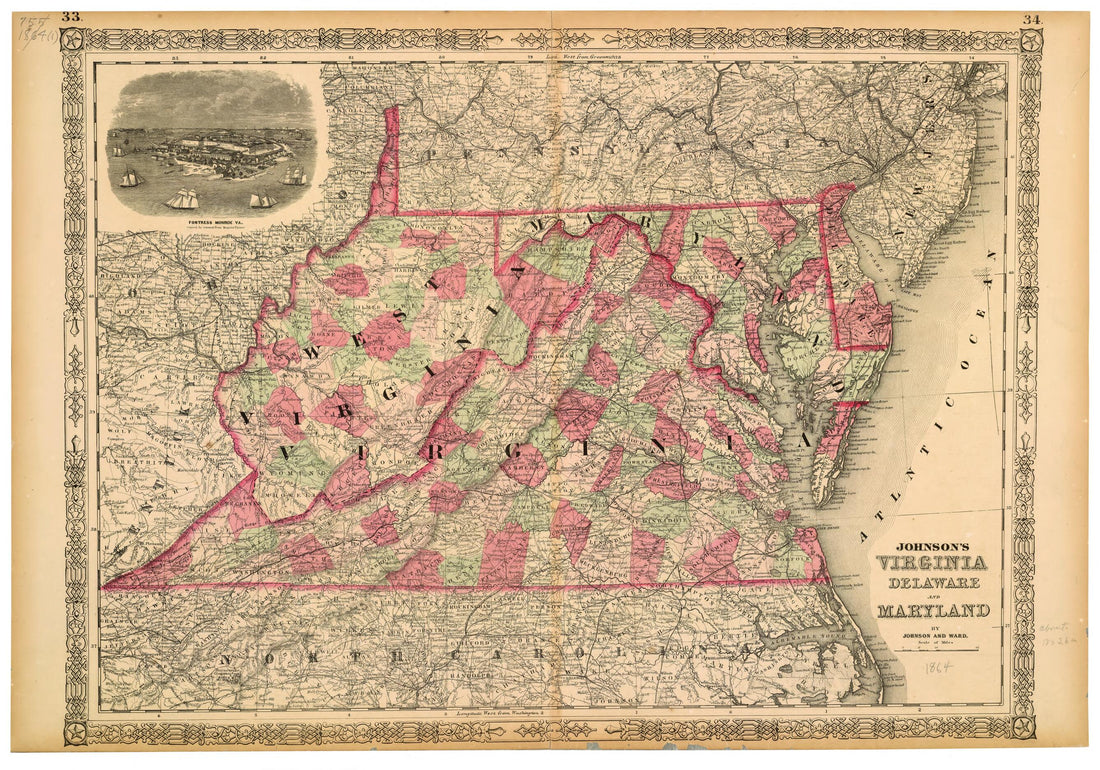 Johnson's Virginia, Delaware and Maryland 1864Johnson's Virginia, Delaware and Maryland 1864
- Regular price
-
$58.95 $99.95 - Regular price
-
$41.95 - Sale price
-
$58.95 $99.95
-
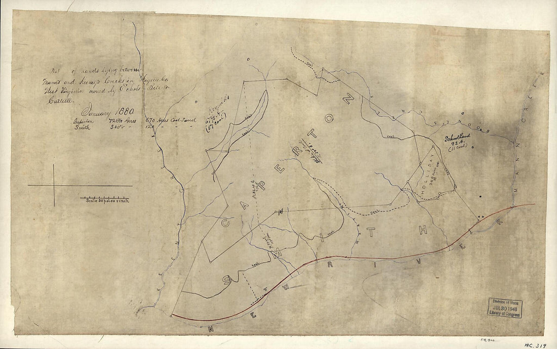 Plat of Lands Lying Between Mann's and Kenney's Creeks In Fayette County, West Virginia, Owned by Echols, Bell & Catlette, January 1880Plat of Lands Lying Between Mann's and Kenney's Creeks In Fayette County, West Virginia, Owned by Echols, Bell & Catlette, January 1880
- Regular price
-
$51.95 $99.95 - Regular price
-
$35.95 - Sale price
-
$51.95 $99.95
-
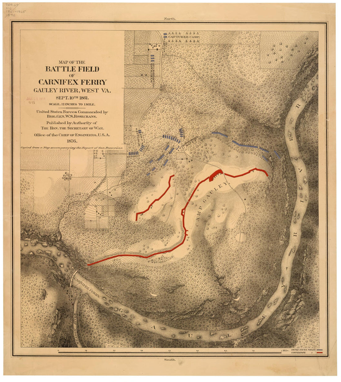
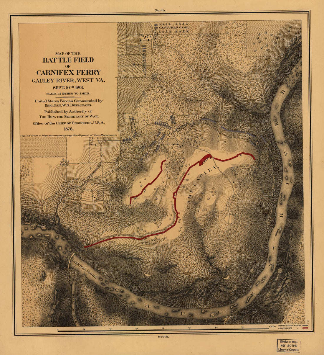 Map of the Battle Field of Carnifex Ferry, Gauley River, West Va., Sept. 10th 1861. United States Forces Commanded by Brig. Gen. W. S. Rosecrans in 1876Map of the Battle Field of Carnifex Ferry, Gauley River, West Va., Sept. 10th 1861. United States Forces Commanded by Brig. Gen. W. S. Rosecrans in 1876
- Regular price
-
$49.95 $83.95 - Regular price
-
$29.95 - Sale price
-
$49.95 $83.95
-
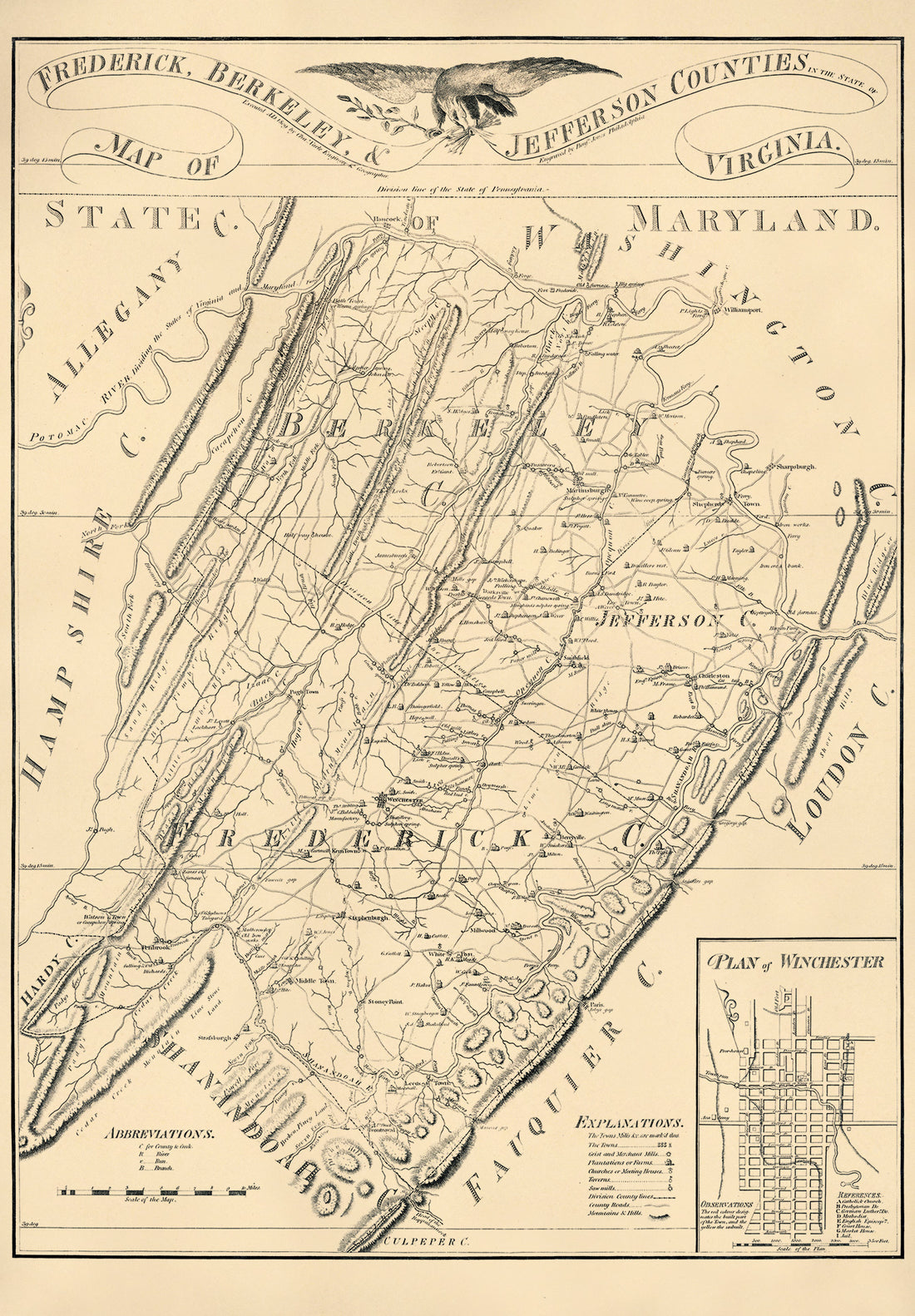 Map of Frederick, Berkeley, and Jefferson Counties In the State of Virginia in 1809Map of Frederick, Berkeley, and Jefferson Counties In the State of Virginia in 1809
- Regular price
-
$58.95 $162.95 - Regular price
-
$41.95 - Sale price
-
$58.95 $162.95
-
 Map of the Battle Field of Carnifex Ferry, Gauley River, West Va., Sept. 10th 1861 : United States Forces Commanded by Brig. Gen. W.S. Rosecrans in 1876Map of the Battle Field of Carnifex Ferry, Gauley River, West Va., Sept. 10th 1861 : United States Forces Commanded by Brig. Gen. W.S. Rosecrans in 1876
- Regular price
-
$49.95 $83.95 - Regular price
-
$34.95 - Sale price
-
$49.95 $83.95
-
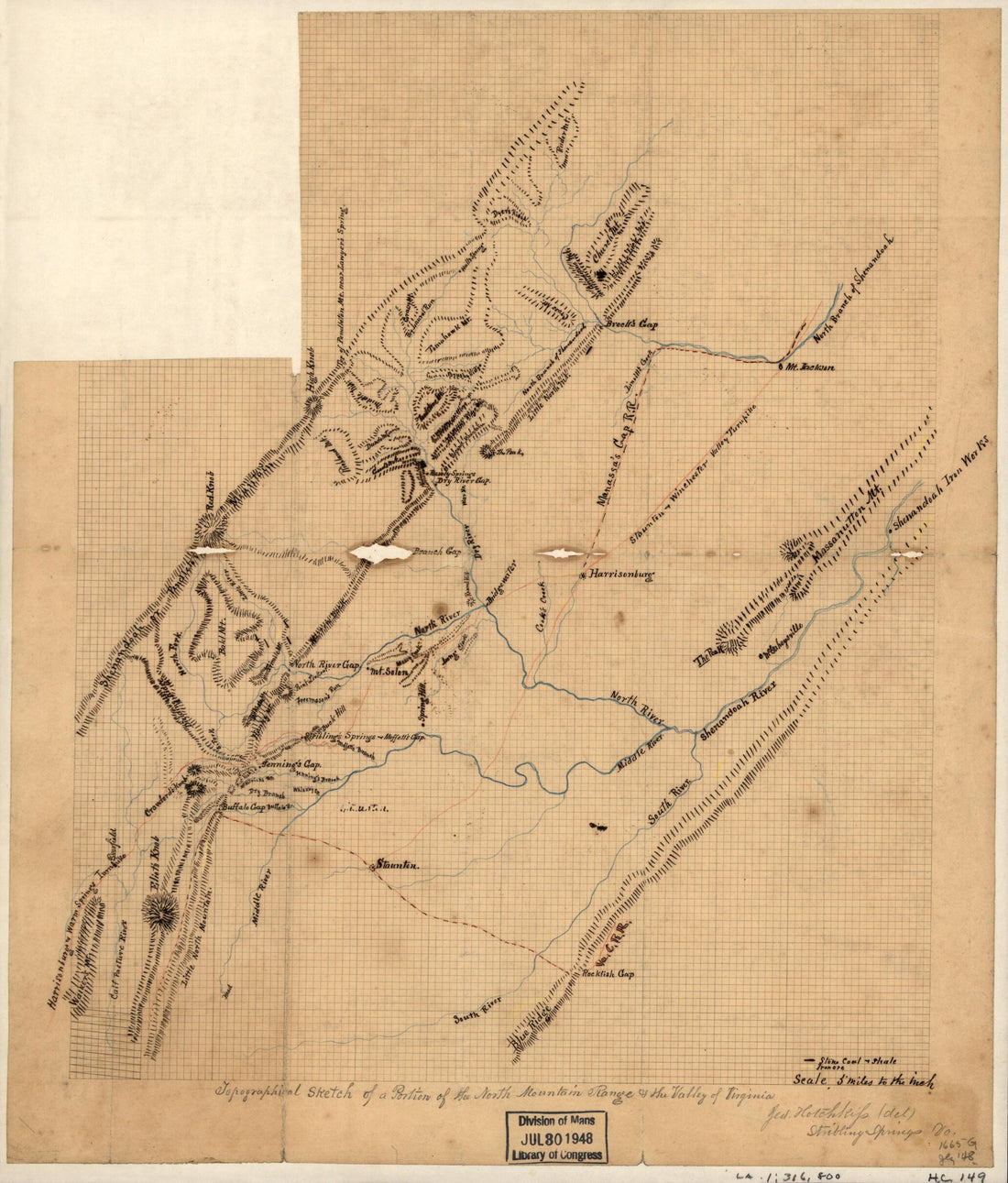 Topographical Sketch of a Portion of the North Mountain Range & the Valley of Virginia in 1863Topographical Sketch of a Portion of the North Mountain Range & the Valley of Virginia in 1863
- Regular price
-
$49.95 $83.95 - Regular price
-
$29.95 - Sale price
-
$49.95 $83.95
-
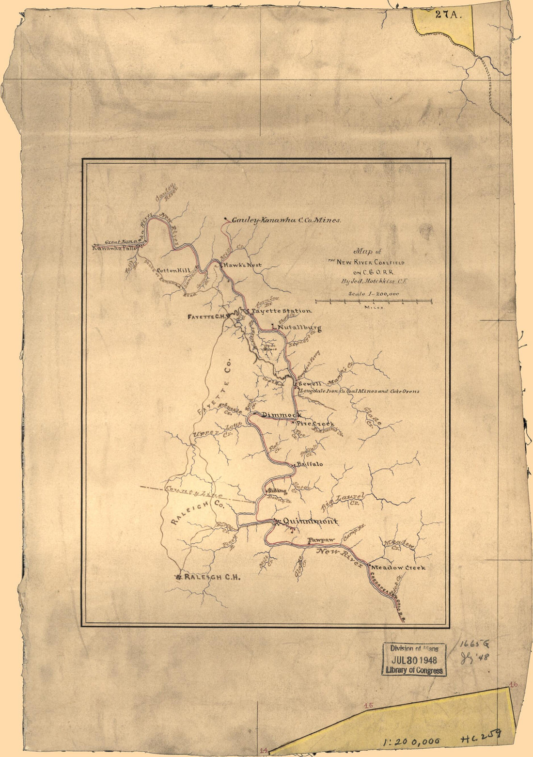 Map of the New River Coalfield On C.& O. R.R in 1880Map of the New River Coalfield On C.& O. R.R in 1880
- Regular price
-
$49.95 $88.95 - Regular price
-
$29.95 - Sale price
-
$49.95 $88.95
-
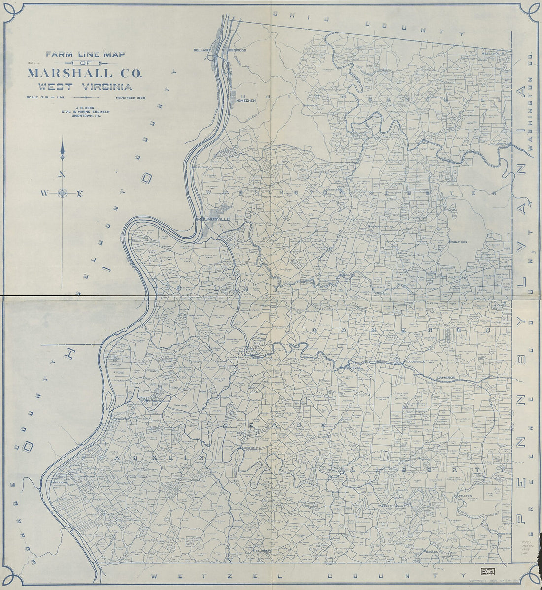 Farm Line Map of Marshall County, West Virginia (Farm Line Map of Marshall County, West Virginia) 1909Farm Line Map of Marshall County, West Virginia (Farm Line Map of Marshall County, West Virginia) 1909
- Regular price
-
$49.95 $203.95 - Regular price
-
$34.95 - Sale price
-
$49.95 $203.95
-
 Rough Sketch of Roads and Streams In Pocahontas and Greenbrier Counties, West Virginia in 1870Rough Sketch of Roads and Streams In Pocahontas and Greenbrier Counties, West Virginia in 1870
- Regular price
-
$49.95 $99.95 - Regular price
-
$29.95 - Sale price
-
$49.95 $99.95
-
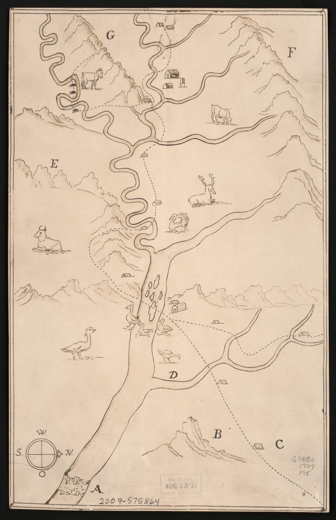 Michel's Map: in 1707Michel's Map: in 1707
- Regular price
-
$49.95 $99.95 - Regular price
-
$29.95 - Sale price
-
$49.95 $99.95
-
 Insurance Map of Charleston, W. Va in 1874Insurance Map of Charleston, W. Va in 1874
- Regular price
-
$49.95 $144.95 - Regular price
-
$34.95 - Sale price
-
$49.95 $144.95
-
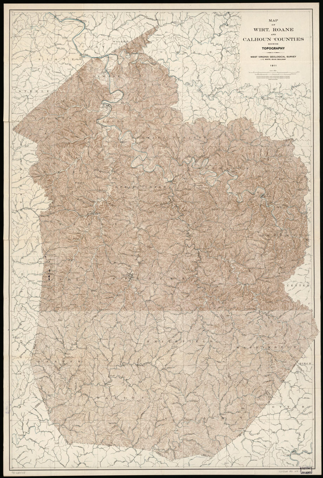 Map of Wirt, Roane, and Calhoun Counties Showing Topography in 1911Map of Wirt, Roane, and Calhoun Counties Showing Topography in 1911
- Regular price
-
$58.95 $164.95 - Regular price
-
$41.95 - Sale price
-
$58.95 $164.95


