Quick links
19716 products
-
Plan of the City of Washington In the Territory of Columbia : Ceded by the States of Virginia and Maryland to the United States of America, and by Them Established As the Seat of Their Government After the Year MDCCC 1792
 Plan of the City of Washington In the Territory of Columbia : Ceded by the States of Virginia and Maryland to the United States of America, and by Them Established As the Seat of Their Government After the Year MDCCC 1792
- Regular price
-
From
$34.95 - Regular price
-
$49.99 - Sale price
-
From
$34.95
-
Map of Alabama 1888
 Map of Alabama 1888
- Regular price
-
From
$30.95 - Regular price
-
$48.95 - Sale price
-
From
$30.95
-
Colton's Railroad and Express Map of the Northwestern States Showing Countries, Towns, Railroads, Station, Distances, Etc 1872
 Colton's Railroad and Express Map of the Northwestern States Showing Countries, Towns, Railroads, Station, Distances, Etc 1872
- Regular price
-
From
$32.95 - Regular price
-
$51.99 - Sale price
-
From
$32.95
-
A Correct Map of the United States of America Showing the Atchison, Topeka, and Santa Fé R.R. and Connections 1888
 A Correct Map of the United States of America Showing the Atchison, Topeka, and Santa Fé R.R. and Connections 1888
- Regular price
-
From
$41.95 - Regular price
-
$65.95 - Sale price
-
From
$41.95
-
Isothermal Chart of the Region North of the 36th Parallel &c. &c. Between the Atlantic & Pacific Oceans; Compiled Under the Direction of Isaac I. Stevens, Govnr. of Washington Territory 1859
 Isothermal Chart of the Region North of the 36th Parallel &c. &c. Between the Atlantic & Pacific Oceans; Compiled Under the Direction of Isaac I. Stevens, Govnr. of Washington Territory 1859
- Regular price
-
From
$41.95 - Regular price
-
$66.99 - Sale price
-
From
$41.95
-
A New and Complete Railroad Map of the United States Compiled from Reliable Sources 1857
 A New and Complete Railroad Map of the United States Compiled from Reliable Sources 1857
- Regular price
-
From
$34.95 - Regular price
-
$49.99 - Sale price
-
From
$34.95
-
細見京繪圖大全 /, Kyō Ezu Taizen, Seikyō Chizu, Zen, Tenpō Kaisei Shinzō Saiken Kyō Ezu Taizen, Kan in 1835
 細見京繪圖大全 /, Kyō Ezu Taizen, Seikyō Chizu, Zen, Tenpō Kaisei Shinzō Saiken Kyō Ezu Taizen, Kan in 1835
- Regular price
-
From
$41.95 - Regular price
-
$66.99 - Sale price
-
From
$41.95
-
豫省黃河南岸堤垻工程圖, Map of Embankment Project of the Yellow River in 1875
 豫省黃河南岸堤垻工程圖, Map of Embankment Project of the Yellow River in 1875
- Regular price
-
From
$41.95 - Regular price
-
$66.99 - Sale price
-
From
$41.95
-
Topographical Map of Union County, South Dakota : Compiled and Drawn from Official Records and a Special Survey 1892
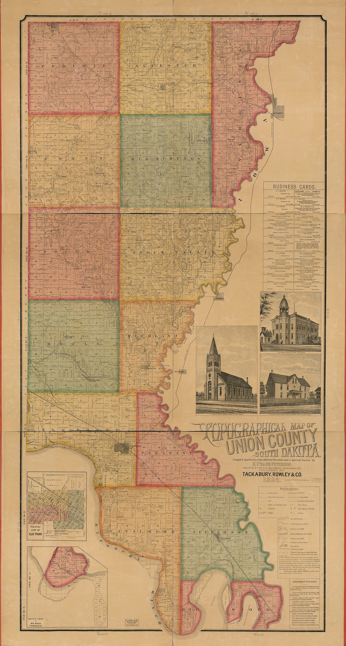 Topographical Map of Union County, South Dakota : Compiled and Drawn from Official Records and a Special Survey 1892
- Regular price
-
From
$41.95 - Regular price
-
$66.99 - Sale price
-
From
$41.95
-
Map of the Parish of Franklin, Louisiana : From the United States Surveys in 1860
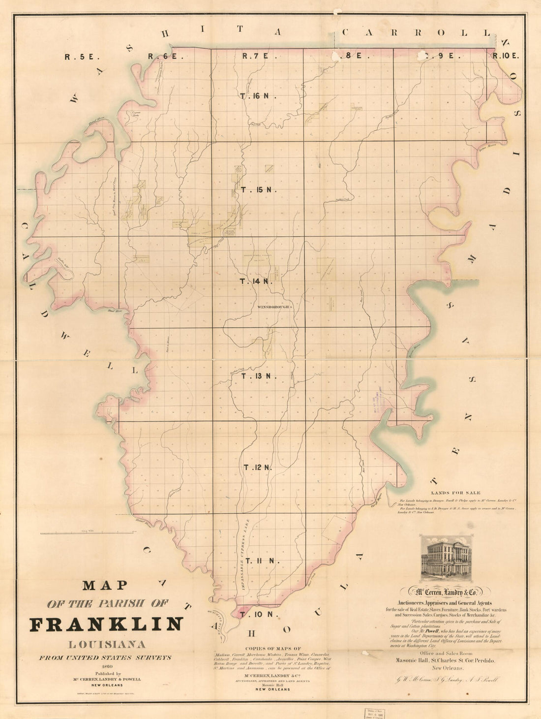 Map of the Parish of Franklin, Louisiana : From the United States Surveys in 1860
- Regular price
-
From
$32.95 - Regular price
-
$51.99 - Sale price
-
From
$32.95
-
Venango, Crawford & Warren Counties, Pennsylvania 1864
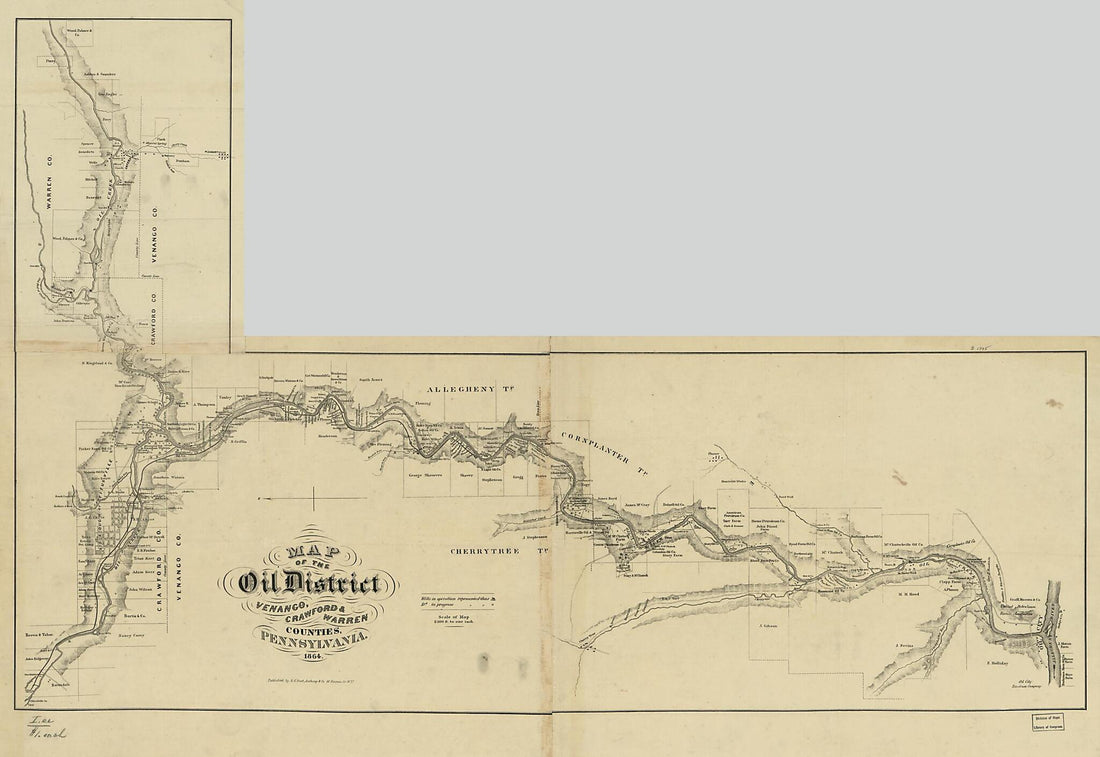 Venango, Crawford & Warren Counties, Pennsylvania 1864
- Regular price
-
From
$41.95 - Regular price
-
$66.99 - Sale price
-
From
$41.95
-
Map of Menard County, Texas 1894
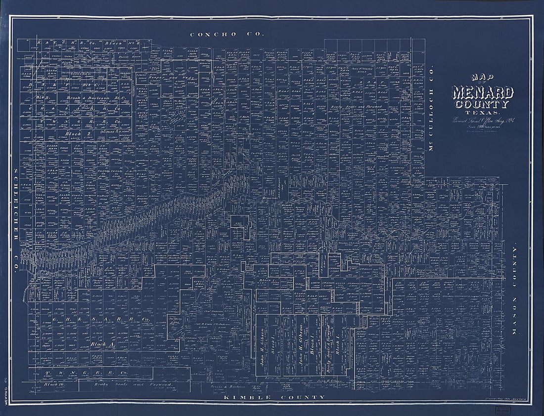 Map of Menard County, Texas 1894
- Regular price
-
From
$32.95 - Regular price
-
$51.99 - Sale price
-
From
$32.95


