Quick links
19716 products
-
Map of Town of Canaan, Connecticut in 1853
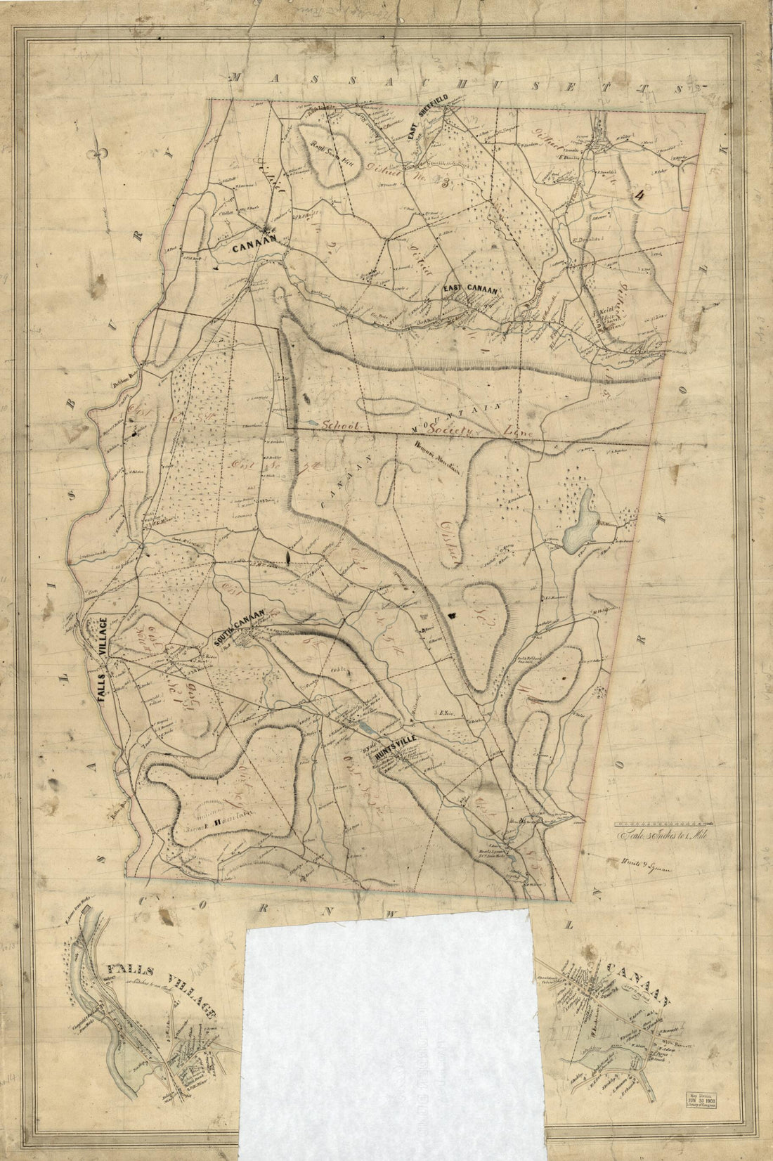 Map of Town of Canaan, Connecticut in 1853
- Regular price
-
From
$41.95 - Regular price
-
$66.99 - Sale price
-
From
$41.95
-
Plan of Fort Rosalia 1770
 Plan of Fort Rosalia 1770
- Regular price
-
From
$19.95 - Regular price
-
$29.95 - Sale price
-
From
$19.95
-
64 to Accompany Report of the Battlefield Commission Created by Act of Congress Public No. 261, 68th Congress Dated 1925. 26 X 34 Cm
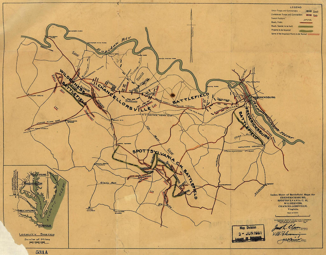 64 to Accompany Report of the Battlefield Commission Created by Act of Congress Public No. 261, 68th Congress Dated 1925. 26 X 34 Cm
- Regular price
-
From
$19.95 - Regular price
-
$29.95 - Sale price
-
From
$19.95
-
Map of a Part of Louisiana and Mississippi, Illustrating the Operations of the U.S. Forces, In the Department of the Gulf 1863
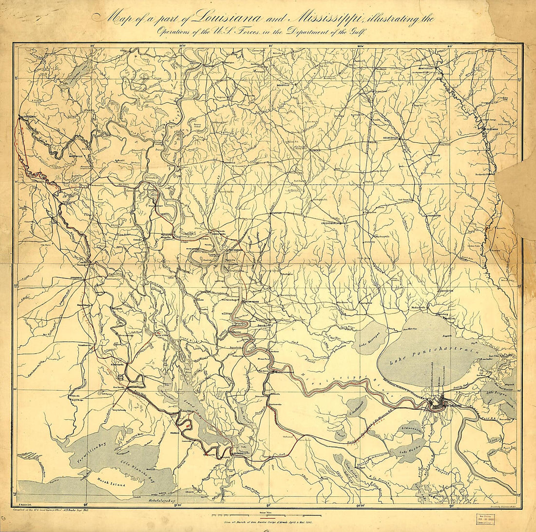 Map of a Part of Louisiana and Mississippi, Illustrating the Operations of the U.S. Forces, In the Department of the Gulf 1863
- Regular price
-
From
$34.95 - Regular price
-
$49.99 - Sale price
-
From
$34.95
-
Map of Part of the United States Exhibiting the Principal Mail Routes West of the Mississippi River in 1867
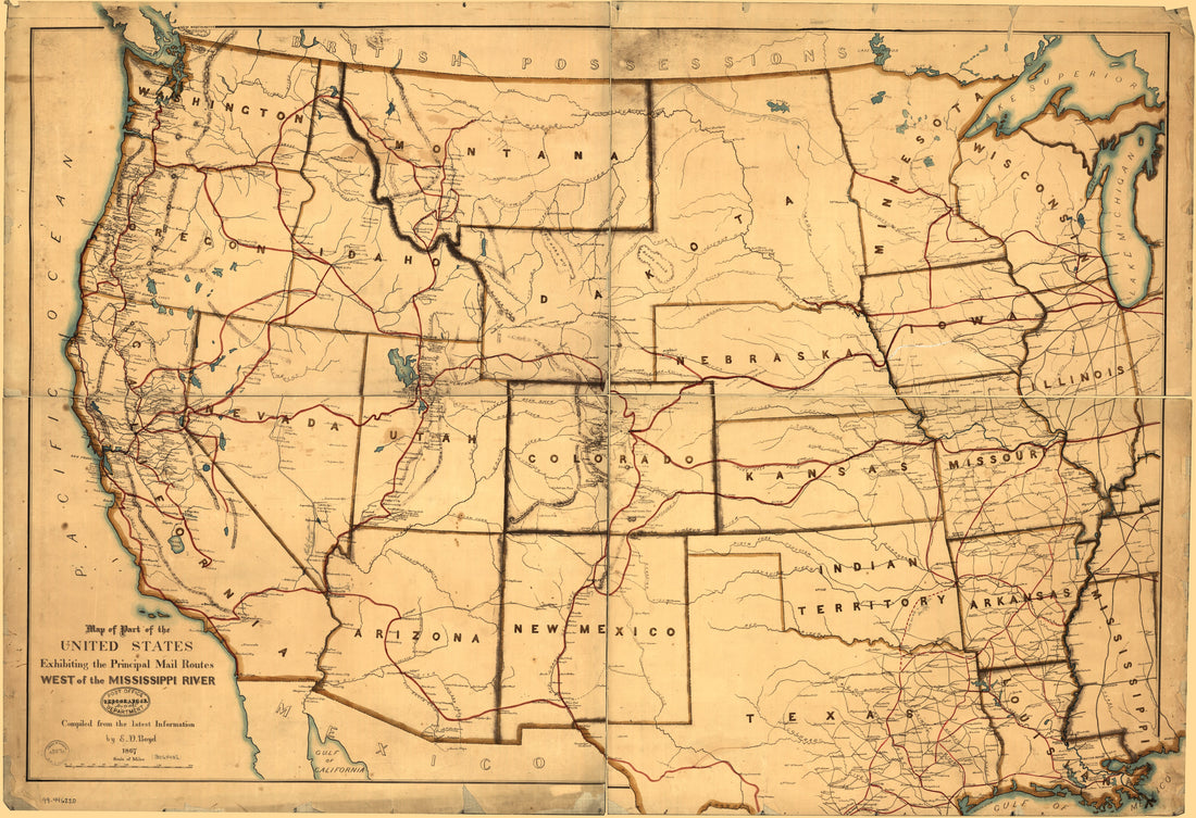 Map of Part of the United States Exhibiting the Principal Mail Routes West of the Mississippi River in 1867
- Regular price
-
From
$41.95 - Regular price
-
$66.99 - Sale price
-
From
$41.95
-
Indexed Map of New Mexico Showing Stage Lines, Counties Lake & Rivers in 1879
 Indexed Map of New Mexico Showing Stage Lines, Counties Lake & Rivers in 1879
- Regular price
-
From
$27.95 - Regular price
-
$45.99 - Sale price
-
From
$27.95
-
Plan of the City of Panama 1850
 Plan of the City of Panama 1850
- Regular price
-
From
$21.95 - Regular price
-
$33.95 - Sale price
-
From
$21.95
-
Cadastral Map of Part of the West End, Washington D.C. 1800
 Cadastral Map of Part of the West End, Washington D.C. 1800
- Regular price
-
From
$19.95 - Regular price
-
$29.95 - Sale price
-
From
$19.95
-
Map of Washington, D.C., and Environs : With Marginal Numbers and Measuring Tape Attachment for Instantly Locating Points of Interest Within a Radius of Twenty Miles from the Capitol 1887
 Map of Washington, D.C., and Environs : With Marginal Numbers and Measuring Tape Attachment for Instantly Locating Points of Interest Within a Radius of Twenty Miles from the Capitol 1887
- Regular price
-
From
$34.95 - Regular price
-
$49.99 - Sale price
-
From
$34.95
-
Exhibit Chart Showing Streets & Avenues of the Cities of Washington and Georgetown, Improved Under the Board of Public Works, D.C. : Nov. 1st 1873 : Sewers
 Exhibit Chart Showing Streets & Avenues of the Cities of Washington and Georgetown, Improved Under the Board of Public Works, D.C. : Nov. 1st 1873 : Sewers
- Regular price
-
From
$34.95 - Regular price
-
$49.99 - Sale price
-
From
$34.95
-
Fitchburg Railroad With Its Branches and Connections 1880
 Fitchburg Railroad With Its Branches and Connections 1880
- Regular price
-
From
$19.95 - Regular price
-
$29.95 - Sale price
-
From
$19.95
-
A Map of 100 Miles Round Boston in 1775
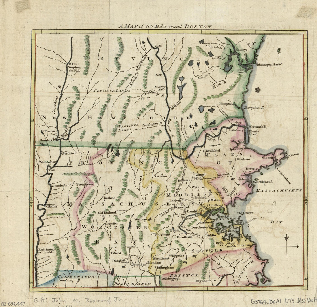 A Map of 100 Miles Round Boston in 1775
- Regular price
-
From
$19.95 - Regular price
-
$29.95 - Sale price
-
From
$19.95


