Quick links
19716 products
-
Map of the Proposed Northern Route for a Railroad to the Pacific in 1853
 Map of the Proposed Northern Route for a Railroad to the Pacific in 1853
- Regular price
-
From
$41.95 - Regular price
-
$66.99 - Sale price
-
From
$41.95
-
Pennsylvania, Nova Jersey Et Nova York Cum Regionibus Ad Fluvium Delaware In America Sitis in 1748
 Pennsylvania, Nova Jersey Et Nova York Cum Regionibus Ad Fluvium Delaware In America Sitis in 1748
- Regular price
-
From
$34.95 - Regular price
-
$49.99 - Sale price
-
From
$34.95
-
Carte Figurative Et Approximative Représentant Pour L'année 1858 Les émigrants Du Globe, Les Pays Dóu Ils Partent Et Ceux Oú Ils Arrivent
 Carte Figurative Et Approximative Représentant Pour L'année 1858 Les émigrants Du Globe, Les Pays Dóu Ils Partent Et Ceux Oú Ils Arrivent
- Regular price
-
From
$32.95 - Regular price
-
$51.99 - Sale price
-
From
$32.95
-
Map of the United States of America : With the Contiguous British and Spanish Possessions in 1820
 Map of the United States of America : With the Contiguous British and Spanish Possessions in 1820
- Regular price
-
From
$41.95 - Regular price
-
$66.99 - Sale price
-
From
$41.95
-
Plano De Puerto Cavello Situado En La Costa De Caracas En La Latd. De 10 Gs. 26 Ms. N. Y En La Longd. De 308 Gs. 37 Ms. Segun El Meridiano De Thenerife 1756
 Plano De Puerto Cavello Situado En La Costa De Caracas En La Latd. De 10 Gs. 26 Ms. N. Y En La Longd. De 308 Gs. 37 Ms. Segun El Meridiano De Thenerife 1756
- Regular price
-
From
$26.95 - Regular price
-
$41.95 - Sale price
-
From
$26.95
-
Plan of the West End of the Public Appropriation In the City of Washington, Called the Mall : As Proposed to Be Arranged for the Site of the University 1816
 Plan of the West End of the Public Appropriation In the City of Washington, Called the Mall : As Proposed to Be Arranged for the Site of the University 1816
- Regular price
-
From
$25.95 - Regular price
-
$40.95 - Sale price
-
From
$25.95
-
A New Chart of the Bahama Banks and Islands With a Part of the Island of Cuba & Coast of East Florida With All the Shoals, Reefs and Banks In Its Vicinity 1817
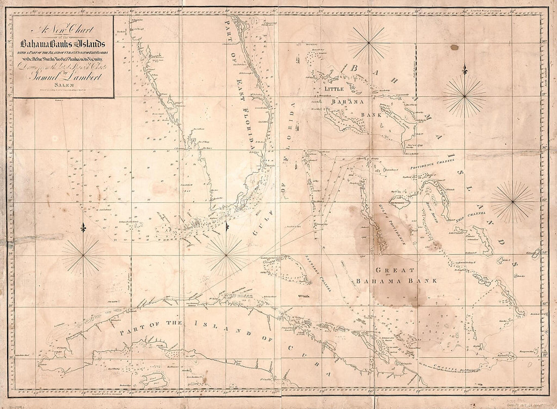 A New Chart of the Bahama Banks and Islands With a Part of the Island of Cuba & Coast of East Florida With All the Shoals, Reefs and Banks In Its Vicinity 1817
- Regular price
-
From
$32.95 - Regular price
-
$51.99 - Sale price
-
From
$32.95
-
Jeu Géographique De La République Française : Présenté à La Convention Nationale in 1795
 Jeu Géographique De La République Française : Présenté à La Convention Nationale in 1795
- Regular price
-
From
$41.95 - Regular price
-
$66.99 - Sale price
-
From
$41.95
-
Map of Louisiana, from D'Anville's Atlas 1788
 Map of Louisiana, from D'Anville's Atlas 1788
- Regular price
-
From
$41.95 - Regular price
-
$66.99 - Sale price
-
From
$41.95
-
Plan De La Ville De Louisbourg Dans L'Isle Royale 1764
 Plan De La Ville De Louisbourg Dans L'Isle Royale 1764
- Regular price
-
From
$32.95 - Regular price
-
$51.99 - Sale price
-
From
$32.95
-
A Map of the State of Maryland 1852
 A Map of the State of Maryland 1852
- Regular price
-
From
$41.95 - Regular price
-
$66.99 - Sale price
-
From
$41.95


