Quick links
19716 products
-
Map of the United States, Territory of Oregon, West of the Rocky Mountains, Exhibiting the Various Trading Depots Or Forts Occupied by the British Hudson Bay Company, Connected With the Western and Northwestern Fur Trade 1838
 Map of the United States, Territory of Oregon, West of the Rocky Mountains, Exhibiting the Various Trading Depots Or Forts Occupied by the British Hudson Bay Company, Connected With the Western and Northwestern Fur Trade 1838
- Regular price
-
From
$32.95 - Regular price
-
$51.99 - Sale price
-
From
$32.95
-
An Outline of the Newly Consolidated City, Showing the Boundaries of the Wards : According to the Act Passed by the Legislature, Jany. 31st, in 1854
 An Outline of the Newly Consolidated City, Showing the Boundaries of the Wards : According to the Act Passed by the Legislature, Jany. 31st, in 1854
- Regular price
-
From
$34.95 - Regular price
-
$49.99 - Sale price
-
From
$34.95
-
The West Indies, Exhibiting the English, French, Spanish, Dutch & Danish Settlements With the Adjacent Parts of North & South America, from the Best Authorities 1777
 The West Indies, Exhibiting the English, French, Spanish, Dutch & Danish Settlements With the Adjacent Parts of North & South America, from the Best Authorities 1777
- Regular price
-
From
$23.95 - Regular price
-
$36.95 - Sale price
-
From
$23.95
-
A Plan of Louisbourg 1700
 A Plan of Louisbourg 1700
- Regular price
-
From
$32.95 - Regular price
-
$51.99 - Sale price
-
From
$32.95
-
A Map of the Caribbee, Granadilles and Virgin Isles in 1789
 A Map of the Caribbee, Granadilles and Virgin Isles in 1789
- Regular price
-
From
$32.95 - Regular price
-
$51.99 - Sale price
-
From
$32.95
-
Plan De Puerto De Mariel in 1768
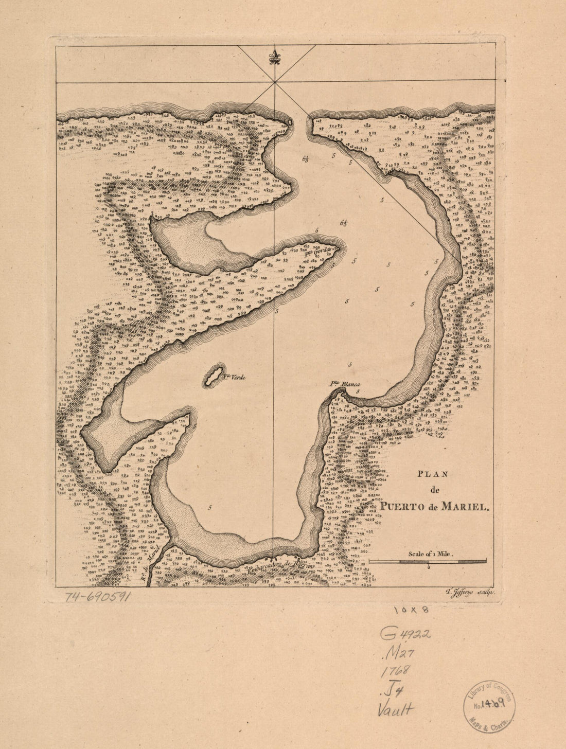 Plan De Puerto De Mariel in 1768
- Regular price
-
From
$26.95 - Regular price
-
$41.95 - Sale price
-
From
$26.95
-
Sonds, Sables Et Les Gissements Des Marques Les Plus Considérables Du Pays, Depuis Les Caps James Et May Jusqu'à Philadelphie, Suivant La Carte Originale in 1778
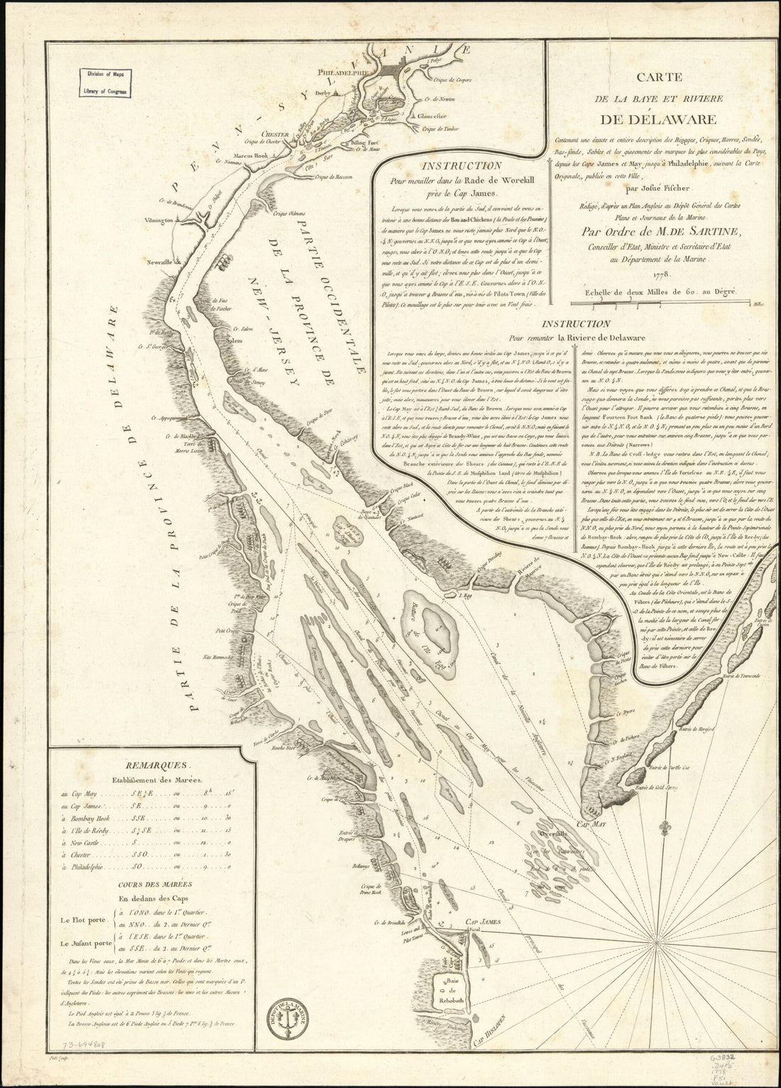 Sonds, Sables Et Les Gissements Des Marques Les Plus Considérables Du Pays, Depuis Les Caps James Et May Jusqu'à Philadelphie, Suivant La Carte Originale in 1778
- Regular price
-
From
$32.95 - Regular price
-
$51.99 - Sale price
-
From
$32.95
-
Part of Oxford and Cumberland Counties, Maine in 1771
 Part of Oxford and Cumberland Counties, Maine in 1771
- Regular price
-
From
$20.95 - Regular price
-
$32.95 - Sale price
-
From
$20.95
-
Route of Troops and Wagon Trains From Warrenton Jnct. to Kettle Run in 08-27
 Route of Troops and Wagon Trains From Warrenton Jnct. to Kettle Run in 08-27
- Regular price
-
From
$19.95 - Regular price
-
$29.95 - Sale price
-
From
$19.95
-
A Map of the Present Seat of War On the Northern Part of France, Including the Netherlands, Part of Germany &c in 1793
 A Map of the Present Seat of War On the Northern Part of France, Including the Netherlands, Part of Germany &c in 1793
- Regular price
-
From
$32.95 - Regular price
-
$51.99 - Sale price
-
From
$32.95
-
A Map of the New Governments of East & West Florida (Map of the New Governments of East and West Florida) 1763
 A Map of the New Governments of East & West Florida (Map of the New Governments of East and West Florida) 1763
- Regular price
-
From
$19.95 - Regular price
-
$29.95 - Sale price
-
From
$19.95
-
Map of New Kent, Charles City, James City and York Counties 1860
 Map of New Kent, Charles City, James City and York Counties 1860
- Regular price
-
From
$32.95 - Regular price
-
$51.99 - Sale price
-
From
$32.95


