Quick links
19716 products
-
Lloyd's Map of the Southern States, Showing All the Railroads, Their Stations & Distances : Also the Counties, Towns, Villages, Harbors, Rivers, and Forts in 1861
 Lloyd's Map of the Southern States, Showing All the Railroads, Their Stations & Distances : Also the Counties, Towns, Villages, Harbors, Rivers, and Forts in 1861
- Regular price
-
From
$32.95 - Regular price
-
$51.99 - Sale price
-
From
$32.95
-
Plan of the Navy Yard at Washington, D.C. : Showing the Position and Dimensions of All the Buildings As They Were June 1st 1881
 Plan of the Navy Yard at Washington, D.C. : Showing the Position and Dimensions of All the Buildings As They Were June 1st 1881
- Regular price
-
From
$32.95 - Regular price
-
$51.99 - Sale price
-
From
$32.95
-
Land In Hall and Elvan's Subdivision of Meridian Hill, District of Columbia, for Public Park in 1908
 Land In Hall and Elvan's Subdivision of Meridian Hill, District of Columbia, for Public Park in 1908
- Regular price
-
From
$34.95 - Regular price
-
$49.99 - Sale price
-
From
$34.95
-
A Plan of a Survey Made to Explore the Country for a Road Between Connecticut River & St. Francis in 1774
![This old map of A Plan of a Survey Made to Explore the Country for a Road Between Connecticut River & St. Francis from 1774 was created by Hugh] [Finlay in 1774](//relicmaps.com/cdn/shop/products/74694646.jpg?v=1702525721&width=1100) A Plan of a Survey Made to Explore the Country for a Road Between Connecticut River & St. Francis in 1774
A Plan of a Survey Made to Explore the Country for a Road Between Connecticut River & St. Francis in 1774- Regular price
-
From
$41.95 - Regular price
-
$64.95 - Sale price
-
From
$41.95
-
Plan of the Inland Navigation Between South Edisto and Charlestown 1780
 Plan of the Inland Navigation Between South Edisto and Charlestown 1780
- Regular price
-
From
$19.95 - Regular price
-
$29.95 - Sale price
-
From
$19.95
-
Map of N. Eastern Virginia and Vicinity of Washington 1862
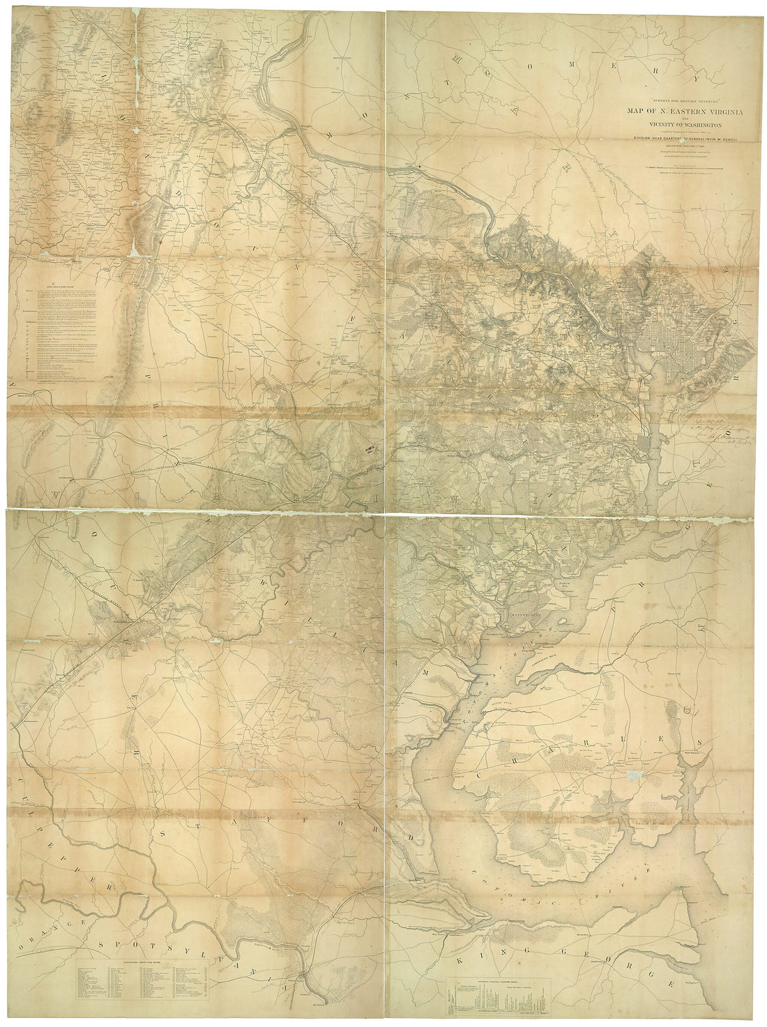 Map of N. Eastern Virginia and Vicinity of Washington 1862
- Regular price
-
From
$32.95 - Regular price
-
$51.99 - Sale price
-
From
$32.95
-
Map Showing Genl. Sherman's March From Chattanooga to Atlanta in 1864
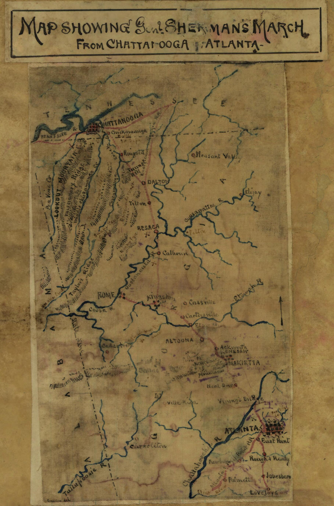 Map Showing Genl. Sherman's March From Chattanooga to Atlanta in 1864
- Regular price
-
From
$19.95 - Regular price
-
$29.95 - Sale price
-
From
$19.95
-
Fort On Dorc̃ester Point 1776
 Fort On Dorc̃ester Point 1776
- Regular price
-
From
$19.95 - Regular price
-
$29.95 - Sale price
-
From
$19.95
-
Magann's Bird's Eye View Map of Pettis County, Missouri : Showing Plats of the Railroad Towns and Sectional County Map, in 1872
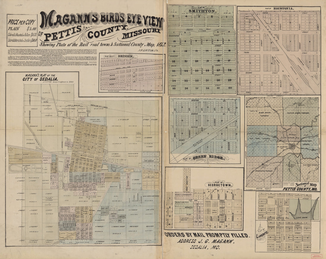 Magann's Bird's Eye View Map of Pettis County, Missouri : Showing Plats of the Railroad Towns and Sectional County Map, in 1872
- Regular price
-
From
$34.95 - Regular price
-
$49.99 - Sale price
-
From
$34.95
-
Map of Vernon County Missouri (Map of Vernon County, Missouri) 1886
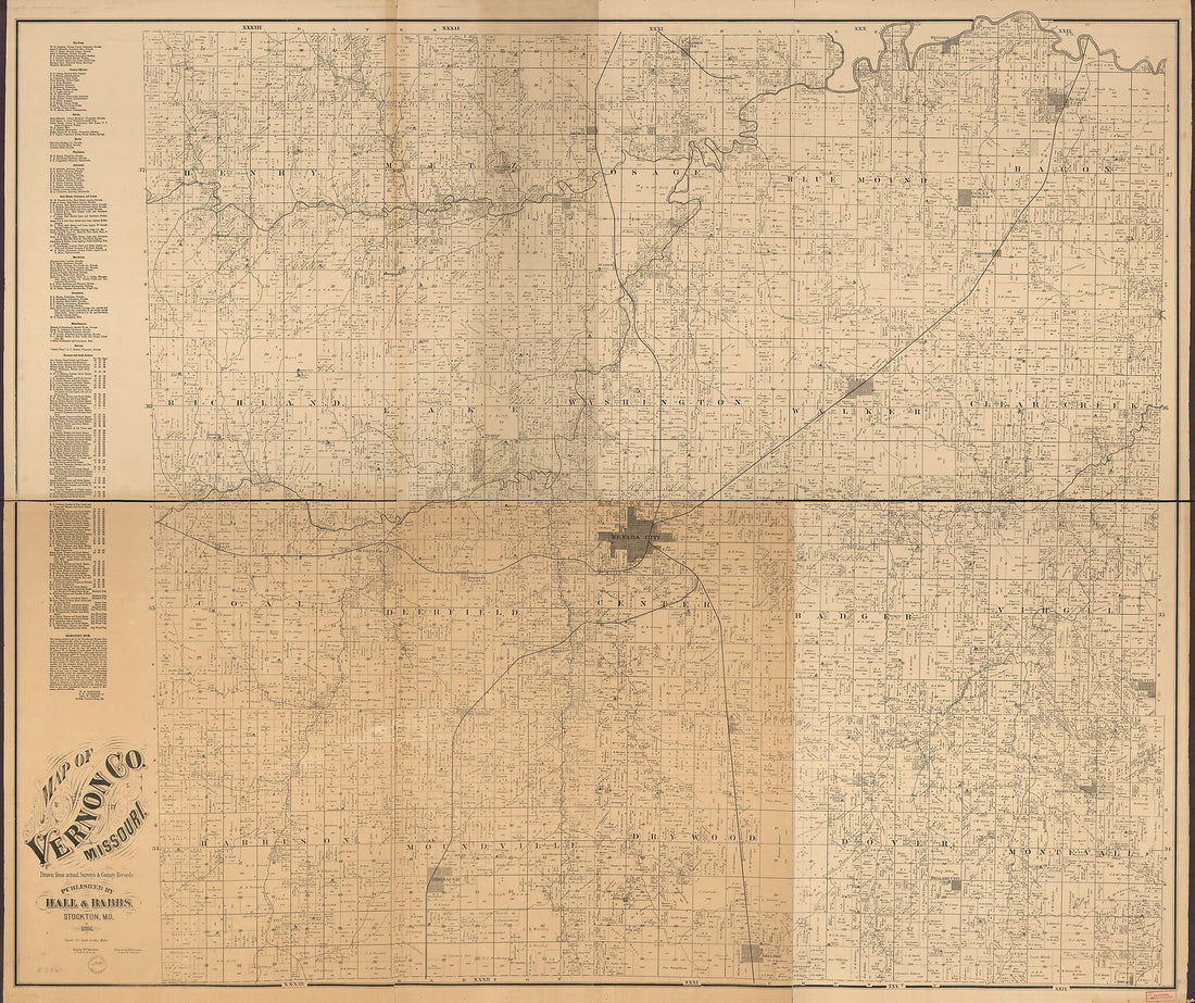 Map of Vernon County Missouri (Map of Vernon County, Missouri) 1886
- Regular price
-
From
$34.95 - Regular price
-
$49.99 - Sale price
-
From
$34.95
-
Map of Amherst & Nelson Cos. (Map of Amherst and Nelson Counties, Chief Engineer's Office D.N.V., Maj. Gen. J.F. Gilmer, Chief Engineer) 1864
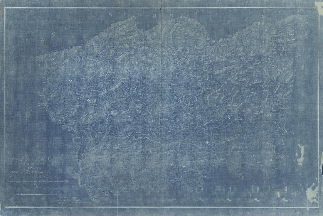 Map of Amherst & Nelson Cos. (Map of Amherst and Nelson Counties, Chief Engineer's Office D.N.V., Maj. Gen. J.F. Gilmer, Chief Engineer) 1864
- Regular price
-
From
$41.95 - Regular price
-
$66.99 - Sale price
-
From
$41.95
-
Partie Occidentale Du Canada Et Septentrionale De La Louisiane Avec Une Partie De La Pensilvanie 1775
 Partie Occidentale Du Canada Et Septentrionale De La Louisiane Avec Une Partie De La Pensilvanie 1775
- Regular price
-
From
$32.95 - Regular price
-
$51.99 - Sale price
-
From
$32.95


![This old map of A Plan of a Survey Made to Explore the Country for a Road Between Connecticut River & St. Francis from 1774 was created by Hugh] [Finlay in 1774](http://relicmaps.com/cdn/shop/products/74694646.jpg?v=1702525721&width=1100)


