Quick links
19716 products
-
Ortelius Improved, Or a New Map of Ireland : Wherin Are Inserted the Principal Families of Irish and English Extraction, Who Possess'd That Kingdonsic On the Commencement of the Seventeenth Century (New Map of Ireland) 1795
 Ortelius Improved, Or a New Map of Ireland : Wherin Are Inserted the Principal Families of Irish and English Extraction, Who Possess'd That Kingdonsic On the Commencement of the Seventeenth Century (New Map of Ireland) 1795
- Regular price
-
From
$34.95 - Regular price
-
$49.99 - Sale price
-
From
$34.95
-
Map of Nelson County, Virginia 1866
 Map of Nelson County, Virginia 1866
- Regular price
-
From
$34.95 - Regular price
-
$49.99 - Sale price
-
From
$34.95
-
Map of Fauquier County, Va. 1860
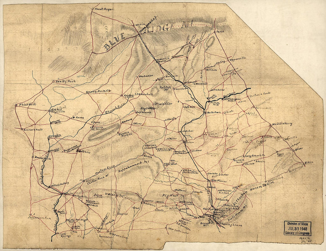 Map of Fauquier County, Va. 1860
- Regular price
-
From
$23.95 - Regular price
-
$36.95 - Sale price
-
From
$23.95
-
Map of the State of Maryland in 1841
 Map of the State of Maryland in 1841
- Regular price
-
From
$41.95 - Regular price
-
$66.99 - Sale price
-
From
$41.95
-
Bacon's New Army Map of the Seat of War In Virginia, Showing the Battle Fields, Fortifications, Etc., On & Near the Potomac River 1862
 Bacon's New Army Map of the Seat of War In Virginia, Showing the Battle Fields, Fortifications, Etc., On & Near the Potomac River 1862
- Regular price
-
From
$32.95 - Regular price
-
$51.99 - Sale price
-
From
$32.95
-
Map of the Battlefield of Chickamauga, September 19th and 20th 1863 1892
 Map of the Battlefield of Chickamauga, September 19th and 20th 1863 1892
- Regular price
-
From
$41.95 - Regular price
-
$66.99 - Sale price
-
From
$41.95
-
Distance Maps. Map of the Atlantic States, Showing 50 Mile Distances from Washington. Map of the Battleground at Manassas Showing 5 Mile Distances from Washington. Map of the Fortress Monroe, Showing 1 Mile Distances from the Fortress 1861
 Distance Maps. Map of the Atlantic States, Showing 50 Mile Distances from Washington. Map of the Battleground at Manassas Showing 5 Mile Distances from Washington. Map of the Fortress Monroe, Showing 1 Mile Distances from the Fortress 1861
- Regular price
-
From
$37.95 - Regular price
-
$58.95 - Sale price
-
From
$37.95
-
Carta Esférica Que Comprende Desde El Río Del Guanabo Hasta Boca Grande En La Parte Meridional De La Ysla De Cuba 1806
 Carta Esférica Que Comprende Desde El Río Del Guanabo Hasta Boca Grande En La Parte Meridional De La Ysla De Cuba 1806
- Regular price
-
From
$32.95 - Regular price
-
$51.99 - Sale price
-
From
$32.95
-
Plan of the City of Washington : the Capitol sic of the United States of America 1869
 Plan of the City of Washington : the Capitol sic of the United States of America 1869
- Regular price
-
From
$19.95 - Regular price
-
$29.95 - Sale price
-
From
$19.95
-
Map of Washington and Vicinity 1882
 Map of Washington and Vicinity 1882
- Regular price
-
From
$32.95 - Regular price
-
$51.99 - Sale price
-
From
$32.95
-
Plat of Proposed Carriage Road and Other Improvements South of the President's House : Agreeably to Plan of A.J. Downing for Improvement of Said Roads & Grounds 1854
 Plat of Proposed Carriage Road and Other Improvements South of the President's House : Agreeably to Plan of A.J. Downing for Improvement of Said Roads & Grounds 1854
- Regular price
-
From
$31.95 - Regular price
-
$49.95 - Sale price
-
From
$31.95
-
Military Map of the Vicinity of Frankfort, Kentucky 1863
 Military Map of the Vicinity of Frankfort, Kentucky 1863
- Regular price
-
From
$32.95 - Regular price
-
$51.99 - Sale price
-
From
$32.95


