Quick links
19716 products
-
A Plan of the City and Harbour of Havanna, Capital of the Island of Cuba 1762
 A Plan of the City and Harbour of Havanna, Capital of the Island of Cuba 1762
- Regular price
-
From
$19.95 - Regular price
-
$29.95 - Sale price
-
From
$19.95
-
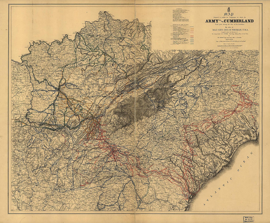
Northern Mississippi and Alabama 1865
 Northern Mississippi and Alabama 1865
- Regular price
-
From
$41.95 - Regular price
-
$66.99 - Sale price
-
From
$41.95
-
Plan of the Town and Harbor of Tripoli 1804
 Plan of the Town and Harbor of Tripoli 1804
- Regular price
-
From
$41.95 - Regular price
-
$66.99 - Sale price
-
From
$41.95
-
China (östl. Theil), Korea Und Japan Im Massstabe Von 1:7.500.000 (China (östlicheTheil), Korea Und Japan Im Massstab Von1:7.500.000) 1873
 China (östl. Theil), Korea Und Japan Im Massstabe Von 1:7.500.000 (China (östlicheTheil), Korea Und Japan Im Massstab Von1:7.500.000) 1873
- Regular price
-
From
$34.95 - Regular price
-
$49.99 - Sale price
-
From
$34.95
-
Preliminary Field Sketch of Part of the Antietam Battlefield, In the Area North of Sharpsburg 1895
 Preliminary Field Sketch of Part of the Antietam Battlefield, In the Area North of Sharpsburg 1895
- Regular price
-
From
$19.95 - Regular price
-
$29.95 - Sale price
-
From
$19.95
-
Map of the Town of Newtown, Queens County, New York 1896
 Map of the Town of Newtown, Queens County, New York 1896
- Regular price
-
From
$34.95 - Regular price
-
$49.99 - Sale price
-
From
$34.95
-
Township Map of Berks County, Pennsylvania, from Actual Surveys (Bridgens' Township Map of Berks County, Pennsylvania, Berks County) 1862
 Township Map of Berks County, Pennsylvania, from Actual Surveys (Bridgens' Township Map of Berks County, Pennsylvania, Berks County) 1862
- Regular price
-
From
$34.95 - Regular price
-
$49.99 - Sale price
-
From
$34.95
-
A Map of the British and French Settlements In North America 1755
 A Map of the British and French Settlements In North America 1755
- Regular price
-
From
$34.95 - Regular price
-
$49.99 - Sale price
-
From
$34.95
-
Martenet's Map of Kent County, Maryland ; Shore Lines and Soundings from U.S. Coast Survey, Roads and Inland from Actual Surveys by C.H. Baker, County Surveyor, Under the Direction, and Drawn, and Published by Simon J. Martenet 1860
 Martenet's Map of Kent County, Maryland ; Shore Lines and Soundings from U.S. Coast Survey, Roads and Inland from Actual Surveys by C.H. Baker, County Surveyor, Under the Direction, and Drawn, and Published by Simon J. Martenet 1860
- Regular price
-
From
$34.95 - Regular price
-
$49.99 - Sale price
-
From
$34.95
-
Touring Map of the Custer Battlefield Hiway: the Scenic Route to the West. (Touring Map of the Custer Battlefield Highway: the Scenic Route to the West) 1925
 Touring Map of the Custer Battlefield Hiway: the Scenic Route to the West. (Touring Map of the Custer Battlefield Highway: the Scenic Route to the West) 1925
- Regular price
-
From
$41.95 - Regular price
-
$66.99 - Sale price
-
From
$41.95
-
Map of the State of Virginia 1863
 Map of the State of Virginia 1863
- Regular price
-
From
$41.95 - Regular price
-
$66.99 - Sale price
-
From
$41.95
-
Southern States, United States 1865
 Southern States, United States 1865
- Regular price
-
From
$34.95 - Regular price
-
$49.99 - Sale price
-
From
$34.95


