Quick links
19716 products
-
Mappa Geographica Regionem Mexicanam Et Floridam : Terrasque Adjacentes, Ut Et Anteriores Americae Insulas Cursus Itedem Et Reditus Navigantium Versus Flumen Missisipi Et Alias Colonias Ob Oculas Ponens 1703
 Mappa Geographica Regionem Mexicanam Et Floridam : Terrasque Adjacentes, Ut Et Anteriores Americae Insulas Cursus Itedem Et Reditus Navigantium Versus Flumen Missisipi Et Alias Colonias Ob Oculas Ponens 1703
- Regular price
-
From
$34.95 - Regular price
-
$49.99 - Sale price
-
From
$34.95
-
Ken Yori Insan-ken Ni Itaru Rojō Sokuzu. (自陽徳縣至殷山縣路上測圖, Yōtoku Yori Insan Ni Itaru) 1883
 Ken Yori Insan-ken Ni Itaru Rojō Sokuzu. (自陽徳縣至殷山縣路上測圖, Yōtoku Yori Insan Ni Itaru) 1883
- Regular price
-
From
$39.95 - Regular price
-
$61.95 - Sale price
-
From
$39.95
-
City of Syracuse 1868
 City of Syracuse 1868
- Regular price
-
From
$34.95 - Regular price
-
$49.99 - Sale price
-
From
$34.95
-
Kentucky and Tennessee 1862
 Kentucky and Tennessee 1862
- Regular price
-
From
$32.95 - Regular price
-
$51.99 - Sale price
-
From
$32.95
-
Map of Part of Fulton, Fayette, and Campbell Counties, from Surveys, State Map, and Information 1864
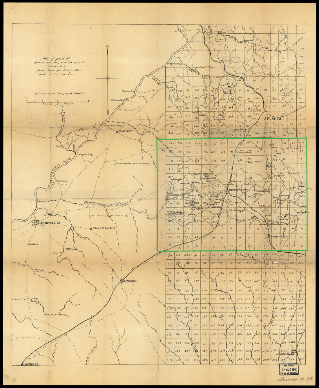 Map of Part of Fulton, Fayette, and Campbell Counties, from Surveys, State Map, and Information 1864
- Regular price
-
From
$34.95 - Regular price
-
$49.99 - Sale price
-
From
$34.95
-
Map of the Former Territorial Limits of the Cherokee Nation Of Indians ; Map Showing the Territory Originally Assigned Cherokee Nation Of Indians 1884
 Map of the Former Territorial Limits of the Cherokee Nation Of Indians ; Map Showing the Territory Originally Assigned Cherokee Nation Of Indians 1884
- Regular price
-
From
$41.95 - Regular price
-
$66.99 - Sale price
-
From
$41.95
-
This Map of North America 1712
 This Map of North America 1712
- Regular price
-
From
$41.95 - Regular price
-
$66.99 - Sale price
-
From
$41.95
-
Map Showing the Atchison, Topeka and Santa Fé Railroad System, With Its Connections 1883
 Map Showing the Atchison, Topeka and Santa Fé Railroad System, With Its Connections 1883
- Regular price
-
From
$41.95 - Regular price
-
$66.99 - Sale price
-
From
$41.95
-
Lewis and Clark Map, With Annotations In Brown Ink by Meriwether Lewis, Tracing Showing the Mississippi, the Missouri for a Short Distance Above Kansas, Lakes Michigan, Superior, and Winnipeg, and the Country Onwards to the Pacific 1803
 Lewis and Clark Map, With Annotations In Brown Ink by Meriwether Lewis, Tracing Showing the Mississippi, the Missouri for a Short Distance Above Kansas, Lakes Michigan, Superior, and Winnipeg, and the Country Onwards to the Pacific 1803
- Regular price
-
From
$41.95 - Regular price
-
$66.99 - Sale price
-
From
$41.95
-
Plano Geométrico Del Puerto Principal De San Tomas En La Costa Meridional De La Ya. Del Mismo Nombre ; Plano Geométrico Del Puerto De Normand En La Costa N.O. De La Ya. Del Mismo Nombre 1793
 Plano Geométrico Del Puerto Principal De San Tomas En La Costa Meridional De La Ya. Del Mismo Nombre ; Plano Geométrico Del Puerto De Normand En La Costa N.O. De La Ya. Del Mismo Nombre 1793
- Regular price
-
From
$41.95 - Regular price
-
$66.99 - Sale price
-
From
$41.95
-
Nuevo Plano De Puerto Rico 1785
 Nuevo Plano De Puerto Rico 1785
- Regular price
-
From
$34.95 - Regular price
-
$49.99 - Sale price
-
From
$34.95
-
A Chart of New York Island & North River: East River, Passage Through Hell Gate, Flushing Bay, Hampstead Bay, Oyster, Huntington Bay, Cow Harbour, East Chester Inlet, Rochell, Rye, Patrick Islands, Ec 1770
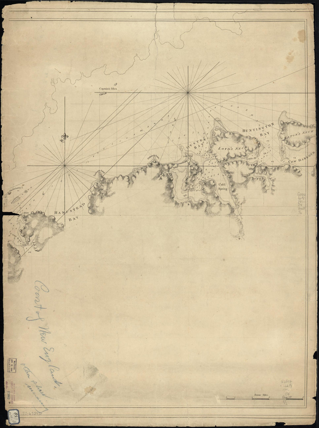 A Chart of New York Island & North River: East River, Passage Through Hell Gate, Flushing Bay, Hampstead Bay, Oyster, Huntington Bay, Cow Harbour, East Chester Inlet, Rochell, Rye, Patrick Islands, Ec 1770
- Regular price
-
From
$32.95 - Regular price
-
$51.99 - Sale price
-
From
$32.95


