Quick links
19716 products
-
Map Showing Location of Lands Belonging to the Iowa Rail Road Land Company Iowa Falls, and Sioux City R.R. Land Company Sioux City, and Pacific Land Company & Elkhorn Land Company, J. T. McAlvin, Del. I.R.R. Land Department, Cedar Rapids, Iowa, 1871
 Map Showing Location of Lands Belonging to the Iowa Rail Road Land Company Iowa Falls, and Sioux City R.R. Land Company Sioux City, and Pacific Land Company & Elkhorn Land Company, J. T. McAlvin, Del. I.R.R. Land Department, Cedar Rapids, Iowa, 1871
- Regular price
-
From
$41.95 - Regular price
-
$66.99 - Sale price
-
From
$41.95
-
Plano De La Ciudad De Mayagüez Y Sus Contornos 1888
 Plano De La Ciudad De Mayagüez Y Sus Contornos 1888
- Regular price
-
From
$34.95 - Regular price
-
$49.99 - Sale price
-
From
$34.95
-
Plano De La Bahía De Lángara Situado En La Costa Septemtrional Del Estrecho De Magallanes Por Latd. S. De 53⁰23ʹ Y Longd. 66⁰53ʹ Occl. Del Obserbatorio De Cádiz 1786
 Plano De La Bahía De Lángara Situado En La Costa Septemtrional Del Estrecho De Magallanes Por Latd. S. De 53⁰23ʹ Y Longd. 66⁰53ʹ Occl. Del Obserbatorio De Cádiz 1786
- Regular price
-
From
$19.95 - Regular price
-
$29.95 - Sale price
-
From
$19.95
-
Map of Trinidad, Washington, D.C. : 1888
 Map of Trinidad, Washington, D.C. : 1888
- Regular price
-
From
$34.95 - Regular price
-
$49.99 - Sale price
-
From
$34.95
-
Todd & Brown's Subdivision of Part of Pleasant Plains and Mt. Pleasant, Washington County, D.C 1887
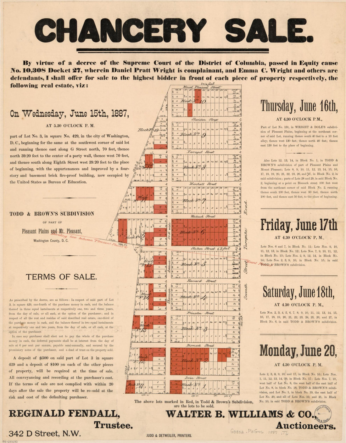 Todd & Brown's Subdivision of Part of Pleasant Plains and Mt. Pleasant, Washington County, D.C 1887
- Regular price
-
From
$34.95 - Regular price
-
$49.99 - Sale price
-
From
$34.95
-
A Map of the Most Inhabited Part of Virginia Containing the Whole Province of Maryland With Part of Pensilvania, New Jersey and North Carolina 1775
 A Map of the Most Inhabited Part of Virginia Containing the Whole Province of Maryland With Part of Pensilvania, New Jersey and North Carolina 1775
- Regular price
-
From
$41.95 - Regular price
-
$66.99 - Sale price
-
From
$41.95
-
Bahia De Tampa 1809
 Bahia De Tampa 1809
- Regular price
-
From
$19.95 - Regular price
-
$29.95 - Sale price
-
From
$19.95
-
Und Eisenbahn-Karte Von Deutschland, Den Niederlanden, Belgien Und Der Schweiz 1855
 Und Eisenbahn-Karte Von Deutschland, Den Niederlanden, Belgien Und Der Schweiz 1855
- Regular price
-
From
$34.95 - Regular price
-
$49.99 - Sale price
-
From
$34.95
-
Map of McCook County, South Dakota : Compiled and Drawn from a Special Survey and Official Records 1900
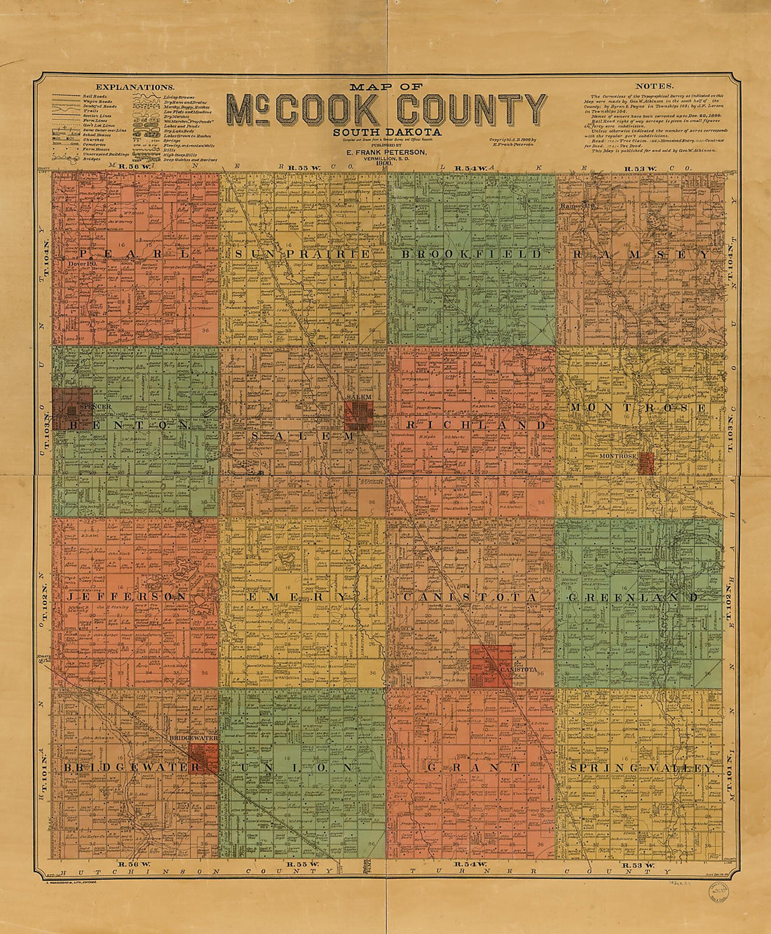 Map of McCook County, South Dakota : Compiled and Drawn from a Special Survey and Official Records 1900
- Regular price
-
From
$34.95 - Regular price
-
$49.99 - Sale price
-
From
$34.95
-
Map of Marion and Washington Counties, Ky : from Actual Surveys and Official Records (Map of Marion and Washington Counties, Kentucky) 1877
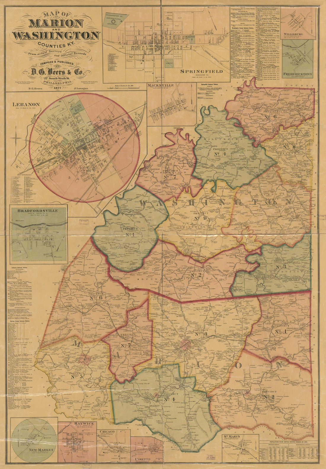 Map of Marion and Washington Counties, Ky : from Actual Surveys and Official Records (Map of Marion and Washington Counties, Kentucky) 1877
- Regular price
-
From
$41.95 - Regular price
-
$66.99 - Sale price
-
From
$41.95
-
A New Map of Virginia With Maryland, Delaware & V 1814
 A New Map of Virginia With Maryland, Delaware & V 1814
- Regular price
-
From
$32.95 - Regular price
-
$51.99 - Sale price
-
From
$32.95
-
Oldham County, State of Texas 1888
 Oldham County, State of Texas 1888
- Regular price
-
From
$34.95 - Regular price
-
$49.99 - Sale price
-
From
$34.95


