Quick links
19716 products
-
Second Battle of Bull Run. Position of Troops at Sunset, Aug. 29, 1862 1886
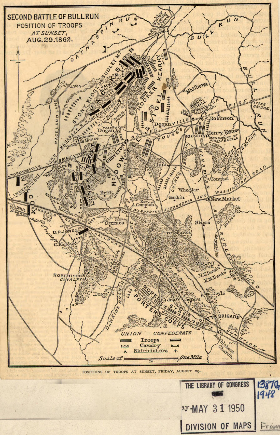 Second Battle of Bull Run. Position of Troops at Sunset, Aug. 29, 1862 1886
- Regular price
-
From
$19.95 - Regular price
-
$29.95 - Sale price
-
From
$19.95
-
Roads of the State of New York Prepared Under the Direction of Van Renssselaer Richmond, State Engineer and Surveyor; Geo R. Perkins, Dep State Engineer & Surveyor 1861
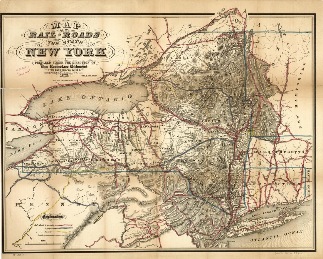 Roads of the State of New York Prepared Under the Direction of Van Renssselaer Richmond, State Engineer and Surveyor; Geo R. Perkins, Dep State Engineer & Surveyor 1861
- Regular price
-
From
$34.95 - Regular price
-
$49.99 - Sale price
-
From
$34.95
-
Railroad Map of the Central Part of California, and Part of Nevada. 1865
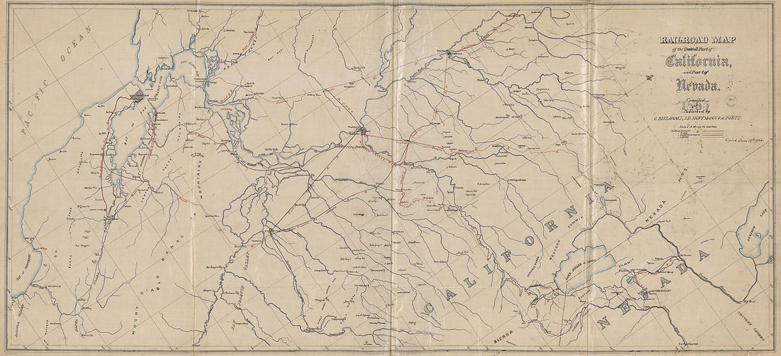 Railroad Map of the Central Part of California, and Part of Nevada. 1865
- Regular price
-
From
$41.95 - Regular price
-
$66.99 - Sale price
-
From
$41.95
-
Trade Map of the North Western States Showing the Counties, Towns and Rail Roads, Etc 1870
 Trade Map of the North Western States Showing the Counties, Towns and Rail Roads, Etc 1870
- Regular price
-
From
$32.95 - Regular price
-
$51.99 - Sale price
-
From
$32.95
-
Cape of Good Hope 1842
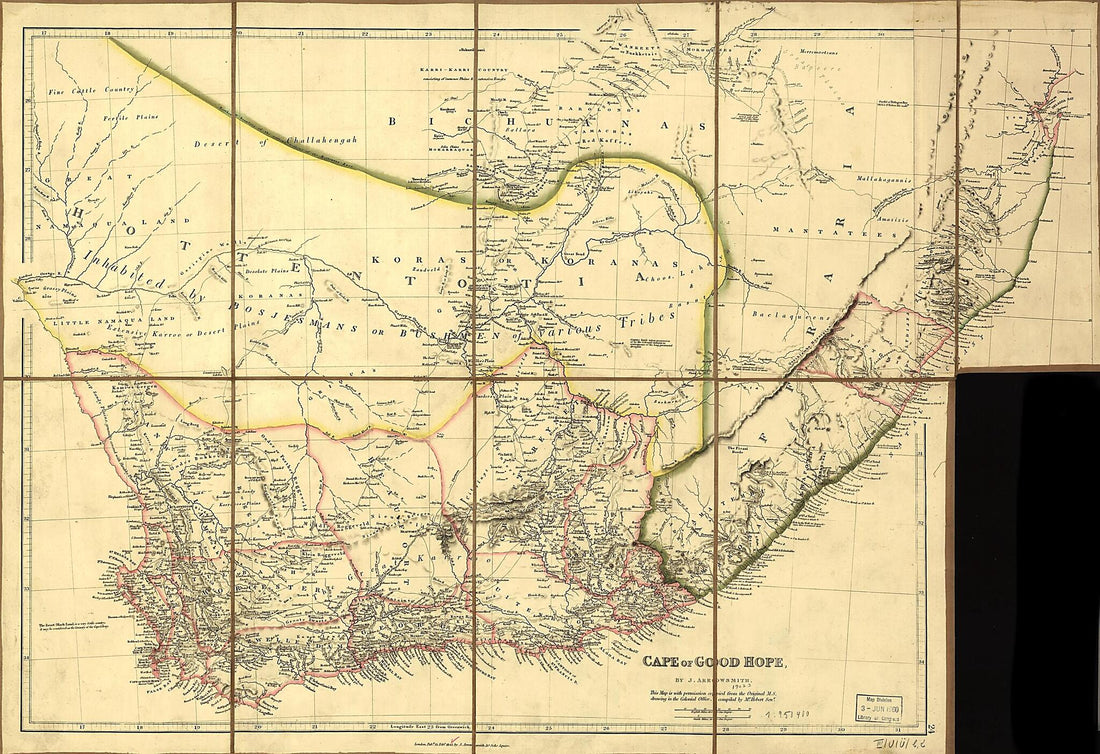 Cape of Good Hope 1842
- Regular price
-
From
$41.95 - Regular price
-
$66.99 - Sale price
-
From
$41.95
-
Suwannee River Land Belt : Offered by the Land Department of the Live Oak, Perry & Gulf Railroad Company, Live Oak, Florida 1910
 Suwannee River Land Belt : Offered by the Land Department of the Live Oak, Perry & Gulf Railroad Company, Live Oak, Florida 1910
- Regular price
-
From
$41.95 - Regular price
-
$66.99 - Sale price
-
From
$41.95
-
Map of the Railroads and Canals, Finished, Unfinished, and In Contemplation, In the United States (Rail Road Map) 1834
 Map of the Railroads and Canals, Finished, Unfinished, and In Contemplation, In the United States (Rail Road Map) 1834
- Regular price
-
From
$41.95 - Regular price
-
$66.99 - Sale price
-
From
$41.95
-
Map of Doddridge and Harrison Counties Showing Agricultural Soils 1912
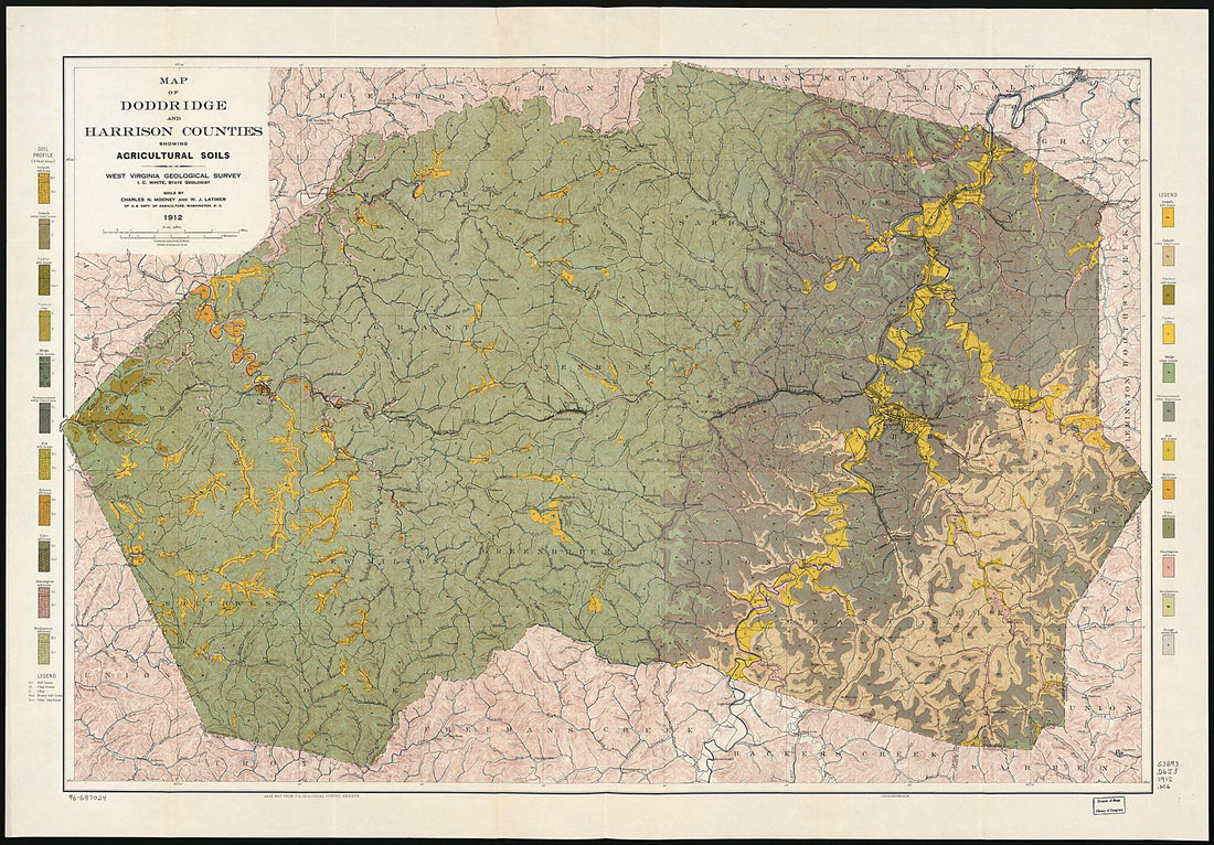 Map of Doddridge and Harrison Counties Showing Agricultural Soils 1912
- Regular price
-
From
$41.95 - Regular price
-
$66.99 - Sale price
-
From
$41.95
-
Geological Map of the Novaculite Region of Arkansas : Hot Springs Sheet 1890
 Geological Map of the Novaculite Region of Arkansas : Hot Springs Sheet 1890
- Regular price
-
From
$32.95 - Regular price
-
$51.99 - Sale price
-
From
$32.95
-
Carta Esférica De Las Yslas Virgenes 1793
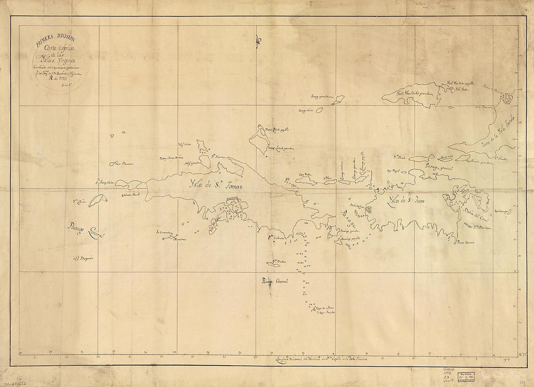 Carta Esférica De Las Yslas Virgenes 1793
- Regular price
-
From
$32.95 - Regular price
-
$51.99 - Sale price
-
From
$32.95
-
Plan of That Part of the City of Washington Bounded On the North by K Street North, the South by Tiber Creek, the East by 15th Street West, & On the West by 17th Street West : Exhibiting the President's Square & Its Vicinity 1798
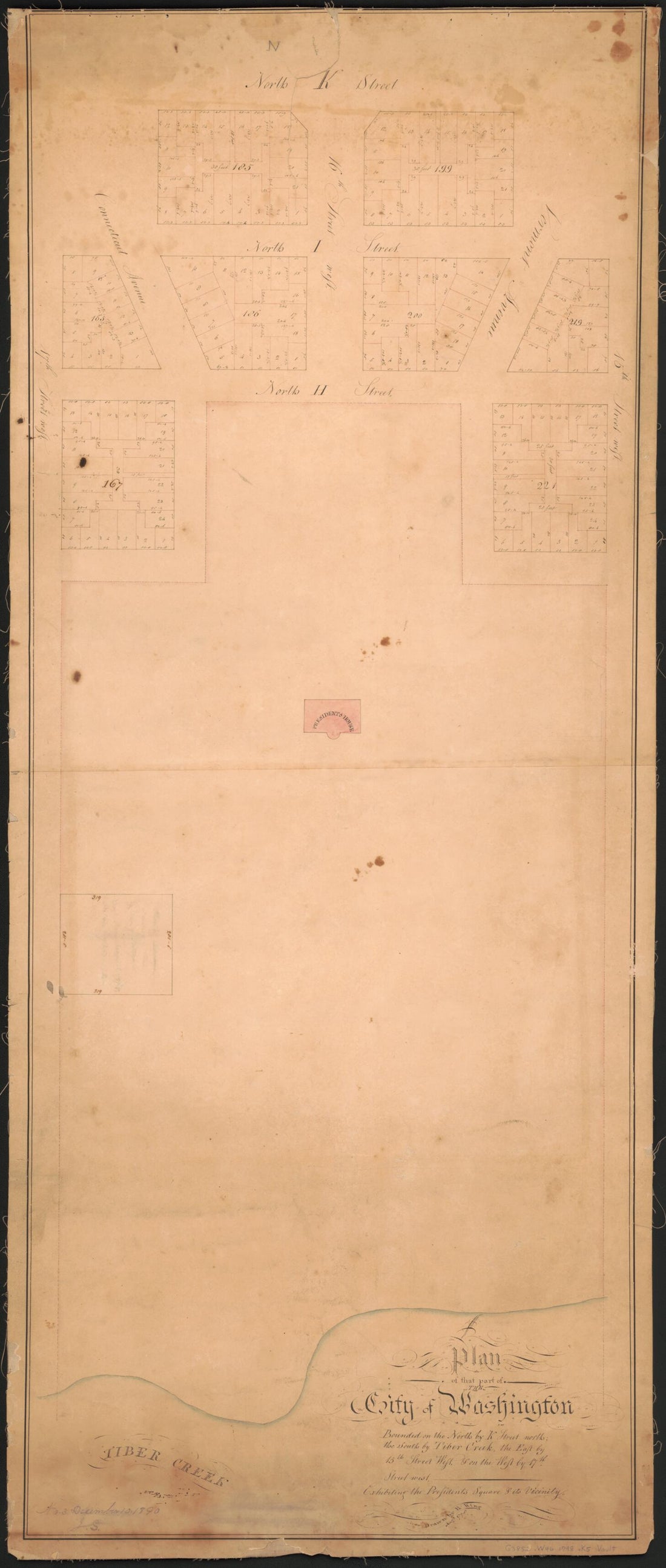 Plan of That Part of the City of Washington Bounded On the North by K Street North, the South by Tiber Creek, the East by 15th Street West, & On the West by 17th Street West : Exhibiting the President's Square & Its Vicinity 1798
- Regular price
-
From
$41.95 - Regular price
-
$66.99 - Sale price
-
From
$41.95
-
The City of Washington and Environs : 1908
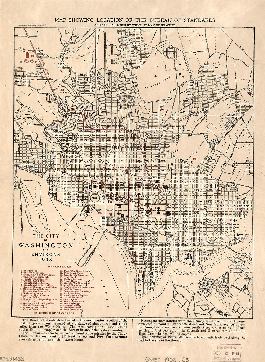 The City of Washington and Environs : 1908
- Regular price
-
From
$19.95 - Regular price
-
$29.95 - Sale price
-
From
$19.95


