906 products
-
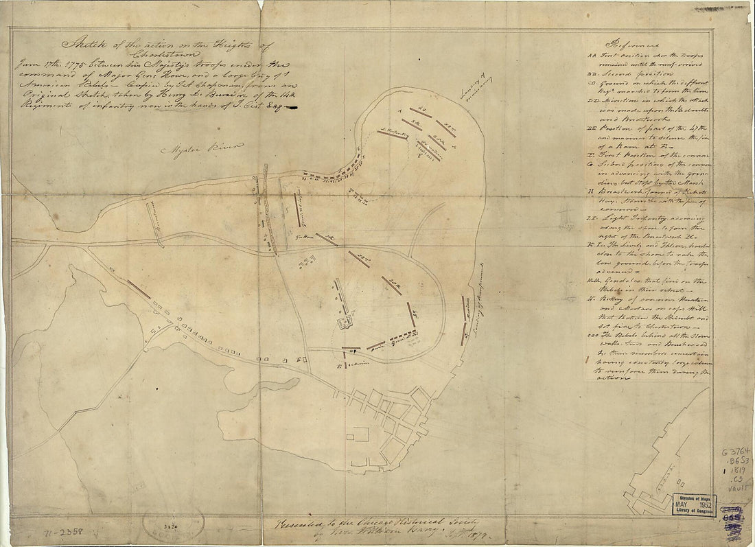 Sketch of the Action On the Heights of Charlestown June 17th, 1775 Between His Majesty's Troops Under the Command of Major Genl. Howe, and a Large Body of American Rebels 1819Sketch of the Action On the Heights of Charlestown June 17th, 1775 Between His Majesty's Troops Under the Command of Major Genl. Howe, and a Large Body of American Rebels 1819
- Regular price
-
$39.95 $88.95 - Regular price
-
$32.95 - Sale price
-
$39.95 $88.95
-
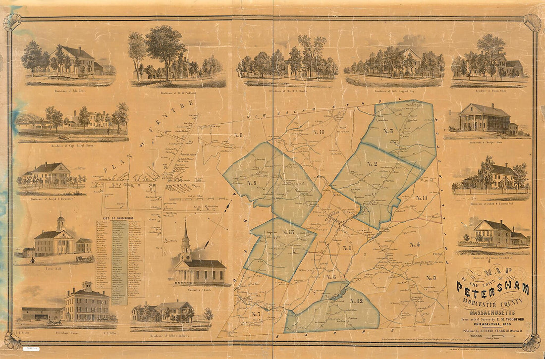 Map of the Town of Petersham, Worcester County, Massachusetts 1855Map of the Town of Petersham, Worcester County, Massachusetts 1855
- Regular price
-
$46.95 $160.95 - Regular price
-
$41.95 - Sale price
-
$46.95 $160.95
-
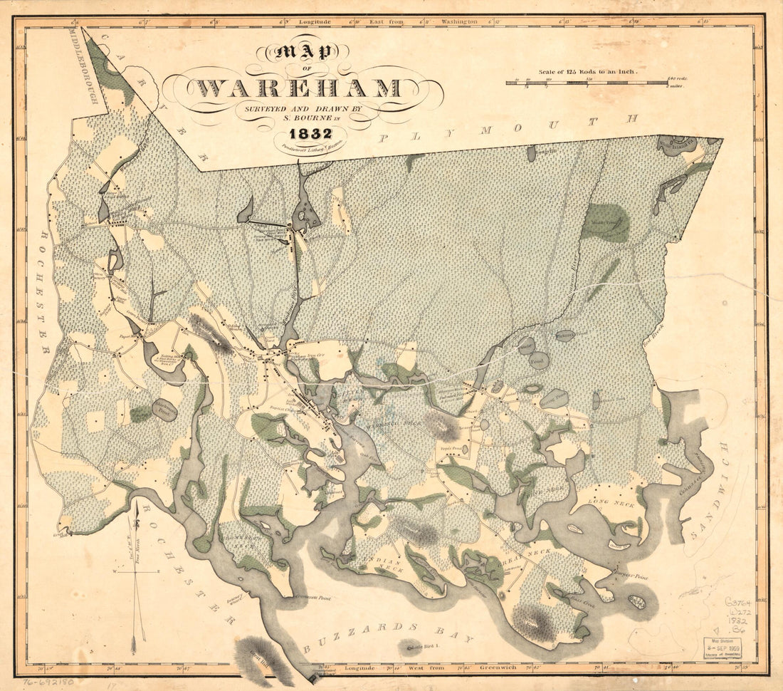 Map of Wareham 1832Map of Wareham 1832
- Regular price
-
$39.95 $83.95 - Regular price
-
$34.95 - Sale price
-
$39.95 $83.95
-
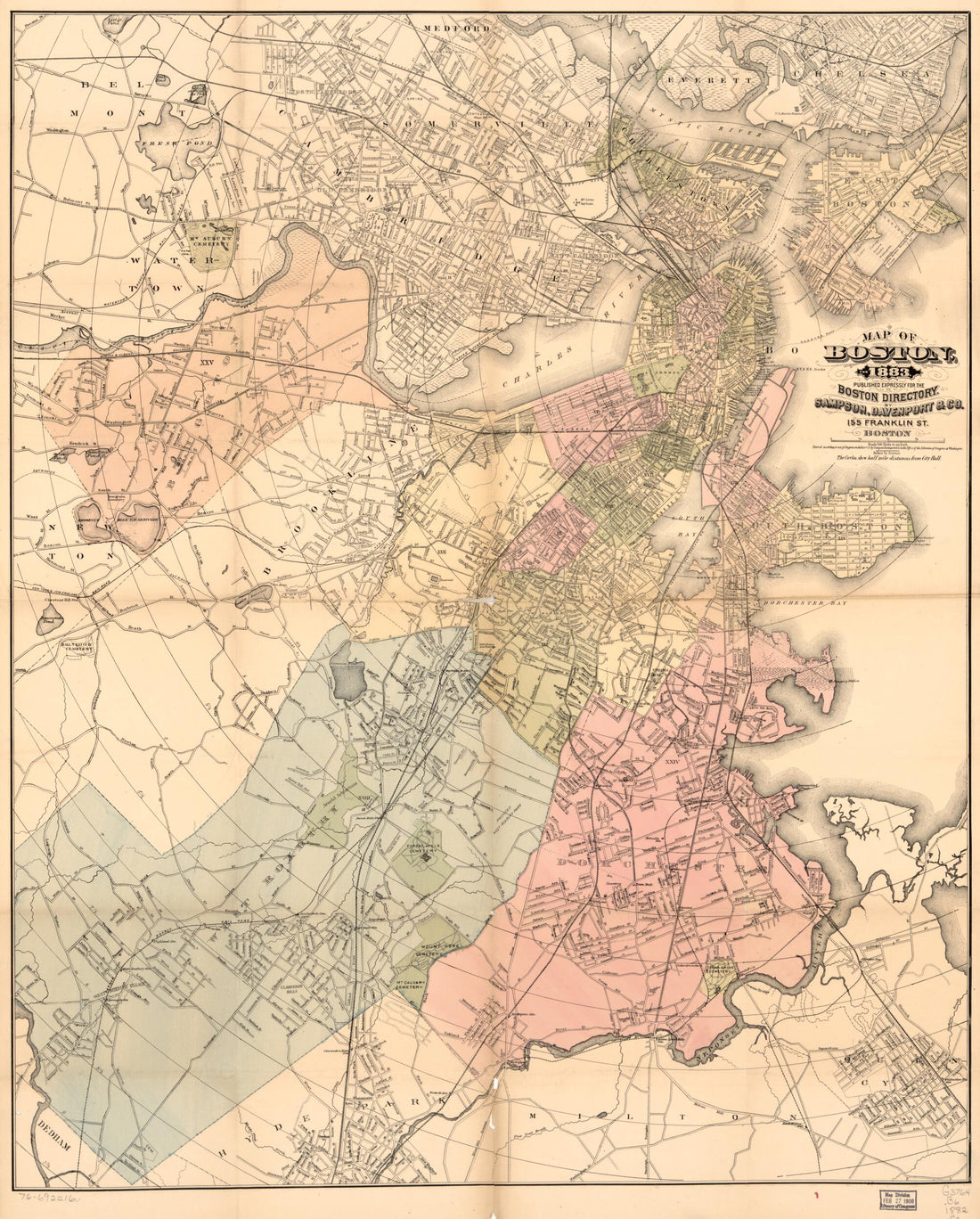 Map of Boston for 1883Map of Boston for 1883
- Regular price
-
$39.95 $97.95 - Regular price
-
$34.95 - Sale price
-
$39.95 $97.95
-
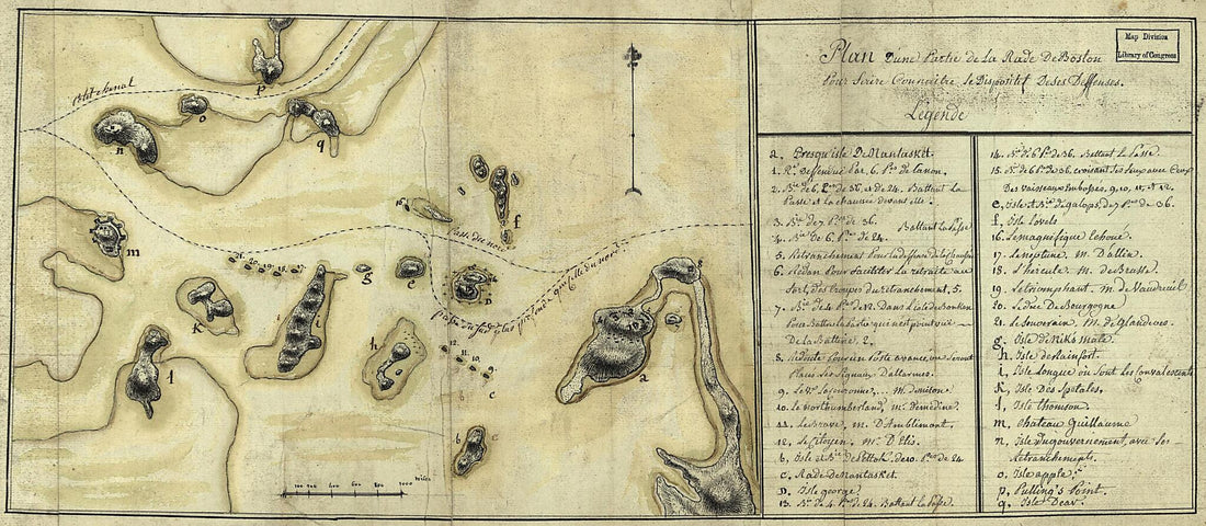 Plan D'une Partie De La Rade De Boston Pour Faire Connaitre Le Dispositif De Ses Deffenses 1778Plan D'une Partie De La Rade De Boston Pour Faire Connaitre Le Dispositif De Ses Deffenses 1778
- Regular price
-
$39.95 $99.95 - Regular price
-
$29.95 - Sale price
-
$39.95 $99.95
-
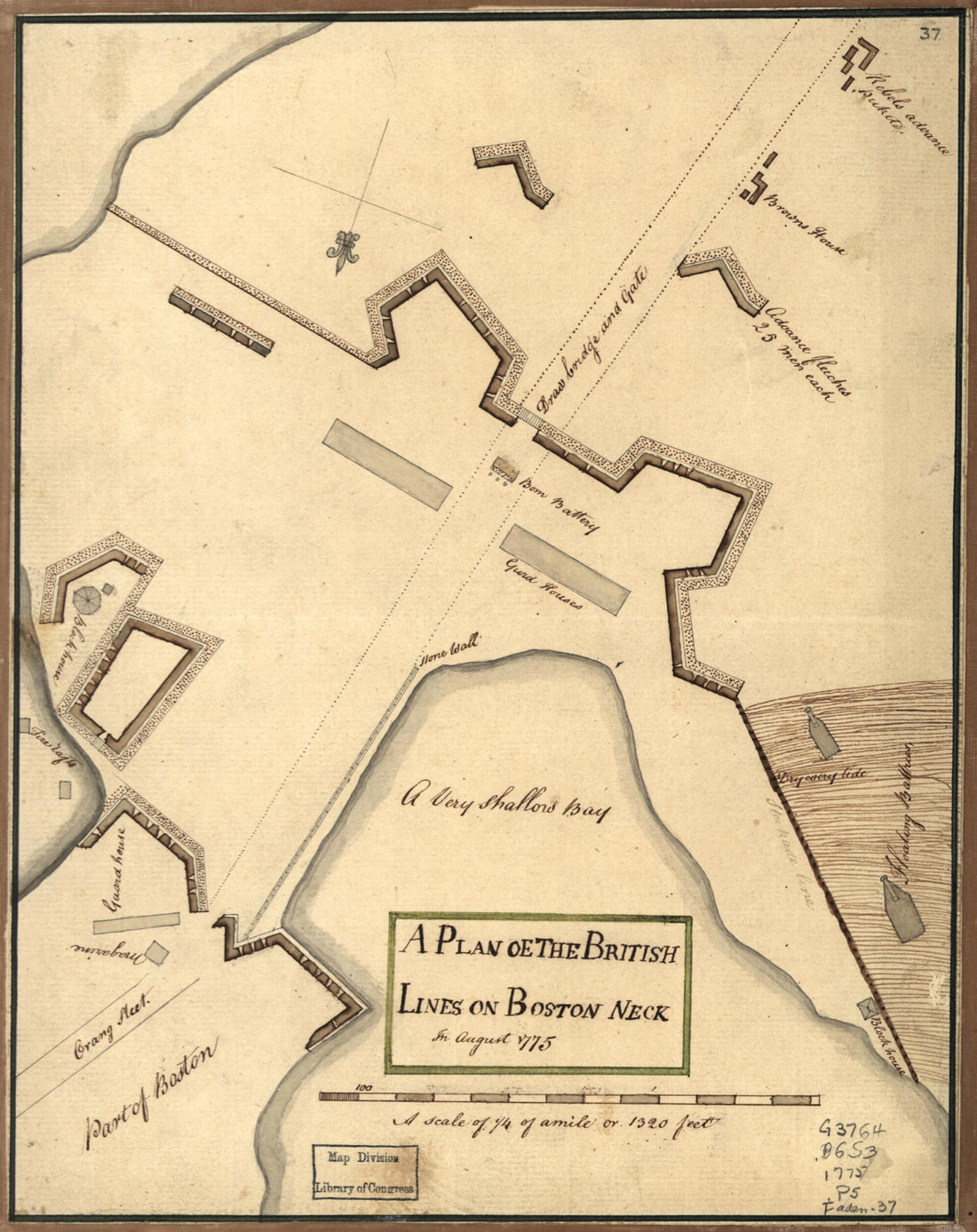 A Plan Oe i.e. Of the British Lines On Boston Neck In August 1775A Plan Oe i.e. Of the British Lines On Boston Neck In August 1775
- Regular price
-
$39.95 $83.95 - Regular price
-
$29.95 - Sale price
-
$39.95 $83.95
-
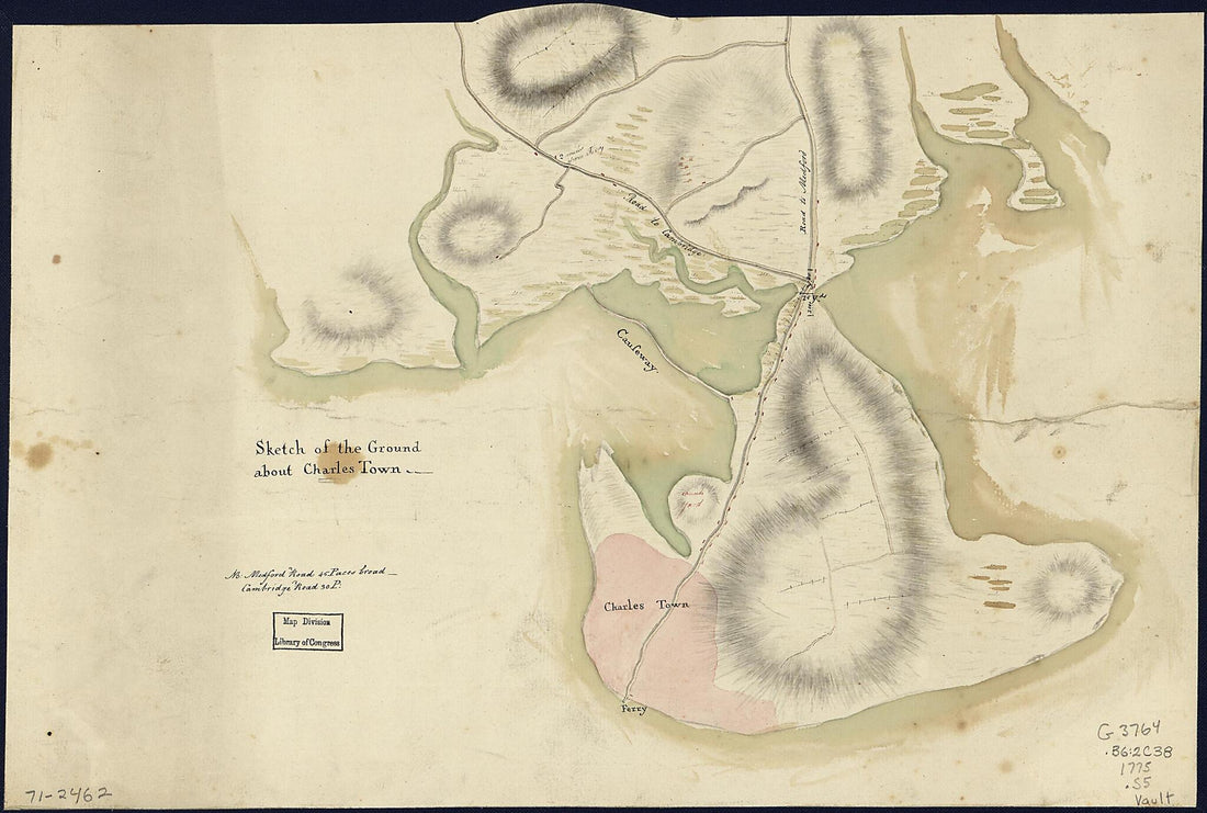 Sketch of the Ground About Charles Town 1775Sketch of the Ground About Charles Town 1775
- Regular price
-
$39.95 $99.95 - Regular price
-
$29.95 - Sale price
-
$39.95 $99.95
-
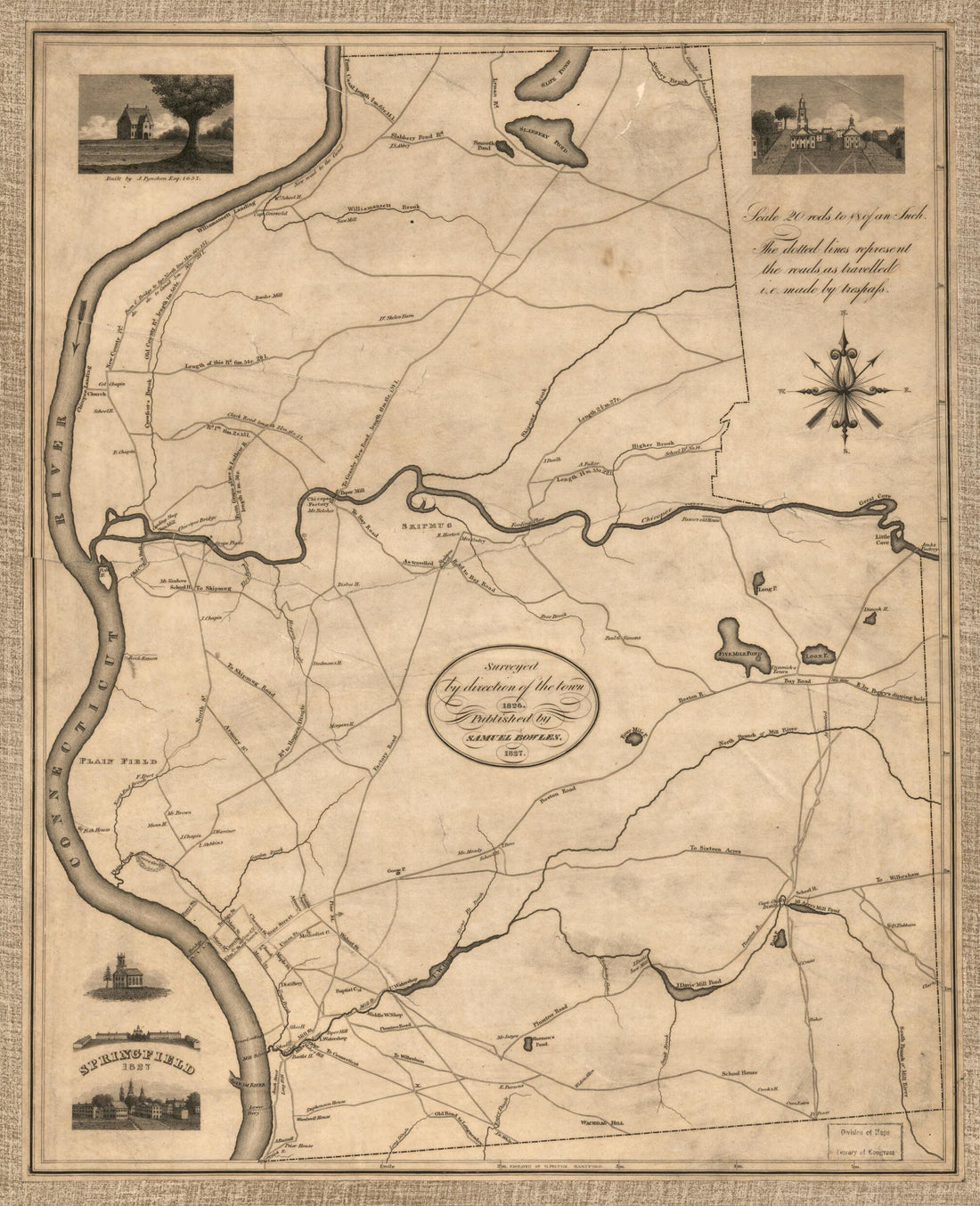 Springfield, 1827 : Surveyed by Direction of the Town, 1826Springfield, 1827 : Surveyed by Direction of the Town, 1826
- Regular price
-
$39.95 $83.95 - Regular price
-
$34.95 - Sale price
-
$39.95 $83.95
-
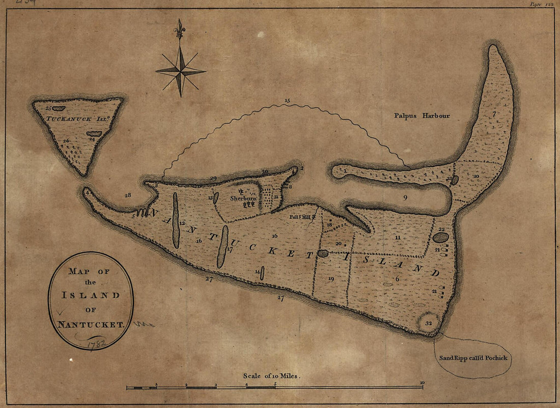 Map of the Island of Nantucket 1782Map of the Island of Nantucket 1782
- Regular price
-
$39.95 $88.95 - Regular price
-
$29.95 - Sale price
-
$39.95 $88.95
-
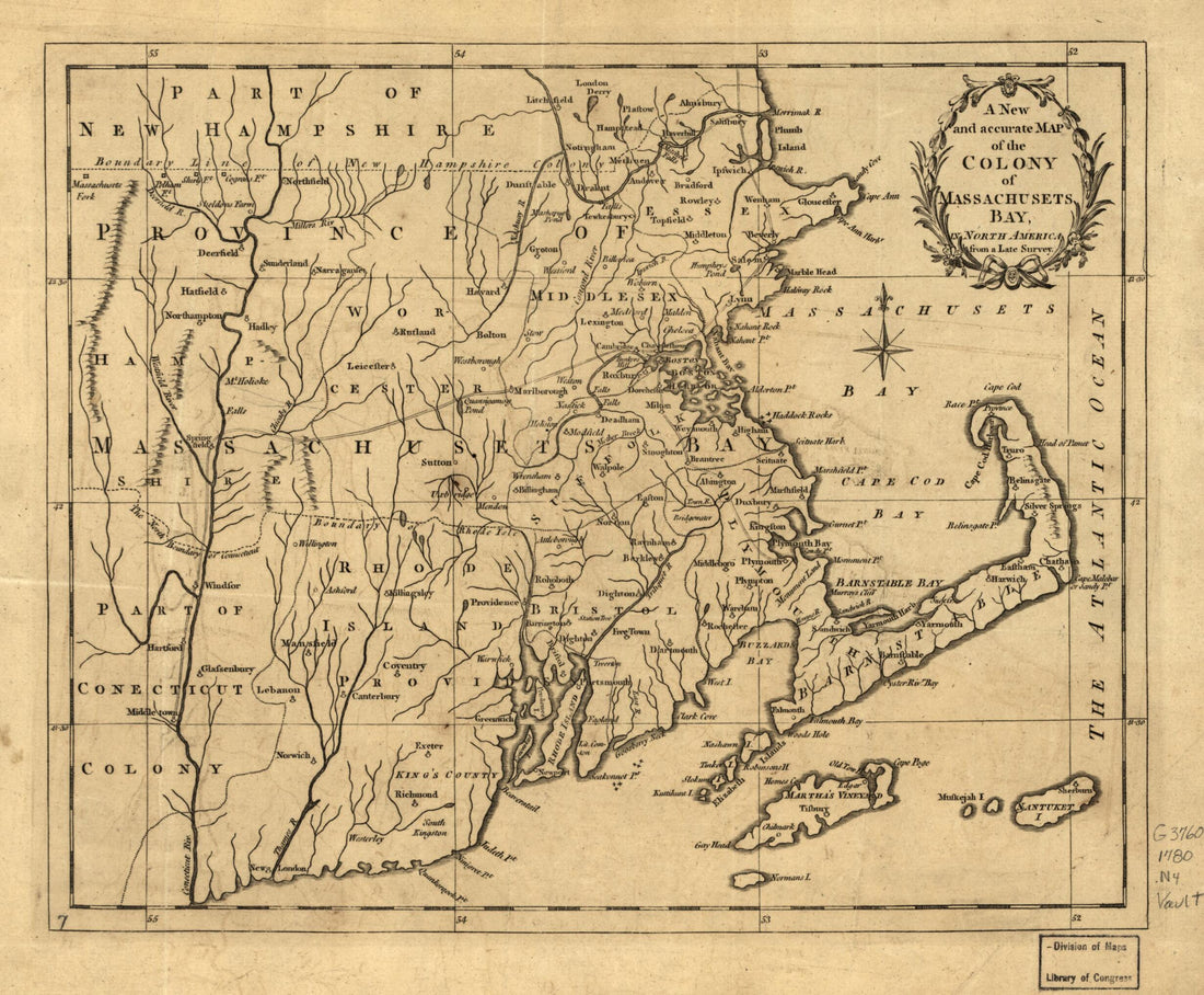 A New and Accurate Map of the Colony of Massachusets i.e. Massachusetts Bay, In North America, from a Late Survey. (New and Accurate Map of the Colony of Massachusets Bay, New and Accurate Map of the Colony of Massachusetts Bay) 1780A New and Accurate Map of the Colony of Massachusets i.e. Massachusetts Bay, In North America, from a Late Survey. (New and Accurate Map of the Colony of Massachusets Bay, New and Accurate Map of the Colony of Massachusetts Bay) 1780
- Regular price
-
$39.95 $83.95 - Regular price
-
$29.95 - Sale price
-
$39.95 $83.95
-
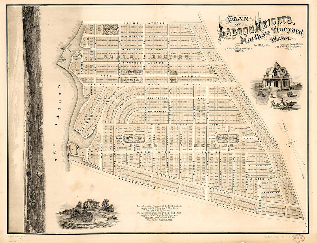 Plan of Lagoon Heights, Martha's Vineyard, Massachusetts 1873Plan of Lagoon Heights, Martha's Vineyard, Massachusetts 1873
- Regular price
-
$43.95 $286.95 - Regular price
-
$32.95 - Sale price
-
$43.95 $286.95
-
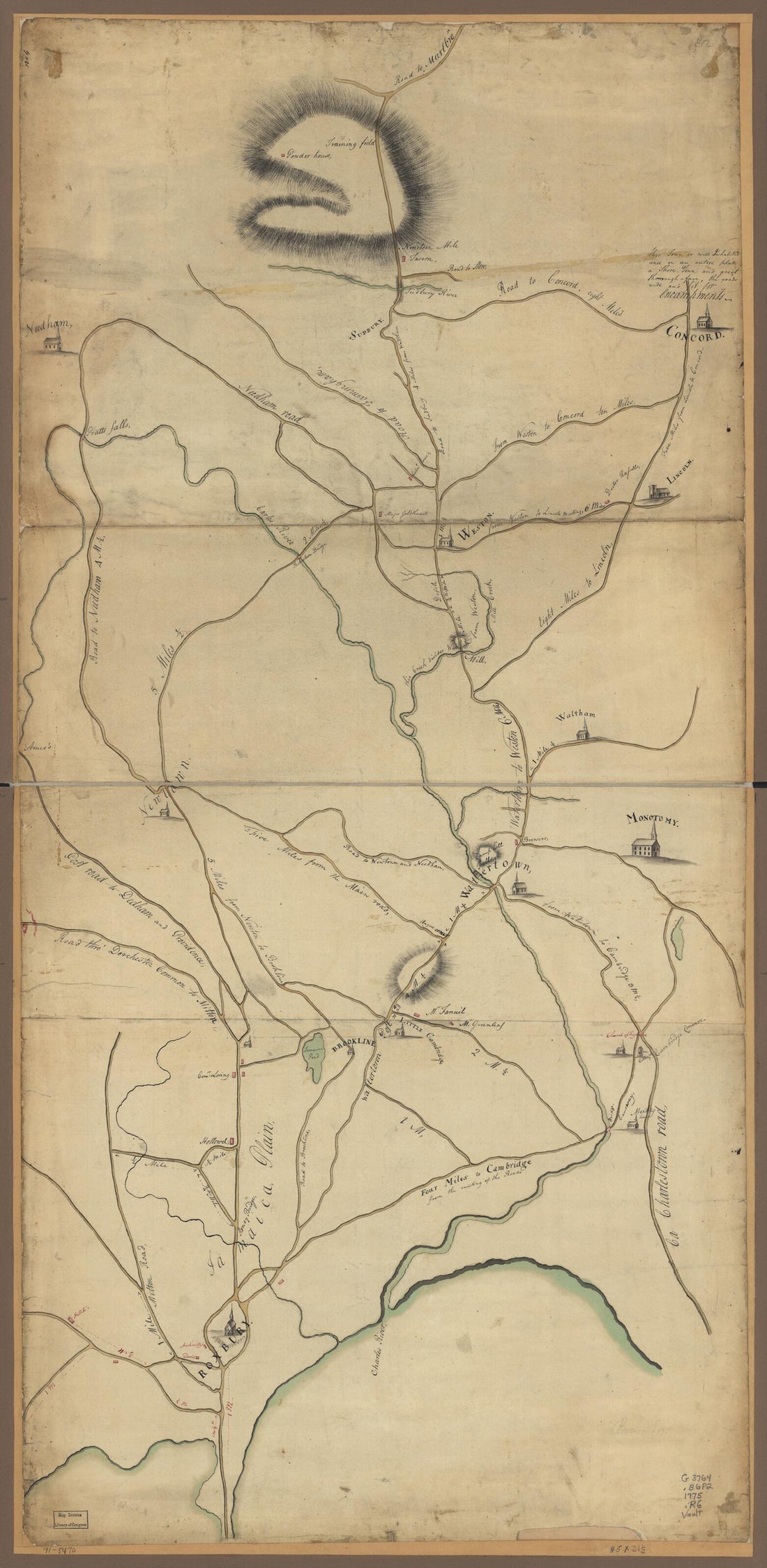 Roxbury to Concord. Roads & Distances, &c 1775Roxbury to Concord. Roads & Distances, &c 1775
- Regular price
-
$46.95 $109.95 - Regular price
-
$41.95 - Sale price
-
$46.95 $109.95


