

895 products
-
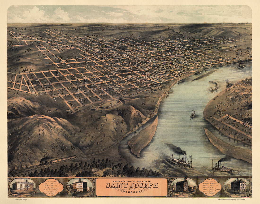 Bird's Eye View of the City of Saint Joseph, Missouri 1868Bird's Eye View of the City of Saint Joseph, Missouri 1868
- Regular price
-
$49.95 $159.95 - Regular price
-
$34.95 - Sale price
-
$49.95 $159.95
-
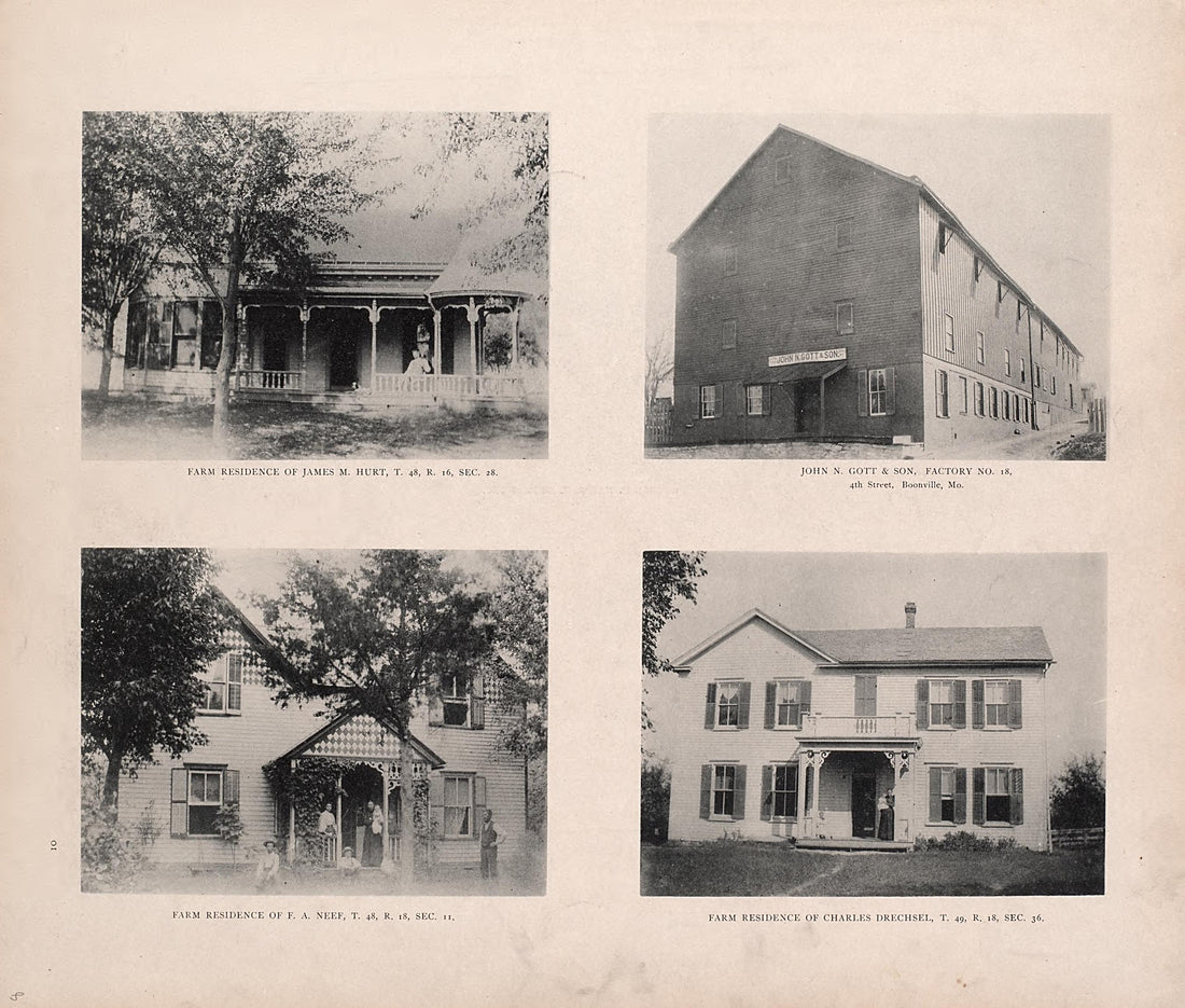 Residences and Factory from Illustrated Historical Atlas of Cooper County, Missouri : Compiled and Published from Official Records and Personal Examination 1897Residences and Factory from Illustrated Historical Atlas of Cooper County, Missouri : Compiled and Published from Official Records and Personal Examination 1897
- Regular price
-
$49.95 $83.95 - Regular price
-
$10.95 - Sale price
-
$49.95 $83.95
-
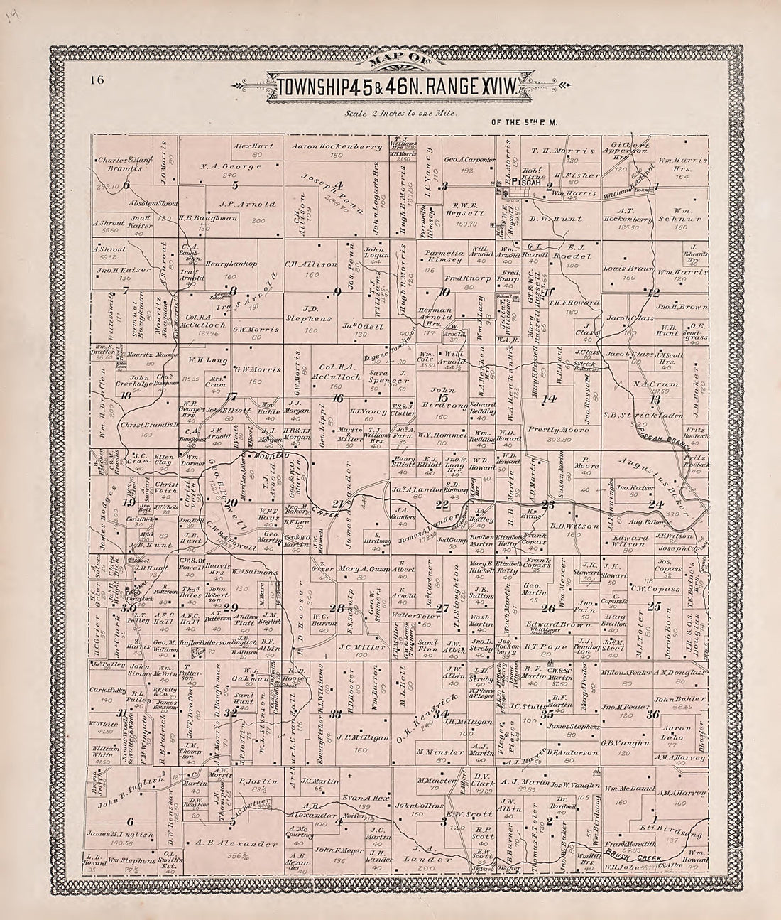 Township 45 & 46N. Range XVIW. from Illustrated Historical Atlas of Cooper County, Missouri : Compiled and Published from Official Records and Personal Examination 1897Township 45 & 46N. Range XVIW. from Illustrated Historical Atlas of Cooper County, Missouri : Compiled and Published from Official Records and Personal Examination 1897
- Regular price
-
$49.95 $83.95 - Regular price
-
$11.95 - Sale price
-
$49.95 $83.95
-
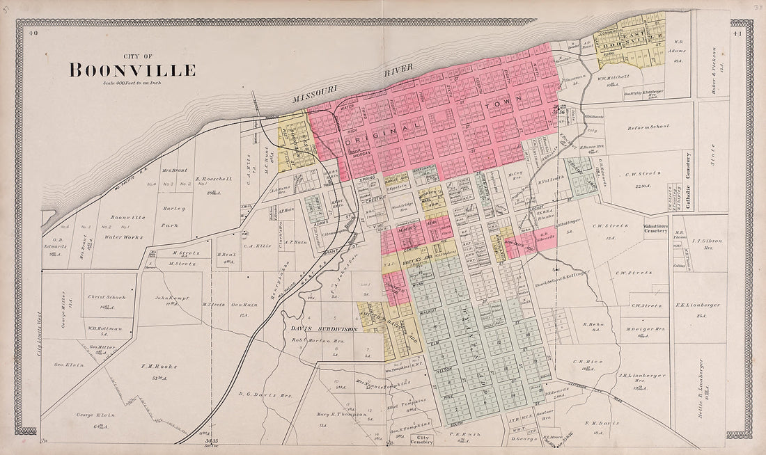 City of Boonville from Illustrated Historical Atlas of Cooper County, Missouri : Compiled and Published from Official Records and Personal Examination 1897City of Boonville from Illustrated Historical Atlas of Cooper County, Missouri : Compiled and Published from Official Records and Personal Examination 1897
- Regular price
-
$49.95 $99.95 - Regular price
-
$23.95 - Sale price
-
$49.95 $99.95
-
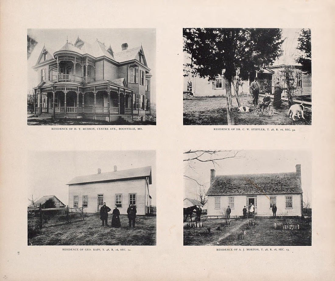 Residences from Illustrated Historical Atlas of Cooper County, Missouri : Compiled and Published from Official Records and Personal Examination 1897Residences from Illustrated Historical Atlas of Cooper County, Missouri : Compiled and Published from Official Records and Personal Examination 1897
- Regular price
-
$49.95 $83.95 - Regular price
-
$11.95 - Sale price
-
$49.95 $83.95
-
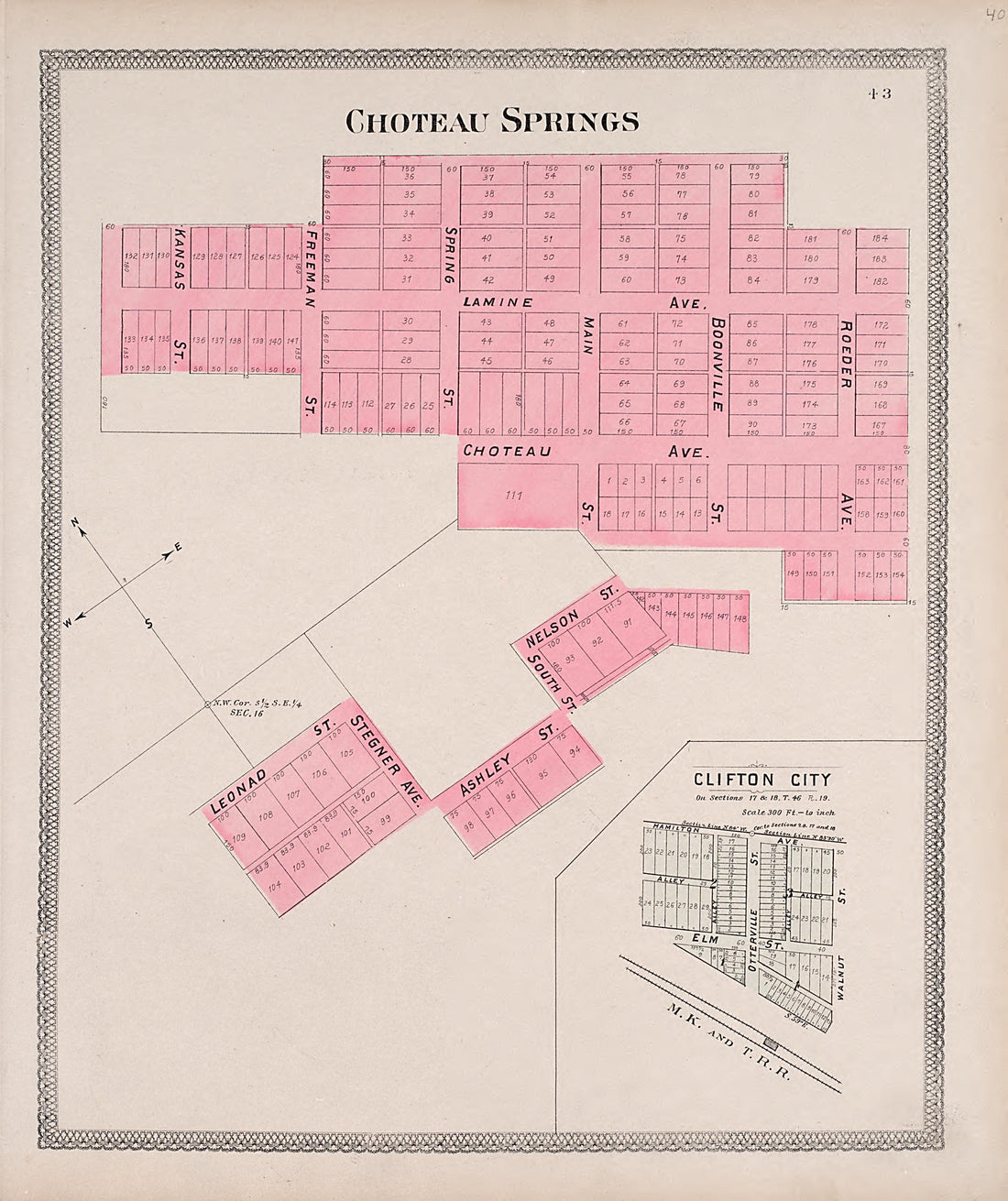 Choteau Springs from Illustrated Historical Atlas of Cooper County, Missouri : Compiled and Published from Official Records and Personal Examination 1897Choteau Springs from Illustrated Historical Atlas of Cooper County, Missouri : Compiled and Published from Official Records and Personal Examination 1897
- Regular price
-
$49.95 $83.95 - Regular price
-
$11.95 - Sale price
-
$49.95 $83.95
-
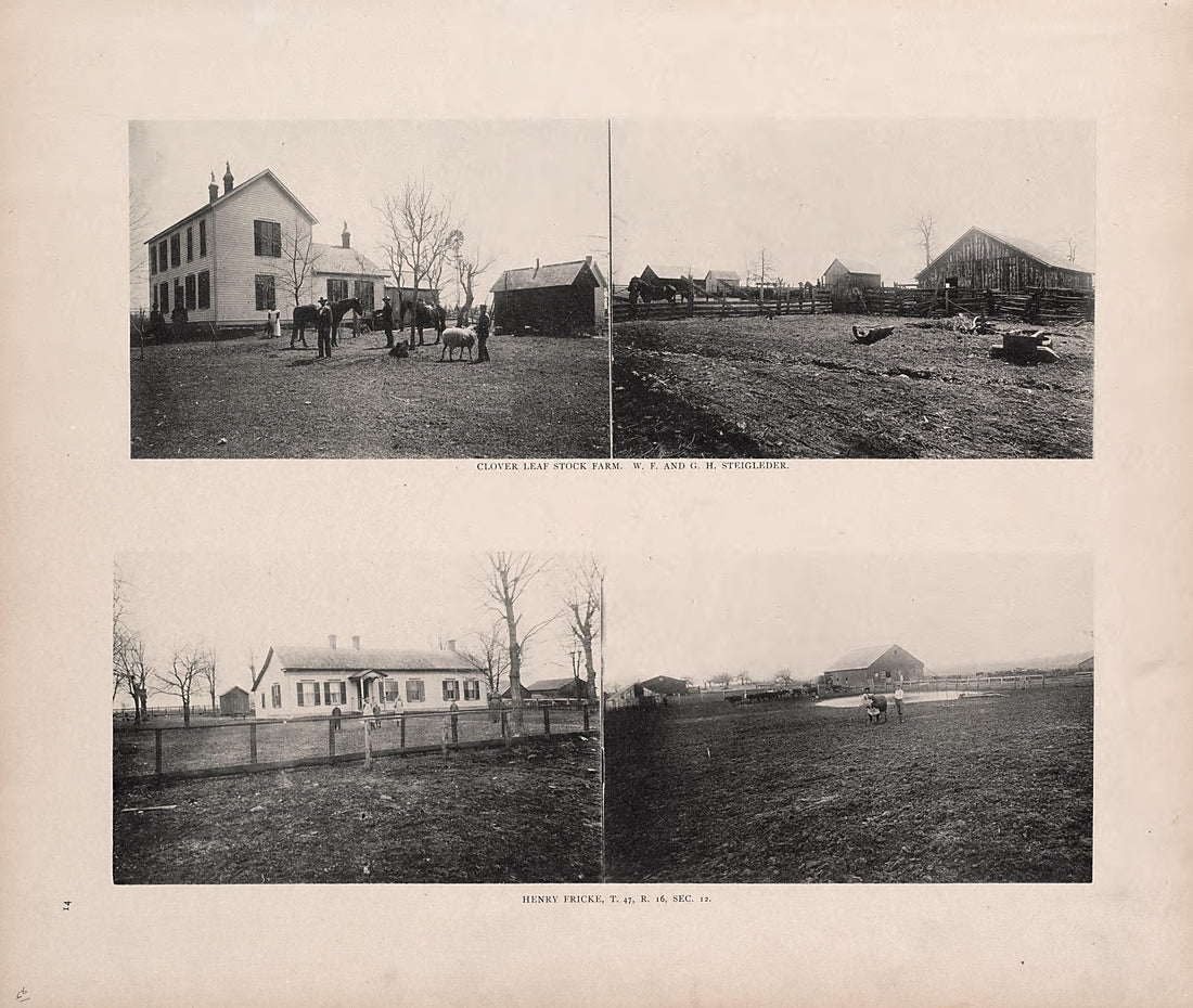 Farms from Illustrated Historical Atlas of Cooper County, Missouri : Compiled and Published from Official Records and Personal Examination 1897Farms from Illustrated Historical Atlas of Cooper County, Missouri : Compiled and Published from Official Records and Personal Examination 1897
- Regular price
-
$49.95 $83.95 - Regular price
-
$11.95 - Sale price
-
$49.95 $83.95
-
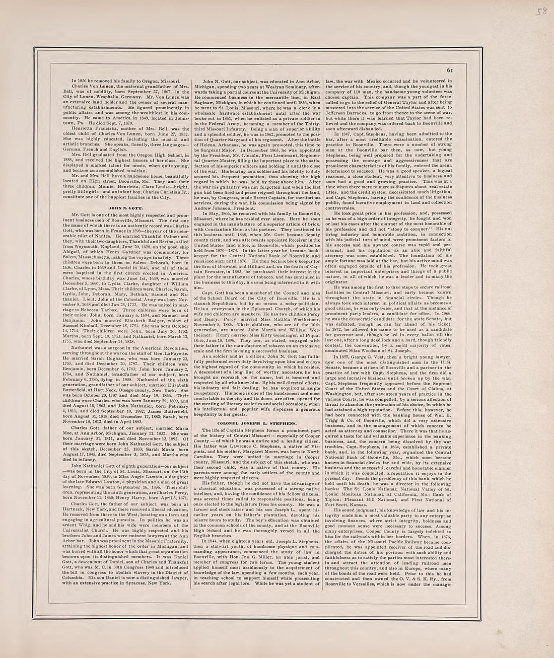 Biographies, Cont. from Illustrated Historical Atlas of Cooper County, Missouri : Compiled and Published from Official Records and Personal Examination 1897Biographies, Cont. from Illustrated Historical Atlas of Cooper County, Missouri : Compiled and Published from Official Records and Personal Examination 1897
- Regular price
-
$49.95 $83.95 - Regular price
-
$11.95 - Sale price
-
$49.95 $83.95
-
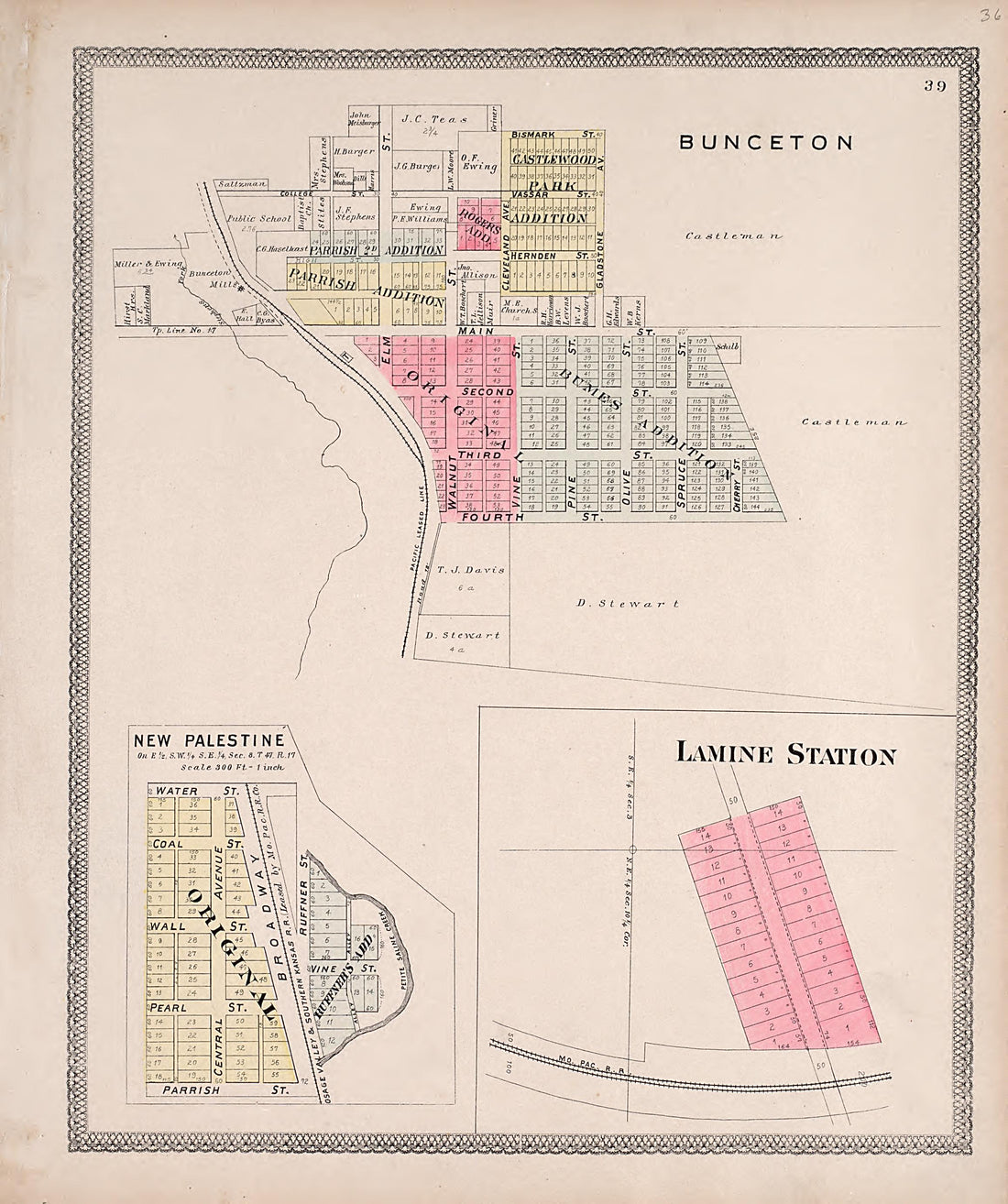 Bunceton; New Palestine; Lamine Station from Illustrated Historical Atlas of Cooper County, Missouri : Compiled and Published from Official Records and Personal Examination 1897Bunceton; New Palestine; Lamine Station from Illustrated Historical Atlas of Cooper County, Missouri : Compiled and Published from Official Records and Personal Examination 1897
- Regular price
-
$49.95 $83.95 - Regular price
-
$11.95 - Sale price
-
$49.95 $83.95
-
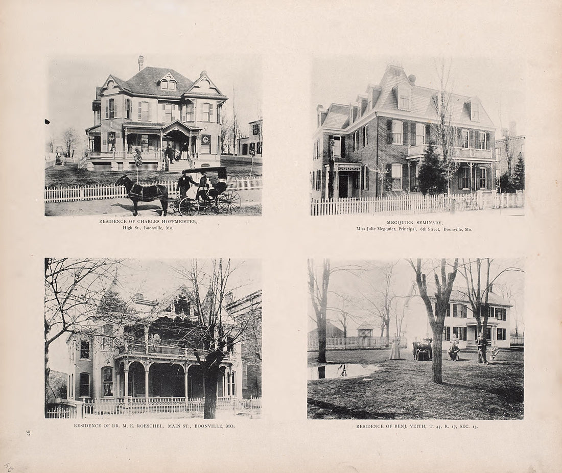 Residences from Illustrated Historical Atlas of Cooper County, Missouri : Compiled and Published from Official Records and Personal Examination 1897Residences from Illustrated Historical Atlas of Cooper County, Missouri : Compiled and Published from Official Records and Personal Examination 1897
- Regular price
-
$49.95 $83.95 - Regular price
-
$10.95 - Sale price
-
$49.95 $83.95
-
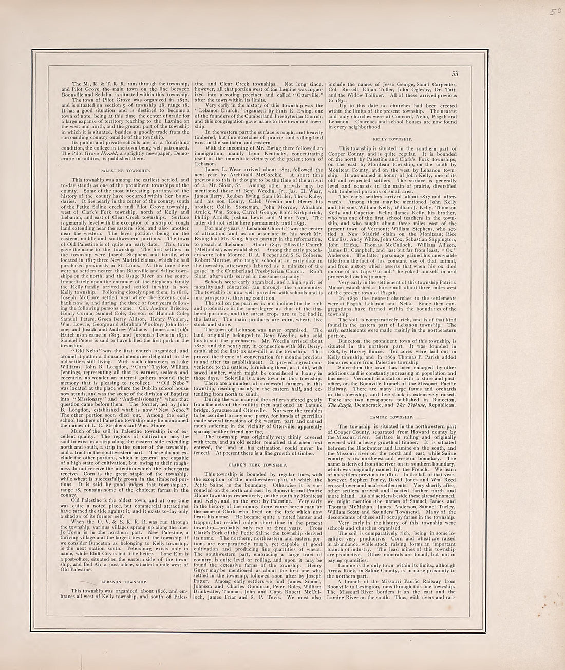 History of Cooper County, Cont. from Illustrated Historical Atlas of Cooper County, Missouri : Compiled and Published from Official Records and Personal Examination 1897History of Cooper County, Cont. from Illustrated Historical Atlas of Cooper County, Missouri : Compiled and Published from Official Records and Personal Examination 1897
- Regular price
-
$49.95 $83.95 - Regular price
-
$11.95 - Sale price
-
$49.95 $83.95
-
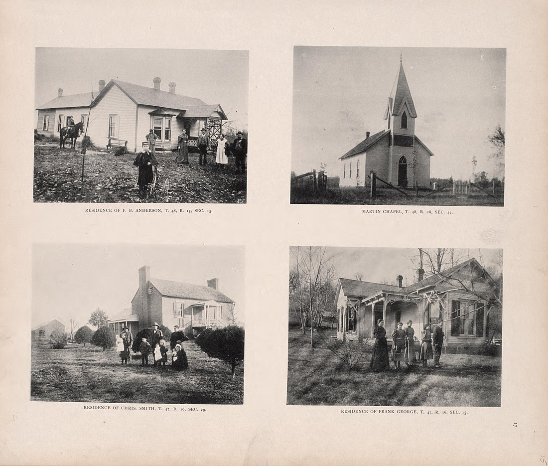 Residences; Church from Illustrated Historical Atlas of Cooper County, Missouri : Compiled and Published from Official Records and Personal Examination 1897Residences; Church from Illustrated Historical Atlas of Cooper County, Missouri : Compiled and Published from Official Records and Personal Examination 1897
- Regular price
-
$49.95 $83.95 - Regular price
-
$10.95 - Sale price
-
$49.95 $83.95
