62 products
-
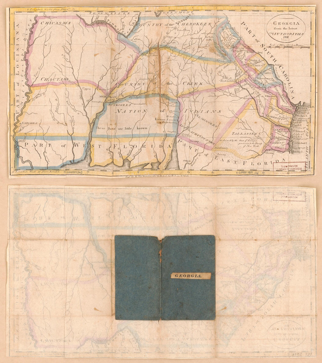 Georgia, from the Latest Authorities 1831Georgia, from the Latest Authorities 1831
- Regular price
-
$39.95 $83.95 - Regular price
-
$29.95 - Sale price
-
$39.95 $83.95
-
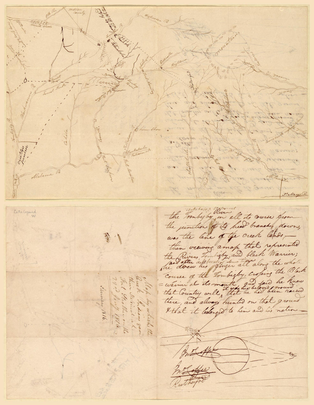
 Rough Sketches of the Creek Country : Alabama 1816Rough Sketches of the Creek Country : Alabama 1816
- Regular price
-
$39.95 $83.95 - Regular price
-
$32.95 - Sale price
-
$39.95 $83.95
-
 Map Showing Indian Reservations With the Limits of the United States : 1883Map Showing Indian Reservations With the Limits of the United States : 1883
- Regular price
-
$46.95 $221.95 - Regular price
-
$41.95 - Sale price
-
$46.95 $221.95
-
 Rand McNally & County's New 11 X 14 Map of Indian Territory and Oklahoma 1895Rand McNally & County's New 11 X 14 Map of Indian Territory and Oklahoma 1895
- Regular price
-
$39.95 $83.95 - Regular price
-
$29.95 - Sale price
-
$39.95 $83.95
-
 Map by Which the Creek Indians Gave Their Statement at Fort Strother On the 22nd Jany, 1816 : Alabama and GeorgiaMap by Which the Creek Indians Gave Their Statement at Fort Strother On the 22nd Jany, 1816 : Alabama and Georgia
- Regular price
-
$39.95 $88.95 - Regular price
-
$32.95 - Sale price
-
$39.95 $88.95
-
 A New Map of the United States With the Additional Territories : On an Improved Plan, Exhibiting a View of the Rocky Mountains Surveyed by a Company of Winebago i.e. Winnebago Indians In 1828A New Map of the United States With the Additional Territories : On an Improved Plan, Exhibiting a View of the Rocky Mountains Surveyed by a Company of Winebago i.e. Winnebago Indians In 1828
- Regular price
-
$39.95 $83.95 - Regular price
-
$29.95 - Sale price
-
$39.95 $83.95
-
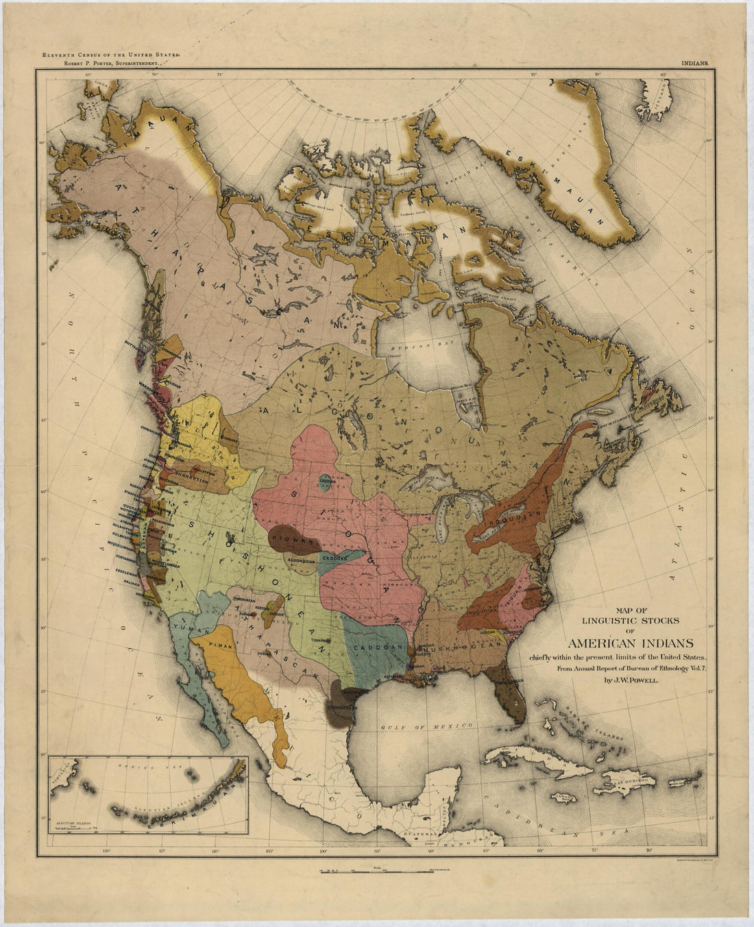 Map of Linguistic Stocks of American Indians 1890Map of Linguistic Stocks of American Indians 1890
- Regular price
-
$39.95 $83.95 - Regular price
-
$34.95 - Sale price
-
$39.95 $83.95
-
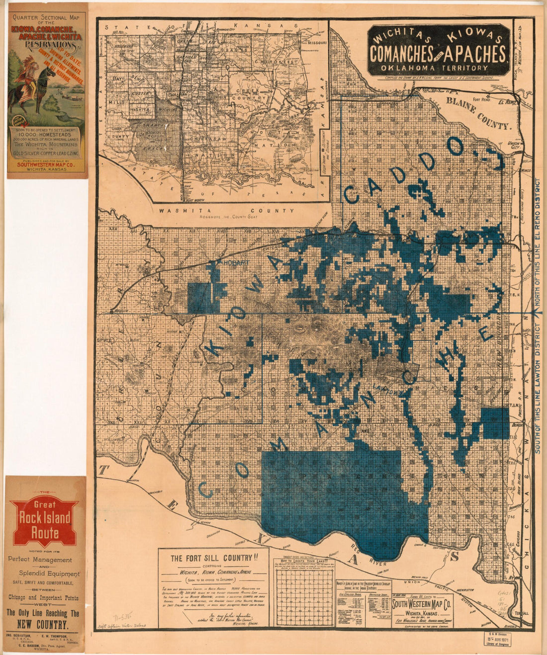 Wichitas, Kiowas, Comanches and Apaches, Oklahoma Territory 1890Wichitas, Kiowas, Comanches and Apaches, Oklahoma Territory 1890
- Regular price
-
$39.95 $86.95 - Regular price
-
$34.95 - Sale price
-
$39.95 $86.95
-
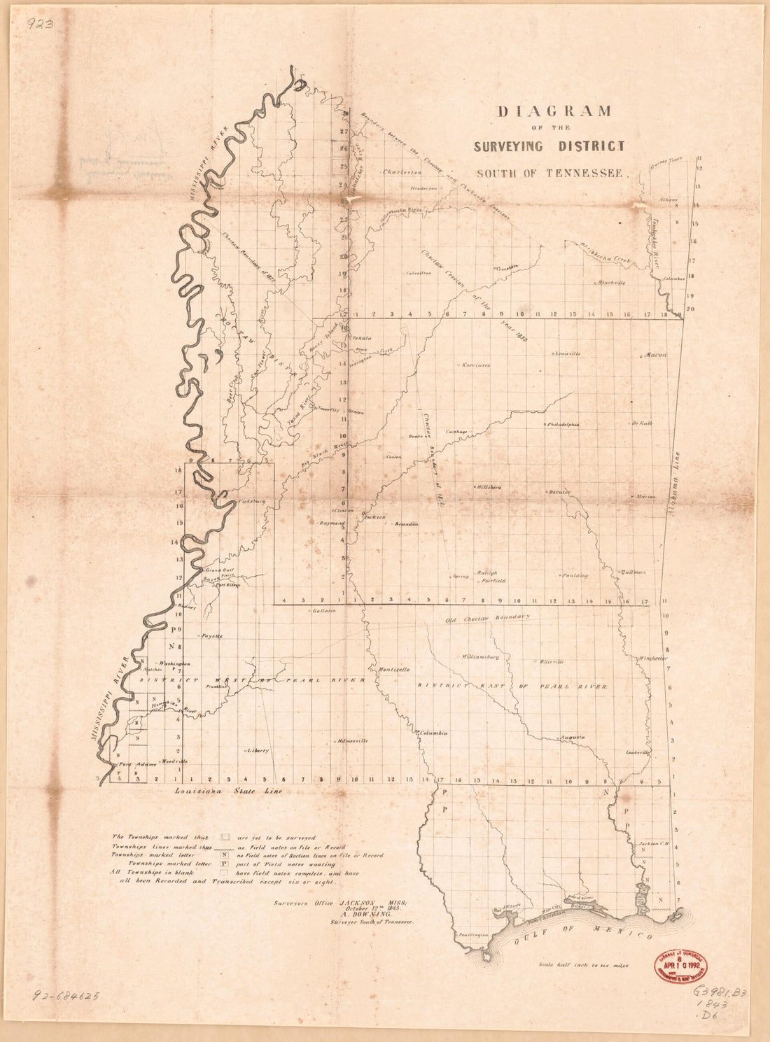 Diagram of the Surveying District, South of Tennessee : Mississippi 1843Diagram of the Surveying District, South of Tennessee : Mississippi 1843
- Regular price
-
$43.95 $88.95 - Regular price
-
$32.95 - Sale price
-
$43.95 $88.95
-
 Map of the Former Territorial Limits of the Cherokee Nation Of Indians ; Map Showing the Territory Originally Assigned Cherokee Nation Of Indians 1884Map of the Former Territorial Limits of the Cherokee Nation Of Indians ; Map Showing the Territory Originally Assigned Cherokee Nation Of Indians 1884
- Regular price
-
$46.95 $151.95 - Regular price
-
$41.95 - Sale price
-
$46.95 $151.95
-
 Novi Belgii Novæque Angliæ Nec Non Partis Virginiæ Tabula : Multis In Locis Emendata 1690Novi Belgii Novæque Angliæ Nec Non Partis Virginiæ Tabula : Multis In Locis Emendata 1690
- Regular price
-
$39.95 $107.95 - Regular price
-
$34.95 - Sale price
-
$39.95 $107.95
-
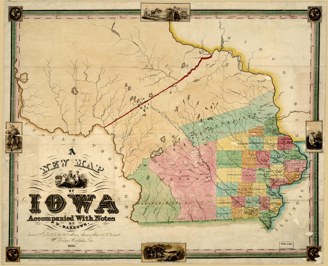 A New Map of Iowa : Accompanied With Notes by W. Barrows 1845A New Map of Iowa : Accompanied With Notes by W. Barrows 1845
- Regular price
-
$39.95 $104.95 - Regular price
-
$34.95 - Sale price
-
$39.95 $104.95


