949 products
-
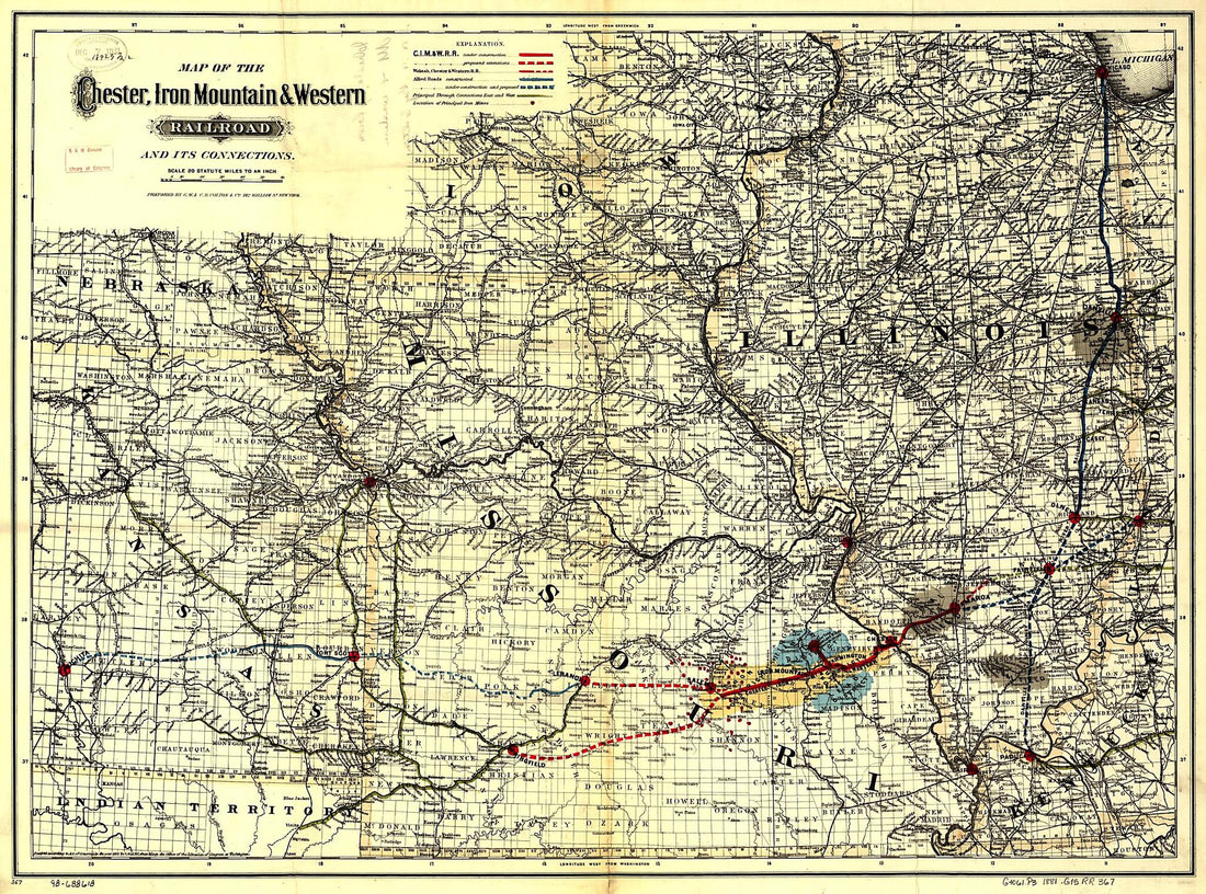 Map of the Chester, Iron Mountain & Western Railroad and Its Connections 1881Map of the Chester, Iron Mountain & Western Railroad and Its Connections 1881
- Regular price
-
$43.95 $147.95 - Regular price
-
$32.95 - Sale price
-
$43.95 $147.95
-
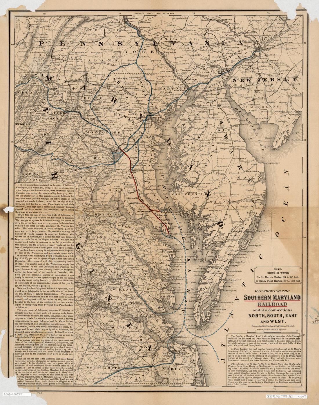 Map Showing the Southern Maryland Railroad and Its Connections : North, South, East, and West 1881Map Showing the Southern Maryland Railroad and Its Connections : North, South, East, and West 1881
- Regular price
-
$39.95 $83.95 - Regular price
-
$34.95 - Sale price
-
$39.95 $83.95
-
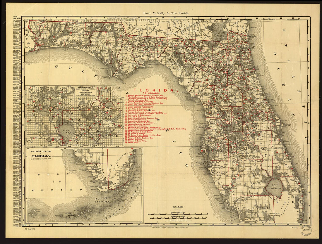 McNally Indexed County and Township Pocket Map and Shippers Guide of Florida Showing All Railroads, Cities, Towns, Villages, Post Offices, Lakes, Rivers, Etc 1900McNally Indexed County and Township Pocket Map and Shippers Guide of Florida Showing All Railroads, Cities, Towns, Villages, Post Offices, Lakes, Rivers, Etc 1900
- Regular price
-
$43.95 $88.95 - Regular price
-
$32.95 - Sale price
-
$43.95 $88.95
-
 The American Union Railroad Map of the United States, British Possessions, West Indies, Mexico and Central America in 1872The American Union Railroad Map of the United States, British Possessions, West Indies, Mexico and Central America in 1872
- Regular price
-
$46.95 $206.95 - Regular price
-
$41.95 - Sale price
-
$46.95 $206.95
-
 Map of All the Railroads In the United States In Operation and Progress 1854Map of All the Railroads In the United States In Operation and Progress 1854
- Regular price
-
$39.95 $154.95 - Regular price
-
$34.95 - Sale price
-
$39.95 $154.95
-
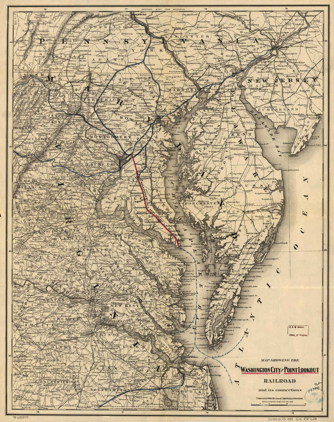 Map Showing the Washington City and Point Lookout Railroad and Its Connections 1882Map Showing the Washington City and Point Lookout Railroad and Its Connections 1882
- Regular price
-
$39.95 $83.95 - Regular price
-
$34.95 - Sale price
-
$39.95 $83.95
-
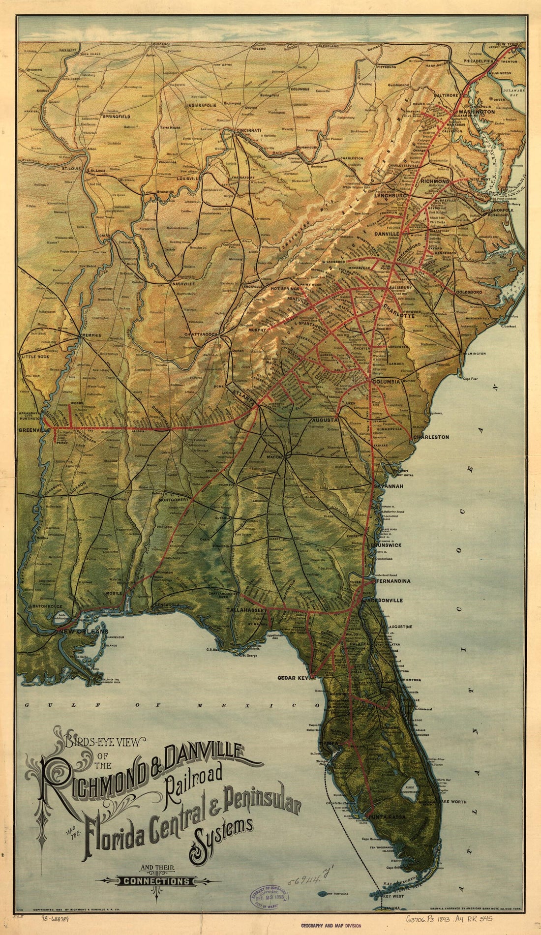 Bird's Eye View of the Richmond & Danville Railroad and the Florida Central & Peninsular Systems and Their Connections 1893Bird's Eye View of the Richmond & Danville Railroad and the Florida Central & Peninsular Systems and Their Connections 1893
- Regular price
-
$46.95 $99.95 - Regular price
-
$41.95 - Sale price
-
$46.95 $99.95
-
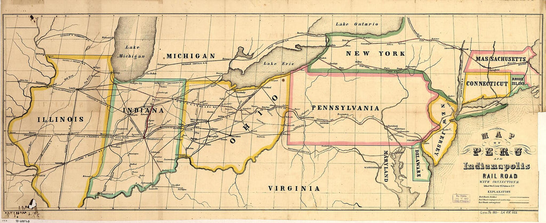 Map of Peru and Indianapolis Rail Road With Connections 1850Map of Peru and Indianapolis Rail Road With Connections 1850
- Regular price
-
$46.95 $119.95 - Regular price
-
$41.95 - Sale price
-
$46.95 $119.95
-
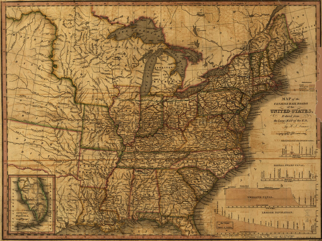 Map of the Canals & Rail Roads of the United States Reduced from the Large Map of the U.S 1830Map of the Canals & Rail Roads of the United States Reduced from the Large Map of the U.S 1830
- Regular price
-
$43.95 $88.95 - Regular price
-
$32.95 - Sale price
-
$43.95 $88.95
-
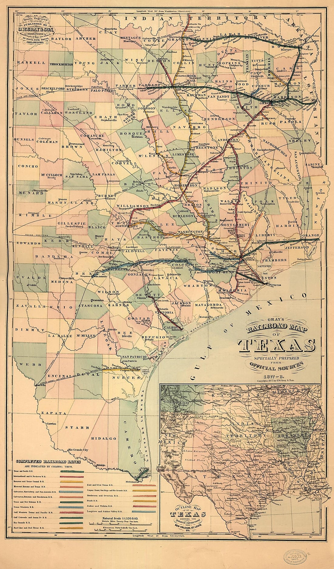 Gray's Railroad Map of Texas 1877Gray's Railroad Map of Texas 1877
- Regular price
-
$46.95 $113.95 - Regular price
-
$41.95 - Sale price
-
$46.95 $113.95
-
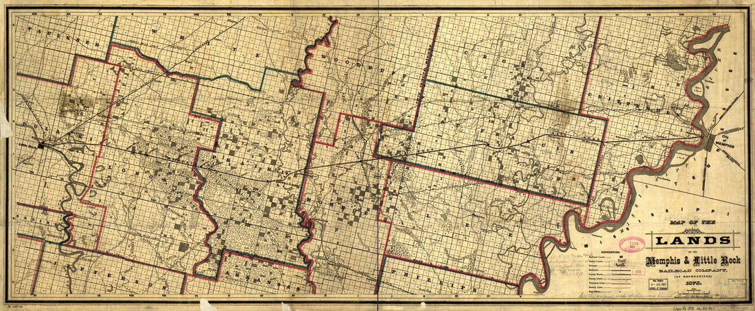 Map of the Lands of the Memphis & Little Rock Railroad Company (as Reorganized) in 1878Map of the Lands of the Memphis & Little Rock Railroad Company (as Reorganized) in 1878
- Regular price
-
$46.95 $99.95 - Regular price
-
$41.95 - Sale price
-
$46.95 $99.95
-
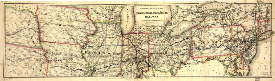 Map Showing the Lines of the Columbus, Chicago, and Indiana Central Railway, and Their Connections in 1868Map Showing the Lines of the Columbus, Chicago, and Indiana Central Railway, and Their Connections in 1868
- Regular price
-
$46.95 $136.95 - Regular price
-
$41.95 - Sale price
-
$46.95 $136.95


