

949 products
-
 Southern Mississippi and Alabama Showing the Approaches to Mobile 1863Southern Mississippi and Alabama Showing the Approaches to Mobile 1863
- Regular price
-
$49.95 $145.95 - Regular price
-
$34.95 - Sale price
-
$49.95 $145.95
-
 Map of the Country Embracing the Various Routes Surveyed for the Balt. & Ohio Rail Road by Order of the Board of Engineers 1831Map of the Country Embracing the Various Routes Surveyed for the Balt. & Ohio Rail Road by Order of the Board of Engineers 1831
- Regular price
-
$52.95 $99.95 - Regular price
-
$36.95 - Sale price
-
$52.95 $99.95
-
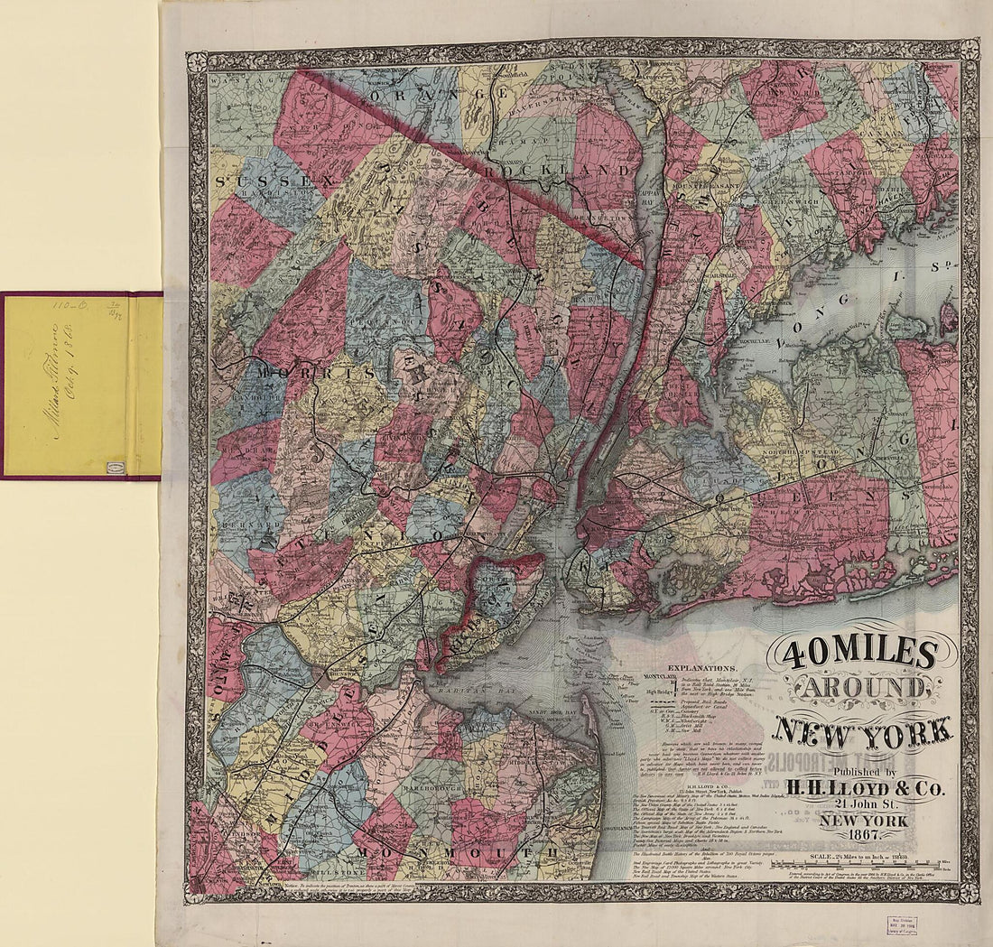 40 Miles Around New York (Forty Miles Around New York, H.H. Lloyd's New York and Forty Miles Around It :, New York and Forty Miles Around It) 186740 Miles Around New York (Forty Miles Around New York, H.H. Lloyd's New York and Forty Miles Around It :, New York and Forty Miles Around It) 1867
- Regular price
-
$49.95 $205.95 - Regular price
-
$34.95 - Sale price
-
$49.95 $205.95
-
 Barringtons New and Reliable Railroad Map and Shippers & Travellers Guide of Pennsylvania, Engrd. by Ths. Leonhardt, Showing the Name of Every City, Town and Village In the State, With Nearest Rail Road Station 1860Barringtons New and Reliable Railroad Map and Shippers & Travellers Guide of Pennsylvania, Engrd. by Ths. Leonhardt, Showing the Name of Every City, Town and Village In the State, With Nearest Rail Road Station 1860
- Regular price
-
$49.95 $293.95 - Regular price
-
$34.95 - Sale price
-
$49.95 $293.95
-
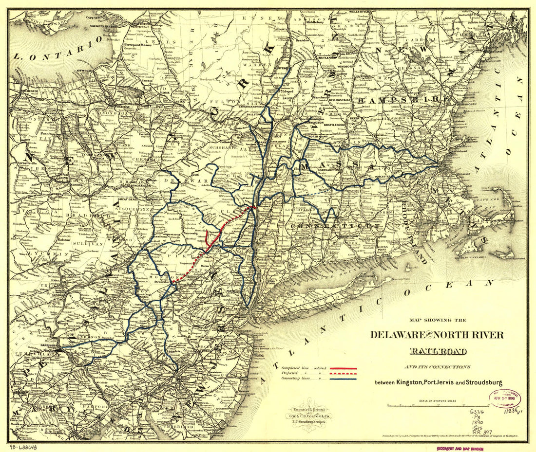 Map Showing the Delaware and North River Railroad and Its Connections Between Kingston, Port Jarvis and Stroudsburg 1890Map Showing the Delaware and North River Railroad and Its Connections Between Kingston, Port Jarvis and Stroudsburg 1890
- Regular price
-
$49.95 $83.95 - Regular price
-
$34.95 - Sale price
-
$49.95 $83.95
-
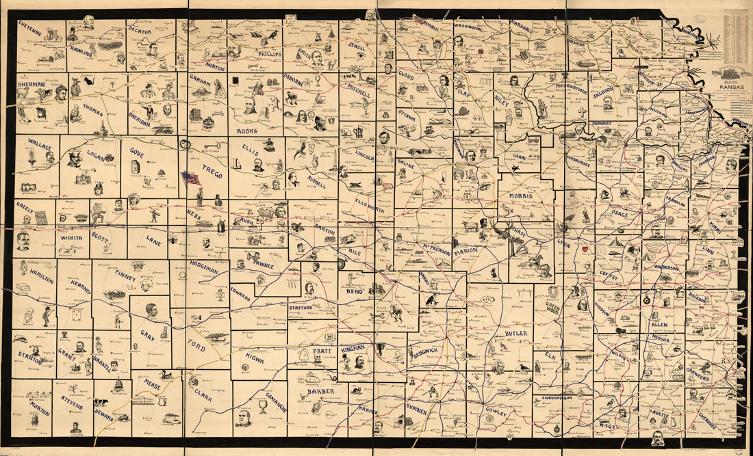 Galbraith's Railway Mail Service Maps, Kansas in 1897Galbraith's Railway Mail Service Maps, Kansas in 1897
- Regular price
-
$58.95 $291.95 - Regular price
-
$41.95 - Sale price
-
$58.95 $291.95
-
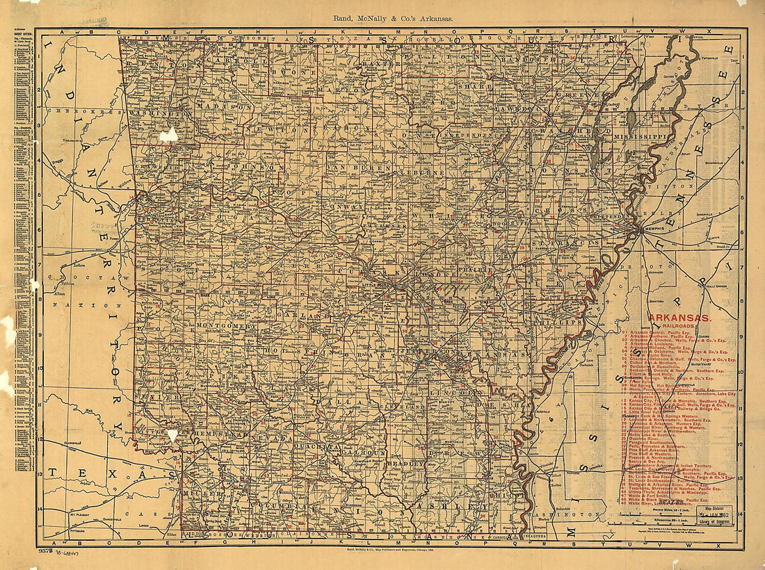 The Rand McNally Indexed County and Township Pocket Map and Shippers Guide of Arkansas Showing All Railroad, Cities, Towns, Villages, Post Offices, Lakes, Rivers, Etc 1898The Rand McNally Indexed County and Township Pocket Map and Shippers Guide of Arkansas Showing All Railroad, Cities, Towns, Villages, Post Offices, Lakes, Rivers, Etc 1898
- Regular price
-
$51.95 $132.95 - Regular price
-
$32.95 - Sale price
-
$51.95 $132.95
-
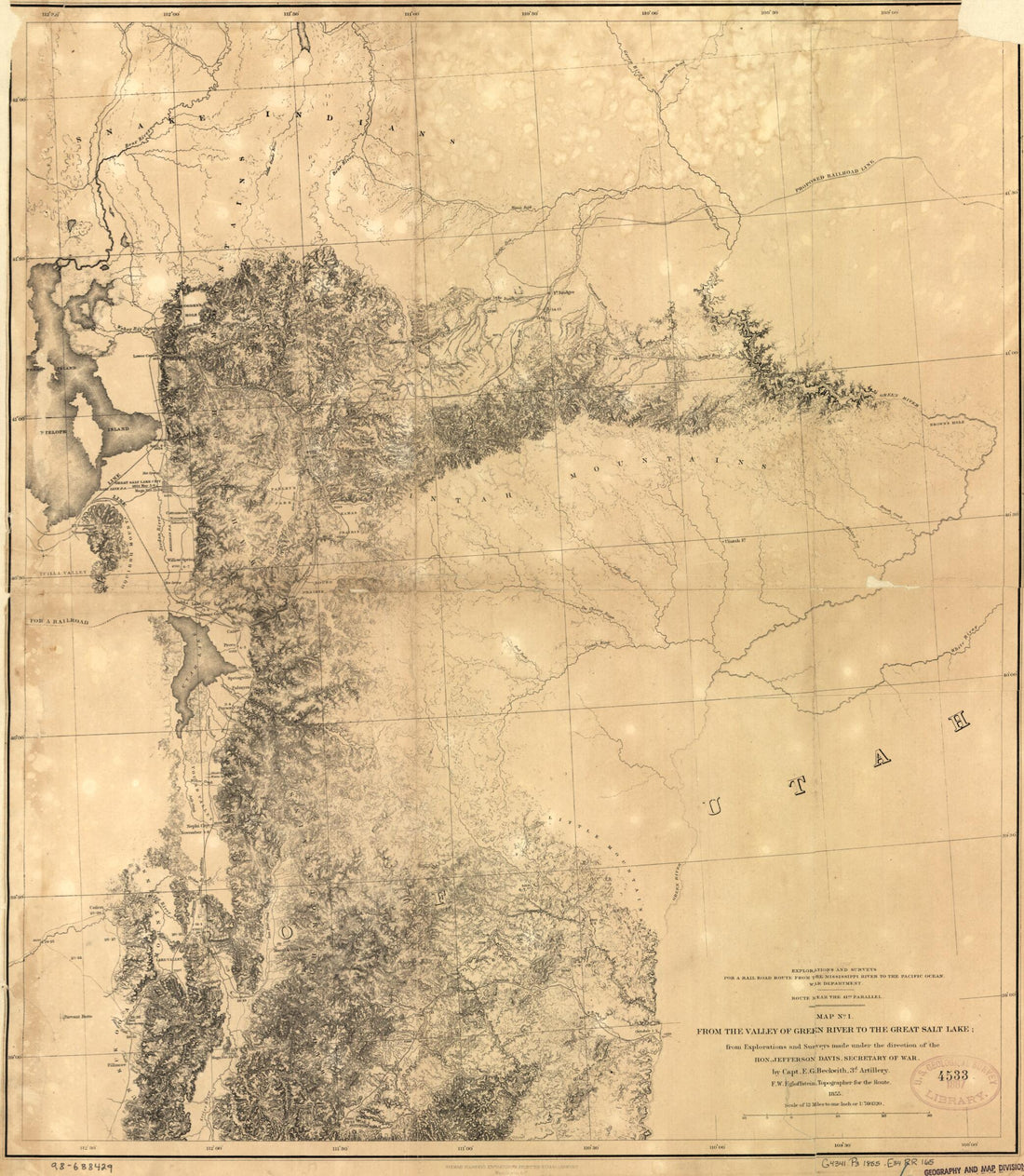 From the Valley of Green River to the Great Salt Lake 1855From the Valley of Green River to the Great Salt Lake 1855
- Regular price
-
$49.95 $83.95 - Regular price
-
$34.95 - Sale price
-
$49.95 $83.95
-
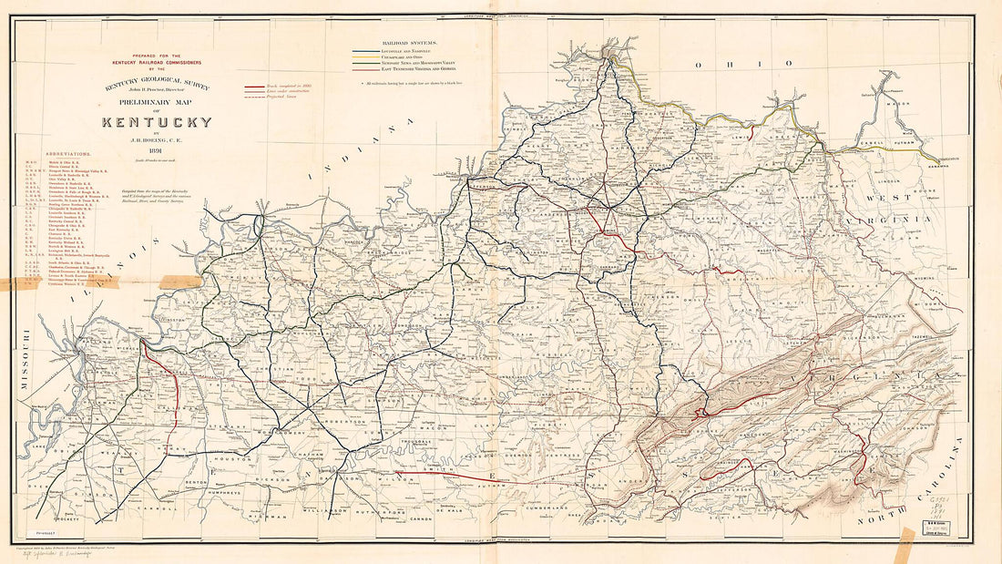 Preliminary Map of Kentucky 1891Preliminary Map of Kentucky 1891
- Regular price
-
$58.95 $267.95 - Regular price
-
$41.95 - Sale price
-
$58.95 $267.95
-
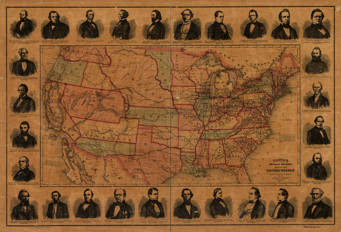 Lloyd's American Railroad Map of the United States, Showing the Three Proposed Roads and the Overland Mail Route to the Pacific 1859Lloyd's American Railroad Map of the United States, Showing the Three Proposed Roads and the Overland Mail Route to the Pacific 1859
- Regular price
-
$58.95 $106.95 - Regular price
-
$41.95 - Sale price
-
$58.95 $106.95
-
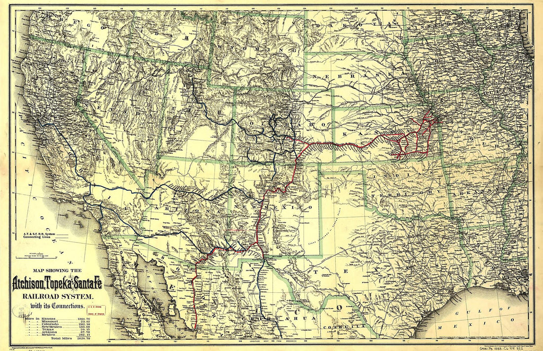 Map Showing the Atchison, Topeka and Santa Fé Railroad System, With Its Connections 1883Map Showing the Atchison, Topeka and Santa Fé Railroad System, With Its Connections 1883
- Regular price
-
$58.95 $172.95 - Regular price
-
$41.95 - Sale price
-
$58.95 $172.95
-
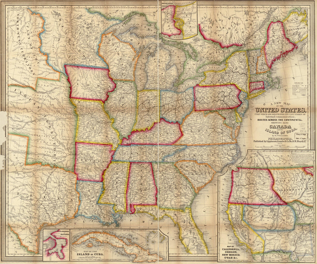 A New Map of the United States. Upon Which Are Delineated Its Vast Works of Internal Communication, Routes Across the Continent &c. Showing Also Canada and the Island of Cuba 1851A New Map of the United States. Upon Which Are Delineated Its Vast Works of Internal Communication, Routes Across the Continent &c. Showing Also Canada and the Island of Cuba 1851
- Regular price
-
$49.95 $83.95 - Regular price
-
$34.95 - Sale price
-
$49.95 $83.95


