498 products
-
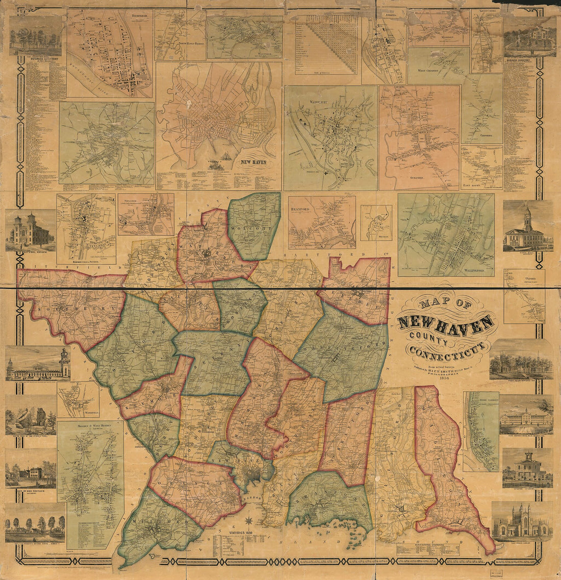 Map of New Haven County, Connecticut in 1856Map of New Haven County, Connecticut in 1856
- Regular price
-
$43.95 $204.95 - Regular price
-
$38.95 - Sale price
-
$43.95 $204.95
-
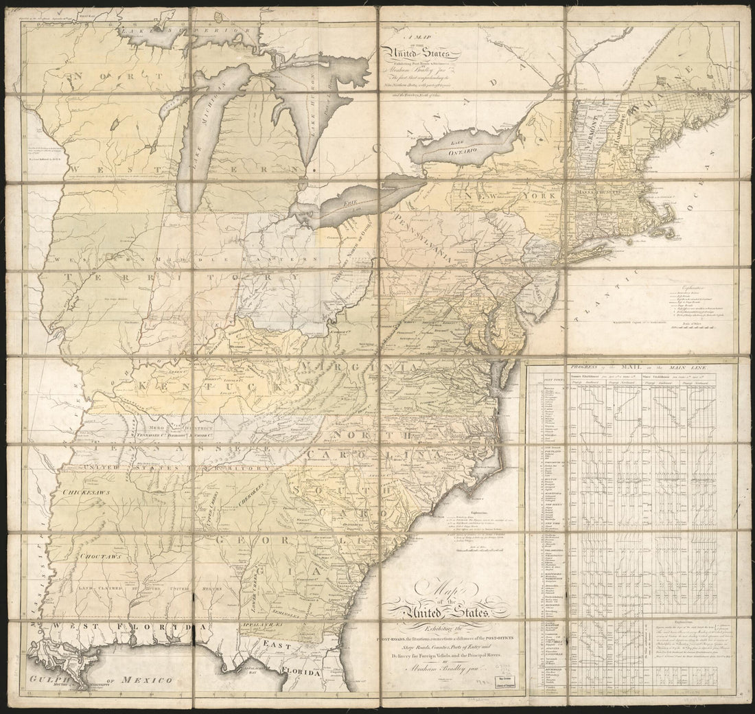
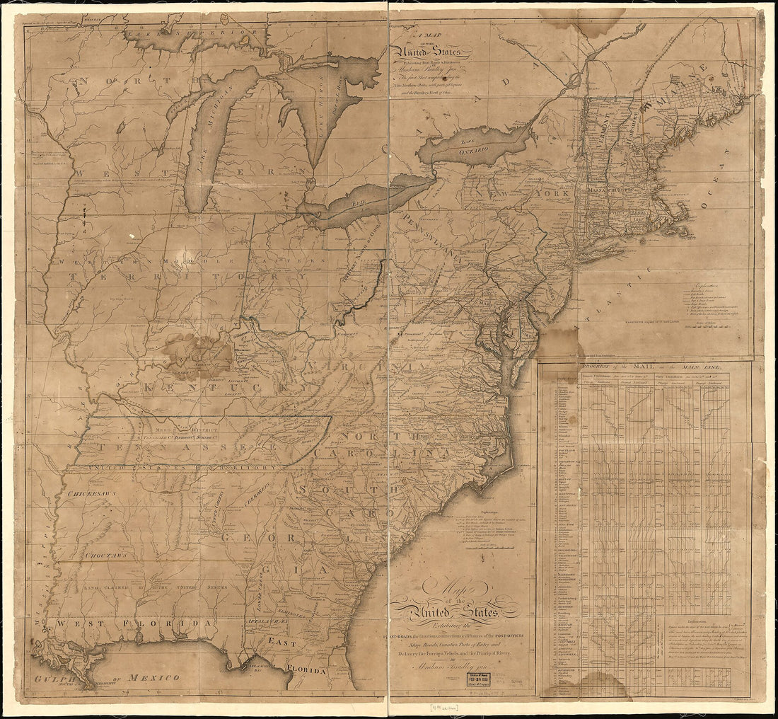 Roads, the Situations, Connections & Distances of the Post-offices, Stage Roads, Counties, Ports of Entry and Delivery for Foreign Vessels, and the Principal Rivers (Map of the United States, Exhibiting Post Roads & Distances) 1796Roads, the Situations, Connections & Distances of the Post-offices, Stage Roads, Counties, Ports of Entry and Delivery for Foreign Vessels, and the Principal Rivers (Map of the United States, Exhibiting Post Roads & Distances) 1796
- Regular price
-
$43.95 $146.95 - Regular price
-
$38.95 - Sale price
-
$43.95 $146.95
-
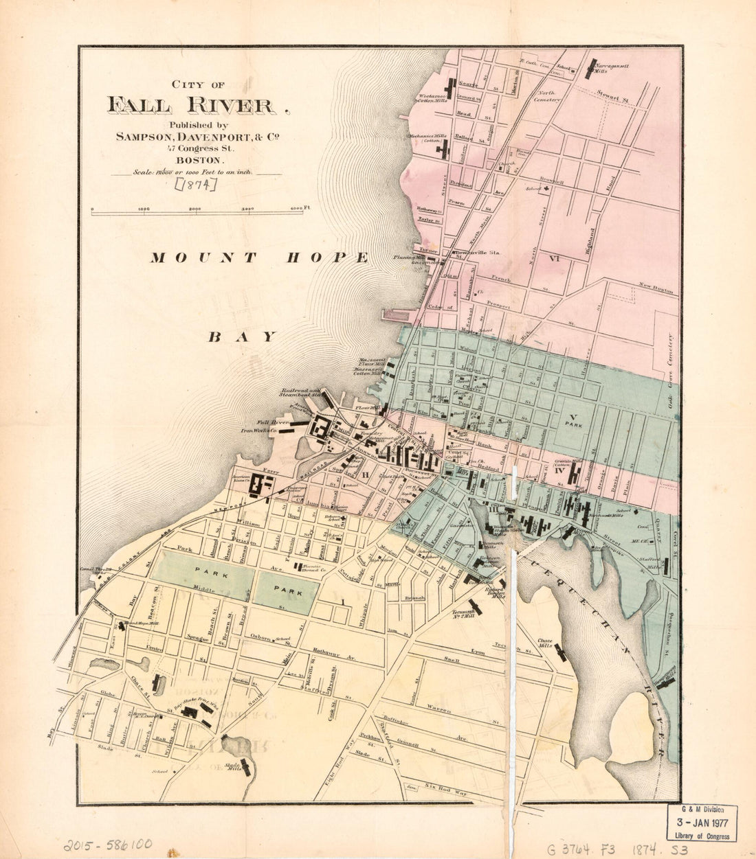 City of Fall River 1874City of Fall River 1874
- Regular price
-
$39.95 $83.95 - Regular price
-
$34.95 - Sale price
-
$39.95 $83.95
-
 Ohio, Indiana, Illinois & Kentucky 1877Ohio, Indiana, Illinois & Kentucky 1877
- Regular price
-
$39.95 $99.95 - Regular price
-
$34.95 - Sale price
-
$39.95 $99.95
-
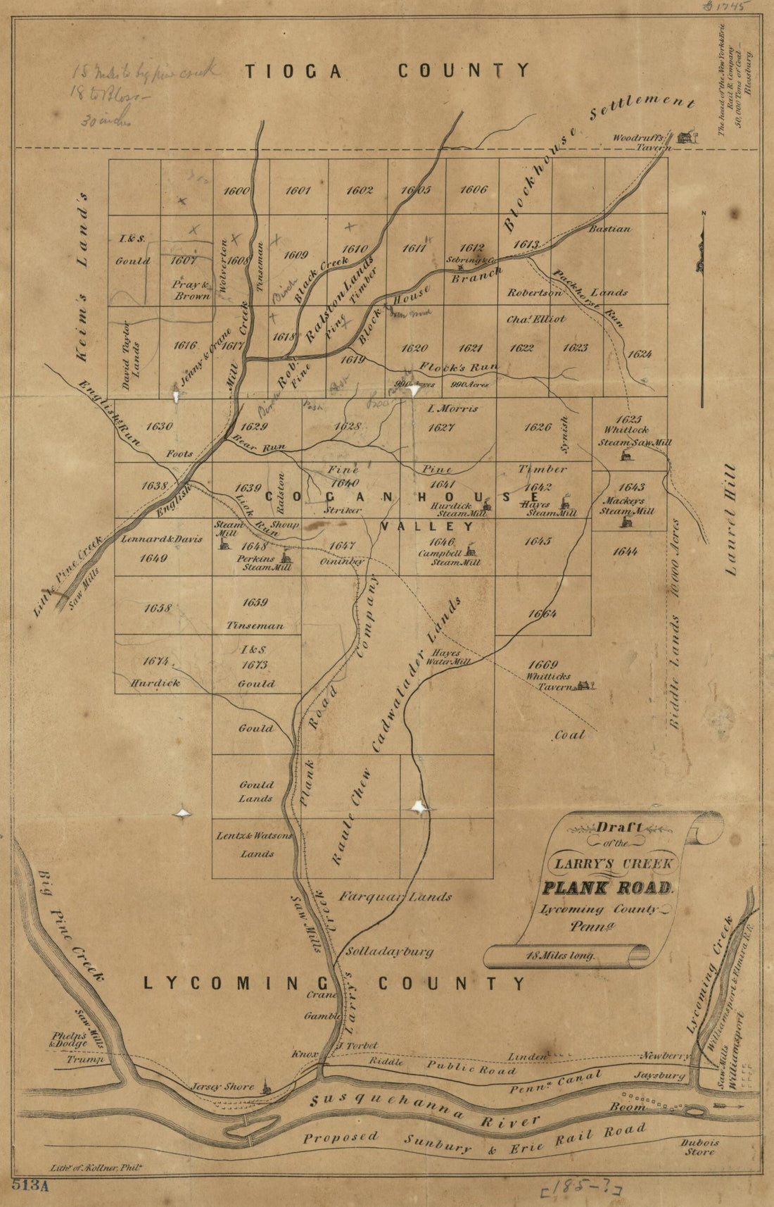 Draft of the Larry's Creek Plank Road, Lycoming County, Penn'a : 18 Miles Long 1855Draft of the Larry's Creek Plank Road, Lycoming County, Penn'a : 18 Miles Long 1855
- Regular price
-
$39.95 $99.95 - Regular price
-
$34.95 - Sale price
-
$39.95 $99.95
-
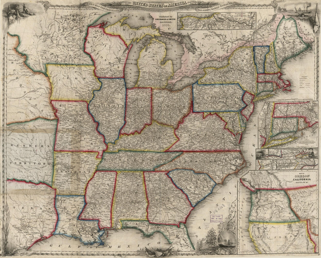 A New Map for Travellers Through the United States of America Showing the Railways, Canals & Stage Roads, With the Distances 1850A New Map for Travellers Through the United States of America Showing the Railways, Canals & Stage Roads, With the Distances 1850
- Regular price
-
$43.95 $83.95 - Regular price
-
$38.95 - Sale price
-
$43.95 $83.95
-
 Map of Larimer County, Colorado : A.D. 1883 : Showing Public Roads, Irrigating Canals, Rail Roads, Road Districts, School Districts, Voting Precincts, and Complete Topography (Map A.D. 1883 of Larimer County, Colorado) 1884Map of Larimer County, Colorado : A.D. 1883 : Showing Public Roads, Irrigating Canals, Rail Roads, Road Districts, School Districts, Voting Precincts, and Complete Topography (Map A.D. 1883 of Larimer County, Colorado) 1884
- Regular price
-
$43.95 $83.95 - Regular price
-
$38.95 - Sale price
-
$43.95 $83.95
-
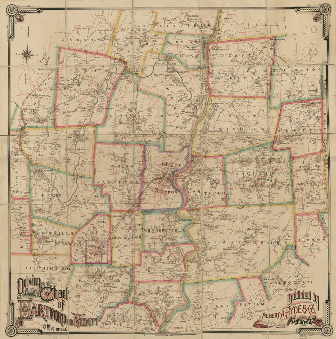 Driving Chart of Hartford and Vicinity : 15 Miles Around 1884Driving Chart of Hartford and Vicinity : 15 Miles Around 1884
- Regular price
-
$43.95 $176.95 - Regular price
-
$38.95 - Sale price
-
$43.95 $176.95
-
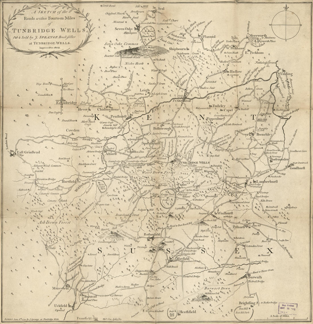 A Sketch of the Roads Within Fourteen Miles of Tunbridge Wells 1802A Sketch of the Roads Within Fourteen Miles of Tunbridge Wells 1802
- Regular price
-
$43.95 $83.95 - Regular price
-
$33.95 - Sale price
-
$43.95 $83.95
-
 Washington and Vicinity, Maryland, District of Columbia, Virginia in 1924Washington and Vicinity, Maryland, District of Columbia, Virginia in 1924
- Regular price
-
$43.95 $210.95 - Regular price
-
$38.95 - Sale price
-
$43.95 $210.95
-
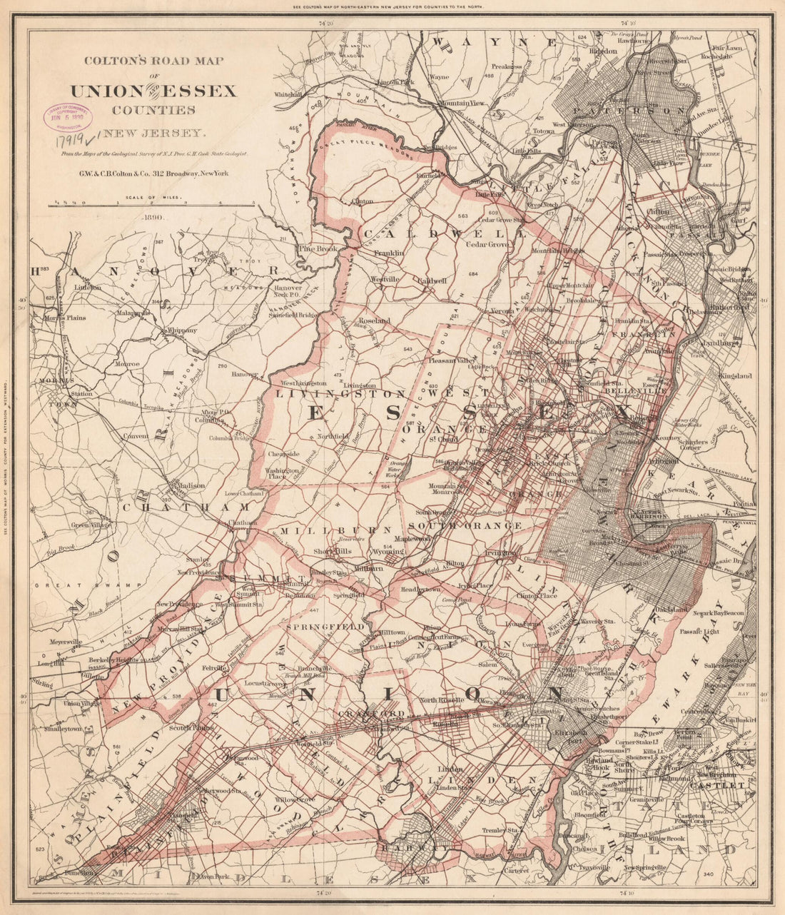 Colton's Road Map of Union and Essex Counties, New Jersey (Road Map of Union and Essex Counties, New Jersey) 1890Colton's Road Map of Union and Essex Counties, New Jersey (Road Map of Union and Essex Counties, New Jersey) 1890
- Regular price
-
$43.95 $83.95 - Regular price
-
$38.95 - Sale price
-
$43.95 $83.95
-
 Roads, the Situations, Connections & Distances of the Post-offices, Stage Roads, Counties, Ports of Entry and Delivery for Foreign Vessels, and the Principal Rivers (Map of the United States, Exhibiting Post Roads & Distances) 1796Roads, the Situations, Connections & Distances of the Post-offices, Stage Roads, Counties, Ports of Entry and Delivery for Foreign Vessels, and the Principal Rivers (Map of the United States, Exhibiting Post Roads & Distances) 1796
- Regular price
-
$43.95 $148.95 - Regular price
-
$38.95 - Sale price
-
$43.95 $148.95


