599 products
-
Map of Virginia, Maryland and Delaware Exhibiting the Post Offices, Post Roads, Canals, Rail Roads &c. (Delaware, Maryland, Virginia) 1839
 Map of Virginia, Maryland and Delaware Exhibiting the Post Offices, Post Roads, Canals, Rail Roads &c. (Delaware, Maryland, Virginia) 1839
- Regular price
-
$38.95 $191.95 - Regular price
-
$38.95 - Sale price
-
$38.95 $191.95
-
Map of Virginia, Maryland and Delaware Exhibiting the Post Offices, Post Roads, Canals, Rail Roads &c. (Delaware, Maryland, Virginia) 1839
 Map of Virginia, Maryland and Delaware Exhibiting the Post Offices, Post Roads, Canals, Rail Roads &c. (Delaware, Maryland, Virginia) 1839
- Regular price
-
$38.95 $210.95 - Regular price
-
$38.95 - Sale price
-
$38.95 $210.95
-
New York to New Rochelle : from Christopher Colles's Survey of U.S. Roads 1789 1800
 New York to New Rochelle : from Christopher Colles's Survey of U.S. Roads 1789 1800
- Regular price
-
$34.95 $83.95 - Regular price
-
$34.95 - Sale price
-
$34.95 $83.95
-
Middle East 1918
 Middle East 1918
- Regular price
-
$41.95 $161.95 - Regular price
-
$41.95 - Sale price
-
$41.95 $161.95
-
Map of New Haven County, Connecticut in 1856
 Map of New Haven County, Connecticut in 1856
- Regular price
-
$38.95 $199.95 - Regular price
-
$38.95 - Sale price
-
$38.95 $199.95
-
Roads, the Situations, Connections & Distances of the Post-offices, Stage Roads, Counties, Ports of Entry and Delivery for Foreign Vessels, and the Principal Rivers (Map of the United States, Exhibiting Post Roads & Distances) 1796
 Roads, the Situations, Connections & Distances of the Post-offices, Stage Roads, Counties, Ports of Entry and Delivery for Foreign Vessels, and the Principal Rivers (Map of the United States, Exhibiting Post Roads & Distances) 1796
- Regular price
-
$38.95 $141.95 - Regular price
-
$38.95 - Sale price
-
$38.95 $141.95
-
City of Fall River 1874
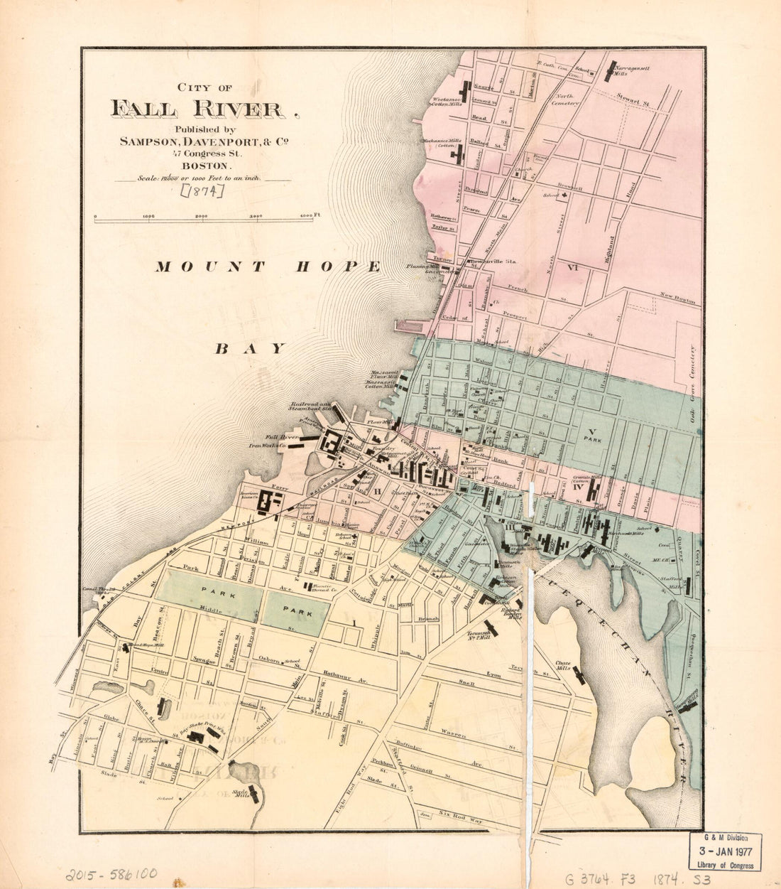 City of Fall River 1874
- Regular price
-
$34.95 $78.95 - Regular price
-
$34.95 - Sale price
-
$34.95 $78.95
-
Ohio, Indiana, Illinois & Kentucky 1877
 Ohio, Indiana, Illinois & Kentucky 1877
- Regular price
-
$34.95 $94.95 - Regular price
-
$34.95 - Sale price
-
$34.95 $94.95
-
Draft of the Larry's Creek Plank Road, Lycoming County, Penn'a : 18 Miles Long 1855
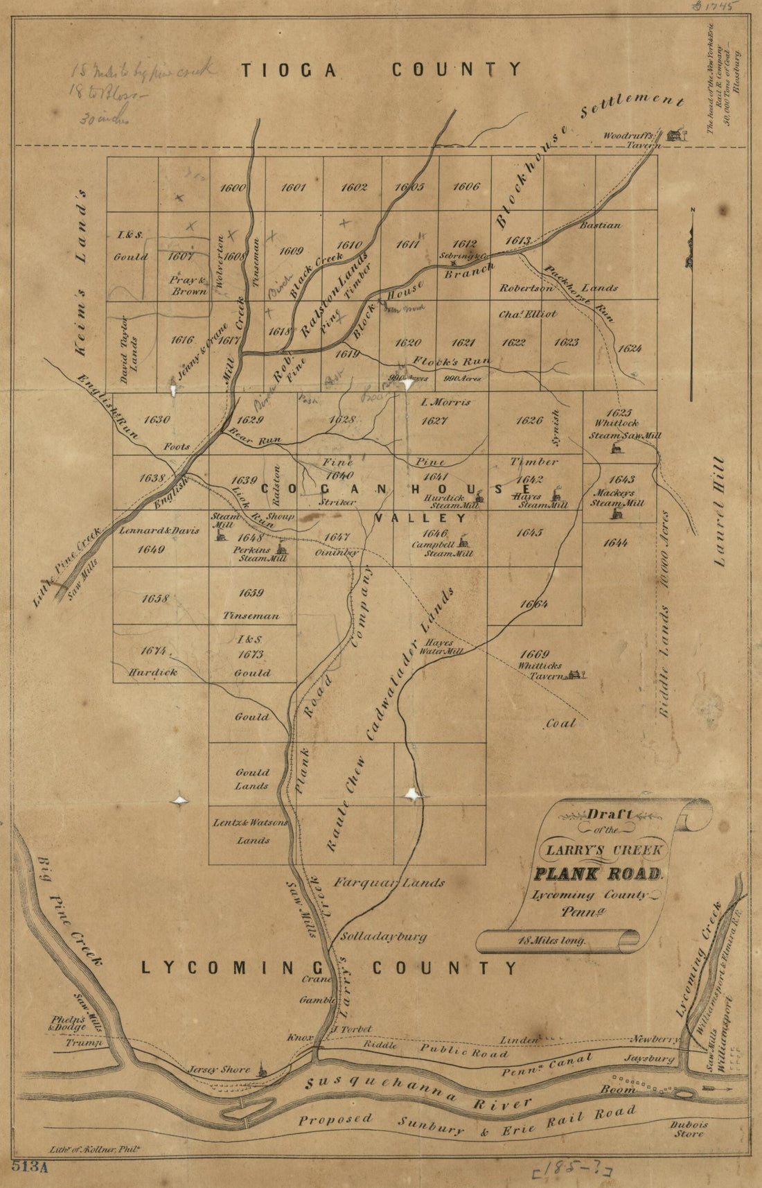 Draft of the Larry's Creek Plank Road, Lycoming County, Penn'a : 18 Miles Long 1855
- Regular price
-
$34.95 $94.95 - Regular price
-
$34.95 - Sale price
-
$34.95 $94.95
-
A New Map for Travellers Through the United States of America Showing the Railways, Canals & Stage Roads, With the Distances 1850
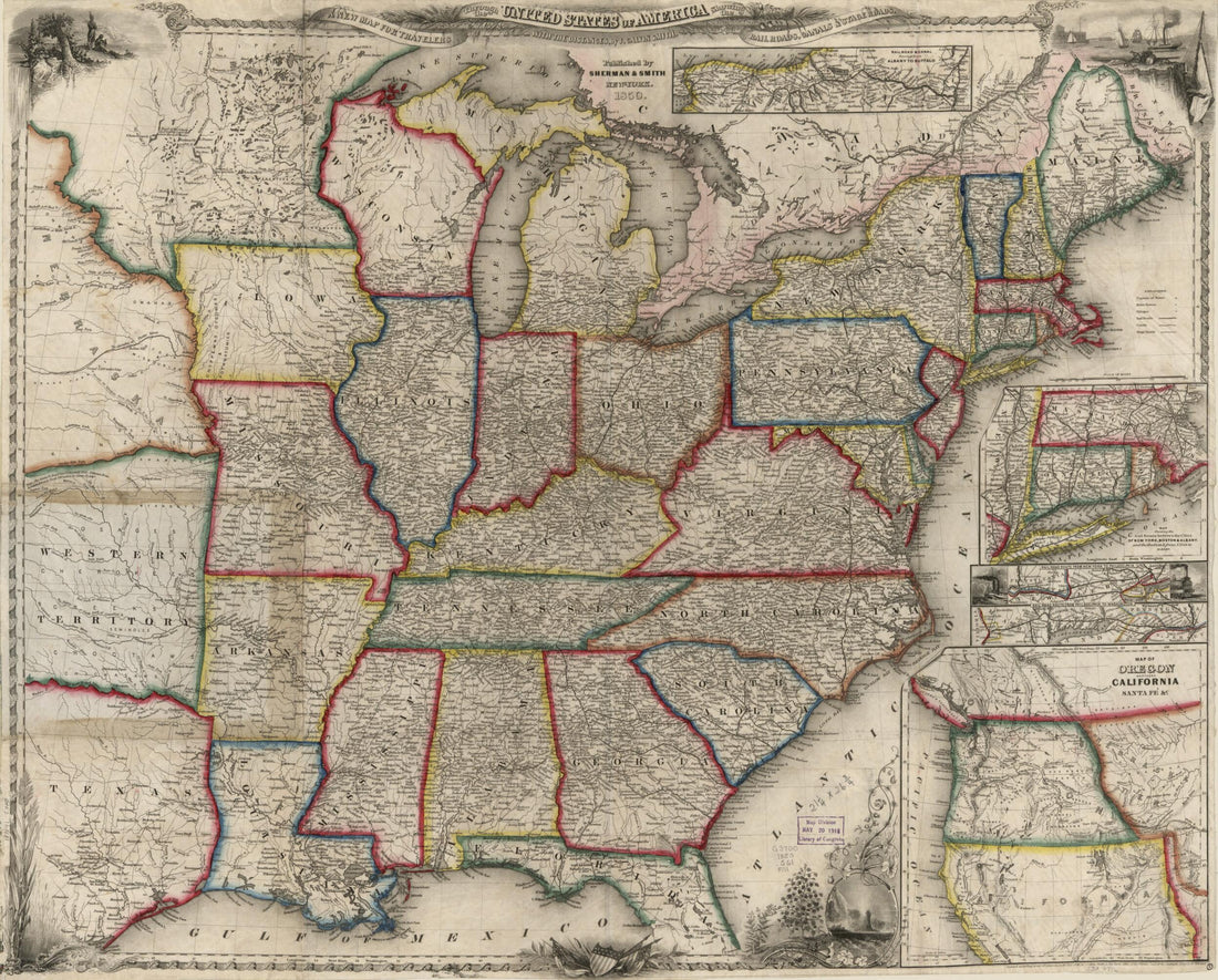 A New Map for Travellers Through the United States of America Showing the Railways, Canals & Stage Roads, With the Distances 1850
- Regular price
-
$38.95 $78.95 - Regular price
-
$38.95 - Sale price
-
$38.95 $78.95
-
Map of Larimer County, Colorado : A.D. 1883 : Showing Public Roads, Irrigating Canals, Rail Roads, Road Districts, School Districts, Voting Precincts, and Complete Topography (Map A.D. 1883 of Larimer County, Colorado) 1884
 Map of Larimer County, Colorado : A.D. 1883 : Showing Public Roads, Irrigating Canals, Rail Roads, Road Districts, School Districts, Voting Precincts, and Complete Topography (Map A.D. 1883 of Larimer County, Colorado) 1884
- Regular price
-
$38.95 $78.95 - Regular price
-
$38.95 - Sale price
-
$38.95 $78.95
-
Driving Chart of Hartford and Vicinity : 15 Miles Around 1884
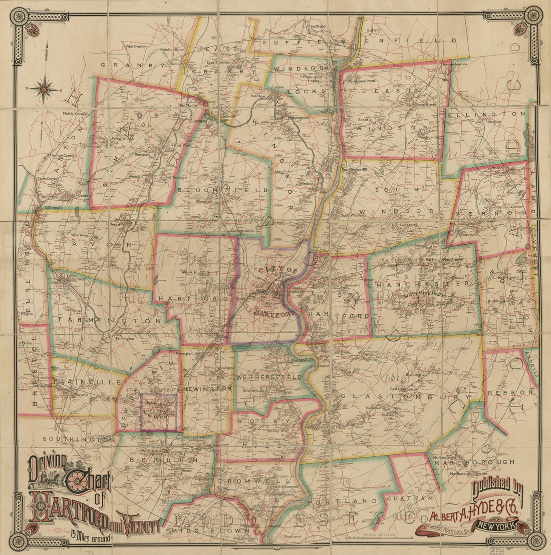 Driving Chart of Hartford and Vicinity : 15 Miles Around 1884
- Regular price
-
$38.95 $171.95 - Regular price
-
$38.95 - Sale price
-
$38.95 $171.95


