4782 products
-
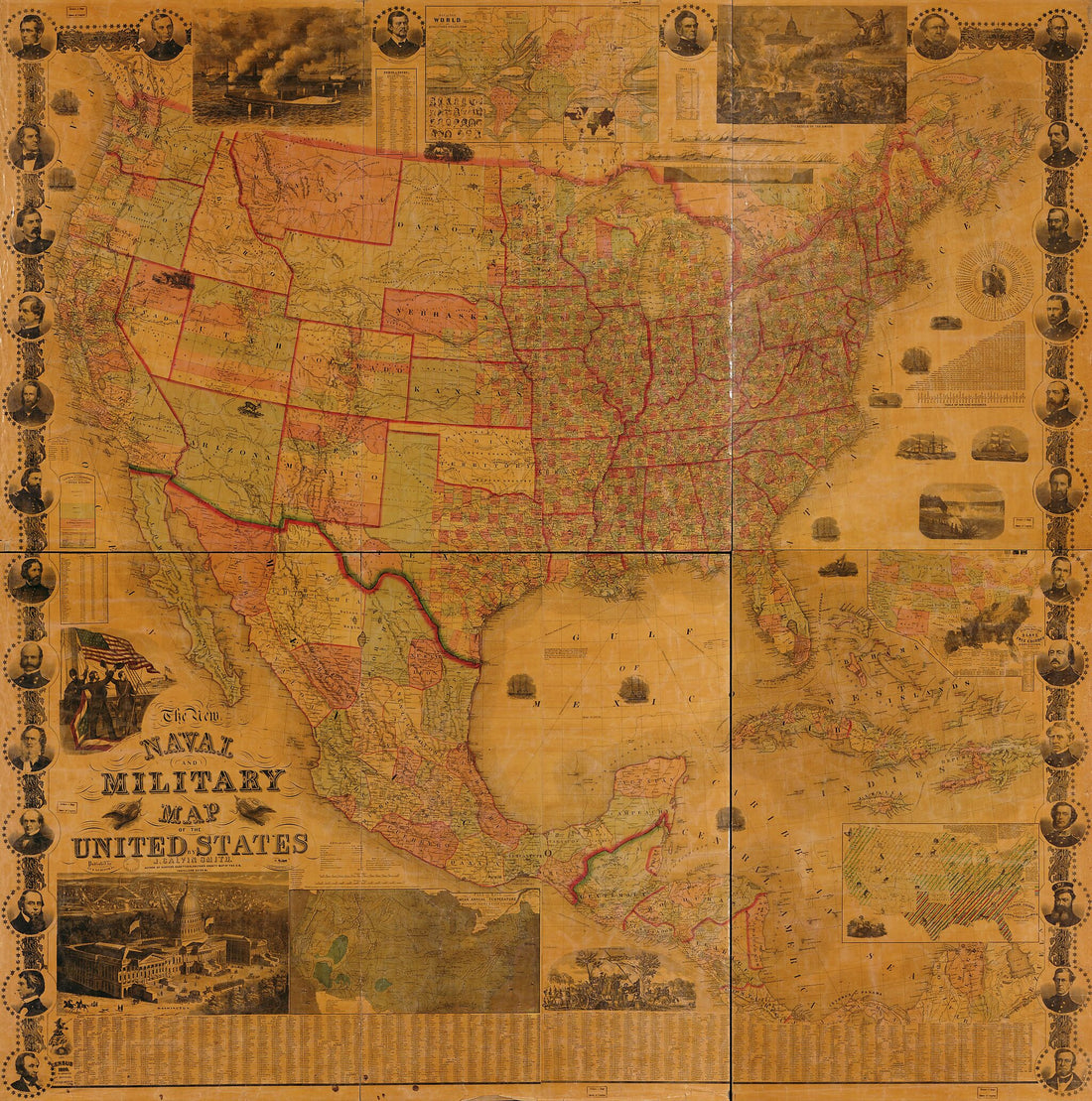 The New Naval and Military Map of the United States in 1862The New Naval and Military Map of the United States in 1862
- Regular price
-
$39.95 $197.95 - Regular price
-
$34.95 - Sale price
-
$39.95 $197.95
-
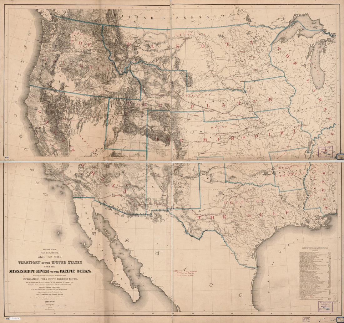 Map of the Territory of the United States From the Mississippi River to the Pacific Ocean; Originally Prepared to Accompany the Reports of the Explorations for a Pacific Railroad Route in 1867Map of the Territory of the United States From the Mississippi River to the Pacific Ocean; Originally Prepared to Accompany the Reports of the Explorations for a Pacific Railroad Route in 1867
- Regular price
-
$39.95 $201.95 - Regular price
-
$34.95 - Sale price
-
$39.95 $201.95
-
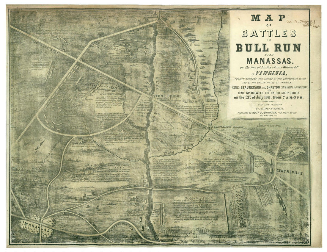 Map of Battles On Bull Run Near Manassas, 21st of July 1861 On the Line of Fairfax & Prince William Counties In Virginia, Fought Between the Forces of the Confederate States and of the United States of AmericaMap of Battles On Bull Run Near Manassas, 21st of July 1861 On the Line of Fairfax & Prince William Counties In Virginia, Fought Between the Forces of the Confederate States and of the United States of America
- Regular price
-
$43.95 $218.95 - Regular price
-
$32.95 - Sale price
-
$43.95 $218.95
-
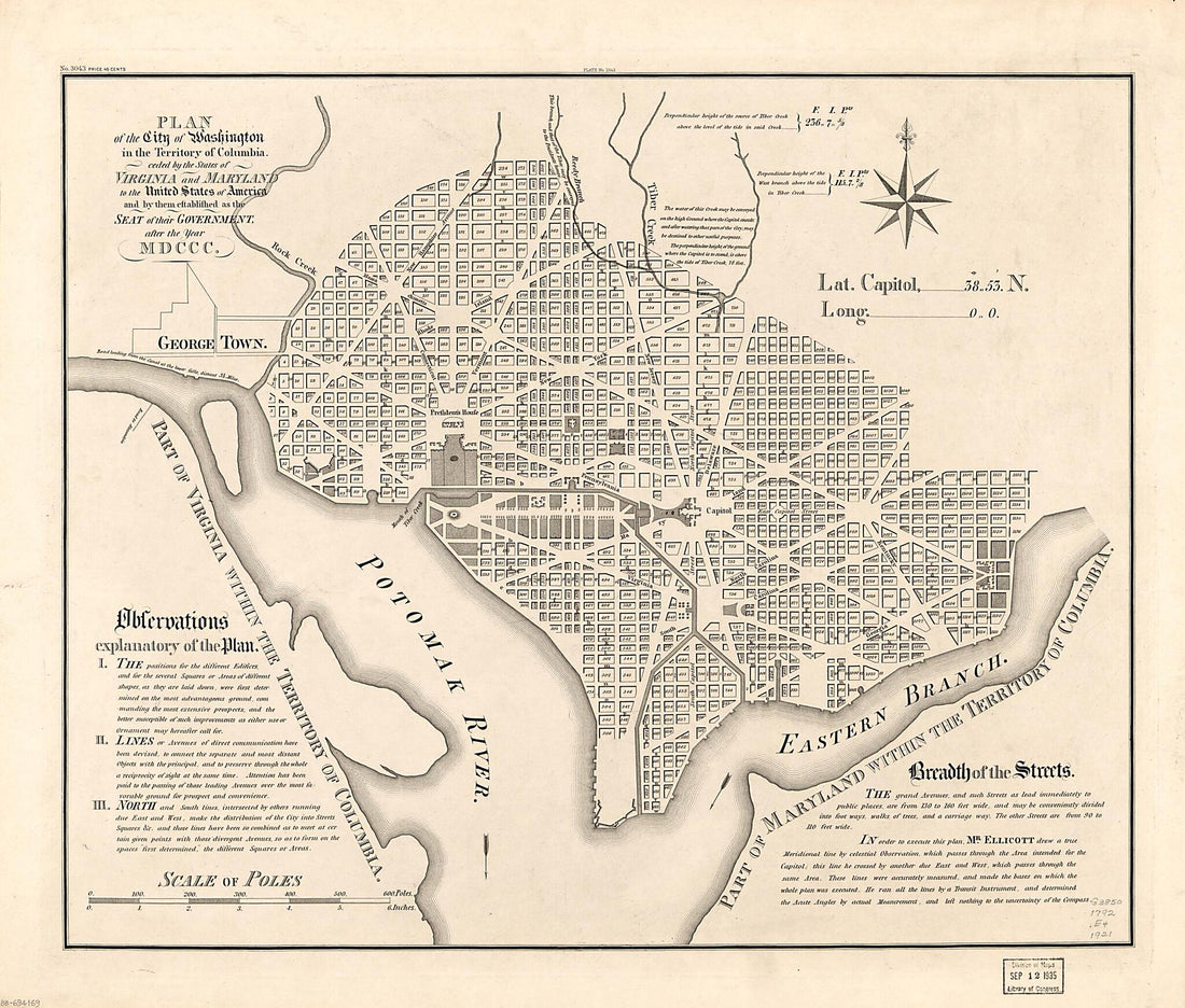 Plan of the City of Washington In the Territory of Columbia : Ceded by the States of Virginia and Maryland to the United States of America, and by Them Established As the Seat of Their Government, After the Year MDCCC 1792Plan of the City of Washington In the Territory of Columbia : Ceded by the States of Virginia and Maryland to the United States of America, and by Them Established As the Seat of Their Government, After the Year MDCCC 1792
- Regular price
-
$39.95 $103.95 - Regular price
-
$34.95 - Sale price
-
$39.95 $103.95
-
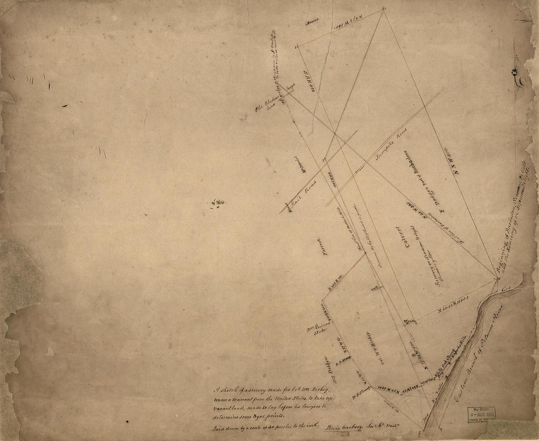 A Sketch of a Survey Made for Col. W'm Hickey, Under a Warrant from the United States, to Take Up Vacant Land : Made to Lay Before His Lawyers to Determine Some Legal Points : part of Washington D.C. Adjacent to the Anacostia River 1840A Sketch of a Survey Made for Col. W'm Hickey, Under a Warrant from the United States, to Take Up Vacant Land : Made to Lay Before His Lawyers to Determine Some Legal Points : part of Washington D.C. Adjacent to the Anacostia River 1840
- Regular price
-
$39.95 $101.95 - Regular price
-
$34.95 - Sale price
-
$39.95 $101.95
-
 New Railway Map of the United States in 1867New Railway Map of the United States in 1867
- Regular price
-
$39.95 $198.95 - Regular price
-
$34.95 - Sale price
-
$39.95 $198.95
-
 The Washington Map of the United States in 1863The Washington Map of the United States in 1863
- Regular price
-
$39.95 $198.95 - Regular price
-
$34.95 - Sale price
-
$39.95 $198.95
-
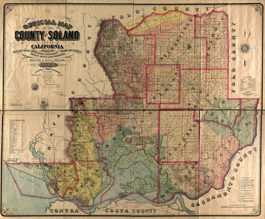 Official Map of the County of Solano, California : Showing Mexican Grants, United States Government and Swamp Land Surveys, Present Private Land Ownerships, Roads and Railroads in 1890Official Map of the County of Solano, California : Showing Mexican Grants, United States Government and Swamp Land Surveys, Present Private Land Ownerships, Roads and Railroads in 1890
- Regular price
-
$39.95 $217.95 - Regular price
-
$34.95 - Sale price
-
$39.95 $217.95
-
 Disturnell's New Map of the United States and Canada 1850Disturnell's New Map of the United States and Canada 1850
- Regular price
-
$39.95 $83.95 - Regular price
-
$34.95 - Sale price
-
$39.95 $83.95
-
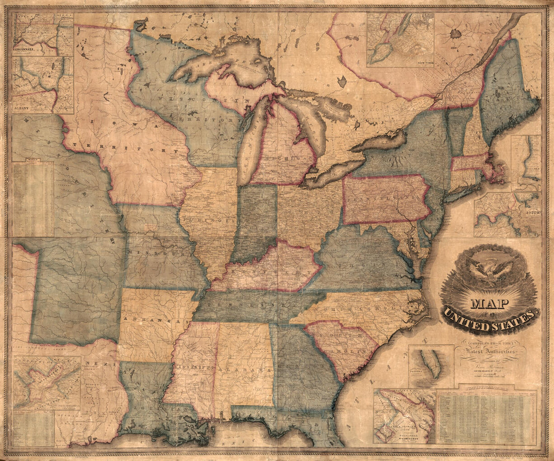 Map of the United States : Compiled From the Latest Authorities in 1842Map of the United States : Compiled From the Latest Authorities in 1842
- Regular price
-
$39.95 $183.95 - Regular price
-
$34.95 - Sale price
-
$39.95 $183.95
-
 United States: Map Showing Loyal States In Green, What the Rebels Still Hold In Red, and What the Union Soldiers Have Wrested from Them In Yellow 1864United States: Map Showing Loyal States In Green, What the Rebels Still Hold In Red, and What the Union Soldiers Have Wrested from Them In Yellow 1864
- Regular price
-
$43.95 $105.95 - Regular price
-
$32.95 - Sale price
-
$43.95 $105.95
-
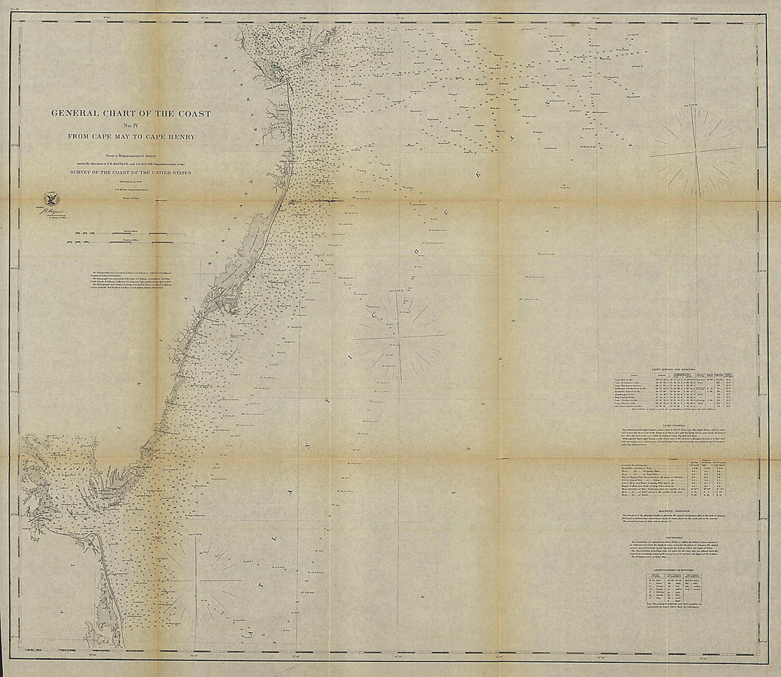 General Chart of the Coast. No. IV, from Cape May to Cape Henry. from a Trigonometrical Survey Under the Direction of F. R. Hassler and A. D. Bache, Superintendents of the Survey of the Coast of the United States 1862General Chart of the Coast. No. IV, from Cape May to Cape Henry. from a Trigonometrical Survey Under the Direction of F. R. Hassler and A. D. Bache, Superintendents of the Survey of the Coast of the United States 1862
- Regular price
-
$39.95 $204.95 - Regular price
-
$34.95 - Sale price
-
$39.95 $204.95


