4782 products
-
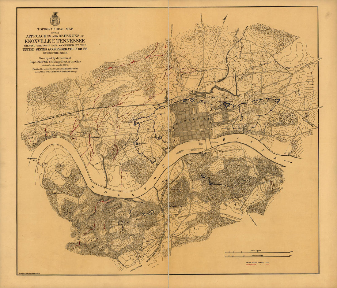 Topographical Map of the Approaches and Defences of Knoxville, E. Tennessee, Shewing the Positions Occupied by the United States & Confederate Forces During the Siege 1864Topographical Map of the Approaches and Defences of Knoxville, E. Tennessee, Shewing the Positions Occupied by the United States & Confederate Forces During the Siege 1864
- Regular price
-
$39.95 $214.95 - Regular price
-
$34.95 - Sale price
-
$39.95 $214.95
-
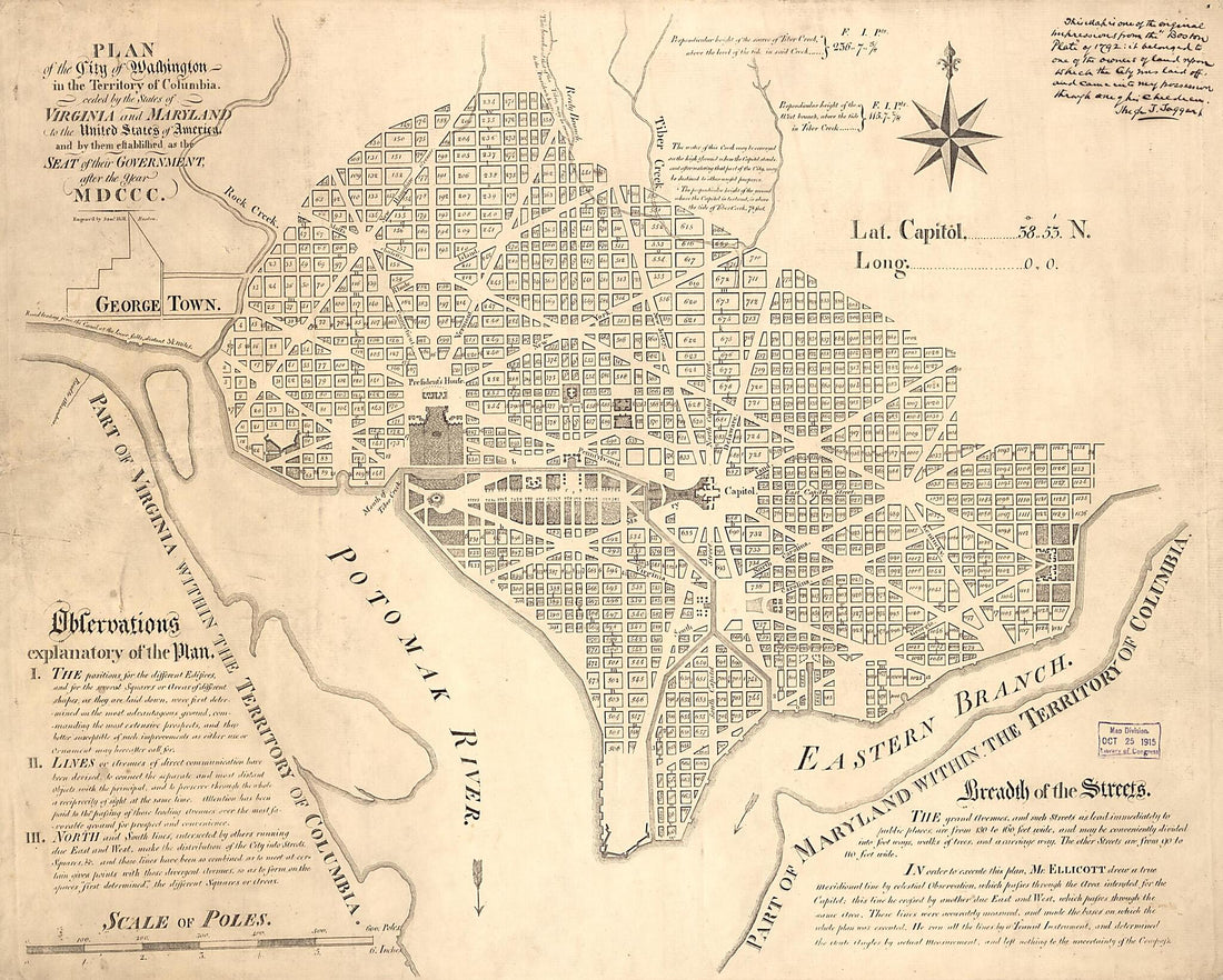 Plan of the City of Washington In the Territory of Columbia : Ceded by the States of Virginia and Maryland to the United States of America, and by Them Established As the Seat of Their Government, After the Year MDCCC 1792Plan of the City of Washington In the Territory of Columbia : Ceded by the States of Virginia and Maryland to the United States of America, and by Them Established As the Seat of Their Government, After the Year MDCCC 1792
- Regular price
-
$39.95 $139.95 - Regular price
-
$34.95 - Sale price
-
$39.95 $139.95
-
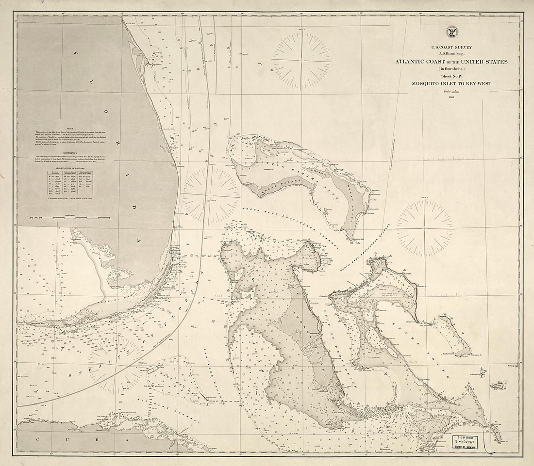 Atlantic Coast of the United States (in Four Sheets) : Sheet No. IV, Mosquito Inlet to Key West 1863Atlantic Coast of the United States (in Four Sheets) : Sheet No. IV, Mosquito Inlet to Key West 1863
- Regular price
-
$39.95 $126.95 - Regular price
-
$34.95 - Sale price
-
$39.95 $126.95
-
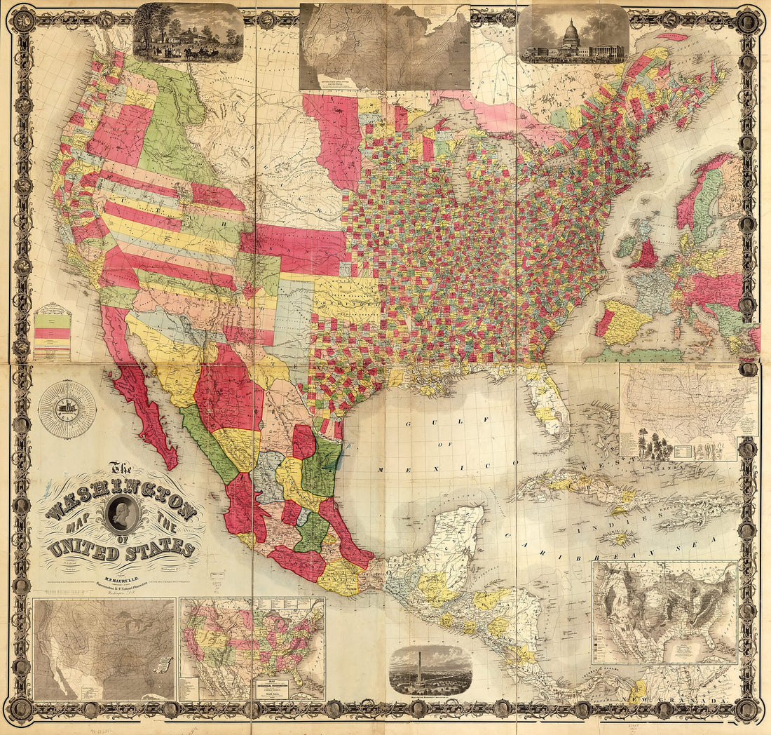 The Washington Map of the United States in 1860The Washington Map of the United States in 1860
- Regular price
-
$46.95 $211.95 - Regular price
-
$41.95 - Sale price
-
$46.95 $211.95
-
 Highways Through the Great Oil, Gas, Mining, Industrial & Agricultural Areas of the United States 1923Highways Through the Great Oil, Gas, Mining, Industrial & Agricultural Areas of the United States 1923
- Regular price
-
$39.95 $118.95 - Regular price
-
$34.95 - Sale price
-
$39.95 $118.95
-
 A New Map of the United States With the Additional Territories : On an Improved Plan, Exhibiting a View of the Rocky Mountains Surveyed by a Company of Winebago i.e. Winnebago Indians In 1828A New Map of the United States With the Additional Territories : On an Improved Plan, Exhibiting a View of the Rocky Mountains Surveyed by a Company of Winebago i.e. Winnebago Indians In 1828
- Regular price
-
$39.95 $83.95 - Regular price
-
$29.95 - Sale price
-
$39.95 $83.95
-
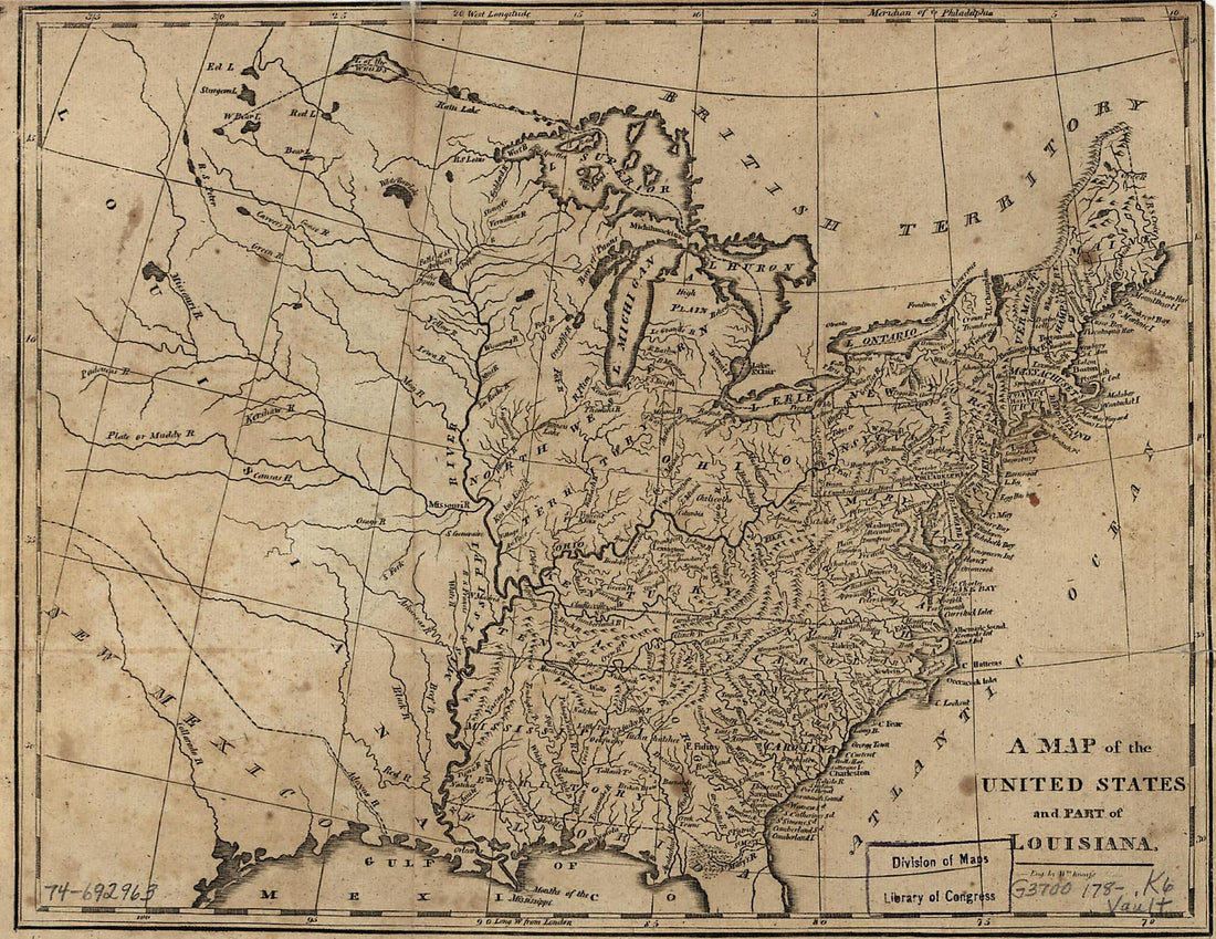 A Map of the United States and Part of Louisiana 1780A Map of the United States and Part of Louisiana 1780
- Regular price
-
$39.95 $88.95 - Regular price
-
$29.95 - Sale price
-
$39.95 $88.95
-
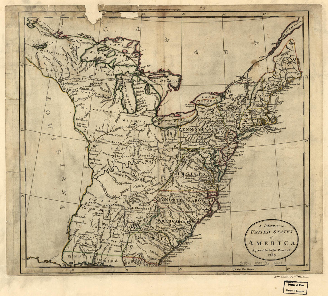 A Map of the United States of America Agreeable to the Peace of 1783A Map of the United States of America Agreeable to the Peace of 1783
- Regular price
-
$39.95 $83.95 - Regular price
-
$29.95 - Sale price
-
$39.95 $83.95
-
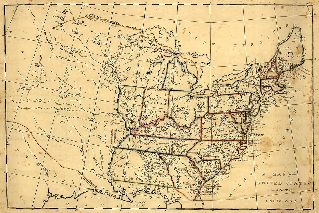 A Map of the United States and Part of Louisiana 1830A Map of the United States and Part of Louisiana 1830
- Regular price
-
$43.95 $99.95 - Regular price
-
$31.95 - Sale price
-
$43.95 $99.95
-
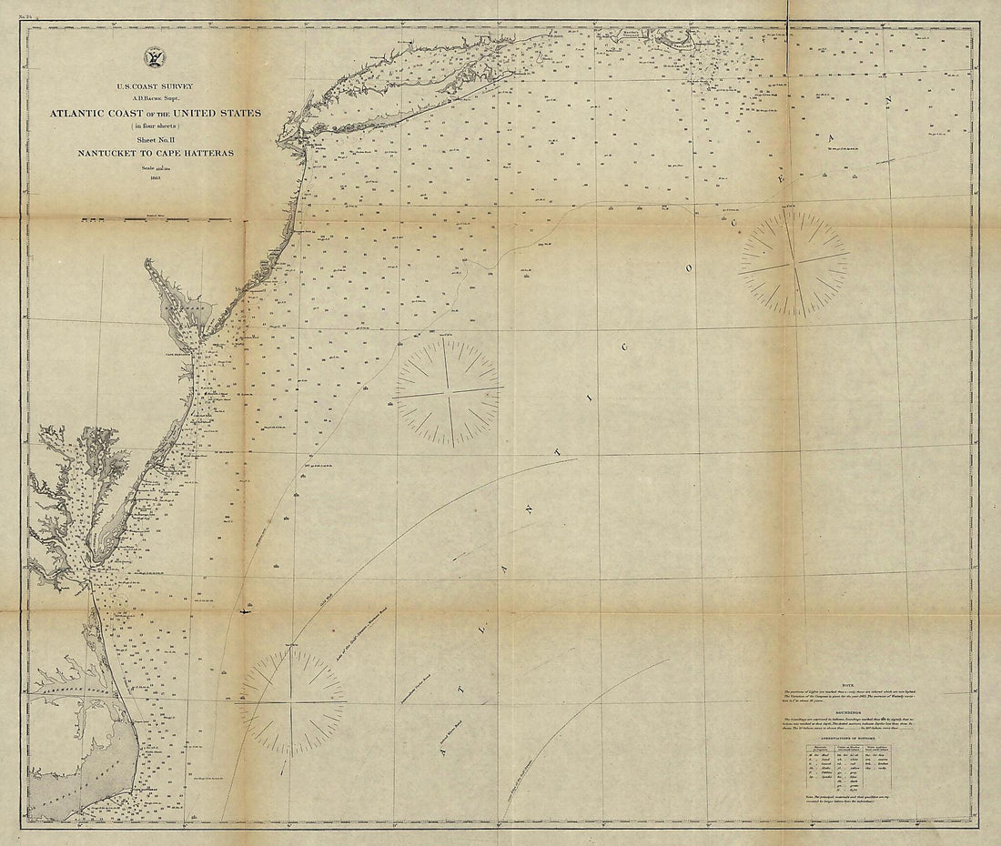 Atlantic Coast of the United States (in Four Sheets), Sheet No. II, Nantucket to Cape Hatteras 1863Atlantic Coast of the United States (in Four Sheets), Sheet No. II, Nantucket to Cape Hatteras 1863
- Regular price
-
$39.95 $157.95 - Regular price
-
$34.95 - Sale price
-
$39.95 $157.95
-
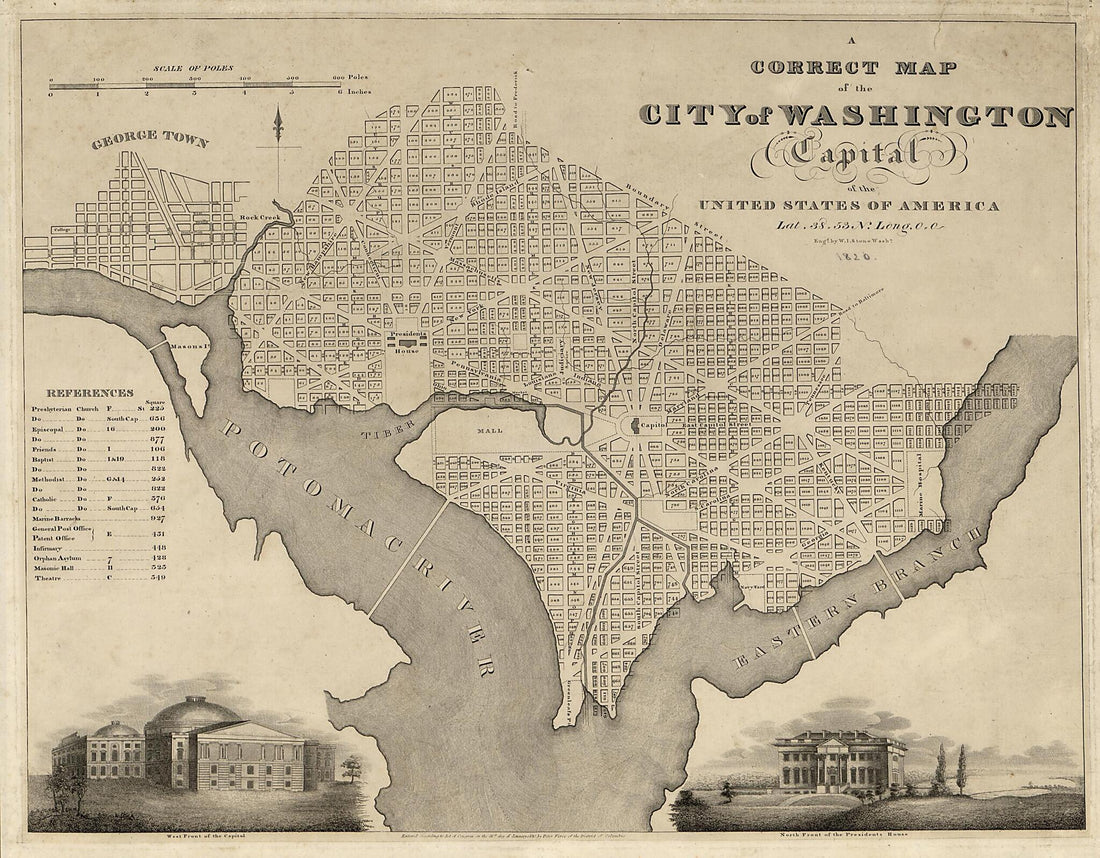 A Correct Map of the City of Washington : Capital of the United States of America : Lat. 38.53 N., Long. 0.0 1820A Correct Map of the City of Washington : Capital of the United States of America : Lat. 38.53 N., Long. 0.0 1820
- Regular price
-
$39.95 $86.95 - Regular price
-
$34.95 - Sale price
-
$39.95 $86.95
-
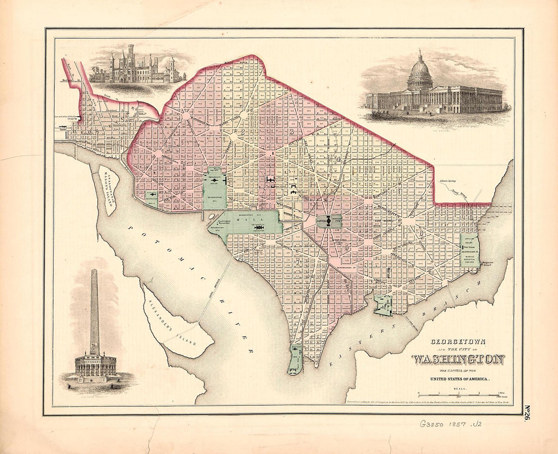 Georgetown and the City of Washington : the Capital of the United States of America 1857Georgetown and the City of Washington : the Capital of the United States of America 1857
- Regular price
-
$39.95 $83.95 - Regular price
-
$29.95 - Sale price
-
$39.95 $83.95


