598 products
-
Map of Washington City, District of Columbia, Seat of the Federal Government : Respectfully Dedicated to the Senate and the House of Representatives of the United States of North America 1857
 Map of Washington City, District of Columbia, Seat of the Federal Government : Respectfully Dedicated to the Senate and the House of Representatives of the United States of North America 1857
- Regular price
-
From
$34.95 - Regular price
-
$49.99 - Sale price
-
From
$34.95
-
A Map of the United States : Compiled Chiefly from the State Maps and Other Authentic Information 1809
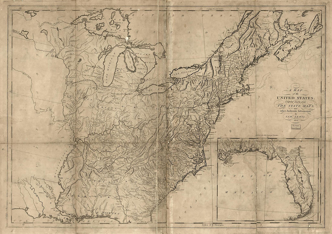 A Map of the United States : Compiled Chiefly from the State Maps and Other Authentic Information 1809
- Regular price
-
From
$41.95 - Regular price
-
$66.99 - Sale price
-
From
$41.95
-
Map of the Parish of Carroll, Louisiana : from the United States Surveys 1860
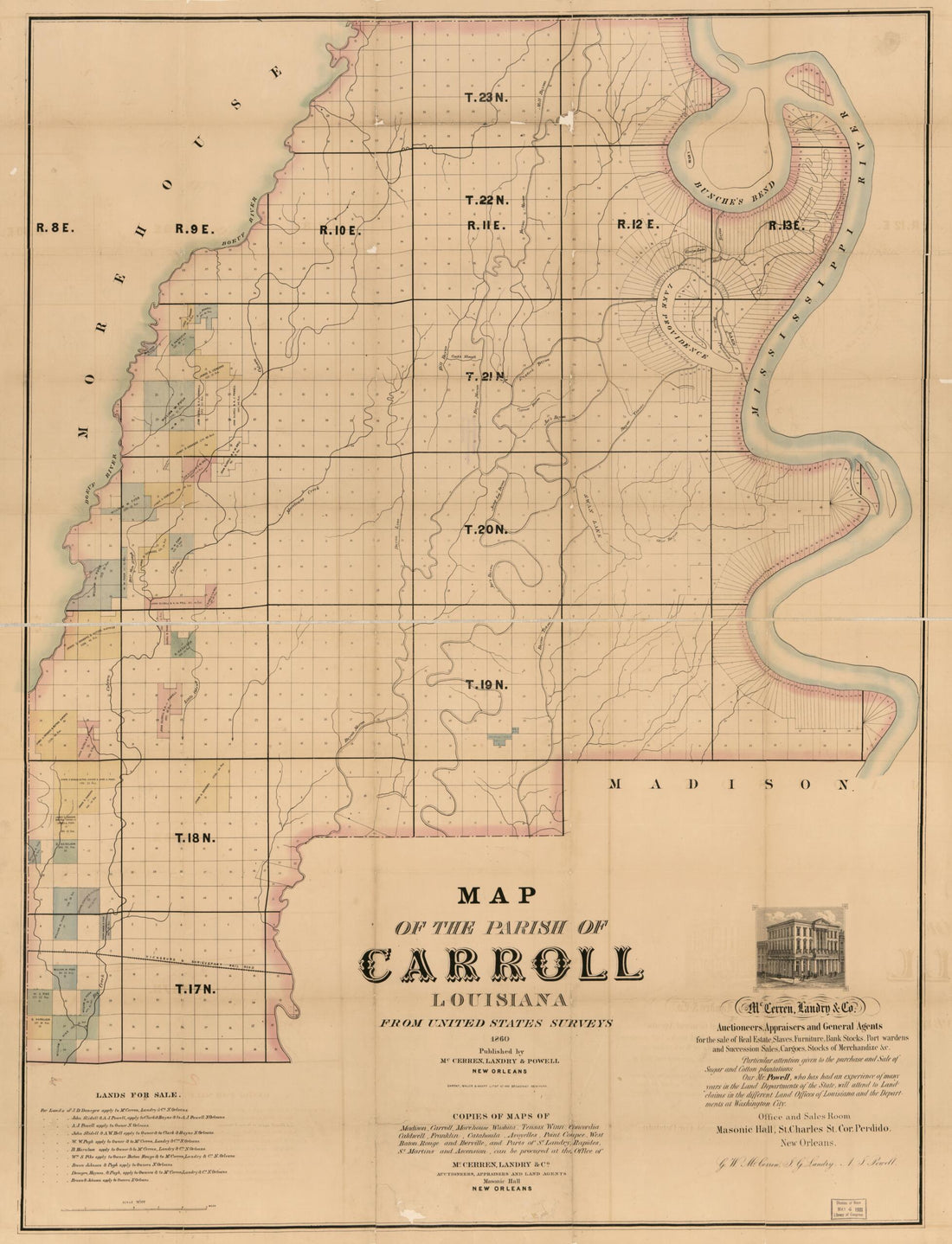 Map of the Parish of Carroll, Louisiana : from the United States Surveys 1860
- Regular price
-
From
$32.95 - Regular price
-
$51.99 - Sale price
-
From
$32.95
-
Map of the Railroads and Canals, Finished, Unfinished, and In Contemplation, In the United States (Rail Road Map) 1834
 Map of the Railroads and Canals, Finished, Unfinished, and In Contemplation, In the United States (Rail Road Map) 1834
- Regular price
-
From
$41.95 - Regular price
-
$66.99 - Sale price
-
From
$41.95
-
Colton's Georgetown and the City of Washington : the Capital of the United States of America ; Colton's Map Showing Part of Virginia, Maryland, Pennsylvania, New Jersey & New York 1855
 Colton's Georgetown and the City of Washington : the Capital of the United States of America ; Colton's Map Showing Part of Virginia, Maryland, Pennsylvania, New Jersey & New York 1855
- Regular price
-
From
$41.95 - Regular price
-
$66.99 - Sale price
-
From
$41.95
-
Map of the United States of America Showing the Boundaries of the Union and Confederate Geographical Divisions and Departments, June 30, 1861 1905
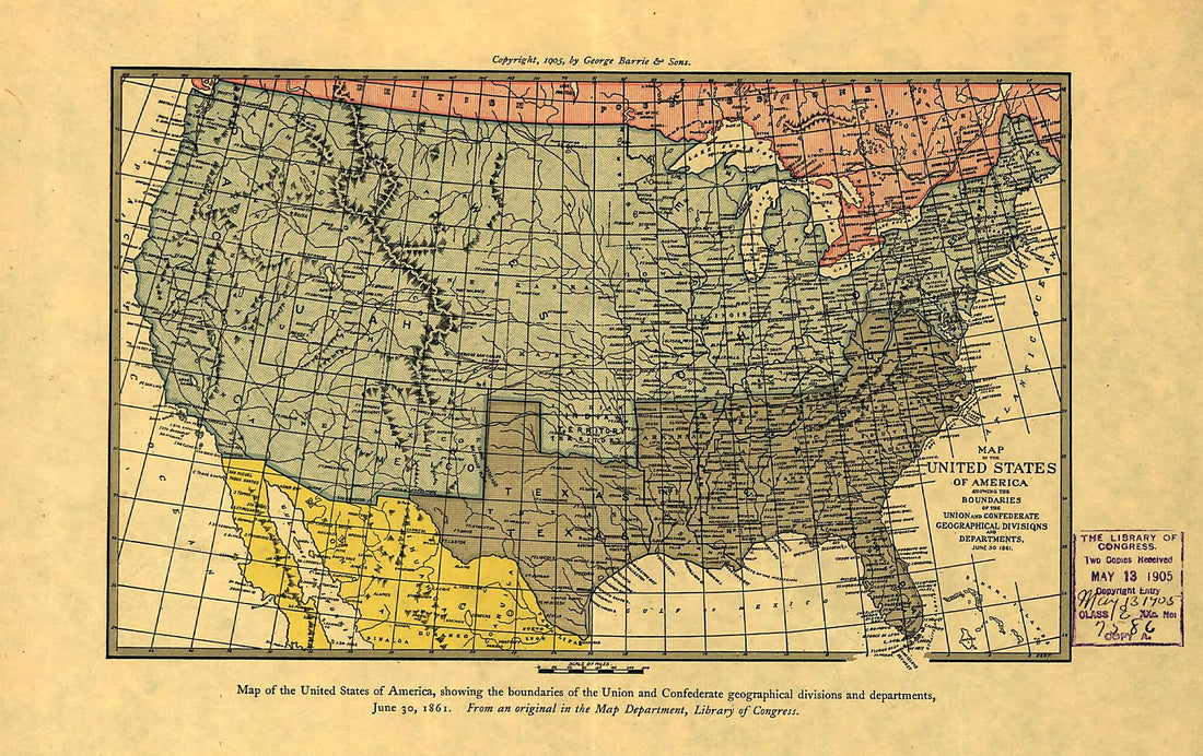 Map of the United States of America Showing the Boundaries of the Union and Confederate Geographical Divisions and Departments, June 30, 1861 1905
- Regular price
-
From
$19.95 - Regular price
-
$29.95 - Sale price
-
From
$19.95
-
Map of the United States Including Louisiana 1818
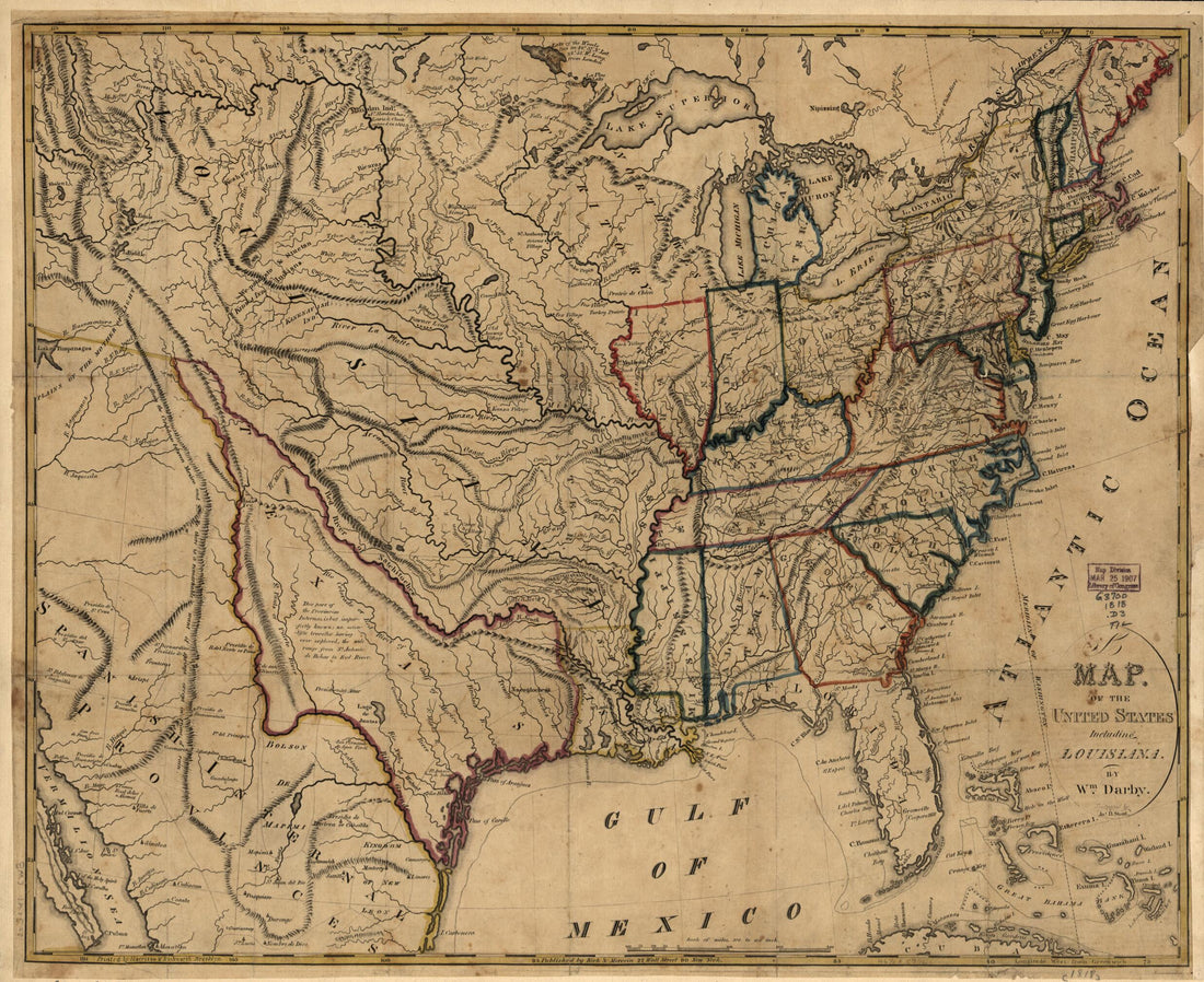 Map of the United States Including Louisiana 1818
- Regular price
-
From
$33.95 - Regular price
-
$49.99 - Sale price
-
From
$33.95
-
Mississippi of the United States During the Period of the American Fur Trade As Conducted from St. Louis Between the Years 1807 and 1843 1902
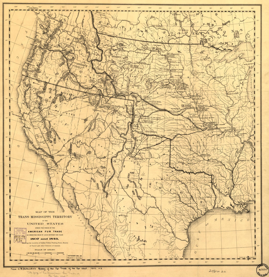 Mississippi of the United States During the Period of the American Fur Trade As Conducted from St. Louis Between the Years 1807 and 1843 1902
- Regular price
-
From
$34.95 - Regular price
-
$49.99 - Sale price
-
From
$34.95
-
Map of the United States of America : With the Contiguous British and Spanish Possessions 1819
 Map of the United States of America : With the Contiguous British and Spanish Possessions 1819
- Regular price
-
From
$41.95 - Regular price
-
$66.99 - Sale price
-
From
$41.95
-
The United States of North America, With the British & Spanish Territories According to the Treaty of 1784 1785
 The United States of North America, With the British & Spanish Territories According to the Treaty of 1784 1785
- Regular price
-
From
$34.95 - Regular price
-
$49.99 - Sale price
-
From
$34.95
-
Plan of the City of Washington : Seat of Government of the United States 1822
 Plan of the City of Washington : Seat of Government of the United States 1822
- Regular price
-
From
$34.95 - Regular price
-
$49.99 - Sale price
-
From
$34.95
-
Atlantic Coast of the United States (in Four Sheets) : Sheet No. IV, Mosquito Inlet to Key West 1863
 Atlantic Coast of the United States (in Four Sheets) : Sheet No. IV, Mosquito Inlet to Key West 1863
- Regular price
-
From
$34.95 - Regular price
-
$49.99 - Sale price
-
From
$34.95


