

Quick links
25001 products
-
 Mappa Geographica Regionem Mexicanam Et Floridam : Terrasque Adjacentes, Ut Et Anteriores Americae Insulas Cursus Itedem Et Reditus Navigantium Versus Flumen Missisipi Et Alias Colonias Ob Oculas Ponens 1703Mappa Geographica Regionem Mexicanam Et Floridam : Terrasque Adjacentes, Ut Et Anteriores Americae Insulas Cursus Itedem Et Reditus Navigantium Versus Flumen Missisipi Et Alias Colonias Ob Oculas Ponens 1703
- Regular price
-
$49.95 $131.95 - Regular price
-
$34.95 - Sale price
-
$49.95 $131.95
-
 City of Syracuse 1868City of Syracuse 1868
- Regular price
-
$49.95 $318.95 - Regular price
-
$34.95 - Sale price
-
$49.95 $318.95
-
 Kentucky and Tennessee 1862Kentucky and Tennessee 1862
- Regular price
-
$51.95 $122.95 - Regular price
-
$32.95 - Sale price
-
$51.95 $122.95
-
 Map of Part of Fulton, Fayette, and Campbell Counties, from Surveys, State Map, and Information 1864Map of Part of Fulton, Fayette, and Campbell Counties, from Surveys, State Map, and Information 1864
- Regular price
-
$49.95 $83.95 - Regular price
-
$34.95 - Sale price
-
$49.95 $83.95
-
 North Western America, from Port Clarence to Mouth of Kvichpak sic River (Northwestern America, from Port Clarence to Mouth of Kvichpak sic River) 1864North Western America, from Port Clarence to Mouth of Kvichpak sic River (Northwestern America, from Port Clarence to Mouth of Kvichpak sic River) 1864
- Regular price
-
$51.95 $205.95 - Regular price
-
$32.95 - Sale price
-
$51.95 $205.95
-
 Map of the Former Territorial Limits of the Cherokee Nation Of Indians ; Map Showing the Territory Originally Assigned Cherokee Nation Of Indians 1884Map of the Former Territorial Limits of the Cherokee Nation Of Indians ; Map Showing the Territory Originally Assigned Cherokee Nation Of Indians 1884
- Regular price
-
$58.95 $151.95 - Regular price
-
$41.95 - Sale price
-
$58.95 $151.95
-
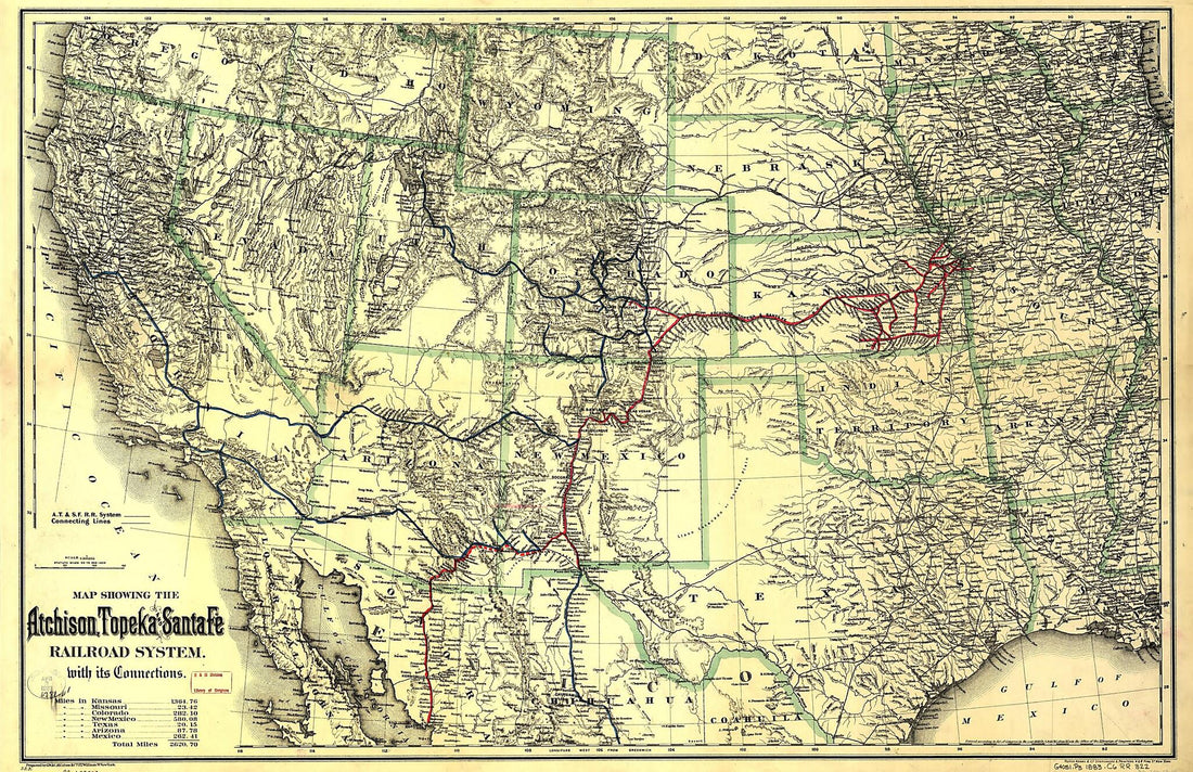 Map Showing the Atchison, Topeka and Santa Fé Railroad System, With Its Connections 1883Map Showing the Atchison, Topeka and Santa Fé Railroad System, With Its Connections 1883
- Regular price
-
$58.95 $172.95 - Regular price
-
$41.95 - Sale price
-
$58.95 $172.95
-
 Lewis and Clark Map, With Annotations In Brown Ink by Meriwether Lewis, Tracing Showing the Mississippi, the Missouri for a Short Distance Above Kansas, Lakes Michigan, Superior, and Winnipeg, and the Country Onwards to the Pacific 1803Lewis and Clark Map, With Annotations In Brown Ink by Meriwether Lewis, Tracing Showing the Mississippi, the Missouri for a Short Distance Above Kansas, Lakes Michigan, Superior, and Winnipeg, and the Country Onwards to the Pacific 1803
- Regular price
-
$58.95 $155.95 - Regular price
-
$41.95 - Sale price
-
$58.95 $155.95
-
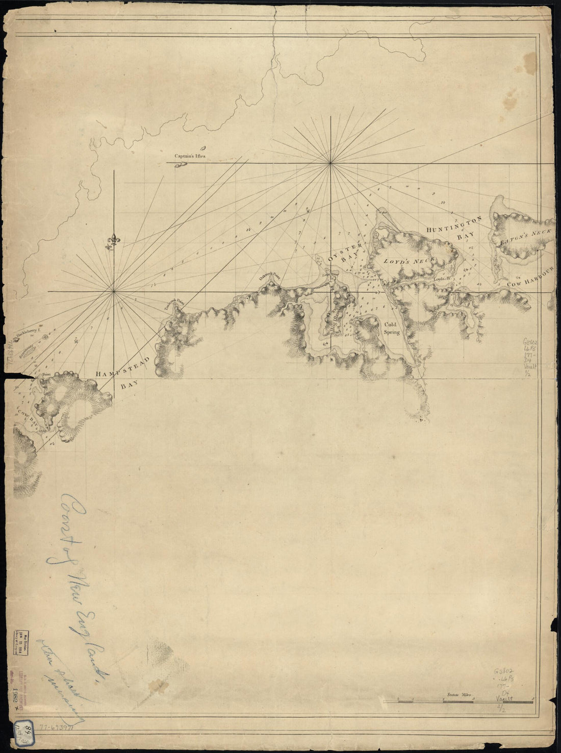 A Chart of New York Island & North River: East River, Passage Through Hell Gate, Flushing Bay, Hampstead Bay, Oyster, Huntington Bay, Cow Harbour, East Chester Inlet, Rochell, Rye, Patrick Islands, Ec 1770A Chart of New York Island & North River: East River, Passage Through Hell Gate, Flushing Bay, Hampstead Bay, Oyster, Huntington Bay, Cow Harbour, East Chester Inlet, Rochell, Rye, Patrick Islands, Ec 1770
- Regular price
-
$51.95 $88.95 - Regular price
-
$32.95 - Sale price
-
$51.95 $88.95
-
 Chart Showing the Depth of the James and York Rivers As They Enter Chesapeake Bay, With Towns Adjacent 1781Chart Showing the Depth of the James and York Rivers As They Enter Chesapeake Bay, With Towns Adjacent 1781
- Regular price
-
$49.95 $83.95 - Regular price
-
$29.95 - Sale price
-
$49.95 $83.95
-
 Map Showing the Location of Battle Fields of Virginia (Battle Fields of Virginia, Battlefields of Virginia) 1892Map Showing the Location of Battle Fields of Virginia (Battle Fields of Virginia, Battlefields of Virginia) 1892
- Regular price
-
$49.95 $83.95 - Regular price
-
$34.95 - Sale price
-
$49.95 $83.95
-
 Bacon's Topographical Map of the Seat of War In Virginia, Maryland and Pennsylvania 1863Bacon's Topographical Map of the Seat of War In Virginia, Maryland and Pennsylvania 1863
- Regular price
-
$51.95 $278.95 - Regular price
-
$32.95 - Sale price
-
$51.95 $278.95


