

Quick links
25001 products
-
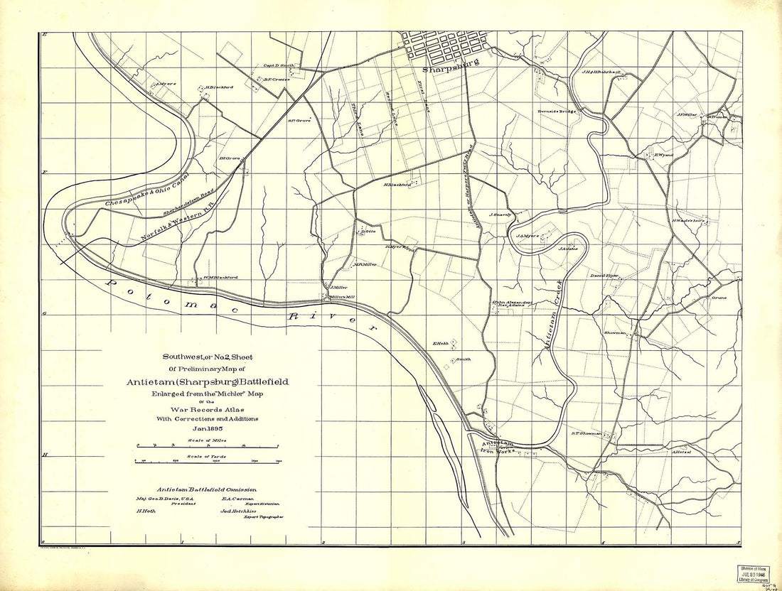 Southwest, Or No. 2, Sheet of Preliminary Map of Antietam (Sharpsburg) Battlefield. Enlarged From Michler Map of the War Records Atlas With Corrections and Additions in 1895"Southwest, Or No. 2, Sheet of Preliminary Map of Antietam (Sharpsburg) Battlefield. Enlarged From Michler Map of the War Records Atlas With Corrections and Additions in 1895"
- Regular price
-
$51.95 $199.95 - Regular price
-
$32.95 - Sale price
-
$51.95 $199.95
-
 Haven Rail Road With Its Branches and Extension to Ashland; Surveyed and Drawn by Henry W. Poole, Civl. Topl. Ming. Engr. Pottsville, Pennsylvania Dec. in 1854, to Accompany the Report to the StockholdersHaven Rail Road With Its Branches and Extension to Ashland; Surveyed and Drawn by Henry W. Poole, Civl. Topl. Ming. Engr. Pottsville, Pennsylvania Dec. in 1854, to Accompany the Report to the Stockholders
- Regular price
-
$49.95 $184.95 - Regular price
-
$34.95 - Sale price
-
$49.95 $184.95
-
 Map of Tiber Creek, from Its Mouth to the Extent of Tide Water : Washington D.C. 1800Map of Tiber Creek, from Its Mouth to the Extent of Tide Water : Washington D.C. 1800
- Regular price
-
$49.95 $99.95 - Regular price
-
$29.95 - Sale price
-
$49.95 $99.95
-
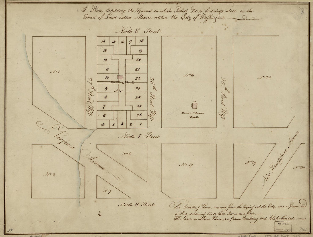 A Plan Exhibiting the Squares On Which Robert Peter's Buildings Stood On the Tract of Land Called Mexico, Within the City of Washington 1796A Plan Exhibiting the Squares On Which Robert Peter's Buildings Stood On the Tract of Land Called Mexico, Within the City of Washington 1796
- Regular price
-
$49.95 $88.95 - Regular price
-
$29.95 - Sale price
-
$49.95 $88.95
-
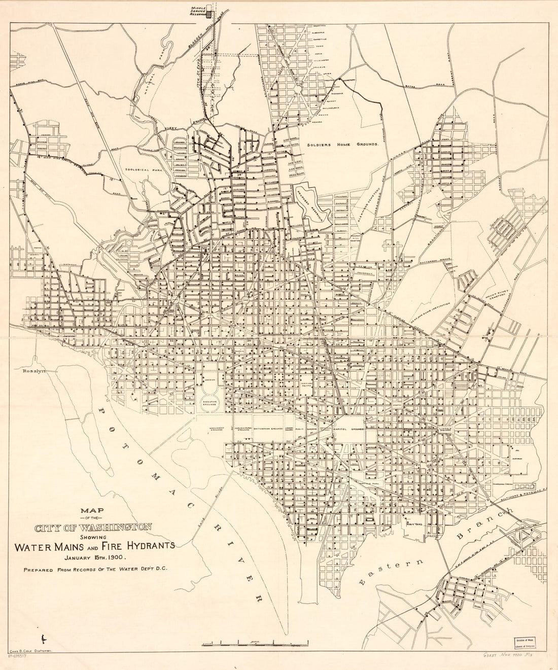 Map of the City of Washington Showing Water Mains and Fire Hydrants : January 15th in 1900Map of the City of Washington Showing Water Mains and Fire Hydrants : January 15th in 1900
- Regular price
-
$49.95 $102.95 - Regular price
-
$34.95 - Sale price
-
$49.95 $102.95
-
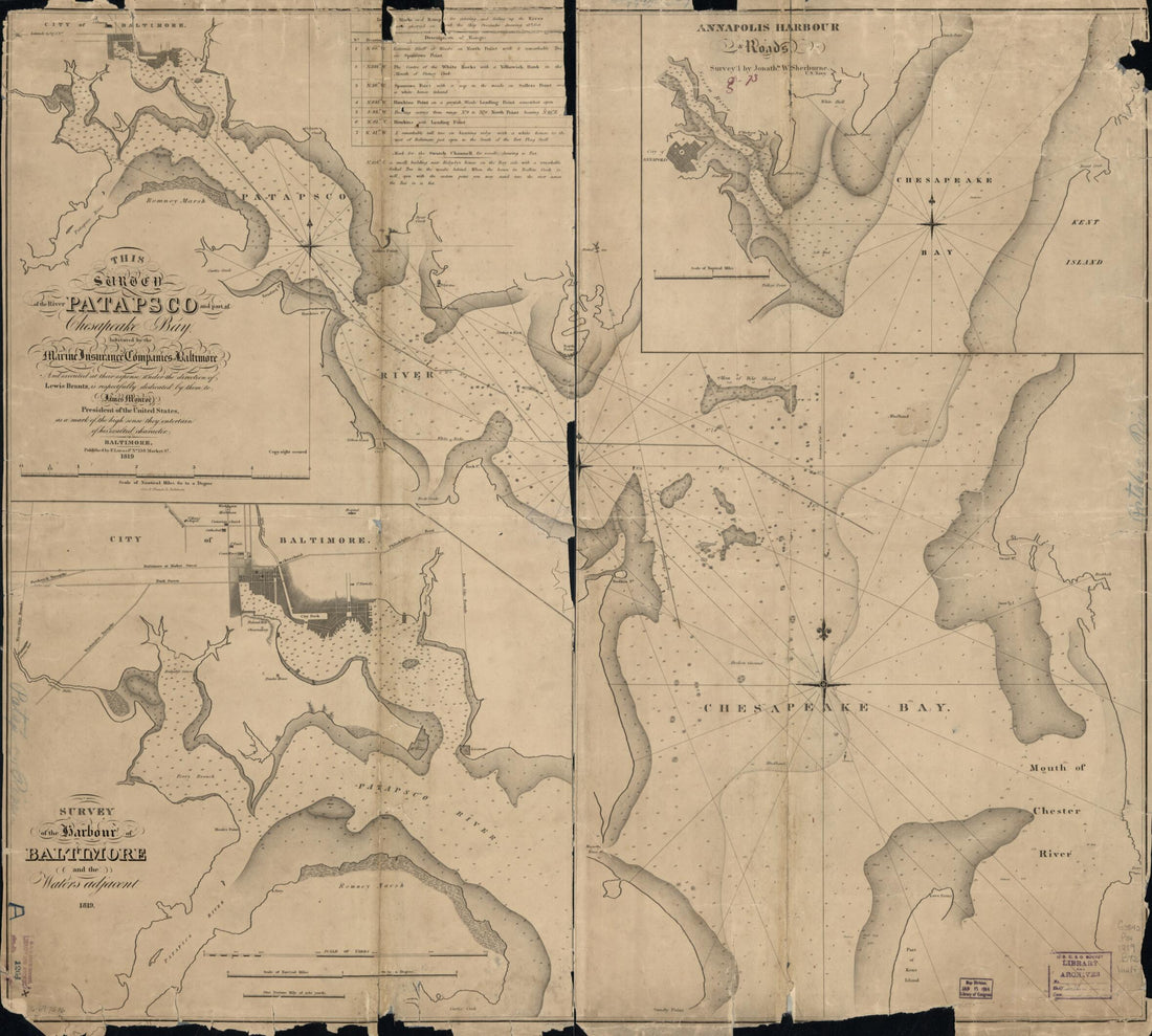 This Survey of the River Patapsco and Part of Chesapeake Bay in 1819This Survey of the River Patapsco and Part of Chesapeake Bay in 1819
- Regular price
-
$49.95 $117.95 - Regular price
-
$34.95 - Sale price
-
$49.95 $117.95
-
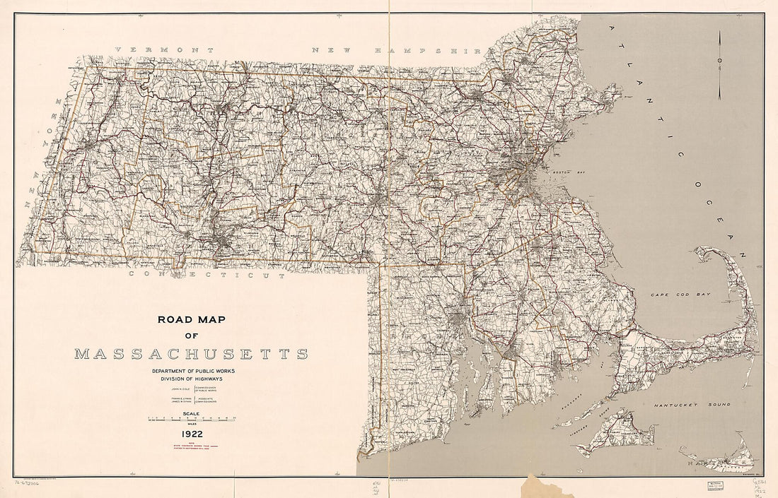 Road Map of Massachusetts in 1922Road Map of Massachusetts in 1922
- Regular price
-
$58.95 $302.95 - Regular price
-
$41.95 - Sale price
-
$58.95 $302.95
-
 Camp of the 196th Regt. O.V.I. Col. R. P. Kennedy Comdg. Stevensons Station Near Winchester, Va in 1860Camp of the 196th Regt. O.V.I. Col. R. P. Kennedy Comdg. Stevensons Station Near Winchester, Va in 1860
- Regular price
-
$49.95 $88.95 - Regular price
-
$34.95 - Sale price
-
$49.95 $88.95
-
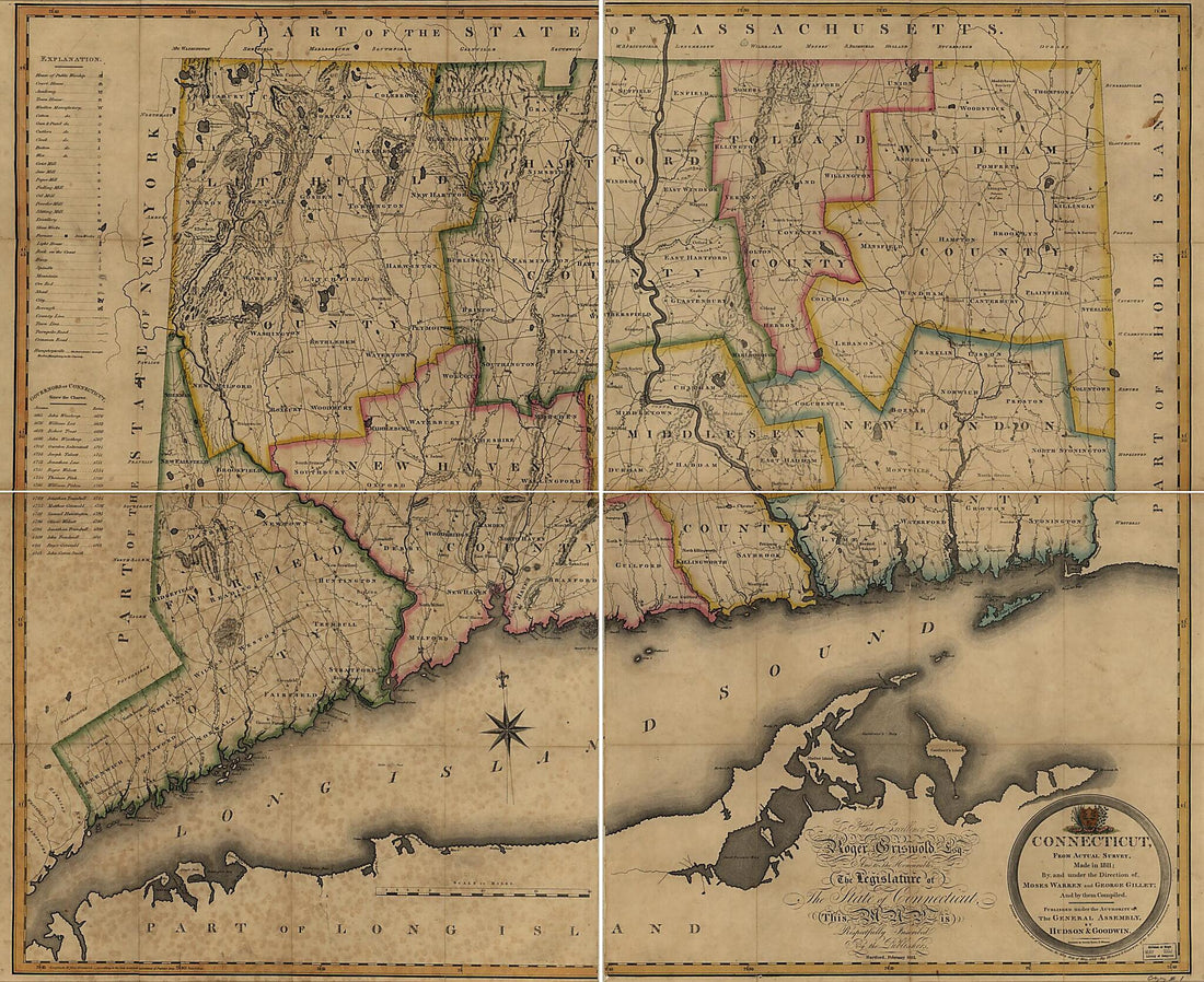 Connecticut, From Actual Survey in 1813Connecticut, From Actual Survey in 1813
- Regular price
-
$49.95 $224.95 - Regular price
-
$34.95 - Sale price
-
$49.95 $224.95
-
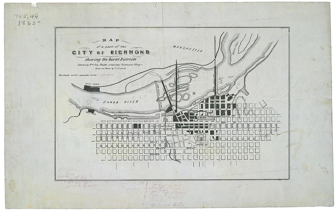 Map of a Part of the City of Richmond Showing the Burnt Districts in 1865Map of a Part of the City of Richmond Showing the Burnt Districts in 1865
- Regular price
-
$49.95 $99.95 - Regular price
-
$29.95 - Sale price
-
$49.95 $99.95
-
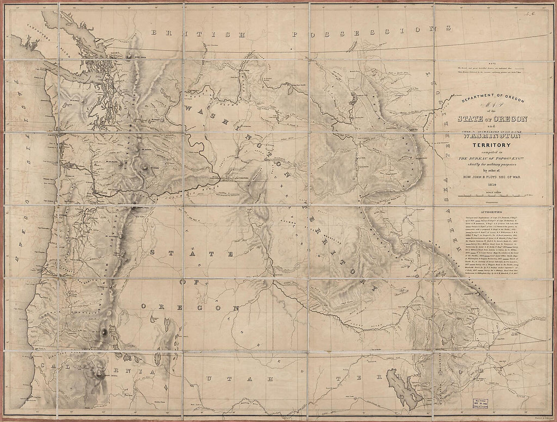 Map of the State of Oregon and Washington Territory in 1859Map of the State of Oregon and Washington Territory in 1859
- Regular price
-
$51.95 $226.95 - Regular price
-
$32.95 - Sale price
-
$51.95 $226.95
-
 Map of Spanish East and West Florida From Mobile Bay to Apalache Bay Bounded by the United States Boundary On the North in 1815Map of Spanish East and West Florida From Mobile Bay to Apalache Bay Bounded by the United States Boundary On the North in 1815
- Regular price
-
$58.95 $199.95 - Regular price
-
$41.95 - Sale price
-
$58.95 $199.95


