Quick links
13434 products
-
A New Chart of the River St. Lawrence from the Island of Anticosti to Quebec and Continued from Thence to Lake Ontario 1759
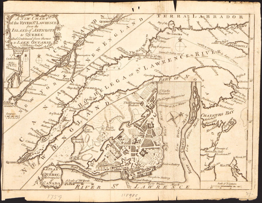 A New Chart of the River St. Lawrence from the Island of Anticosti to Quebec and Continued from Thence to Lake Ontario 1759
- Regular price
-
$19.95 $78.95 - Regular price
-
$13.99 - Sale price
-
$19.95 $78.95
-
A Series of Maps to Willard's History of the United States, Or, Republic of America. Designed for Schools and Private Libraries 1828
 A Series of Maps to Willard's History of the United States, Or, Republic of America. Designed for Schools and Private Libraries 1828
- Regular price
-
$19.95 $78.95 - Regular price
-
$10.99 - Sale price
-
$19.95 $78.95
-
Atlas of Plymouth County, Iowa : Containing Maps of Townships of the County, Maps of State, United States and World : Farmers Directory. (Atlas of Plymouth County and the World) 1921
 Atlas of Plymouth County, Iowa : Containing Maps of Townships of the County, Maps of State, United States and World : Farmers Directory. (Atlas of Plymouth County and the World) 1921
- Regular price
-
From
$41.95 - Regular price
-
$65.95 - Sale price
-
From
$41.95
-
Map of Cuming County, Nebraska 1901
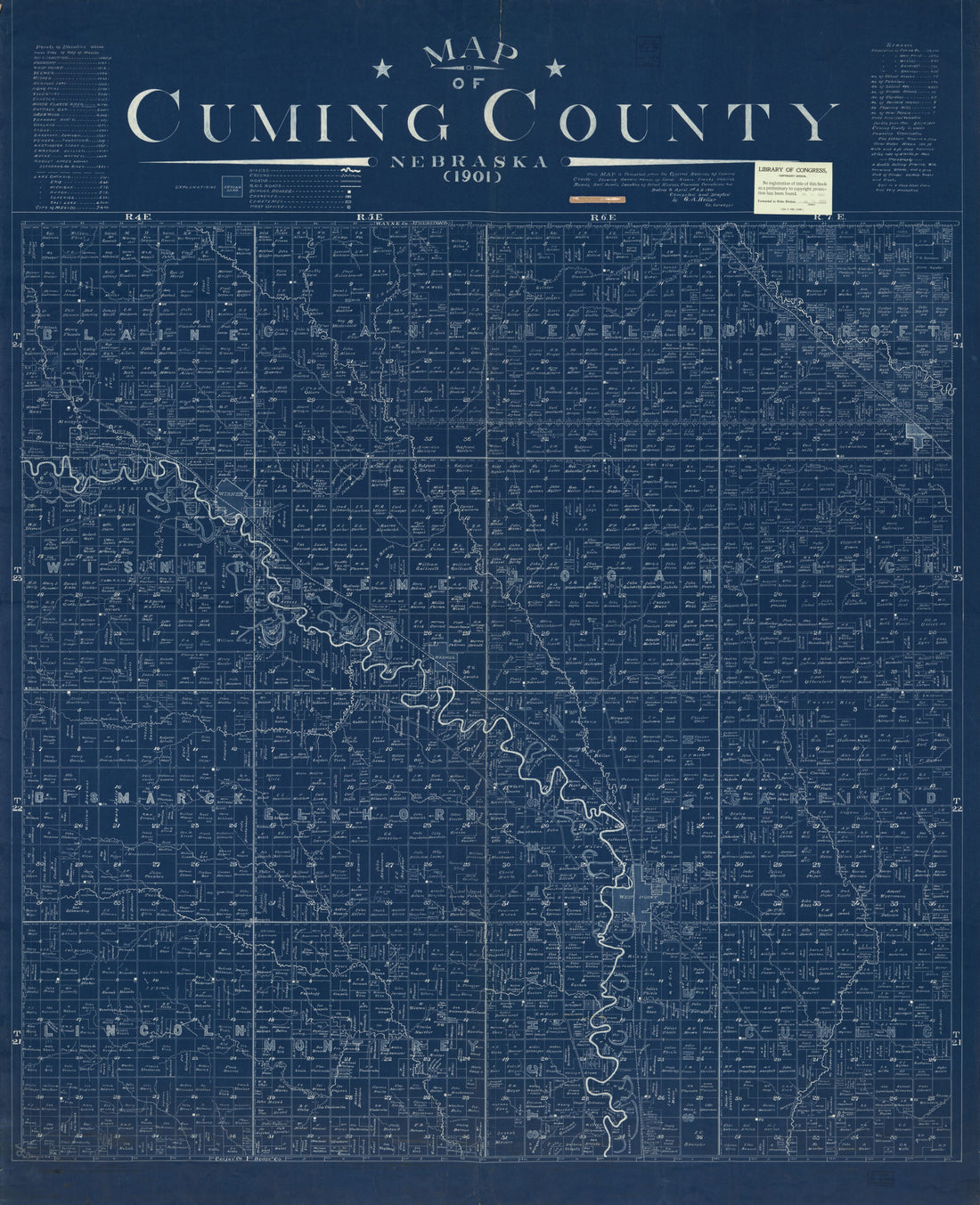 Map of Cuming County, Nebraska 1901
- Regular price
-
From
$34.95 - Regular price
-
$49.99 - Sale price
-
From
$34.95
-
Map of McHenry County, Illinois 1903
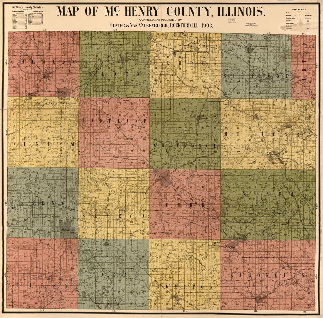 Map of McHenry County, Illinois 1903
- Regular price
-
From
$34.95 - Regular price
-
$49.99 - Sale price
-
From
$34.95
-
Map of Whiteside County, Illinois 1896
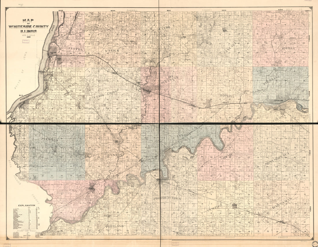 Map of Whiteside County, Illinois 1896
- Regular price
-
From
$34.95 - Regular price
-
$49.99 - Sale price
-
From
$34.95
-
Map of Maine : Constructed from the Most Correct Surveys With Sectional Distances and Elevations, Or Level, of the St. Croix River from Calais Bridge Deduced from the States Survey 1843
 Map of Maine : Constructed from the Most Correct Surveys With Sectional Distances and Elevations, Or Level, of the St. Croix River from Calais Bridge Deduced from the States Survey 1843
- Regular price
-
From
$41.95 - Regular price
-
$66.99 - Sale price
-
From
$41.95
-
Rand McNally & Co's Business Atlas : Containing Large Scale Maps of Each State and Territory of the United States, the Provinces of Canada, West India Islands, Etc., Etc., Together With a Complete Reference Map of the World ... Accompanied by a New an...
 Rand McNally & Co's Business Atlas : Containing Large Scale Maps of Each State and Territory of the United States, the Provinces of Canada, West India Islands, Etc., Etc., Together With a Complete Reference Map of the World ... Accompanied by a New an...
- Regular price
-
From
$19.95 - Regular price
-
$23.99 - Sale price
-
From
$19.95
-
Military Maps Illustrating the Operations of the Armies of the Potomac & James, May 4th 1864 to April 9th 1865 1869
 Military Maps Illustrating the Operations of the Armies of the Potomac & James, May 4th 1864 to April 9th 1865 1869
- Regular price
-
From
$32.95 - Regular price
-
$51.99 - Sale price
-
From
$32.95
-
The North American Indian In the World War 1925
 The North American Indian In the World War 1925
- Regular price
-
From
$34.95 - Regular price
-
$49.99 - Sale price
-
From
$34.95
-
Map of Douglas County, Nebraska 1909
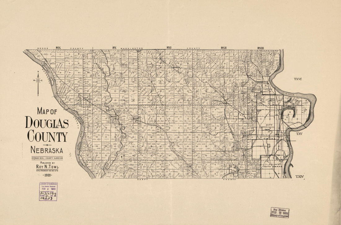 Map of Douglas County, Nebraska 1909
- Regular price
-
From
$25.95 - Regular price
-
$40.99 - Sale price
-
From
$25.95
-
Map of Louisiana Oil Fields 1919
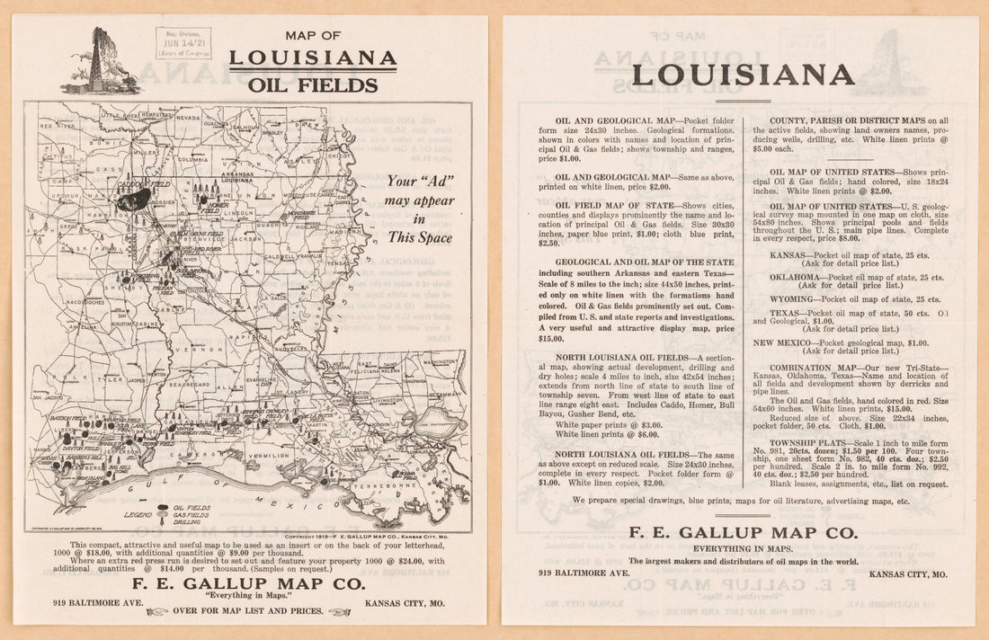 Map of Louisiana Oil Fields 1919
- Regular price
-
From
$21.95 - Regular price
-
$34.99 - Sale price
-
From
$21.95


