Quick links
13434 products
-
Map of the Vicinity of Washington, July, in 1861
 Map of the Vicinity of Washington, July, in 1861
- Regular price
-
From
$19.95 - Regular price
-
$29.95 - Sale price
-
From
$19.95
-
Plat of Proposed National Parks and Highway Connecting the Same Near Brightwood D.C 1900
 Plat of Proposed National Parks and Highway Connecting the Same Near Brightwood D.C 1900
- Regular price
-
From
$27.95 - Regular price
-
$42.95 - Sale price
-
From
$27.95
-
Coast of New Hampshire and Massachusetts From Great Boars Head to Marblehead Harbor in 1781
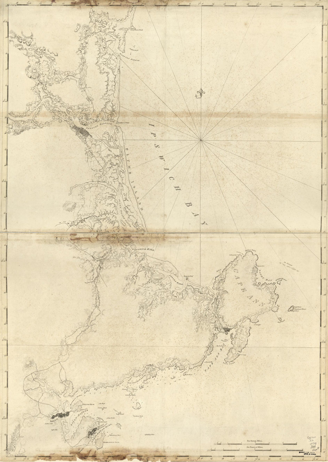 Coast of New Hampshire and Massachusetts From Great Boars Head to Marblehead Harbor in 1781
- Regular price
-
From
$32.95 - Regular price
-
$51.99 - Sale price
-
From
$32.95
-
Plano Y Costa De La Palisada O De Misipipi Zituada, Su Entrada O Cabo De Lodo En 29 Gs. 17 Ms. De Lattud. Norte Y En Longd. De 385 Gs. 3 Ms. Segun Tenerife 1751
 Plano Y Costa De La Palisada O De Misipipi Zituada, Su Entrada O Cabo De Lodo En 29 Gs. 17 Ms. De Lattud. Norte Y En Longd. De 385 Gs. 3 Ms. Segun Tenerife 1751
- Regular price
-
From
$41.95 - Regular price
-
$66.99 - Sale price
-
From
$41.95
-
To the American Philosophical Society, This Map of the Peninsula Between Delaware & Chesopeak Bays, With the Said Bays and Shores Adjacent Drawn From the Most Accurate Surveys Is Humbly Inscribed by John Churchman in 1786
 To the American Philosophical Society, This Map of the Peninsula Between Delaware & Chesopeak Bays, With the Said Bays and Shores Adjacent Drawn From the Most Accurate Surveys Is Humbly Inscribed by John Churchman in 1786
- Regular price
-
From
$34.95 - Regular price
-
$49.99 - Sale price
-
From
$34.95
-
A Plan of the Land Between Fort Mossy and St. Augustine In the Province of East Florida 1760
 A Plan of the Land Between Fort Mossy and St. Augustine In the Province of East Florida 1760
- Regular price
-
From
$23.95 - Regular price
-
$37.95 - Sale price
-
From
$23.95
-
Map of the Main Battlefields, Routes, Camps and Head Qrs., In the Gettysburg, Wilderness and Appomattox Campaigns of the Civil War In U.S in 1900
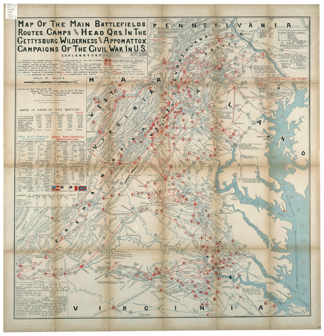 Map of the Main Battlefields, Routes, Camps and Head Qrs., In the Gettysburg, Wilderness and Appomattox Campaigns of the Civil War In U.S in 1900
- Regular price
-
From
$34.95 - Regular price
-
$49.99 - Sale price
-
From
$34.95
-
Map of Louisa County, Virginia 1863
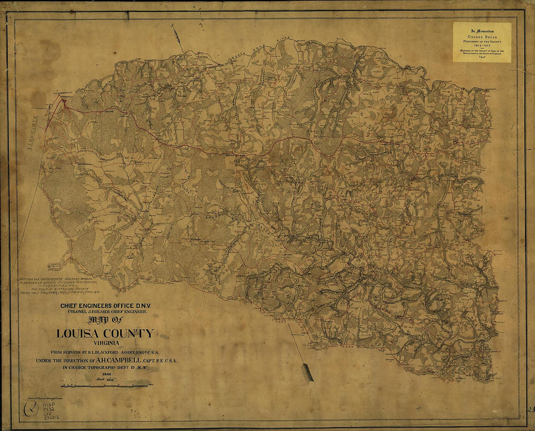 Map of Louisa County, Virginia 1863
- Regular price
-
From
$34.95 - Regular price
-
$49.99 - Sale price
-
From
$34.95
-
Geographical Sketch of the City of Richmond, Virginia, With Surrounding Encampments, 1862
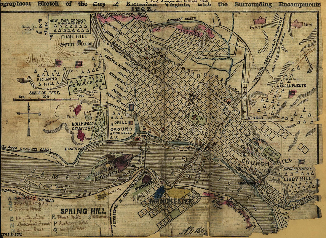 Geographical Sketch of the City of Richmond, Virginia, With Surrounding Encampments, 1862
- Regular price
-
From
$19.95 - Regular price
-
$29.95 - Sale price
-
From
$19.95
-
Carte Du Theatre De La Guerre Presente En Amerique in 1779
 Carte Du Theatre De La Guerre Presente En Amerique in 1779
- Regular price
-
From
$32.95 - Regular price
-
$51.99 - Sale price
-
From
$32.95
-
Map of Orange and Rockland Counties Area of New York in 1779
 Map of Orange and Rockland Counties Area of New York in 1779
- Regular price
-
From
$19.95 - Regular price
-
$29.95 - Sale price
-
From
$19.95
-
Plan De L'affaire De Westfield & Du Camp De Raway 1777
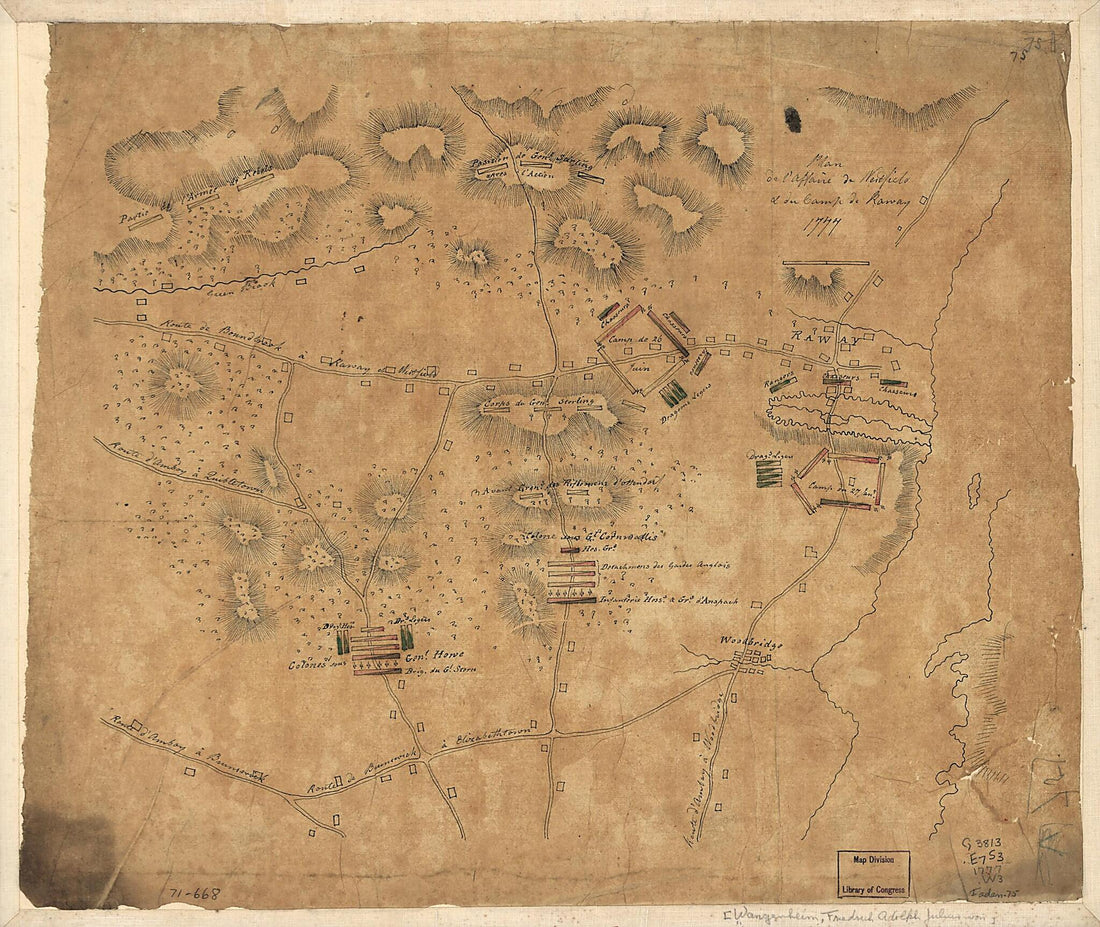 Plan De L'affaire De Westfield & Du Camp De Raway 1777
- Regular price
-
From
$23.95 - Regular price
-
$36.95 - Sale price
-
From
$23.95


