Quick links
13434 products
-
Map of Cumberland County, Virginia : Surveyed and Drawn Under Direction of Capt. A.H. Campbell Chf. Topogl. Dept. Div. No. Va 1864
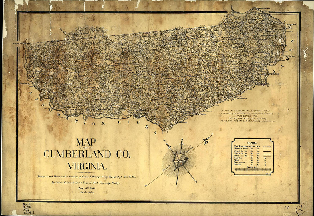 Map of Cumberland County, Virginia : Surveyed and Drawn Under Direction of Capt. A.H. Campbell Chf. Topogl. Dept. Div. No. Va 1864
- Regular price
-
From
$41.95 - Regular price
-
$66.99 - Sale price
-
From
$41.95
-
Boston, S. West Part. No. 25 1775
 Boston, S. West Part. No. 25 1775
- Regular price
-
From
$19.95 - Regular price
-
$29.95 - Sale price
-
From
$19.95
-
Map of the Indian Territory Showing Oklahoma Country 1889
 Map of the Indian Territory Showing Oklahoma Country 1889
- Regular price
-
From
$41.95 - Regular price
-
$66.99 - Sale price
-
From
$41.95
-
Massachusetts and Rhode Island (Massachusetts & R. Island) 1833
 Massachusetts and Rhode Island (Massachusetts & R. Island) 1833
- Regular price
-
From
$20.95 - Regular price
-
$32.95 - Sale price
-
From
$20.95
-
Map of the Parish of Concordia, Louisiana : from United States Surveys 1860
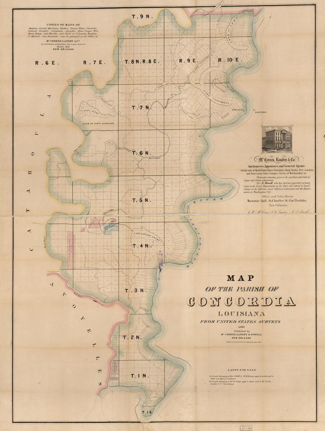 Map of the Parish of Concordia, Louisiana : from United States Surveys 1860
- Regular price
-
From
$32.95 - Regular price
-
$51.99 - Sale price
-
From
$32.95
-
Map of Kerr County, Texas 1879
 Map of Kerr County, Texas 1879
- Regular price
-
From
$32.95 - Regular price
-
$51.99 - Sale price
-
From
$32.95
-
Map of Comal County 1879
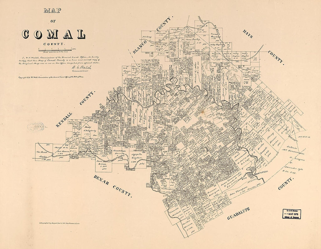 Map of Comal County 1879
- Regular price
-
From
$34.95 - Regular price
-
$49.99 - Sale price
-
From
$34.95
-
Bosque County 1890
 Bosque County 1890
- Regular price
-
From
$34.95 - Regular price
-
$49.99 - Sale price
-
From
$34.95
-
Map of the Northern Part of Virginia and West Virginia, Between the Blue Ridge and the Alleghany Front, South of the Potomac River and North of New Market 1860
 Map of the Northern Part of Virginia and West Virginia, Between the Blue Ridge and the Alleghany Front, South of the Potomac River and North of New Market 1860
- Regular price
-
From
$28.95 - Regular price
-
$44.95 - Sale price
-
From
$28.95
-
Post Route Map of the State of West Virginia : Showing Post Offices With the Intermediate Distances On Mail Routes In Operation On the 1st of January 1919 (West Virginia)
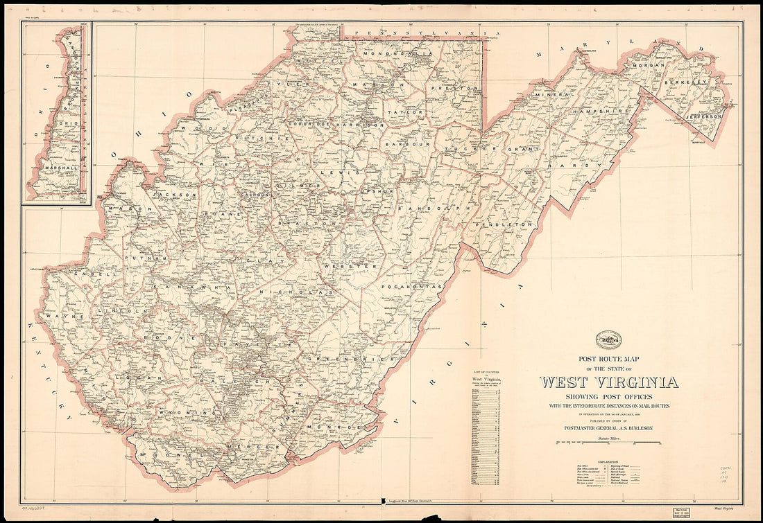 Post Route Map of the State of West Virginia : Showing Post Offices With the Intermediate Distances On Mail Routes In Operation On the 1st of January 1919 (West Virginia)
- Regular price
-
From
$41.95 - Regular price
-
$66.99 - Sale price
-
From
$41.95
-
November 1863 1892
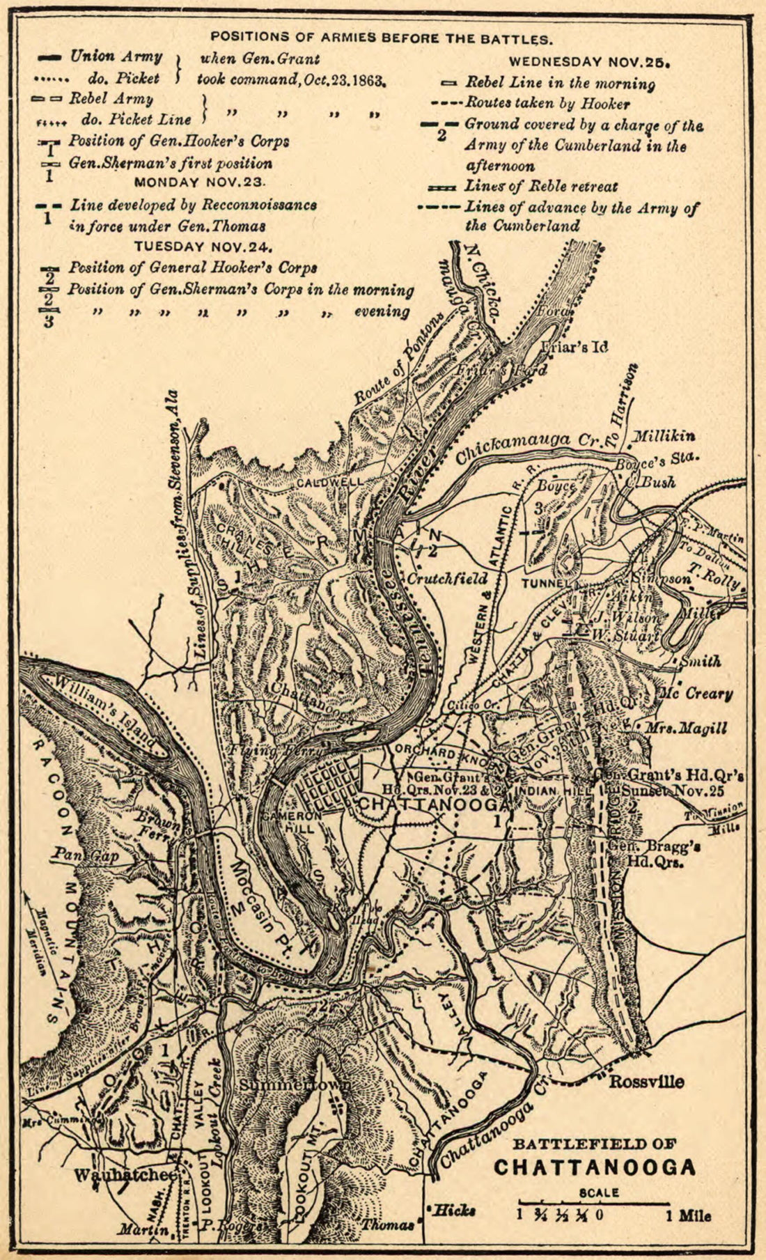 November 1863 1892
- Regular price
-
From
$19.95 - Regular price
-
$29.95 - Sale price
-
From
$19.95
-
The Battle Fields and Military Positions In the Virginian Peninsula, from Surveys Supplied by Officers of the Army 1862
 The Battle Fields and Military Positions In the Virginian Peninsula, from Surveys Supplied by Officers of the Army 1862
- Regular price
-
From
$27.95 - Regular price
-
$42.95 - Sale price
-
From
$27.95


